Newtown
Settlement in Yorkshire
England
Newtown

Newtown is a charming village located in the county of Yorkshire, England. Situated in the stunning countryside, Newtown offers a peaceful and idyllic setting for both its residents and visitors alike. The village is nestled between rolling hills, green meadows, and picturesque streams, providing a serene and natural atmosphere.
With a population of around 500 people, Newtown maintains a close-knit community spirit. The village is known for its friendly locals, who warmly welcome visitors and take pride in their heritage. The traditional stone-built houses and well-maintained gardens contribute to the village's aesthetic appeal.
Newtown offers a range of amenities to cater to the needs of its residents. The village boasts a local pub, The Green Man, which is a popular gathering spot for locals and tourists alike. The pub serves delicious traditional English cuisine and offers a selection of locally brewed beers.
For outdoor enthusiasts, Newtown provides ample opportunities for exploration. The surrounding countryside offers picturesque walking trails, providing breathtaking views of the rolling Yorkshire landscape. Newtown is also known for its fishing spots, with the nearby River Aire attracting anglers from far and wide.
In terms of education, Newtown is home to a well-regarded primary school, which has consistently achieved high academic standards. The village also benefits from regular bus services, connecting residents to nearby towns and cities.
Overall, Newtown is a quintessential English village that offers a tranquil and scenic lifestyle. Whether it be enjoying the natural beauty, engaging with the friendly community, or exploring the surrounding countryside, Newtown has something to offer for everyone.
If you have any feedback on the listing, please let us know in the comments section below.
Newtown Images
Images are sourced within 2km of 53.64929/-1.7888919 or Grid Reference SE1416. Thanks to Geograph Open Source API. All images are credited.


Newtown is located at Grid Ref: SE1416 (Lat: 53.64929, Lng: -1.7888919)
Division: West Riding
Unitary Authority: Kirklees
Police Authority: West Yorkshire
What 3 Words
///times.stray.rich. Near Huddersfield, West Yorkshire
Nearby Locations
Related Wikis

St Patrick's Church, Huddersfield
St Patrick's Church is a Roman Catholic church in Huddersfield, West Yorkshire. It serves the Parish of the Holy Redeemer in the Deanery of Huddersfield...
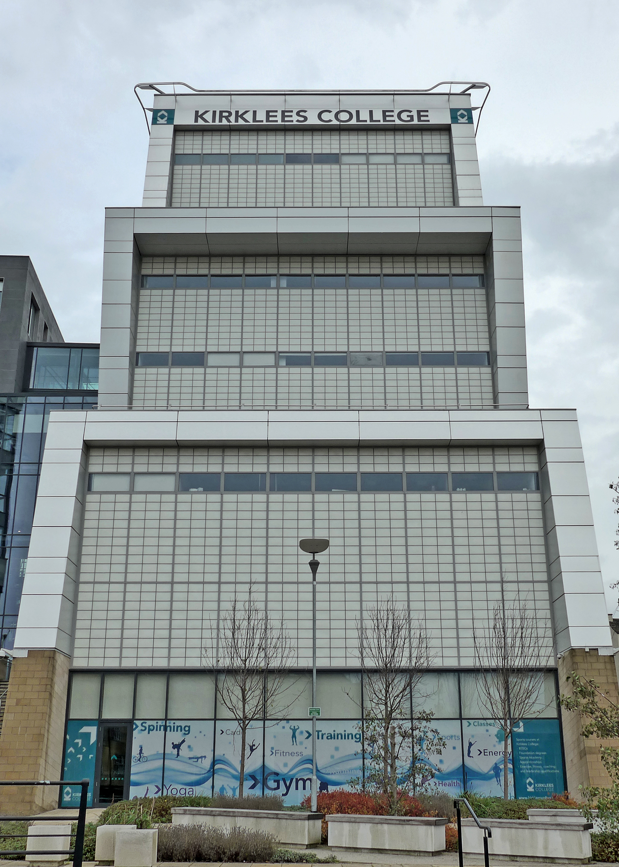
Kirklees College
Kirklees College is a further education college with two main centres in the towns of Dewsbury and Huddersfield in West Yorkshire, England. == History... ==

Pennine Radio Limited
Pennine Radio Limited is a UK manufacturer of electronic equipment, transformers and inductors, ride on electric golf carts, sheet metalwork and computer...

Holy Trinity Church, Huddersfield
Holy Trinity Church is a Church of England parish church in the town of Huddersfield, West Yorkshire, England. It opened in 1819 and is a grade II* listed...
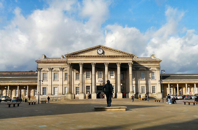
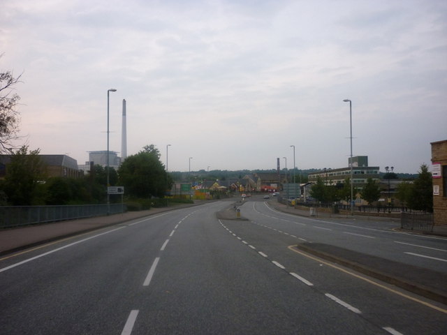
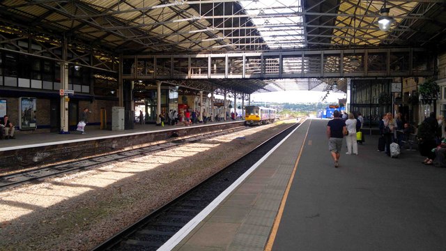
Huddersfield railway station
Huddersfield railway station serves the town of Huddersfield in West Yorkshire, England. The station is managed by TransPennine Express, which provides...

Greenhead College
Greenhead College is a sixth form college, and former grammar school, located in Huddersfield, in the county of West Yorkshire, England. The current principal...
Huddersfield factory fire
The Huddersfield factory fire occurred on 31 October 1941 in the town of Huddersfield, West Yorkshire, England, inside the H Booth & Son factory. The fire...

George Hotel, Huddersfield
The George Hotel in Huddersfield, West Yorkshire, England, is a Grade II* listed building, designed by William Wallen, with an Italianate façade. It was...
Related Videos
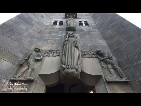
Lindley Clock Tower 2018 - Trig Points Hiking Walking Vlogging
Lindley Clock Tower Situated on the corner of Lidget Street and Daisy Lea Lane the tower was previously owned by Kirklees ...

Huddersfield walking tour 4K | UK | England | 2021
Huddersfield Huddersfield is a large historic market, university and mill town in the Metropolitan Borough of Kirklees in West ...

#Travel@Yorkshire. Heroics in Holmfirth.
DigleyReservoir #Dayout #explore. Huddersfield.

#Travel@Yorkshire.
Lovefilming.
Nearby Amenities
Located within 500m of 53.64929,-1.7888919Have you been to Newtown?
Leave your review of Newtown below (or comments, questions and feedback).