Newtown

Settlement in Staffordshire South Staffordshire

England

Newtown

Canal cruising near Penkridge in Staffordshire This is the Staffordshire and Worcestershire Canal meandering southwards towards Penkridge and Wolverhampton. The narrowboat is called "Beeston Castle".
Canal cruising near Penkridge in Staffordshire Credit: Roger D Kidd

Newtown is a small village located in the county of Staffordshire, England. Situated approximately 5 miles south of the town of Stafford, Newtown is nestled in the picturesque countryside of the West Midlands. The village is home to around 500 residents, making it a close-knit and tight community.

The origin of Newtown dates back to the medieval era, with its first recorded mention in the Domesday Book of 1086. Over the centuries, the village has retained its traditional charm, with many buildings showcasing beautiful examples of Tudor and Georgian architecture. The village is characterized by its quaint cottages, a charming church, and a small village green.

Despite its small size, Newtown offers a range of amenities for its residents. The village boasts a local primary school, providing education for children in the area. Additionally, there is a village hall that serves as a hub for community activities and events. Newtown also benefits from being in close proximity to Stafford, where residents can access a wider range of services and facilities.

One of the main attractions near Newtown is the stunning Cannock Chase, an Area of Outstanding Natural Beauty. This expansive forest offers picturesque walking trails, cycling routes, and opportunities for wildlife spotting. The village is also within easy reach of other popular attractions in Staffordshire, such as the historic Shugborough Estate and the thrilling Alton Towers theme park.

Overall, Newtown, Staffordshire, is a serene and idyllic village that provides a peaceful countryside lifestyle while still being within reach of larger towns and attractions. Its rich history, friendly community, and beautiful surroundings make it a wonderful place to live or visit.

If you have any feedback on the listing, please let us know in the comments section below.
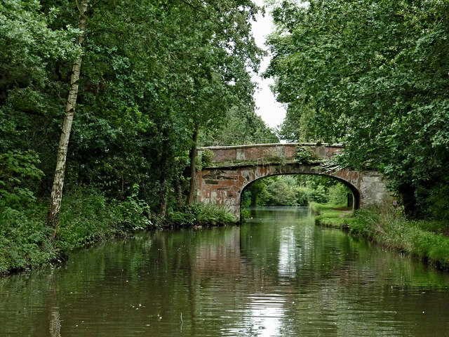
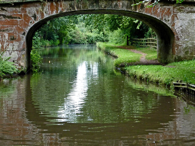
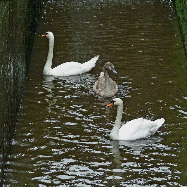
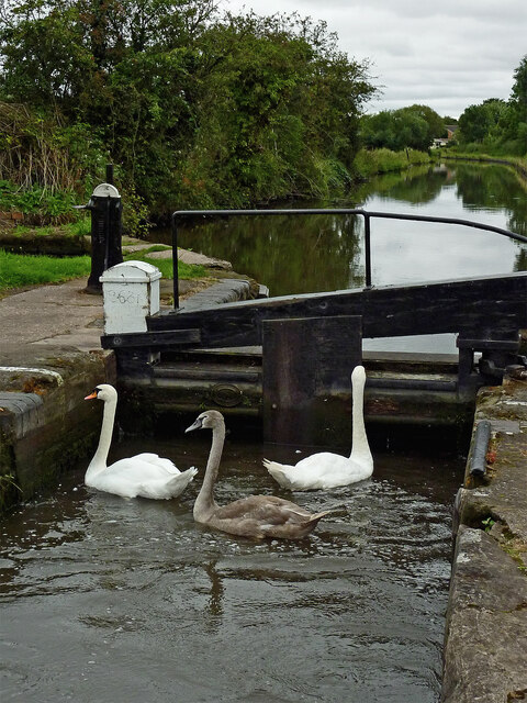
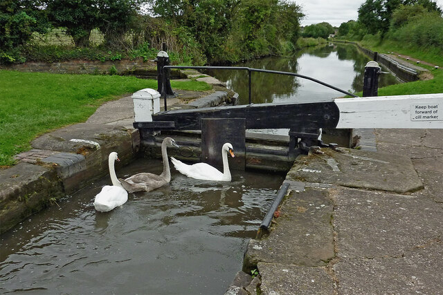
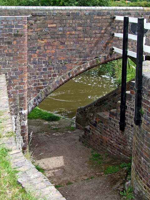
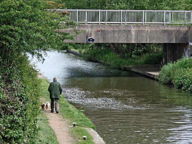
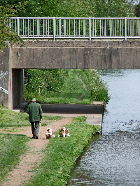
Newtown Images

Images are sourced within 2km of 52.72714/-2.0742748 or Grid Reference SJ9514. Thanks to Geograph Open Source API. All images are credited.

Canal cruising near Penkridge in Staffordshire This is the Staffordshire and Worcestershire Canal meandering southwards towards Penkridge and Wolverhampton. The narrowboat is called "Beeston Castle".
Canal cruising near Penkridge in Staffordshire
This is the Staffordshire and Worcestershire Canal meandering southwards towards Penkridge and Wolverhampton. The narrowboat is called "Beeston Castle".
Teddesley Park Bridge near Penkridge in Staffordshire Looking south-south-east towards Penkridge and Wolverhampton.
Teddesley Park Bridge is No 89 across the Staffordshire and Worcestershire Canal. The accommodation bridge carries a farm track and public footpath.
Teddesley Park Bridge near Penkridge in Staffordshire
Looking south-south-east towards Penkridge and Wolverhampton. Teddesley Park Bridge is No 89 across the Staffordshire and Worcestershire Canal. The accommodation bridge carries a farm track and public footpath.
Swans in Longford Lock near Penkridge, Staffordshire These three wanted a free lift up to the next water level.

<a href="https://www.geograph.org.uk/photo/7049547">SJ9314 : Swans using Longford Lock near Penkridge, Staffordshire</a>
Swans in Longford Lock near Penkridge, Staffordshire
These three wanted a free lift up to the next water level. SJ9314 : Swans using Longford Lock near Penkridge, Staffordshire
Mixed usage of Longord Lock near Penkridge The three swans swam into the lock chamber in front of the narrowboat. Despite the turbulence of the water entering the lock through the gate paddles, they showed little sign of distress or concern.

Longford Lock is No 39 on the Staffordshire and Worcestershire Canal, providing a rise (or fall) of ten feet (three metres).


<a href="https://www.geograph.org.uk/photo/7049572">SJ9314 : Longford Lock with swans, north of Penkridge</a>
Mixed usage of Longord Lock near Penkridge
The three swans swam into the lock chamber in front of the narrowboat. Despite the turbulence of the water entering the lock through the gate paddles, they showed little sign of distress or concern. Longford Lock is No 39 on the Staffordshire and Worcestershire Canal, providing a rise (or fall) of ten feet (three metres). SJ9314 : Longford Lock with swans, north of Penkridge
Swans using Longford Lock near Penkridge, Staffordshire Looking south towards Penkridge and Wolverhampton.
The three swans swam into the lock chamber in front of a narrowboat. Despite the turbulence of the water entering the lock through the gate paddles, they showed little sign of distress or concern, and waited patiently for me to open the gate.

Longford Lock is No 39 on the Staffordshire and Worcestershire Canal, providing a rise (or fall) of ten feet (three metres).
Swans using Longford Lock near Penkridge, Staffordshire
Looking south towards Penkridge and Wolverhampton. The three swans swam into the lock chamber in front of a narrowboat. Despite the turbulence of the water entering the lock through the gate paddles, they showed little sign of distress or concern, and waited patiently for me to open the gate. Longford Lock is No 39 on the Staffordshire and Worcestershire Canal, providing a rise (or fall) of ten feet (three metres).
Longford Lock with swans, north of Penkridge Looking south towards Penkridge and Wolverhampton.
The three swans swam into the lock chamber in front of a narrowboat. Despite the initial turbulence of the water entering the lock through the gate paddles, they showed little sign of distress or concern, and are waiting patiently for me to open the gate.

<a href="https://www.geograph.org.uk/photo/7049535">SJ9314 : Mixed usage of Longord Lock near Penkridge</a>

Longford Lock is No 39 on the Staffordshire and Worcestershire Canal, providing a rise (or fall) of ten feet (three metres).
Longford Lock with swans, north of Penkridge
Looking south towards Penkridge and Wolverhampton. The three swans swam into the lock chamber in front of a narrowboat. Despite the initial turbulence of the water entering the lock through the gate paddles, they showed little sign of distress or concern, and are waiting patiently for me to open the gate. SJ9314 : Mixed usage of Longord Lock near Penkridge Longford Lock is No 39 on the Staffordshire and Worcestershire Canal, providing a rise (or fall) of ten feet (three metres).
Housing by the canal near Penkridge in Staffordshire This is the Staffordshire and Worcestershire Canal, looking south-west towards Penkridge Lock. The mobile homes are in Little Marsh Grove.
Housing by the canal near Penkridge in Staffordshire
This is the Staffordshire and Worcestershire Canal, looking south-west towards Penkridge Lock. The mobile homes are in Little Marsh Grove.
Bridge and towpath at Longford Lock near Penkridge Longford Lock No 39 and Broom Bridge No 87 are on the Staffordshire and Worcestershire Canal north-east of Penkridge in Staffordshire.
Bridge and towpath at Longford Lock near Penkridge
Longford Lock No 39 and Broom Bridge No 87 are on the Staffordshire and Worcestershire Canal north-east of Penkridge in Staffordshire.
Canal north-east of Penkridge in Staffordshire This is the Staffordshire and Worcestershire Canal, looking north-north-east at Longford Lock, towards Woodbank Lane Bridge, No 87A.
Canal north-east of Penkridge in Staffordshire
This is the Staffordshire and Worcestershire Canal, looking north-north-east at Longford Lock, towards Woodbank Lane Bridge, No 87A.
Walking the dogs near Penkridge, Staffordshire This is the Staffordshire and Worcestershire Canal, looking north-north-east at Longford Lock, towards Woodbank Lane Bridge, No 87A.
Walking the dogs near Penkridge, Staffordshire
This is the Staffordshire and Worcestershire Canal, looking north-north-east at Longford Lock, towards Woodbank Lane Bridge, No 87A.
Teddesley Boat Yard This is a small boatyard on the Staffs & Worcs Canal just south of Park Gate Lock.
Teddesley Boat Yard
This is a small boatyard on the Staffs & Worcs Canal just south of Park Gate Lock.
Staffs and Worcs canal at Wood Bank Just north of Penkridge, between bridges 88 and 89.
Staffs and Worcs canal at Wood Bank
Just north of Penkridge, between bridges 88 and 89.
Un-smart canal Eighteenth century canal technology still functioning, with the 'smart' M6 motorway almost at a standstill in the background.
Un-smart canal
Eighteenth century canal technology still functioning, with the 'smart' M6 motorway almost at a standstill in the background.
Longford lock 39 Lock 39 is adjacent to bridge number 87, which is named Broom Bridge for a bit of variety. Longford bridge, number 88, is a quarter mile north! In the background is a flat, concrete span with no name because it is a modern addition, being a link to Wood Bank to replace the original road cut by the motorway.
Longford lock 39
Lock 39 is adjacent to bridge number 87, which is named Broom Bridge for a bit of variety. Longford bridge, number 88, is a quarter mile north! In the background is a flat, concrete span with no name because it is a modern addition, being a link to Wood Bank to replace the original road cut by the motorway.
Herd of Deer on the Staffordshire Way, Penkridge
Tree With Arms, Staffordshire Way Can't walk past an unusual tree :)
Tree With Arms, Staffordshire Way
Can't walk past an unusual tree :)
M6 Bridge Crossing the Staffordshire & Worcester Canal
Show me another place!

Newtown is located at Grid Ref: SJ9514 (Lat: 52.72714, Lng: -2.0742748)

Administrative County: Staffordshire

District: South Staffordshire

Police Authority: Staffordshire

What 3 Words

///cakes.mile.inserting. Near Penkridge, Staffordshire

Nearby Locations

Newtown Birkins Wood

Related Wikis

Pillaton, Staffordshire

Pillaton is a small village in Staffordshire, England, nearby to Penkridge and lying on the B5012 road between Cannock and Penkridge. It falls under the...
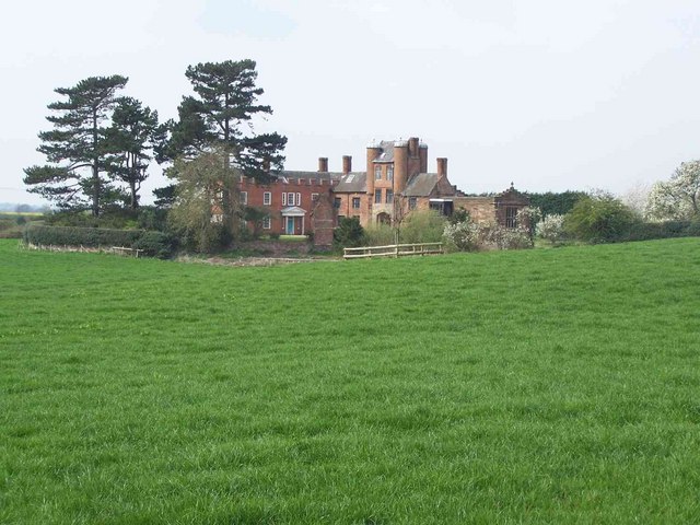
Teddesley Hall

Teddesley Hall was a large Georgian English country house located close to Penkridge in Staffordshire, now demolished. It was the main seat firstly of...

Pillaton Hall

Pillaton Hall was an historic house located in Pillaton, Staffordshire, near Penkridge, England. For more than two centuries it was the seat of the Littleton...

Wolgarston High School

Wolgarston High School is a coeducational upper school and sixth form located in Penkridge, Staffordshire, England. Wolgarston High School is an age 13...

Nearby Amenities

Located within 500m of 52.72714,-2.0742748
New Town
Place: hamlet
Source: OS OpenData
Lat/Long: 52.7274611/-2.0740826
The data included in this document is from www.openstreetmap.org. The data is made available under ODbL.

Have you been to Newtown?

Leave your review of Newtown below (or comments, questions and feedback).