Newtown
Settlement in Cumberland Carlisle
England
Newtown
Newtown, Cumberland is a small town located in Cumberland County, Pennsylvania, United States. Situated in the southern part of the county, Newtown is nestled within the picturesque Appalachian Mountains region. The town covers an area of approximately 2 square miles and is home to a population of around 1,500 residents.
Established in the early 19th century, Newtown has a rich history that can be traced back to its founding as a farming community. Today, it is known for its peaceful and close-knit community atmosphere. The town's residents take pride in preserving its small-town charm and maintaining a strong sense of community.
The heart of Newtown is its quaint downtown area, characterized by historic buildings and local businesses. Here, residents and visitors can find a variety of shops, restaurants, and cafes that cater to their needs. Newtown is also home to several parks and green spaces, providing ample opportunities for outdoor activities such as hiking, picnicking, and sports.
Education in Newtown is served by the Cumberland Valley School District, which provides quality education to students from kindergarten through high school. The town also boasts a public library that serves as a hub for learning and community engagement.
Overall, Newtown, Cumberland offers a peaceful and idyllic living environment for its residents. Its rich history, natural beauty, and strong sense of community make it an attractive place to live and visit.
If you have any feedback on the listing, please let us know in the comments section below.
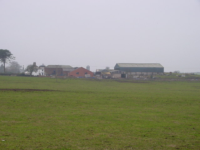
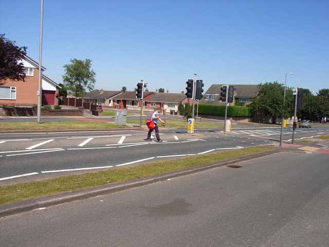
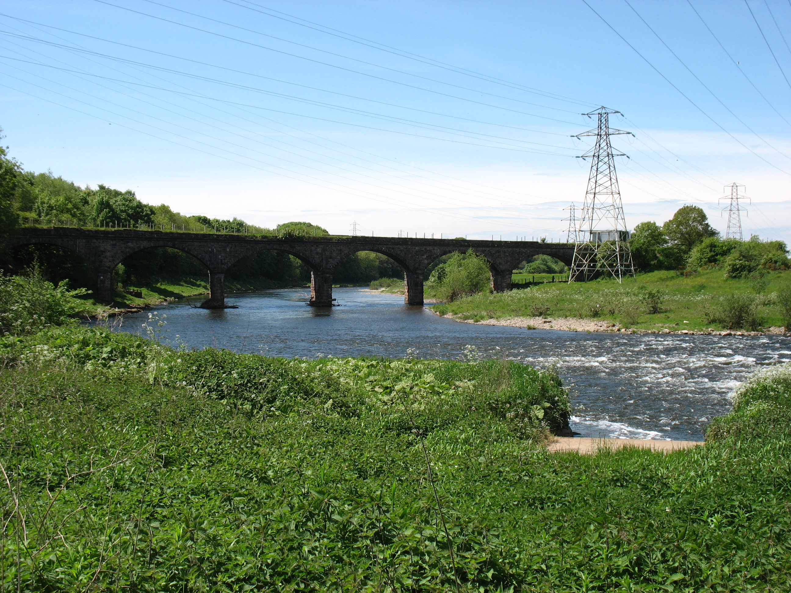
Newtown Images
Images are sourced within 2km of 54.895041/-2.9658186 or Grid Reference NY3856. Thanks to Geograph Open Source API. All images are credited.


Newtown is located at Grid Ref: NY3856 (Lat: 54.895041, Lng: -2.9658186)
Administrative County: Cumbria
District: Carlisle
Police Authority: Cumbria
What 3 Words
///civic.remove.flood. Near Denton Holme, Cumbria
Related Wikis

Raffles, Cumbria
Raffles or the Raffles Estate is a suburb of Carlisle, Cumbria, United Kingdom. The estate consists mainly of council built and Housing association properties...
Milecastle 67
Milecastle 67 (Stainton) is a conjectured milecastle of the Roman Hadrian's Wall. The site of the milecastle has been calculated from measurement to known...

Belle Vue, Cumbria
Belle Vue is a suburb of Carlisle, in the Cumberland district, in the ceremonial county of Cumbria, England. The ward population taken at the 2011 census...

Cumberland Infirmary
Cumberland Infirmary is a hospital in Carlisle, Cumbria, England. It is managed by the North Cumbria Integrated Care NHS Foundation Trust. == History... ==
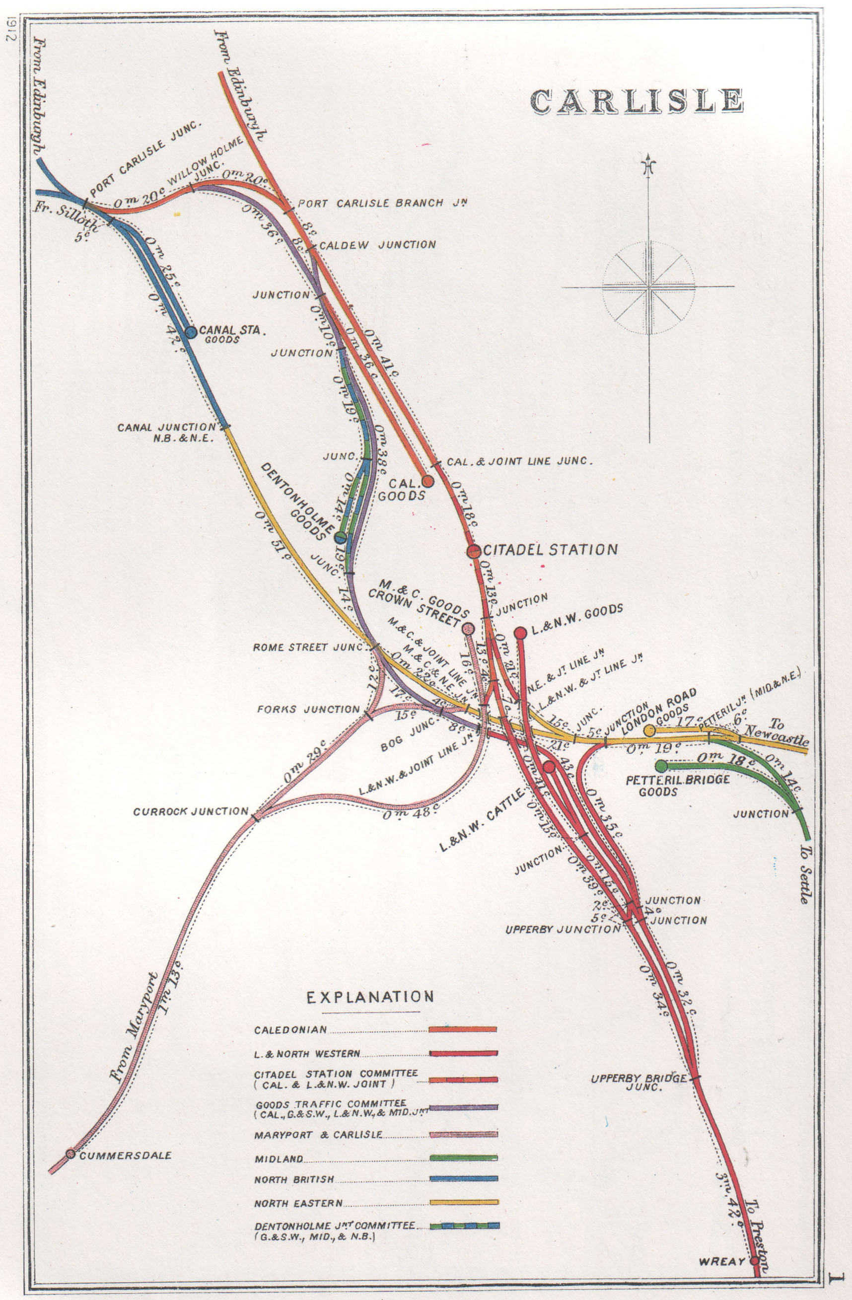
Port Carlisle Junction
Port Carlisle Junction was a railway junction between the lines of the former Caledonian Railway and North British Railway companies lines to the north...

Carlisle power stations
Carlisle power stations were two electricity generating stations that supplied electricity to Carlisle and the surrounding area from 1899 until 1980. The...
Stainton, Kingmoor
Stainton is a hamlet in the Kingmoor parish of Cumberland, Cumbria, England. It is near the city of Carlisle. Circa 1870, it had a population of 63 as...
Carlisle Canal railway station
Carlisle Canal railway station was opened in 1854 as the Carlisle terminus of the Port Carlisle Railway Company's line from Port Carlisle in Cumbria, England...
Nearby Amenities
Located within 500m of 54.895041,-2.9658186Have you been to Newtown?
Leave your review of Newtown below (or comments, questions and feedback).