Nesbit
Settlement in Northumberland
England
Nesbit

Nesbit, Northumberland is a small village located in the county of Northumberland in northeast England. Situated approximately 7 miles south of Berwick-upon-Tweed, Nesbit is surrounded by picturesque countryside and rolling hills, making it an ideal location for those seeking a tranquil and scenic setting.
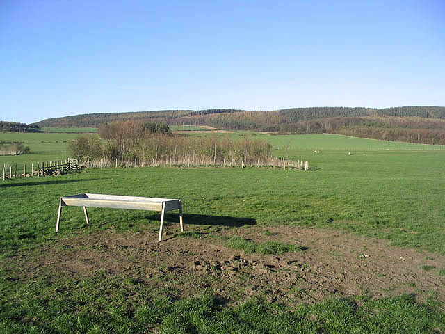
The village itself is relatively small, with a population of around 200 residents. It is characterized by its charming traditional stone houses and a sense of community. The local economy primarily revolves around agriculture, with many residents working in farming or related industries.
Nesbit is well-connected to nearby towns and cities, with good road links to Berwick-upon-Tweed and the A1 highway, providing easy access to Newcastle upon Tyne, Edinburgh, and other major destinations in the region. The village also benefits from a regular bus service, ensuring convenient transportation for both residents and visitors.
Despite its small size, Nesbit offers a range of amenities to cater to the needs of its community. These include a village hall, a primary school, and a local pub, serving as a central hub for socializing and community events.
The surrounding natural beauty of Nesbit provides ample opportunities for outdoor activities such as hiking, cycling, and birdwatching. The village is also in close proximity to the coast, allowing residents and visitors to enjoy the sandy beaches and stunning coastal scenery.
Overall, Nesbit, Northumberland is a peaceful and idyllic village that combines a rural lifestyle with convenient access to nearby towns and cities, making it an appealing destination for those seeking a slower pace of life in a picturesque setting.
If you have any feedback on the listing, please let us know in the comments section below.
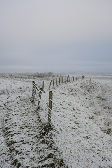
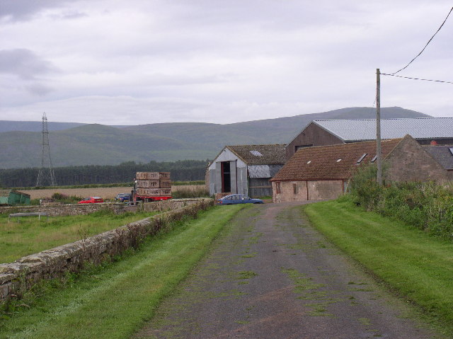
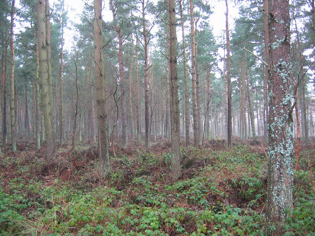
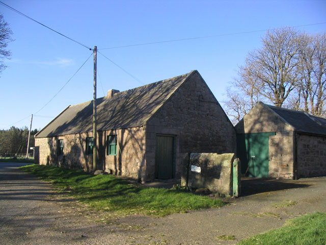
Nesbit Images
Images are sourced within 2km of 55.597057/-2.0259344 or Grid Reference NT9833. Thanks to Geograph Open Source API. All images are credited.


Nesbit is located at Grid Ref: NT9833 (Lat: 55.597057, Lng: -2.0259344)
Unitary Authority: Northumberland
Police Authority: Northumbria
What 3 Words
///owners.waistcoat.surprises. Near Doddington, Northumberland
Nearby Locations
Related Wikis

Nesbit, Northumberland
Nesbit is a hamlet and former civil parish, now in the parish of Doddington, Northumberland, England. It was once the site of a medieval village. In maps...
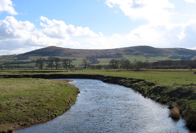
River Glen, Northumberland
The River Glen is a seven mile long tributary of the River Till flowing through Northumberland, England. The College Burn and Bowmont Water, both flowing...
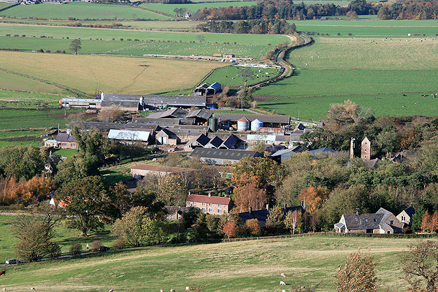
Doddington, Northumberland
The village and parish of Doddington are on the east side of the Milfield Plain, nearly 3 miles north of the town of Wooler, in the county of Northumberland...

RAF Milfield
Royal Air Force Milfield or more simply RAF Milfield is a former Royal Air Force station which operated during the Second World War, located near Milfield...
Nearby Amenities
Located within 500m of 55.597057,-2.0259344Have you been to Nesbit?
Leave your review of Nesbit below (or comments, questions and feedback).