Neds Top
Settlement in Gloucestershire Forest of Dean
England
Neds Top
Neds Top is a small village located in the county of Gloucestershire, England. Situated in the picturesque Cotswold Hills, it is known for its idyllic rural setting and charming stone cottages. The village is surrounded by rolling green fields, offering stunning views of the English countryside.
Neds Top is a tight-knit community with a population of around 300 residents. The village is renowned for its friendly and welcoming atmosphere, making it an ideal place to live or visit. Its close proximity to larger towns and cities such as Cheltenham and Gloucester provides easy access to a range of amenities and services.
The village is rich in history, with some of its buildings dating back to the 17th century. The local church, St. Mary's, is a notable landmark with its striking architectural features. Neds Top also boasts a village hall, where various events and activities are held throughout the year, fostering a strong sense of community spirit.
For outdoor enthusiasts, Neds Top offers plenty of opportunities for leisurely walks and exploration. The surrounding countryside is crisscrossed with footpaths, allowing residents and visitors to enjoy the stunning natural beauty of the area. Additionally, the nearby Cotswold Way provides a longer trail for hiking enthusiasts.
Overall, Neds Top is a quintessential English village, offering a peaceful and picturesque retreat from the hustle and bustle of city life. Its rich history, warm community, and stunning countryside make it a truly charming destination.
If you have any feedback on the listing, please let us know in the comments section below.
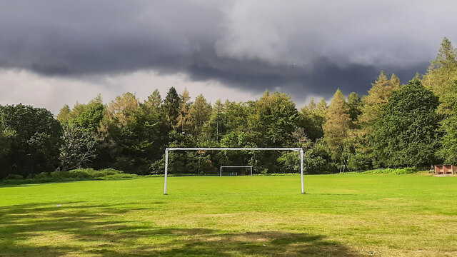
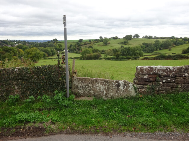
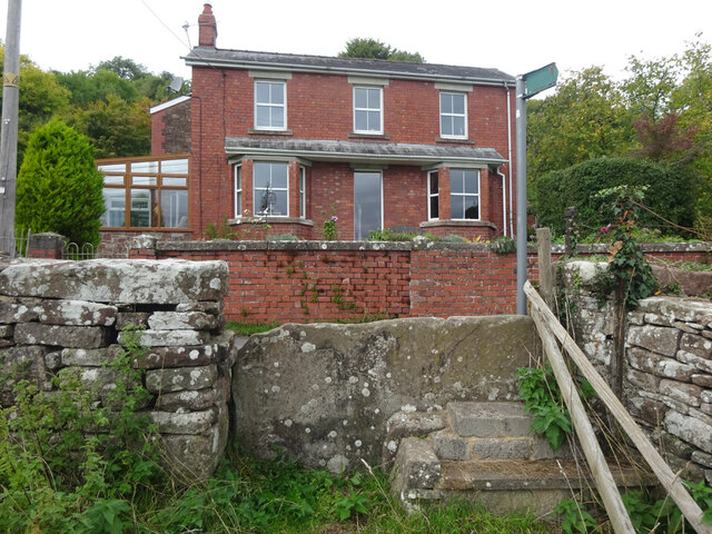
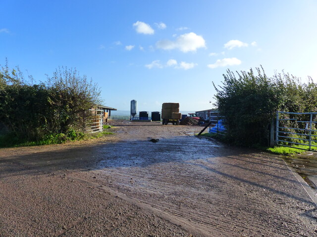
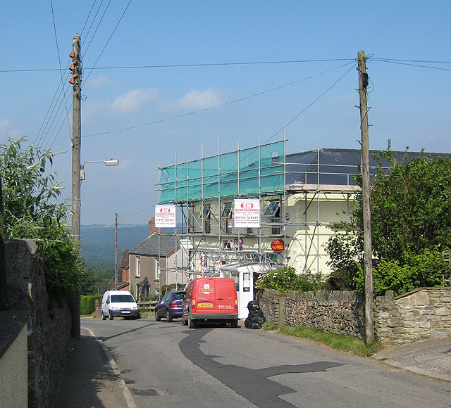
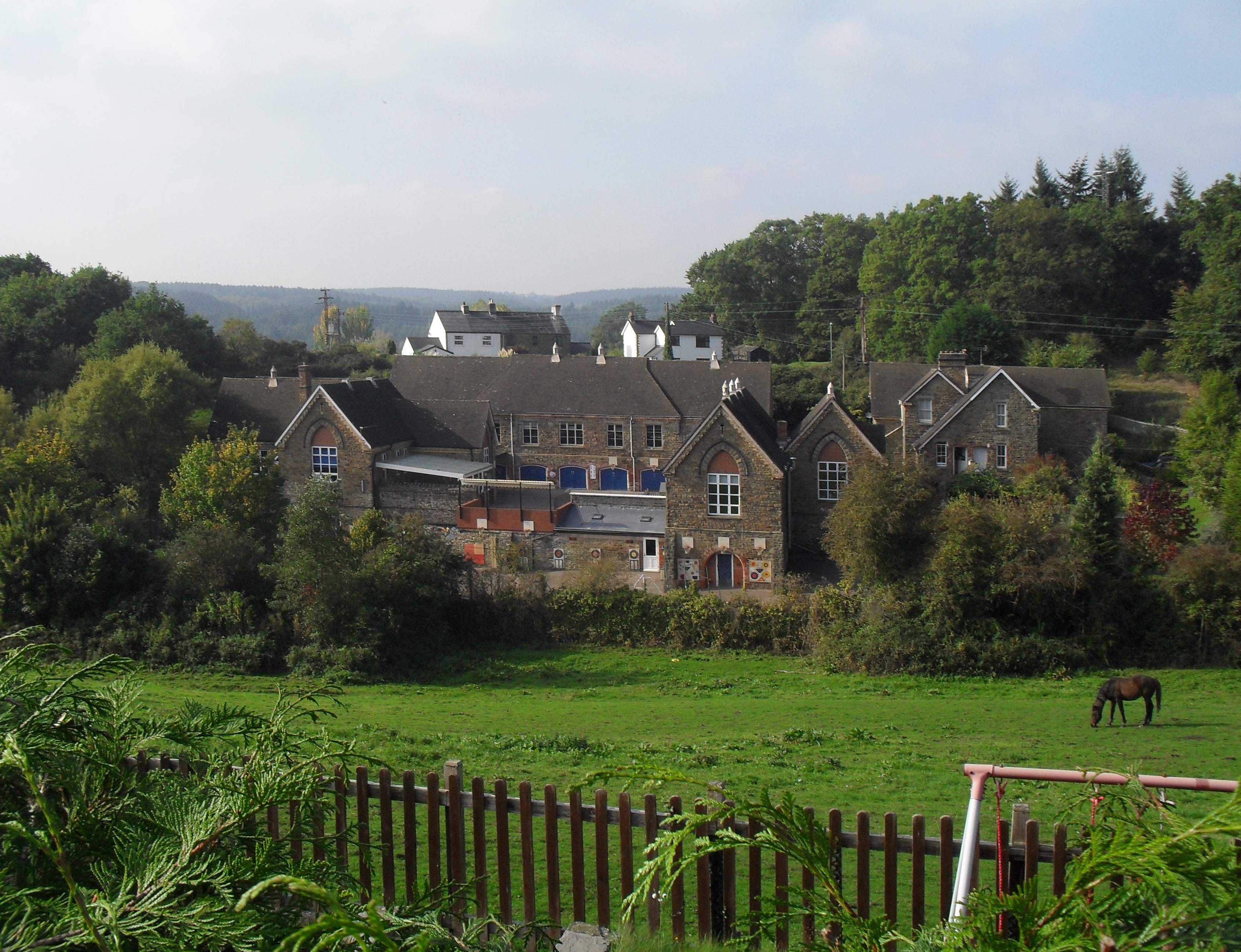
Neds Top Images
Images are sourced within 2km of 51.750414/-2.510473 or Grid Reference SO6405. Thanks to Geograph Open Source API. All images are credited.


Neds Top is located at Grid Ref: SO6405 (Lat: 51.750414, Lng: -2.510473)
Administrative County: Gloucestershire
District: Forest of Dean
Police Authority: Gloucestershire
What 3 Words
///worry.assurance.whites. Near Lydney, Gloucestershire
Nearby Locations
Related Wikis

Oldcroft
Oldcroft is a hamlet in Gloucestershire, England. The village of Yorkley is to the northwest, and the hamlet of Viney Hill is to the northeast. == History... ==
Yorkley
Yorkley is a village in west Gloucestershire, England. The village includes the settlement of Yorkley Slade to the east. Yorkley is situated between the...

Brain's Green
Brain's Green is a hamlet in Gloucestershire, England. == References ==

Clarke's Pool Meadow SSSI
Clarke's Pool Meadow (grid reference SO668061) is a 1.8-hectare (4.4-acre) biological Site of Special Scientific Interest in Gloucestershire, notified...
Oakenhill Railway Cutting
Oakenhill Railway Cutting (grid reference SO630069) is a 0.81-hectare (2.0-acre) geological Site of Special Scientific Interest in Gloucestershire, notified...
Pillowell
Pillowell is a small English village in Gloucestershire, on the south-eastern edge of the Forest of Dean. Once a mining village, much of it now lies in...

Dean Forest Railway
The Dean Forest Railway is a 4+1⁄4-mile (6.8 km) long heritage railway that runs between Lydney and Parkend in the Forest of Dean, Gloucestershire. The...
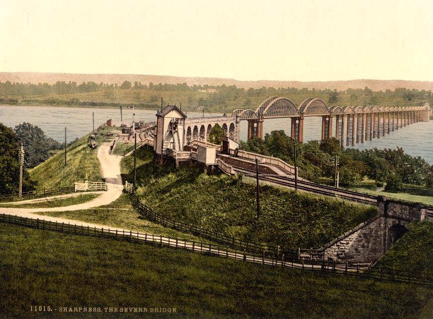
Severn Bridge railway station
Severn Bridge railway station was a small station on the Severn Bridge Railway located close to the north west bank of the River Severn, 2 miles (3 km...
Nearby Amenities
Located within 500m of 51.750414,-2.510473Have you been to Neds Top?
Leave your review of Neds Top below (or comments, questions and feedback).