Napsbury
Settlement in Hertfordshire St. Albans
England
Napsbury
Napsbury is a small village located in Hertfordshire, England. Situated about 2 miles south of St Albans, it is part of the St Stephen civil parish. The village is known for its picturesque surroundings and historical significance.
Napsbury has a rich history that dates back to the Roman times. The name "Napsbury" is believed to have derived from the Old English words "nappe" and "burh," meaning a hill with a shrine or fortification. The village was mentioned in the Domesday Book of 1086 as "Napesberie," highlighting its long-standing existence.
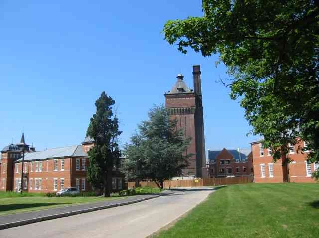
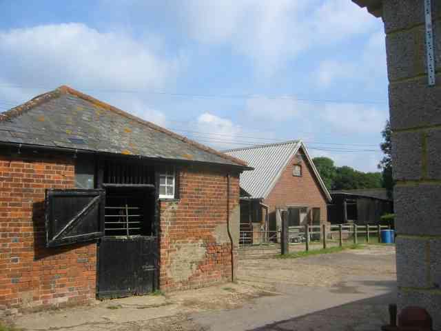
One of the notable landmarks in Napsbury is the Napsbury Hospital, formerly known as the Middlesex County Asylum. Built in the late 19th century, the hospital was designed by architect Rowland Plumbe and played a significant role in the treatment of mental health patients. Although the hospital closed in the 1990s, the historic buildings have been converted into residential units, preserving their architectural charm.
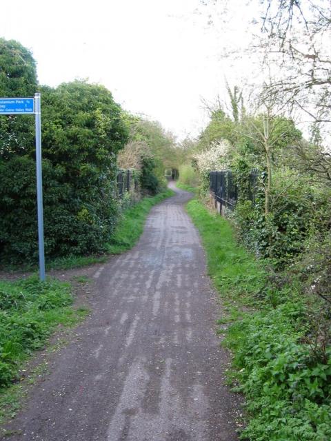
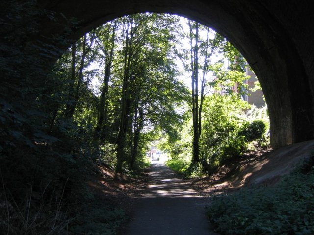
The village of Napsbury offers a peaceful and rural atmosphere, with a mix of historic buildings and modern developments. Surrounded by lush green fields and woodland, it provides residents and visitors with ample opportunities for outdoor activities such as walking, cycling, and exploring nature.
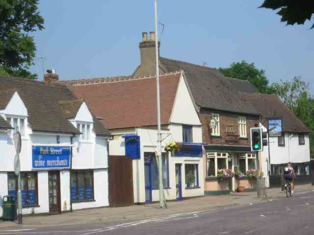
Despite its tranquil setting, Napsbury benefits from its close proximity to St Albans, which offers a range of amenities including shops, restaurants, and cultural attractions. The village is well-connected by road and public transport, making it easily accessible for commuters and those wishing to explore the wider Hertfordshire region.
In summary, Napsbury is a charming village in Hertfordshire, known for its historical significance, natural beauty, and peaceful surroundings. With its rich heritage and convenient location, it is an attractive place to live or visit.
If you have any feedback on the listing, please let us know in the comments section below.
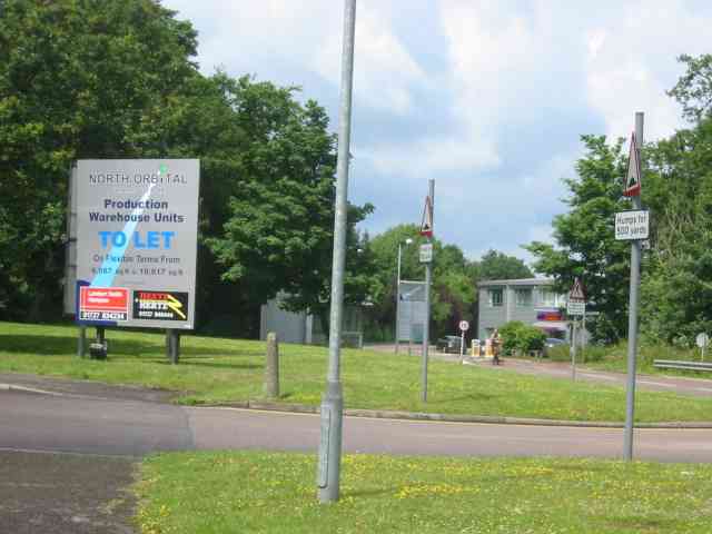
Napsbury Images
Images are sourced within 2km of 51.729091/-0.31885744 or Grid Reference TL1604. Thanks to Geograph Open Source API. All images are credited.


Napsbury is located at Grid Ref: TL1604 (Lat: 51.729091, Lng: -0.31885744)
Administrative County: Hertfordshire
District: St. Albans
Police Authority: Hertfordshire
What 3 Words
///frosted.stands.cats. Near St Albans, Hertfordshire
Nearby Locations
Related Wikis

Napsbury railway station
Napsbury railway station was built by the Midland Railway in 1905 on its line to St Pancras station. It was never more than an island platform between...

Sopwell House
Sopwell House is a historic Georgian country house, now a luxury 128 bedroom hotel, country club & spa located south of St Albans, Hertfordshire, England...

Napsbury Hospital
Napsbury Hospital was a mental health facility near London Colney in Hertfordshire. It had two sister institutions, Harperbury Hospital and Shenley Hospital...

Napsbury Park
Napsbury Park is a residential development in Hertfordshire, England. It is located to the north of London, at Junction 22 of the M25 motorway and Junction...

London Colney F.C.
London Colney Football Club is a football club based in London Colney, near St Albans, England. They are currently members of the Combined Counties League...
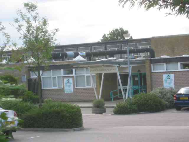
Samuel Ryder Academy
Samuel Ryder Academy (also known as SRA and formerly Francis Bacon School) is a mixed all-through school located in St Albans in South Hertfordshire, England...

London Colney
London Colney () is a village and civil parish in Hertfordshire, England. It is located to the north of London, close to Junction 22 of the M25 motorway...

Frogmore, Hertfordshire
Frogmore is a village 3 miles (4.8 km) north of Radlett in Hertfordshire, and 2 miles (3.2 km) south of St Albans city centre (though in said city's contiguous...
Nearby Amenities
Located within 500m of 51.729091,-0.31885744Have you been to Napsbury?
Leave your review of Napsbury below (or comments, questions and feedback).