Nant-bâch

Settlement in Flintshire

Wales

Nant-bâch

Trig Point, Halkyn Mountain
Trig Point, Halkyn Mountain Credit: Chris Andrews

The requested URL returned error: 429 Too Many Requests

If you have any feedback on the listing, please let us know in the comments section below.
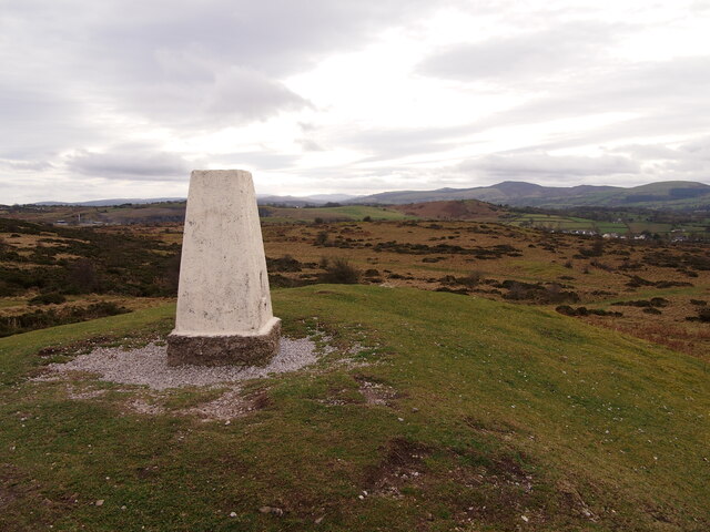
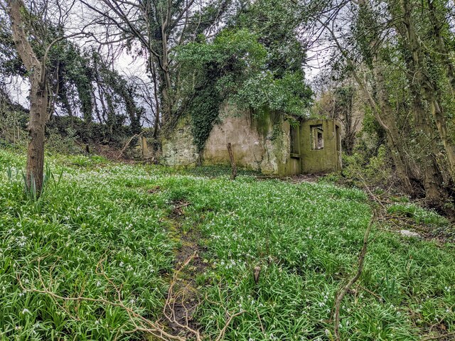
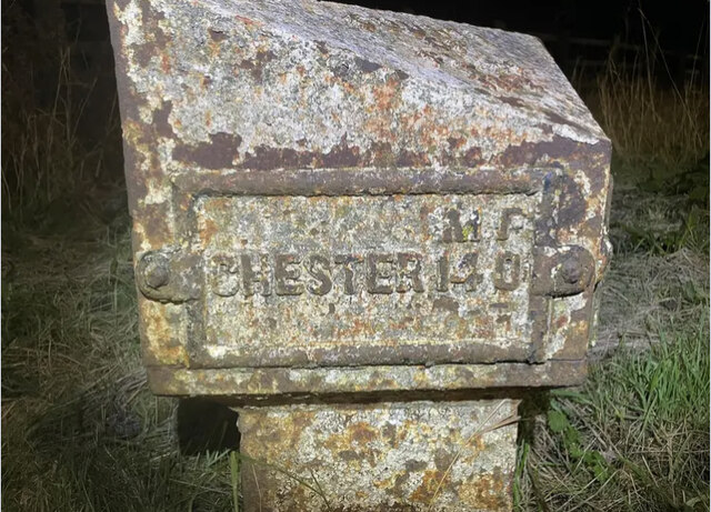
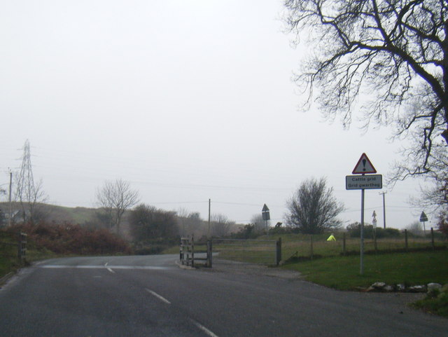
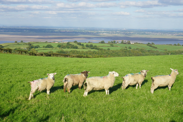
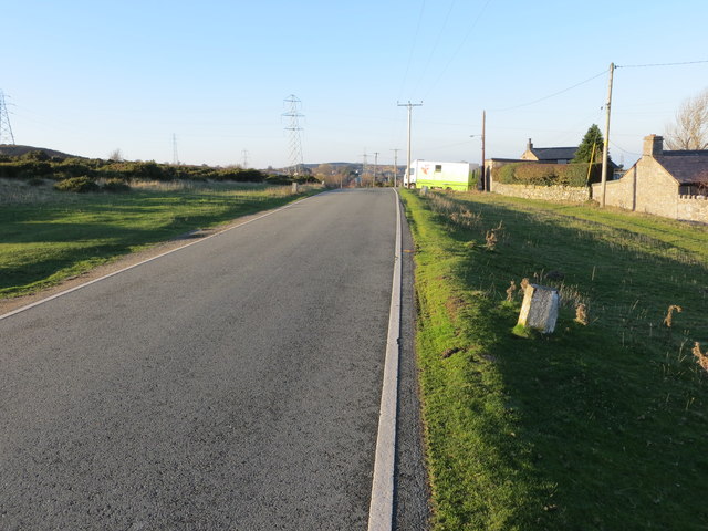
Nant-bâch Images

Images are sourced within 2km of 53.249692/-3.1839863 or Grid Reference SJ2173. Thanks to Geograph Open Source API. All images are credited.

Trig Point, Halkyn Mountain
A carpet of snowdrops and a derelict cottage A carpet of snowdrops lead to a small derelict cottage sitting next to Afon Nant-y-Fflint. Just an entrance porch, two rooms with fireplaces and an extension to the side. The roof has long gone.
A carpet of snowdrops and a derelict cottage
A carpet of snowdrops lead to a small derelict cottage sitting next to Afon Nant-y-Fflint. Just an entrance porch, two rooms with fireplaces and an extension to the side. The roof has long gone.
Old Milepost by the A55, Halkyn Milepost by the A55, in parish of Halkyn (Flintshire District), Halkyn, on grass verge on Northeast side of the A55, below Pen Lan Lane overbridge to Plas Isaf.

Inscription reads:-
M F / CHESTER 14 0 :: COUNTY / OF / FLINT / 1892 :: M F / HOLYWELL 3 2

Grade II listed by Cadw.
Reference Number: 26212 <span class="nowrap"><a title="https://cadwpublic-api.azurewebsites.net/reports/listedbuilding/FullReport?lang=&id=26212" rel="nofollow ugc noopener" href="https://cadwpublic-api.azurewebsites.net/reports/listedbuilding/FullReport?lang=&id=26212">Link</a><img style="margin-left:2px;" alt="External link" title="External link - shift click to open in new window" src="https://s1.geograph.org.uk/img/external.png" width="10" height="10"/></span>

Surveyed

Milestone Society National ID: FLT_CHHO14
Old Milepost by the A55, Halkyn
Milepost by the A55, in parish of Halkyn (Flintshire District), Halkyn, on grass verge on Northeast side of the A55, below Pen Lan Lane overbridge to Plas Isaf. Inscription reads:- M F / CHESTER 14 0 :: COUNTY / OF / FLINT / 1892 :: M F / HOLYWELL 3 2 Grade II listed by Cadw. Reference Number: 26212 LinkExternal link Surveyed Milestone Society National ID: FLT_CHHO14
A55 eastbound near Milwr
Cattle Grid on road to Babell
Tafarn Glan-yr-Afon (Glan-yr-Afon Inn) Within earshot of the busy A55, but a world away.
Tafarn Glan-yr-Afon (Glan-yr-Afon Inn)
Within earshot of the busy A55, but a world away.
Derelict chapel, Dolphin Ebenezer Chapel dated 1841. Was for sale in 2014. Grade II listed <span class="nowrap"><a title="http://www.britishlistedbuildings.co.uk/wa-24444-ebenezer-chapel-brynford" rel="nofollow ugc noopener" href="http://www.britishlistedbuildings.co.uk/wa-24444-ebenezer-chapel-brynford">Link</a><img style="margin-left:2px;" alt="External link" title="External link - shift click to open in new window" src="https://s1.geograph.org.uk/img/external.png" width="10" height="10"/></span>
Derelict chapel, Dolphin
Ebenezer Chapel dated 1841. Was for sale in 2014. Grade II listed LinkExternal link
Henblas Derelict farmhouse on the slopes of Halkyn Mountain.
Henblas
Derelict farmhouse on the slopes of Halkyn Mountain.
Pen-yr-Henblas Old lead workings on Halkyn Mountain.
Pen-yr-Henblas
Old lead workings on Halkyn Mountain.
Remains of a former quarry on Bryn Mawr The hill commands views over the Dee Estuary, and Liverpool is visible on the far right of the image.
Remains of a former quarry on Bryn Mawr
The hill commands views over the Dee Estuary, and Liverpool is visible on the far right of the image.
Sheep above Dolphin The sheep are nicely lined up on a hillside overlooking the Dee Estuary. One of the features discernible in the distance is the Runcorn Bridge, while the Anglican Liverpool Cathedral can be seen far left..
Sheep above Dolphin
The sheep are nicely lined up on a hillside overlooking the Dee Estuary. One of the features discernible in the distance is the Runcorn Bridge, while the Anglican Liverpool Cathedral can be seen far left..
Pen yr Henblas Quarry 2 The disused quarry that exploited the Pentre Chert Formation (see <a href="https://www.geograph.org.uk/photo/5554450">SJ1972 : Pentre Chert Formation</a>). It is recorded that the chert, a compact, sometimes glassy rock comprising microcrystalline silica, was exploited for use in the ceramics industry as an additive in the bodies for porcelain and bone china.
Pen yr Henblas Quarry 2
The disused quarry that exploited the Pentre Chert Formation (see SJ1972 : Pentre Chert Formation). It is recorded that the chert, a compact, sometimes glassy rock comprising microcrystalline silica, was exploited for use in the ceramics industry as an additive in the bodies for porcelain and bone china.
Layby on the Westbound A55 near Milwr The A55, also known as the North Wales Expressway (Gwibffordd Gogledd Cymru), is the major road in North Wales running for 88 miles between Chester and Holyhead via Conwy and Bangor. 

The A55 is a very high quality road, much of it rebuilt since the 1970s in response to traffic problems in Colwyn Bay, Colwyn and Llandudno caused by traffic having to pass through town centres on totally unsuitable streets, (especially in Conwy where lorries often scraped their paintwork as they passed through 12th century arches in the town's walls), leading to the construction of an east-west expressway bypassing the urban centres. It is a dual carriageway primary route for its entire length with the exception of the point where it crosses the Britannia Bridge over the Menai Strait. All of its junctions are grade separated except for two roundabouts; one east of Penmaenmawr and one in Llanfairfechan. The road originally ran from Chester to Bangor but was extended parallel to the A5 across Anglesey right into Holyhead Docks in 2001.

<span class="nowrap"><a title="http://www.sabre-roads.org.uk/wiki/index.php?title=A55" rel="nofollow ugc noopener" href="http://www.sabre-roads.org.uk/wiki/index.php?title=A55">Link</a><img style="margin-left:2px;" alt="External link" title="External link - shift click to open in new window" src="https://s1.geograph.org.uk/img/external.png" width="10" height="10"/></span>  SABRE
Layby on the Westbound A55 near Milwr
The A55, also known as the North Wales Expressway (Gwibffordd Gogledd Cymru), is the major road in North Wales running for 88 miles between Chester and Holyhead via Conwy and Bangor. The A55 is a very high quality road, much of it rebuilt since the 1970s in response to traffic problems in Colwyn Bay, Colwyn and Llandudno caused by traffic having to pass through town centres on totally unsuitable streets, (especially in Conwy where lorries often scraped their paintwork as they passed through 12th century arches in the town's walls), leading to the construction of an east-west expressway bypassing the urban centres. It is a dual carriageway primary route for its entire length with the exception of the point where it crosses the Britannia Bridge over the Menai Strait. All of its junctions are grade separated except for two roundabouts; one east of Penmaenmawr and one in Llanfairfechan. The road originally ran from Chester to Bangor but was extended parallel to the A5 across Anglesey right into Holyhead Docks in 2001. LinkExternal link SABRE
Path into the disused Pen yr Henblas Quarries Looking north-westward.
Path into the disused Pen yr Henblas Quarries
Looking north-westward.
Minor road near Halkyn Mountain Looking north-westward.
Minor road near Halkyn Mountain
Looking north-westward.
Layby just west of Junction 32
Open farm gate In the Flintshire hills near Dolphin
Open farm gate
In the Flintshire hills near Dolphin
Lay-by on the A5026
Lay-by on the A5026
Show me another place!

Nant-bâch is located at Grid Ref: SJ2173 (Lat: 53.249692, Lng: -3.1839863)

Unitary Authority: Flintshire

Police Authority: North Wales

What 3 Words

///trombone.relay.managers. Near Bagillt, Flintshire

Nearby Locations

Nant-bâch

Related Wikis

Delyn (UK Parliament constituency)

Delyn is a constituency represented in the House of Commons of the UK Parliament since 2019 by Rob Roberts, who was elected as a Conservative, but currently...

Delyn (Senedd constituency)

Delyn is a constituency of the Senedd. It elects one Member of the Senedd by the first past the post method of election. Also, however, it is one of nine...

Flintshire (historic)

Until 1974, Flintshire (Welsh: Sir y Fflint), also known as the County of Flint, was an administrative county in the north-east of Wales, later classed...

Pentre Halkyn

Pentre Halkyn (Welsh: Pentre Helygain) is a small village in Flintshire, Wales. It is situated approximately two miles from Holywell, and is off Junction...

Nearby Amenities

Located within 500m of 53.249692,-3.1839863
Power: tower
Lat/Long: 53.2474686/-3.1779514
Power: tower
Lat/Long: 53.2482624/-3.1849455
Power: tower
Lat/Long: 53.248792/-3.1893963
Man Made: mast
Lat/Long: 53.2527346/-3.1825685
Power: pole
Lat/Long: 53.2483059/-3.1780783
Power: pole
Lat/Long: 53.248132/-3.1796714
Power: pole
Lat/Long: 53.2483888/-3.1815152
Power: pole
Lat/Long: 53.2487386/-3.1830224
Power: pole
Lat/Long: 53.2490359/-3.1843268
Power: pole
Lat/Long: 53.2492158/-3.1850871
Power: pole
Lat/Long: 53.2493655/-3.1859219
Power: pole
Lat/Long: 53.2495919/-3.1871891
Power: pole
Lat/Long: 53.250057/-3.1898622
Power: pole
Lat/Long: 53.2455921/-3.1824806
Power: pole
Lat/Long: 53.2458668/-3.1836884
Power: pole
Lat/Long: 53.2460567/-3.1845172
Power: pole
Lat/Long: 53.2466737/-3.1895559
Power: pole
Lat/Long: 53.2469539/-3.1891523
Direction: 235
Generator Method: photovoltaic
Generator Output Electricity: yes
Generator Solar Modules: 16
Generator Source: solar
Generator Type: solar_photovoltaic_panel
Location: roof
Power: generator
Lat/Long: 53.2493005/-3.1794745
The data included in this document is from www.openstreetmap.org. The data is made available under ODbL.

Have you been to Nant-bâch?

Leave your review of Nant-bâch below (or comments, questions and feedback).