Nansladron

Settlement in Cornwall

England

Nansladron

Horse and Stable The prancing horse in his stable.
Horse and Stable Credit: Jay Pea

The requested URL returned error: 429 Too Many Requests

If you have any feedback on the listing, please let us know in the comments section below.
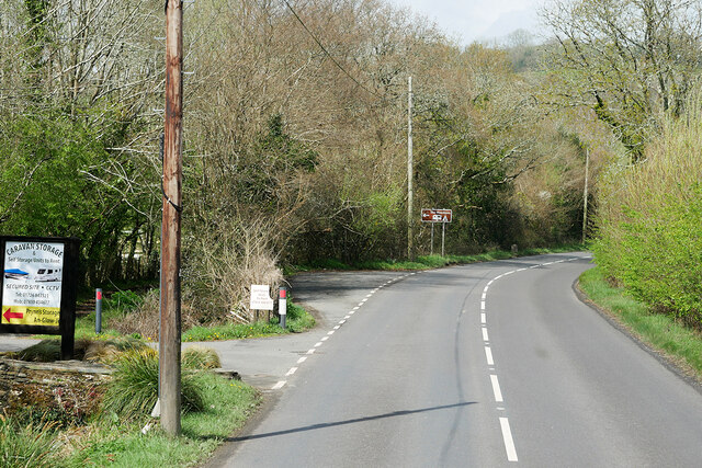
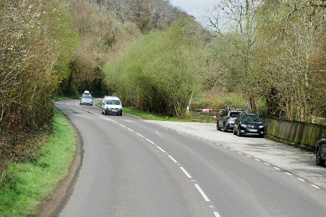
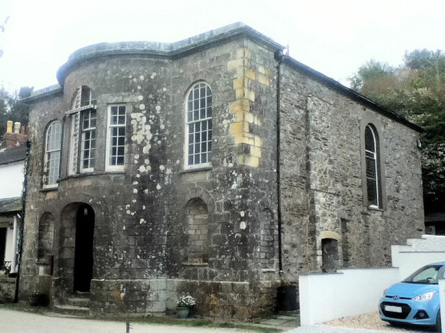
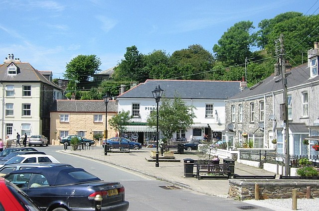
Nansladron Images

Images are sourced within 2km of 50.301371/-4.8000319 or Grid Reference SX0048. Thanks to Geograph Open Source API. All images are credited.

Horse and Stable The prancing horse in his stable.
Horse and Stable
The prancing horse in his stable.
Field and Tree One of the more distant illuminations.
Field and Tree
One of the more distant illuminations.
Woodland Path Prolific bank of Cowslips at Heligan.
Woodland Path
Prolific bank of Cowslips at Heligan.
Beech Tree Dying Beech tree and associated fungi.
Beech Tree
Dying Beech tree and associated fungi.
Stone Stile SX0047a At the bottom of the track from the road at Peruppa.
Cattle stile with two steps each side and two top stones, one above the other.
Public footpath 42/3/1 (gold) from Peruppa to Pentewan.
From Pentewan the path crosses five fields then stile (SX0047b) is crossed into woodland and this stile (SX0047a) is fairly close and takes you onto a farm track which joins the road at Peruppa near a narrow bridge.
Stone Stile SX0047a
At the bottom of the track from the road at Peruppa. Cattle stile with two steps each side and two top stones, one above the other. Public footpath 42/3/1 (gold) from Peruppa to Pentewan. From Pentewan the path crosses five fields then stile (SX0047b) is crossed into woodland and this stile (SX0047a) is fairly close and takes you onto a farm track which joins the road at Peruppa near a narrow bridge.
Stone Stile SX0047b Where path from Peruppa leaves woodland to cross open fields to Pentewan.
Cattle stile with two steps each side and two top stones, one above the other.
Public footpath 42/3/1 gold from Peruppa to Pentewan. Crosses five fields which are usually planted with various crops.
From Pentewan the path crosses five fields then this stile (SX0047b) is crossed into woodland and the next stile (SX0047a) is fairly close and takes you onto a farm track which joins the road at Peruppa near a narrow bridge.
Stone Stile SX0047b
Where path from Peruppa leaves woodland to cross open fields to Pentewan. Cattle stile with two steps each side and two top stones, one above the other. Public footpath 42/3/1 gold from Peruppa to Pentewan. Crosses five fields which are usually planted with various crops. From Pentewan the path crosses five fields then this stile (SX0047b) is crossed into woodland and the next stile (SX0047a) is fairly close and takes you onto a farm track which joins the road at Peruppa near a narrow bridge.
Pasture, Pentewan Valley Cattle and woodland below the footpath between East Towan and Menagwins Farm.
Pasture, Pentewan Valley
Cattle and woodland below the footpath between East Towan and Menagwins Farm.
Pentewan Road (B3273) south of London Apprentice
B3273 near Pentewan
B3273 near Pentewan
Layby on Pentewan Road
London Apprentice, Pentewan Road London Apprentice is a village on the banks of St Austell River in the Pentewan Valley in south Cornwall, approximately two miles (3 km) south of St Austell.
London Apprentice, Pentewan Road
London Apprentice is a village on the banks of St Austell River in the Pentewan Valley in south Cornwall, approximately two miles (3 km) south of St Austell.
Pentewan Sands Holiday Park
B3273 near to Pentewan
Cyclist on the B3273 near to Pentewan
B3273 Pentewan Turn Bus Stop
B3273, Pentewan
B3273, Pentewan
Church of All Saints
Former Wesleyan Chapel
Show me another place!

Nansladron is located at Grid Ref: SX0048 (Lat: 50.301371, Lng: -4.8000319)

Unitary Authority: Cornwall

Police Authority: Devon and Cornwall

What 3 Words

///stepping.duplicate.diplomas. Near Mevagissey, Cornwall

Nearby Locations

Wood Orchard Nansladron

Related Wikis

Levalsa Meor

Levalsa Meor is a hamlet in Cornwall, England, UK. It is half a mile south of London Apprentice and 2.5 miles (4.0 km) south-west from St Austell. It is...

St Austell Rural District

St Austell Rural District was a local government division of Cornwall in England, UK, between 1894 and 1974. Established under the Local Government Act...

Pentewan Valley

Pentewan Valley is one of four new civil parishes created on 1 April 2009 for the St Austell district of mid Cornwall, England, United Kingdom. The population...

Pentewan

Pentewan (Cornish: Bentewyn, meaning foot of the radiant stream) is a coastal village and former port in south Cornwall, England, United Kingdom. It is...

Nearby Amenities

Located within 500m of 50.301371,-4.8000319
Millennium Milepost Pentewan
Description: 1) St Austell 3.25 2) Pentewan 1 3) Mevagissey 3, Heligan Gardens 1.5
Image: https://www.cyclestreets.net/location/194738/cyclestreets194738.jpg
Information: guidepost
Ncn Milepost: rowe
Sustrans Ref: MP 251
Tourism: information
Lat/Long: 50.3021498/-4.7991398
Nansladron
Is In County: Cornwall
Name Kw: Nansladron
Place: hamlet
Source: OS_OpenData_StreetView
Lat/Long: 50.301635/-4.8023131
Addr Housename: Valley Farm
Lat/Long: 50.303177/-4.8008618
Bus Stop
Pentewan Sun Valley Holiday Park
Bus: yes
Long Name: Pentewan, opp Sun Valley Holiday Park
Naptan AdministrativeAreaCode: 73
Naptan AtcoCode: 0800COC31026
Naptan Bearing: S
Naptan BusStopType: CUS
Naptan CommonName: Sun Valley Holiday Park
Naptan Indicator: opp
Naptan LocalityName: Pentewan
Naptan ModificationDate: 2017-01-04
Naptan NaptanCode: cordjapa
Naptan NptgLocalityCode: E0004636
Naptan Verified: no
Public Transport: platform
Lat/Long: 50.3010852/-4.7998653
Bus Stop
Pentewan Sun Valley Holiday Park
Bus: yes
Long Name: Pentewan Sun Valley Holiday Park (N-bound)
Naptan AdministrativeAreaCode: 73
Naptan AtcoCode: 0800COC31027
Naptan Bearing: N
Naptan BusStopType: CUS
Naptan CommonName: Sun Valley Holiday Park
Naptan Indicator: N-bound
Naptan LocalityName: Pentewan
Naptan ModificationDate: 2021-07-07
Naptan NaptanCode: cordjamw
Naptan NptgLocalityCode: E0004636
Naptan Street: B3273
Naptan Verified: no
Public Transport: platform
Lat/Long: 50.3014518/-4.8001617
Post Box
Collection Times: Mo-Fr 09:00, Sa 07:00
Operator: Royal Mail
Operator Wikidata: Q638098
Post Box Mounting: pier
Post Box Type: lamp
Ref: PL26 185D
Royal Cypher: EIIR
Survey Date: 2024-02-24
Lat/Long: 50.3012658/-4.8001113
The data included in this document is from www.openstreetmap.org. The data is made available under ODbL.

Have you been to Nansladron?

Leave your review of Nansladron below (or comments, questions and feedback).