Mullacott Cross

Settlement in Devon North Devon

England

Mullacott Cross

Houses in Trimstone
Houses in Trimstone Credit: Roger Cornfoot

The requested URL returned error: 429 Too Many Requests

If you have any feedback on the listing, please let us know in the comments section below.

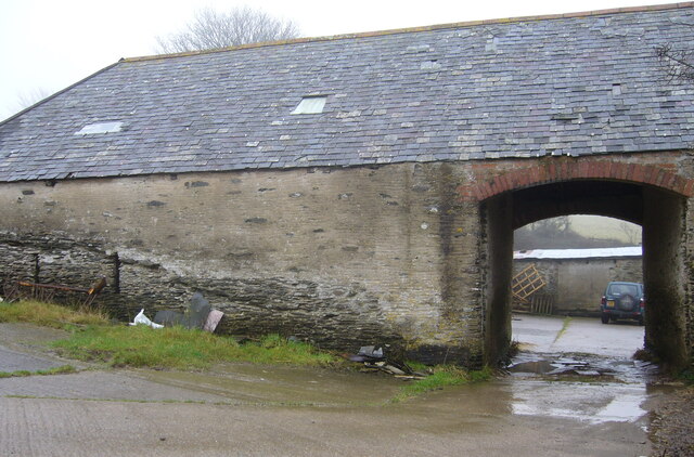
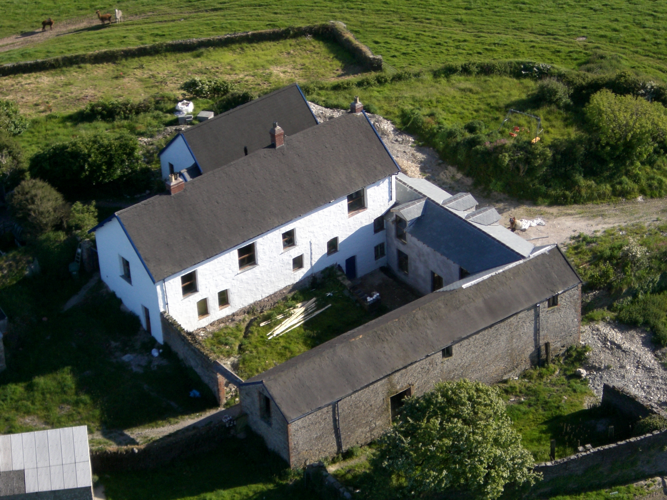
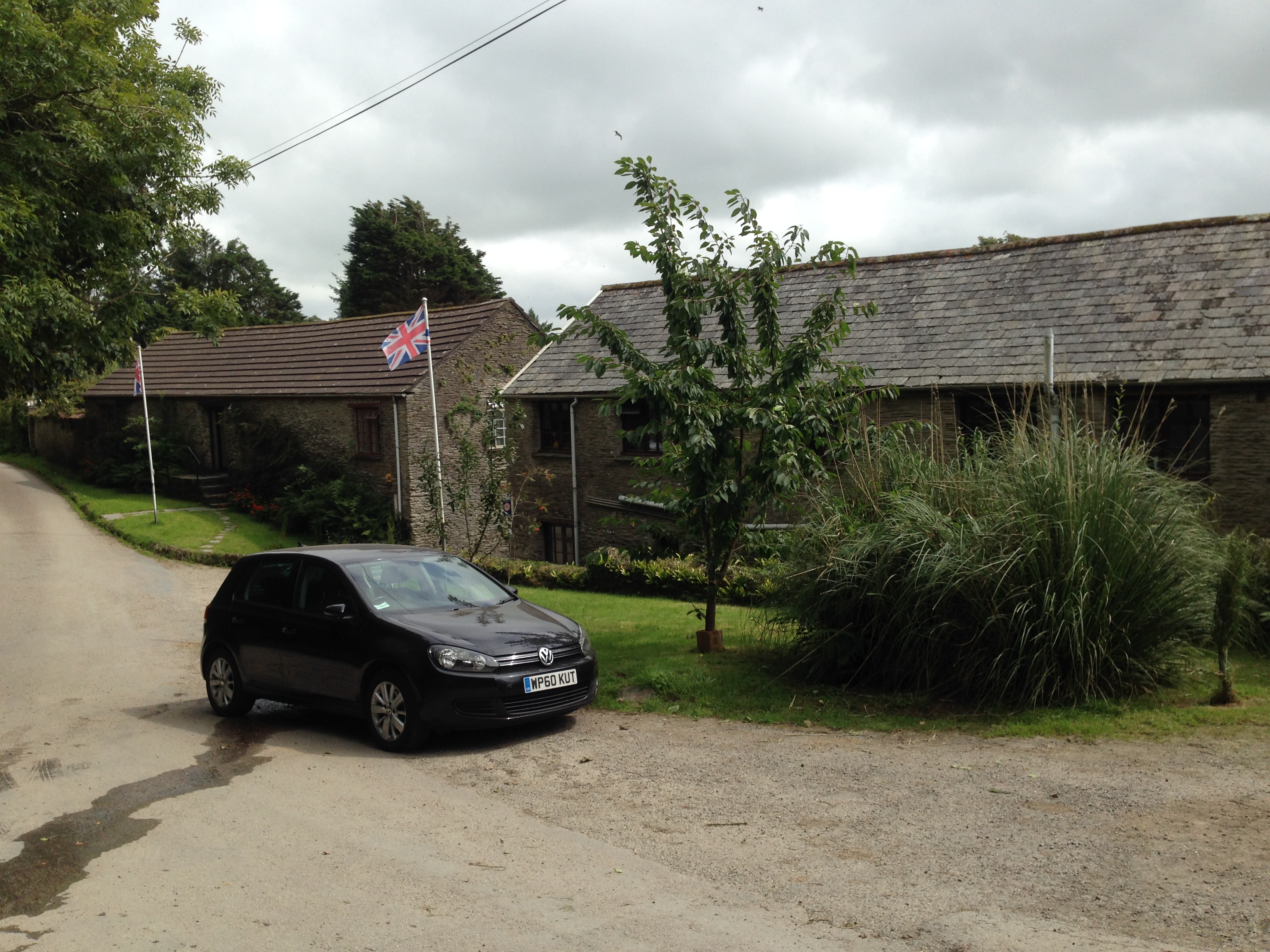
Mullacott Cross Images

Images are sourced within 2km of 51.178407/-4.1233629 or Grid Reference SS5144. Thanks to Geograph Open Source API. All images are credited.

Houses in Trimstone
Houses in Trimstone
Track to the ponds, Trimstone
Ilfracombe : Tarka Trail Looking towards Lee Bridge.
Ilfracombe : Tarka Trail
Looking towards Lee Bridge.
West Down : Track A track in the countryside.
West Down : Track
A track in the countryside.
B3343 between Mullacott Cross and Turnpike Cross This is a local high spot at over 200 metres, and early morning low cloud kept obscuring the view.
B3343 between Mullacott Cross and Turnpike Cross
This is a local high spot at over 200 metres, and early morning low cloud kept obscuring the view.
North Devon : The Tarka Trail The Tarka Trail heading through North Devon.
North Devon : The Tarka Trail
The Tarka Trail heading through North Devon.
North Devon : The Tarka Trail The Tarka Trail heads from here towards Ilfracombe.
North Devon : The Tarka Trail
The Tarka Trail heads from here towards Ilfracombe.
Ilfracombe Honeycleave Farm An exhibition takes place near Ilfracombe.
Ilfracombe Honeycleave Farm
An exhibition takes place near Ilfracombe.
Ilfracombe : Grassy Field A field in the countryside near Ilfracombe.
Ilfracombe : Grassy Field
A field in the countryside near Ilfracombe.
A common snipe in the snow on the road side
A converted chapel in Score Valley Churches, synagogues, mosques, meeting halls and other places in the  North & Mid Devon districts where religious worship has been known to take place regularly.
A converted chapel in Score Valley
Churches, synagogues, mosques, meeting halls and other places in the North & Mid Devon districts where religious worship has been known to take place regularly.
A building on Oakridge Farm Farms and  farm buildings in the geographical area North Devon. (The administrative area governed by North Devon District Council covers a slightly different area.)
A building on Oakridge Farm
Farms and farm buildings in the geographical area North Devon. (The administrative area governed by North Devon District Council covers a slightly different area.)
Lower Twitchen Farm on the A361 Farms and  farm buildings in the geographical area North Devon. (The administrative area governed by North Devon District Council covers a slightly different area.)
Lower Twitchen Farm on the A361
Farms and farm buildings in the geographical area North Devon. (The administrative area governed by North Devon District Council covers a slightly different area.)
Twitchen Organic Farm Farms and  farm buildings in the geographical area North Devon. (The administrative area governed by North Devon District Council covers a slightly different area.)
Twitchen Organic Farm
Farms and farm buildings in the geographical area North Devon. (The administrative area governed by North Devon District Council covers a slightly different area.)
Cheglinch Farm Farms and  farm buildings in the geographical area North Devon. (The administrative area governed by North Devon District Council covers a slightly different area.)
Cheglinch Farm
Farms and farm buildings in the geographical area North Devon. (The administrative area governed by North Devon District Council covers a slightly different area.)
A muck spreader passing Cheglinch Farm Farms and  farm buildings in the geographical area North Devon. (The administrative area governed by North Devon District Council covers a slightly different area.)
A muck spreader passing Cheglinch Farm
Farms and farm buildings in the geographical area North Devon. (The administrative area governed by North Devon District Council covers a slightly different area.)
Green Park Farm on Higher Cheglinch Lane Farms and  farm buildings in the geographical area North Devon. (The administrative area governed by North Devon District Council covers a slightly different area.)
Green Park Farm on Higher Cheglinch Lane
Farms and farm buildings in the geographical area North Devon. (The administrative area governed by North Devon District Council covers a slightly different area.)
Show me another place!

Mullacott Cross is located at Grid Ref: SS5144 (Lat: 51.178407, Lng: -4.1233629)

Administrative County: Devon

District: North Devon

Police Authority: Devon and Cornwall

What 3 Words

///frames.locker.fantastic. Near Ilfracombe, Devon

Nearby Locations

Mullacott Cross

Related Wikis

Mullacott

Mullacott is a small settlement on the A361 road between Ilfracombe and Barnstaple, in Devon, England. It is referred to as 'Mullacott Cross' and forms...

Slade Reservoirs

The Slade Reservoirs are twin reservoirs in the North Devon town of Ilfracombe, England. They are owned by South West Water, and leased to South West Lakes...

Trimstone

Trimstone is a small hamlet and manor in North Devon, England. It is a quiet, agricultural location, which is best known for its Manor house, which dates...

West Down

West Down is a small village and civil parish located in North Devon, England. It is to be found on the route between Braunton and Ilfracombe, 9 miles...

Nearby Amenities

Located within 500m of 51.178407,-4.1233629
Noexit: yes
Lat/Long: 51.1788375/-4.1230375
Generator Source: wind
Power: generator
Lat/Long: 51.1761196/-4.1261164
Generator Source: wind
Power: generator
Lat/Long: 51.1784106/-4.1201826
Redvers Interiors
Addr City: Ilfracombe
Addr Housename: Redvers
Addr Housenumber: 1
Addr Postcode: EX34 8PX
Addr Street: Buzzard Court
Payment Cash: yes
Payment Credit Cards: yes
Phone: +441271 267260
Shop: interior_decoration
Website: http://redversinteriors.com
Lat/Long: 51.1773329/-4.1233348
FatBelly Brewery
Addr City: Ilfracombe
Addr Housename: Unit 8F
Addr Postcode: EX34 8FH
Addr Street: Mullacott Cross Ind Est
Contact Facebook: https://www.facebook.com/FatBellyCapers/
Craft: brewery
Email: info@fatbellybrewery.co.uk
Phone: +44 1598 753496
Source: Bing
Website: https://fatbellybrewery.co.uk//
Lat/Long: 51.1762491/-4.1247245
Combe Brewing Company
Addr City: Ilfracombe
Addr Housename: 4 Lundy View
Addr Postcode: EX34 8PY
Addr Street: Mullacott Cross Ind Est
Contact Facebook: https://www.facebook.com/CombeBrewingCompany/
Craft: brewery
Source: Bing
Website: https://combebrewingcompany.co.uk//
Lat/Long: 51.177111/-4.122079
Generator Method: wind_turbine
Generator Source: wind
Power: generator
Lat/Long: 51.1761479/-4.1224324
The data included in this document is from www.openstreetmap.org. The data is made available under ODbL.

Have you been to Mullacott Cross?

Leave your review of Mullacott Cross below (or comments, questions and feedback).