Mount Pleasant

Settlement in Staffordshire East Staffordshire

England

Mount Pleasant

Uttoxeter Here at the junction of High Street and Market Place is a decorative 19C shop and office building and an old timber-framed building.
Uttoxeter Credit: Humphrey Bolton

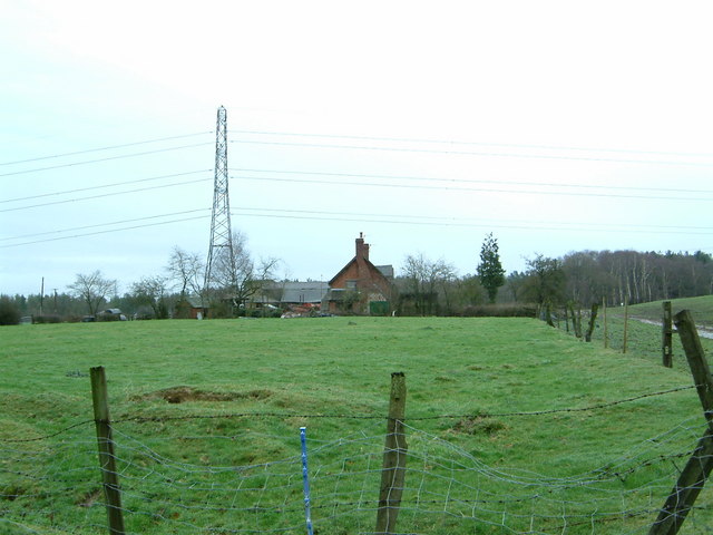
Mount Pleasant is a small village located in the county of Staffordshire, England. Situated in the West Midlands region, it lies approximately 3 miles southeast of the town of Burton upon Trent. The village is nestled amidst picturesque countryside, surrounded by rolling hills and green fields.

The origins of Mount Pleasant can be traced back to the 19th century when it was primarily a farming community. Today, it remains a quiet and peaceful village, with a population of around 500 residents. The village is characterized by a mix of traditional stone cottages and more modern housing developments.

Despite its small size, Mount Pleasant offers a range of amenities and services to its residents. It has a local primary school, providing education to the younger population of the village. There is also a village hall that serves as a meeting place for various community events and activities.

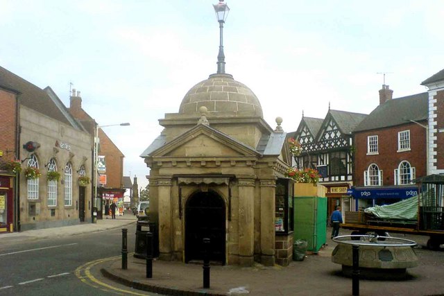
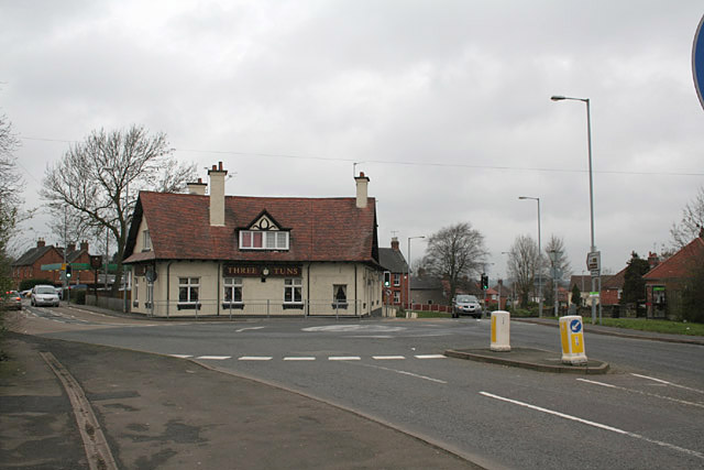
The village boasts several public houses, where locals and visitors can enjoy a pint of beer or a hearty meal. Additionally, Mount Pleasant benefits from its close proximity to Burton upon Trent, which offers a wider range of shops, supermarkets, and leisure facilities.

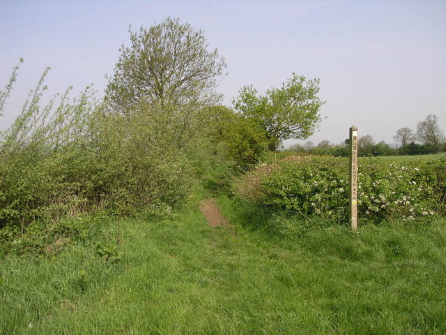
Nature lovers are drawn to Mount Pleasant due to its scenic surroundings. The village is an ideal base for exploring the nearby countryside, with various walking and cycling routes available. The nearby National Forest also provides opportunities for outdoor activities such as hiking, wildlife spotting, and picnicking.

Overall, Mount Pleasant is a charming village that offers a peaceful and idyllic countryside lifestyle, while still being within reach of necessary amenities and neighboring towns.

If you have any feedback on the listing, please let us know in the comments section below.

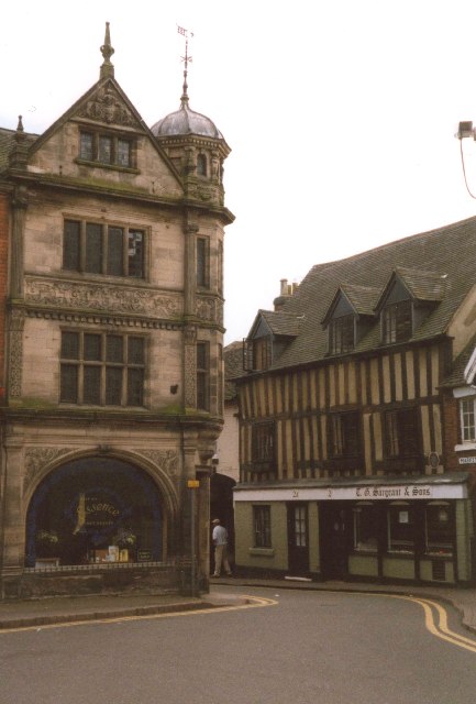
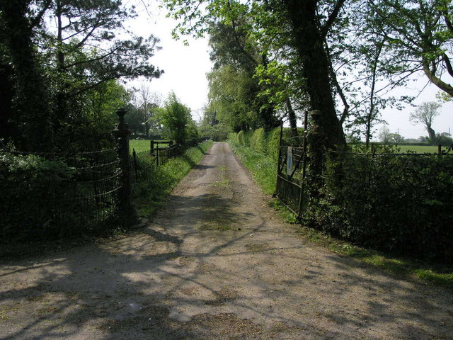
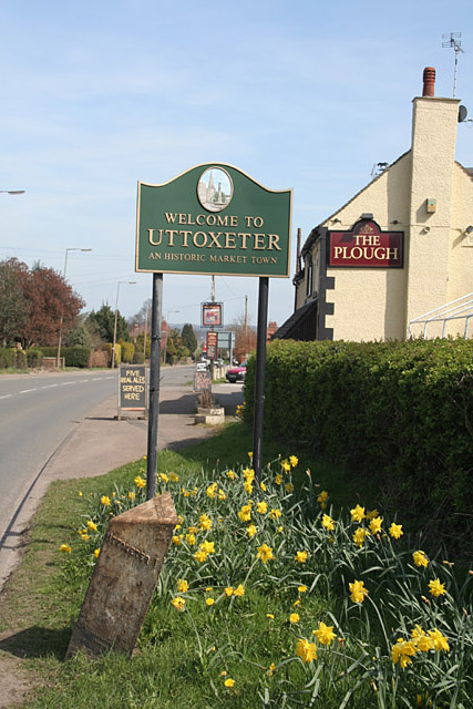
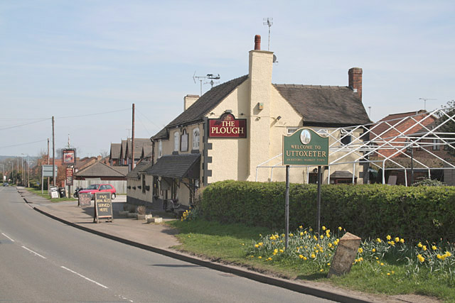
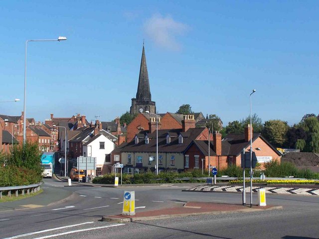
Mount Pleasant Images

Images are sourced within 2km of 52.898009/-1.8702579 or Grid Reference SK0833. Thanks to Geograph Open Source API. All images are credited.

Uttoxeter Here at the junction of High Street and Market Place is a decorative 19C shop and office building and an old timber-framed building.
Uttoxeter
Here at the junction of High Street and Market Place is a decorative 19C shop and office building and an old timber-framed building.
Uttoxeter railway station The race course at Uttoxeter can be seen through this shelter on the railway platform.
Uttoxeter railway station
The race course at Uttoxeter can be seen through this shelter on the railway platform.
Site of UK's first Automatic Half Barrier level crossing, Spath, Staffordshire The minor road in the centre of the picture is the site of the UK's first Automatic Half Barrier level crossing. Nothing remains of the crossing except for a few concrete barrier foundations.
Site of UK's first Automatic Half Barrier level crossing, Spath, Staffordshire
The minor road in the centre of the picture is the site of the UK's first Automatic Half Barrier level crossing. Nothing remains of the crossing except for a few concrete barrier foundations.
Site of UK's first Automatic Half Barrier level crossing, Spath, Staffordshire Looking southwest, taken from the point where the railway used to cross this minor road, the crossing being the first in the UK to be converted to Automatic Half Barrier operation in 1961. Practically no trace of the crossing remains apart from a few concrete foundations for the east side barrier
Site of UK's first Automatic Half Barrier level crossing, Spath, Staffordshire
Looking southwest, taken from the point where the railway used to cross this minor road, the crossing being the first in the UK to be converted to Automatic Half Barrier operation in 1961. Practically no trace of the crossing remains apart from a few concrete foundations for the east side barrier
Farm buildings near Uttoxeter Taken from the A50 overbridge with the Riven Tean in the background.
Farm buildings near Uttoxeter
Taken from the A50 overbridge with the Riven Tean in the background.
Fox's biscuit factory, Uttoxeter, Staffs. Second largest factory in the town after the JCB parts centre. But this ones smells sweeter (shortbread on the day I took the photo)
Fox's biscuit factory, Uttoxeter, Staffs.
Second largest factory in the town after the JCB parts centre. But this ones smells sweeter (shortbread on the day I took the photo)
Cottage Farm, Spath Looking west down the lane leading to Cottage Farm.
Cottage Farm, Spath
Looking west down the lane leading to Cottage Farm.
Welcome to Uttoxeter Next to the entrance to Park Fields this sign welcomes visitors to Uttoxeter approaching on the B5027 from Bramshall to An Historic Market Town.
Welcome to Uttoxeter
Next to the entrance to Park Fields this sign welcomes visitors to Uttoxeter approaching on the B5027 from Bramshall to An Historic Market Town.
Grand Farm Entrance This iron fence and gate are found at the end of a track to what appears to be a farm.
Grand Farm Entrance
This iron fence and gate are found at the end of a track to what appears to be a farm.
Staffordshire Way This long distance footpath is, at this point, just short of Uttoxeter.
Staffordshire Way
This long distance footpath is, at this point, just short of Uttoxeter.
Field Head farm Uttoxeter The Staffordshire Way walk runs right through the yard of a friendly farmer.
Field Head farm Uttoxeter
The Staffordshire Way walk runs right through the yard of a friendly farmer.
Uttoxeter Uttoxeter market place
Uttoxeter
Uttoxeter market place
Three Tuns Ashbourne Road, Uttoxeter
Three Tuns
Ashbourne Road, Uttoxeter
Excavators on Parade JCB excavators await buyers in a yard in Uttoxeter.
Excavators on Parade
JCB excavators await buyers in a yard in Uttoxeter.
Blount's Green, Uttoxeter These pillars look as if they once formed an animal pound, and form a less than inviting surround to the seat for anyone wishing to brave the traffic at this junction!
Blount's Green, Uttoxeter
These pillars look as if they once formed an animal pound, and form a less than inviting surround to the seat for anyone wishing to brave the traffic at this junction!
Welcome to Uttoxeter The Plough at Blounts Green, with town sign, daffodils and a rather neglected cast iron milestone.
Welcome to Uttoxeter
The Plough at Blounts Green, with town sign, daffodils and a rather neglected cast iron milestone.
Welcome to Uttoxeter The Plough at Blounts Green, with town sign, daffodils and a rather neglected cast iron milestone.
Welcome to Uttoxeter
The Plough at Blounts Green, with town sign, daffodils and a rather neglected cast iron milestone.
Road Into Uttoxeter Bridge Street is the road leading to the church.
Road Into Uttoxeter
Bridge Street is the road leading to the church.
Show me another place!

Mount Pleasant is located at Grid Ref: SK0833 (Lat: 52.898009, Lng: -1.8702579)

Administrative County: Staffordshire

District: East Staffordshire

Police Authority: Staffordshire

What 3 Words

///splashes.carpentry.lectured. Near Uttoxeter, Staffordshire
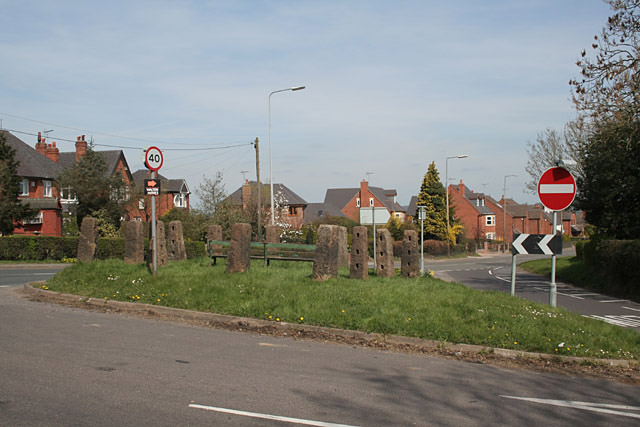
Nearby Locations

Uttoxeter Mount Pleasant

Related Wikis

Oldfields Ground

Oldfields Ground is a cricket ground in Uttoxeter, Staffordshire. The first recorded match on the ground was in 1905, when Staffordshire played Bedfordshire...
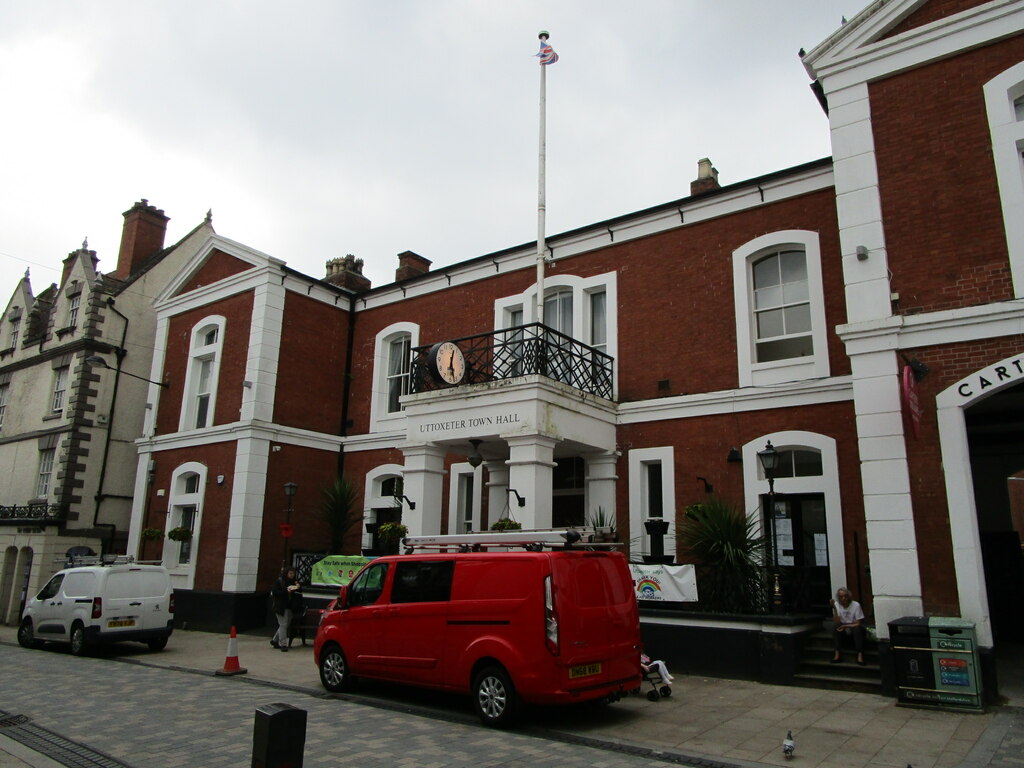
Uttoxeter Town Hall

Uttoxeter Town Hall is a municipal building in the High Street, Uttoxeter, Staffordshire, England. The structure, which serves as the meeting place of...

Uttoxeter Town F.C.

Uttoxeter Town F.C. is an English football club based in Uttoxeter, Staffordshire. They currently play in the North West Counties League Division One...

St Mary's Catholic Church, Uttoxeter

St Mary's Catholic Church is a Roman Catholic church in Uttoxeter, Staffordshire, United Kingdom. It opened in 1839; to avoid confusion with the other...

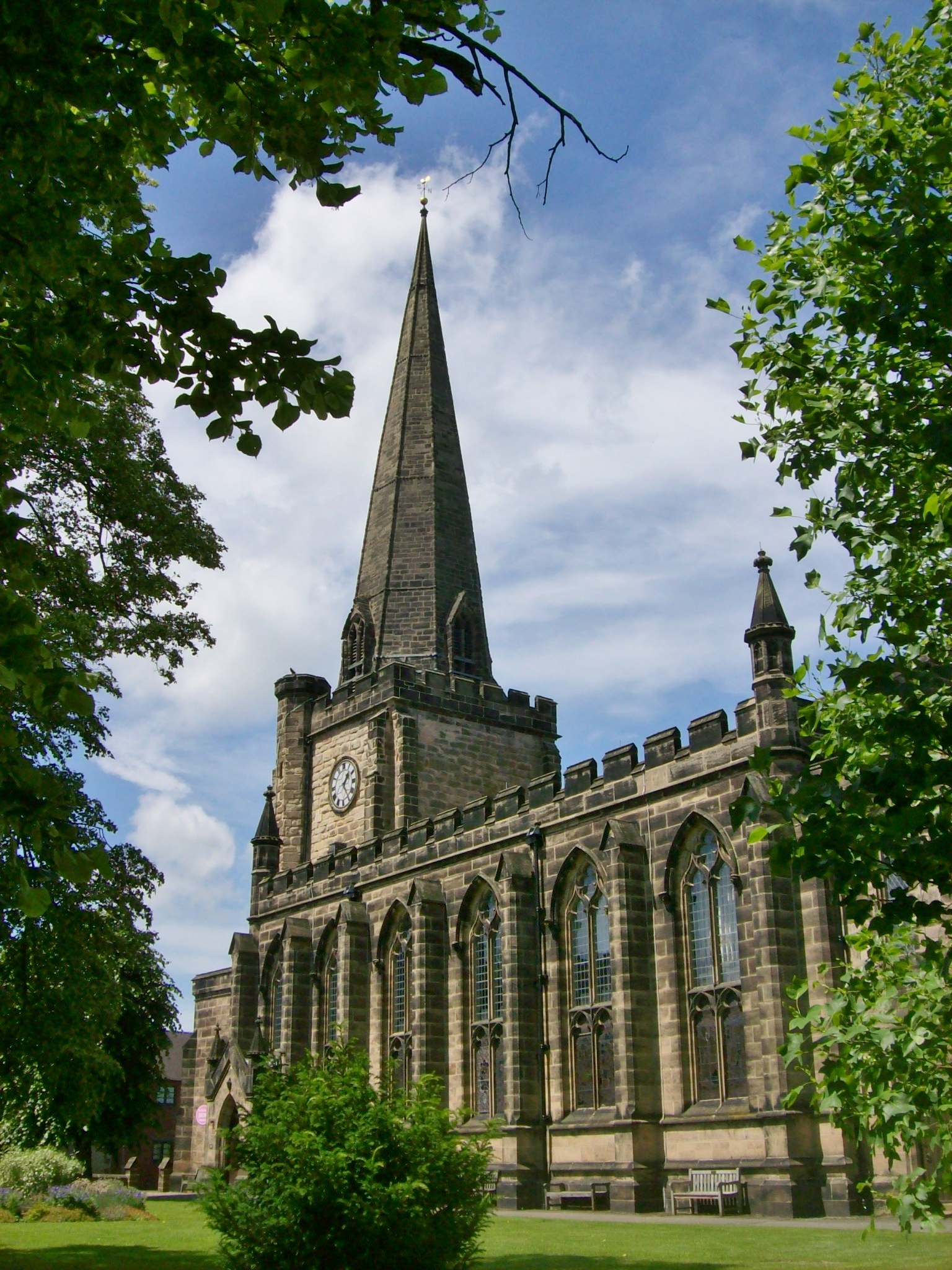
St Mary the Virgin Church, Uttoxeter

St Mary the Virgin's Church, Uttoxeter, commonly called simply St Mary's, is the parish church of the town of Uttoxeter, Staffordshire, England. Its tower...

Thomas Alleyne's High School

Thomas Alleyne's High School (TAHS) is a coeducational upper school and sixth form located in Uttoxeter, Staffordshire, England. It is one of three schools...

Uttoxeter

Uttoxeter ( yoo-TOK-sit-ər, locally also UUTCH-it-ər) is a market town and civil parish in the East Staffordshire borough of Staffordshire, England....

The Heath, Staffordshire

The Heath is a village in the East Staffordshire borough of Staffordshire, England. It is close to the border with Derbyshire. The village adjoins the...

Nearby Amenities

Located within 500m of 52.898009,-1.8702579
Uttoxeter
Place: town
Wikidata: Q2086137
Wikipedia: en:Uttoxeter
Lat/Long: 52.8980321/-1.8649214
Mini Roundabout
Direction: clockwise
Lat/Long: 52.9001751/-1.8658709
Crossing
Crossing: uncontrolled
Crossing Ref: zebra
Lat/Long: 52.8999738/-1.8661065
Toilets
Lat/Long: 52.8971247/-1.8631686
Recycling
Lat/Long: 52.8971659/-1.8629899
Pub
The Vaults of Uttoxeter
Lat/Long: 52.8982881/-1.8634468
Barrier: bollard
Bicycle: yes
Bollard: removable
Foot: yes
Material: metal
Lat/Long: 52.898511/-1.8645323
Townhall
Uttoxeter Town Hall
Lat/Long: 52.8991921/-1.8657068
Bus Station
Uttoxeter Bus Station
Bus: yes
Public Transport: station
Lat/Long: 52.9002812/-1.8644451
Toilets
Changing Table: yes
Female: yes
Male: yes
Wheelchair: yes
Lat/Long: 52.9001798/-1.8651175
Library
Uttoxeter Library
Addr City: Uttoxeter
Addr Housename: Red Gables
Addr Housenumber: 57
Addr Postcode: ST14 7JQ
Addr Street: High Street
Old Fhrs Id: 1248279
Website: https://www.staffordshire.gov.uk/Libraries/branchlibraries/UttoxeterLibrary/UttoxeterLibrary.aspx
Lat/Long: 52.9006158/-1.8663722
Post Office
Uttoxeter Post Office
Brand: Post Office
Brand Wikidata: Q1783168
Check Date: 2023-09-27
Ref Pol Id: 6006
Lat/Long: 52.8980893/-1.8660313
The White Hart Hotel
Addr City: Uttoxeter
Addr Postcode: ST14 8EU
Addr Street: Carter Street
Contact Facebook: https://www.facebook.com/whiteharthoteluttoxeter/
Fhrs Id: 1247885
Tourism: hotel
Website: https://whitehartuk.com/
Lat/Long: 52.8981878/-1.8664465
Pub
Black Swan
Addr City: Uttoxeter
Addr Postcode: ST14 8JA
Addr Street: Market Street
Fhrs Id: 1248562
Lat/Long: 52.8975529/-1.8644435
Pub
Old Star
Addr City: Uttoxeter
Addr Postcode: ST14 8HJ
Addr Street: Queen Street
Fhrs Id: 1247694
Lat/Long: 52.8976422/-1.8641563
Pub
The Old Swan
Addr City: Uttoxeter
Addr Housenumber: 5
Addr Postcode: ST14 8HN
Addr Street: Market Place
Brand: Wetherspoon
Brand Wikidata: Q6109362
Fhrs Id: 1247565
Website: https://www.jdwetherspoon.com/pubs/all-pubs/england/staffordshire/the-old-swan-uttoxeter
Lat/Long: 52.897868/-1.8634294
Restaurant
Heart of Siam
Addr City: Uttoxeter
Addr Housename: Town House
Addr Housenumber: 11-17
Addr Postcode: ST14 8HJ
Addr Street: Queen Street
Fhrs Id: 1697165
Old Name: Bamboo Lounge
Lat/Long: 52.897629/-1.8633554
Post Box
Post Box Type: pillar
Royal Cypher: EIIR
Royal Cypher Wikidata: Q33102113
Lat/Long: 52.8980807/-1.8630115
Post Box
Ref: ST14 1403
Lat/Long: 52.8980658/-1.8662007
Bus Stop
Oldfields Hall School
Bus: yes
Naptan AtcoCode: 3800C390100
Naptan Bearing: W
Naptan CommonName: Oldfields Hall School
Naptan Indicator: Adj
Naptan Landmark: Oldfields Hall Sch
Naptan Street: Stone Road
Naptan Verified: no
Public Transport: platform
Source: naptan_import
Lat/Long: 52.8992012/-1.8755175
Railway: level_crossing
Lat/Long: 52.8948131/-1.870656
Mount Pleasant
Is In: Uttoxeter
Place: suburb
Lat/Long: 52.8980764/-1.8736361
Barrier: lift_gate
Lat/Long: 52.9001873/-1.8703714
Crossing
Lat/Long: 52.8973301/-1.8697817
Mini Roundabout
Lat/Long: 52.8973017/-1.8641346
Crossing
Crossing: uncontrolled
Crossing Markings: yes
Lat/Long: 52.8993351/-1.8715518
Access: permissive
Barrier: lift_gate
Bicycle: yes
Foot: yes
Lat/Long: 52.8988488/-1.8673817
Crossing
Lat/Long: 52.8940177/-1.8709615
Crossing
Crossing: traffic_signals
Lat/Long: 52.8939345/-1.8709114
Mini Roundabout
Direction: clockwise
Lat/Long: 52.8997732/-1.867539
Crossing
Crossing: traffic_signals
Lat/Long: 52.8996566/-1.876958
Uttoxeter War Memorial
Historic: memorial
Lat/Long: 52.8982084/-1.8629652
Automatic: yes
Barrier: bollard
Bicycle: yes
Foot: yes
Lat/Long: 52.8999946/-1.8658552
Bank
Barclays
Atm: yes
Brand: Barclays
Brand Wikidata: Q245343
Brand Wikipedia: en:Barclays
Fee: no
Opening Hours: Mo-Fr 09:30-16:30
Operator: Barclays Bank PLC
Lat/Long: 52.8989567/-1.8654165
Crossing
Crossing: uncontrolled
Crossing Ref: zebra
Lat/Long: 52.9002309/-1.865544
Crossing
Crossing: uncontrolled
Crossing Ref: zebra
Lat/Long: 52.9003149/-1.8659354
Cafe
Stop N Snack
Lat/Long: 52.9004035/-1.8653827
Railway: level_crossing
Lat/Long: 52.8948424/-1.8706137
Frank Innes Lettings
Addr City: Uttoxeter
Addr Housenumber: 3
Addr Postcode: ST14 7FN
Addr Street: Carters Square
Office: estate_agent
Phone: +44 1889260021
Website: https://www.frankinnes.co.uk/toletoffice/uttoxeter/2052
Lat/Long: 52.899308/-1.866332
Asda
Addr City: Uttoxeter
Addr Country: GB
Addr Housename: Carter Square
Addr Postcode: ST14 7FN
Addr Street: Carter Street
Addr Unit: 1
Alt Name: Asda Uttoxeter Supermarket
Brand: Asda
Brand Wikidata: Q297410
Brand Wikipedia: en:Asda
Contact Facebook: https://www.facebook.com/asda/
Contact Twitter: asda
Contact Website: https://storelocator.asda.com/west-midlands/uttoxeter/carter-square-unit-1-carter-street
Fhrs Id: 1247960
Not Addr Postcode: ST14 7LG
Operator: Asda Stores Ltd
Shop: supermarket
Lat/Long: 52.8992368/-1.8670363
Agri & Garden
Shop: garden_centre
Lat/Long: 52.8983138/-1.8661213
Cafe
Costa
Addr City: Uttoxeter
Addr Housenumber: 5
Addr Postcode: ST14 7FN
Addr Street: Carters Square
Brand: Costa
Brand Wikidata: Q608845
Brand Wikipedia: en:Costa Coffee
Cuisine: coffee_shop
Fhrs Id: 1248157
Takeaway: yes
Lat/Long: 52.8990931/-1.8662612
Crossing
Crossing: uncontrolled
Crossing Markings: yes
Lat/Long: 52.8983061/-1.8653593
Cycle Centre
Shop: bicycle
Lat/Long: 52.900404/-1.8658606
Bank
Lloyds Bank
Addr Country: GB
Atm: yes
Brand: Lloyds Bank
Brand Wikidata: Q1152847
Brand Wikipedia: en:Lloyds Bank
Contact Website: https://branches.lloydsbank.com/uttoxeter/7-carter-street
Lat/Long: 52.8981974/-1.8655503
Railway: crossing
Lat/Long: 52.8952584/-1.8645369
Railway: crossing
Lat/Long: 52.8952871/-1.864564
Bicycle Parking
Lat/Long: 52.899525/-1.8674838
Cafe
Liaisons
Addr City: Uttoxeter
Addr Housename: Lion Buildings
Addr Housenumber: 8
Addr Postcode: ST14 8HP
Addr Street: Market Place
Old Fhrs Id: 801673
Lat/Long: 52.8983658/-1.863443
Pharmacy
Healthcare: pharmacy
Lat/Long: 52.8969711/-1.8635921
Leisure: picnic_table
Lat/Long: 52.8960761/-1.8703409
Man Made: tower
Tower Type: communication
Lat/Long: 52.9002789/-1.8669889
Atm
Barclays
Brand: Barclays
Brand Wikidata: Q245343
Brand Wikipedia: en:Barclays
Operator: Barclays
Operator Wikidata: Q245343
Lat/Long: 52.8992544/-1.867362
Amelia Ross
Shop: clothes
Lat/Long: 52.8988903/-1.8653683
Bagshaws Residential
Brand: Bagshaws Residential
Brand Wikidata: Q81859084
Office: estate_agent
Lat/Long: 52.8990529/-1.8654672
Cafe
Bear Coffee Co.
Addr City: Uttoxeter
Addr Housenumber: 33
Addr Postcode: ST14 7HN
Addr Street: High Street
Fhrs Id: 1248463
Lat/Long: 52.8997751/-1.8658429
Bed & Bedrooms
Shop: bed
Lat/Long: 52.897754/-1.8640861
Betfred
Addr City: Uttoxeter
Addr Housenumber: 1
Addr Postcode: ST14 7HN
Addr Street: High Street
Brand: Betfred
Brand Wikidata: Q4897425
Brand Wikipedia: en:Betfred
Not Brand Wikidata: Q63001935
Old Fhrs Id: 387819
Shop: bookmaker
Lat/Long: 52.89853/-1.8650668
Birds
Addr City: Uttoxeter
Addr Housenumber: 14
Addr Postcode: ST14 7HT
Addr Street: High Street
Brand: Birds
Brand Wikidata: Q63001935
Brand Wikipedia: en:Birds Bakery
Fhrs Id: 1248439
Official Name: Birds Bakery
Shop: bakery
Lat/Long: 52.8988425/-1.8651296
Pub
Black Dog Jazz Cafe
Lat/Long: 52.8978325/-1.8672895
Pharmacy
Boots
Brand: Boots
Brand Wikidata: Q6123139
Brand Wikipedia: en:Boots (company)
Healthcare: pharmacy
Website: https://www.boots.com/stores/169-uttoxeter-high-street-st14-7ht
Lat/Long: 52.8986064/-1.8649149
Boots Opticians & Hearingcare
Brand: Boots Opticians
Brand Wikidata: Q4944037
Shop: optician
Short Name: Boots
Lat/Long: 52.8986884/-1.8649964
British Heart Foundation
Brand: British Heart Foundation
Brand Wikidata: Q4970039
Brand Wikipedia: en:British Heart Foundation
Shop: charity
Website: https://www.bhf.org.uk/what-we-do/find-bhf-near-you/uttoxeter-bhf-shop
Lat/Long: 52.8990254/-1.865254
Card Factory
Brand: Card Factory
Brand Wikidata: Q5038192
Brand Wikipedia: en:Card Factory
Shop: gift
Lat/Long: 52.8984575/-1.865076
Fast Food
Cod's Corner
Addr City: Uttoxeter
Addr Housenumber: 44
Addr Postcode: ST14 7HT
Addr Street: High Street
Cuisine: fish_and_chips
Fhrs Id: 1295699
Old Fhrs Id: 1248315
Lat/Long: 52.8997749/-1.8656245
Bar
The Post
Addr City: Uttoxeter
Addr Housenumber: 3A
Addr Postcode: ST14 7HN
Addr Street: High Street
Fhrs Id: 1248449
Lat/Long: 52.8986206/-1.8651442
Daisy Chain
Shop: interior_decoration
Lat/Long: 52.8983883/-1.8654428
Restaurant
Divine
Addr City: Uttoxeter
Addr Housenumber: 25
Addr Postcode: ST14 8HL
Addr Street: Market Place
Fhrs Id: 1247539
Lat/Long: 52.8977281/-1.8641692
Fast Food
Domino's
Addr City: Uttoxeter
Addr Country: GB
Addr Housenumber: 8
Addr Postcode: ST14 8HP
Addr Street: Market Place
Brand: Domino's
Brand Wikidata: Q839466
Brand Wikipedia: en:Domino's Pizza
Contact Website: https://www.dominos.co.uk/pizza-near-me/uttoxeter/g2-g5-lion-building
Cuisine: pizza
Fhrs Id: 1247514
Takeaway: yes
Lat/Long: 52.8982908/-1.8631889
Dove Funeral Services
Shop: funeral_directors
Lat/Long: 52.8982459/-1.8652725
Emilie Duclos
Shop: florist
Lat/Long: 52.8986391/-1.8643538
Emma's
Shop: interior_decoration
Lat/Long: 52.8983115/-1.8657258
Friary Shoes
Shop: shoes
Lat/Long: 52.8987843/-1.8650826
Funeral Service
Shop: funeral_directors
Lat/Long: 52.8993158/-1.8653667
Gardner
Shop: hairdresser
Lat/Long: 52.897707/-1.8642631
Fast Food
Greggs
Addr City: Uttoxeter
Addr Housenumber: 10-12
Addr Postcode: ST14 7HT
Addr Street: High Street
Brand: Greggs
Brand Wikidata: Q3403981
Brand Wikipedia: en:Greggs
Contact Website: https://www.greggs.co.uk/shop-finder?shop-code=1499
Cuisine: sandwich;bakery
Fhrs Id: 1248094
Takeaway: yes
Lat/Long: 52.8987435/-1.8650427
HC Group
Shop: hairdresser
Lat/Long: 52.898235/-1.8634183
Fast Food
Indiana Kebab and Pizza
Addr City: Uttoxeter
Addr Housenumber: 12
Addr Postcode: ST14 8EU
Addr Street: Carter Street
Cuisine: pizza;kebab
Fhrs Id: 1247515
Lat/Long: 52.8983325/-1.8655836
Little Mansions
Office: estate_agent
Lat/Long: 52.8982528/-1.8633311
Check Date: 2016-07-17
Disused Shop: clothes
Old Name: M&Co
Lat/Long: 52.8991775/-1.8653479
Fast Food
Ruby
Addr City: Uttoxeter
Addr Housenumber: 46
Addr Postcode: ST14 7HT
Addr Street: High Street
Cuisine: asian
Fhrs Id: 1248442
Lat/Long: 52.8998404/-1.8656605
Savers
Addr City: Uttoxeter
Addr Housenumber: 32-34
Addr Postcode: ST14 7HT
Addr Street: High Street
Addr Unit: 1
Brand: Savers
Brand Wikidata: Q7428189
Brand Wikipedia: en:Savers (UK retailer)
Fhrs Id: 1248477
Official Name: Savers Health & Beauty
Shop: chemist
Lat/Long: 52.8992649/-1.8653358
Khanfone Warehouse
Shop: mobile_phone
Lat/Long: 52.898732/-1.8652423
Scope
Brand: Scope
Brand Wikidata: Q7434435
Brand Wikipedia: en:Scope (charity)
Shop: charity
Lat/Long: 52.8990925/-1.8652929
Specsavers Audiologists
Shop: hearing_aids
Lat/Long: 52.8986774/-1.8651977
Specsavers
Branch: Opticians
Brand: Specsavers
Brand Wikidata: Q2000610
Brand Wikipedia: en:Specsavers
Contact Website: https://www.specsavers.co.uk/stores/uttoxeter
Shop: optician
Lat/Long: 52.8985785/-1.8651137
Spires Hairdressing
Shop: hairdresser
Lat/Long: 52.8981955/-1.86476
St John's Ambulance
Ambulance Station
Emergency: ambulance_station
Lat/Long: 52.8978342/-1.8665117
The Pastel Room
Shop: clothes
Lat/Long: 52.8998026/-1.8658603
The Photo Expert
Shop: photo
Lat/Long: 52.8993992/-1.8653908
The Salvation Army
Brand: The Salvation Army
Brand Wikidata: Q188307
Brand Wikipedia: en:The Salvation Army
Shop: charity
Lat/Long: 52.8996778/-1.8658001
Pub
The Smithfield Hotel
Addr City: Uttoxeter
Addr County: Staffordshire
Addr Housenumber: 37
Addr Postcode: ST14 7HN
Addr Street: High Street
Email: smithfieldhotel.uttoxeter@phoenixpub.co.uk
Fhrs Id: 1647146
Old Fhrs Id: 1247863
Phone: +44 1889 358334
Source Addr: FHRS Open Data
Website: https://www.smithfieldhoteluttoxeter.co.uk/
Lat/Long: 52.8998733/-1.8659757
TUI
Brand: TUI
Brand Wikidata: Q7795876
Brand Wikipedia: en:Thomson Travel Group
Shop: travel_agency
Lat/Long: 52.8996099/-1.8657472
Uttoxeter Shop
Shop: gift
Lat/Long: 52.8983124/-1.8645925
Vintage Tea Emporium
Shop: houseware
Lat/Long: 52.8982913/-1.8645281
WHSmith
Brand: WHSmith
Brand Wikidata: Q1548712
Brand Wikipedia: en:WHSmith
Shop: books
Lat/Long: 52.8989469/-1.8652007
Disused Shop: variety_store
Lat/Long: 52.8994008/-1.8657304
Willisfords
Shop: jewelry
Lat/Long: 52.8983883/-1.8653248
YMCA
Brand: YMCA
Brand Wikidata: Q157169
Brand Wikipedia: en:YMCA
Shop: charity
Lat/Long: 52.8985247/-1.864854
The Co-operative Travel
Brand: Your Coop Travel
Brand Wikidata: Q7726526
Operator: Midcounties Co-operative
Operator Wikidata: Q6841138
Shop: travel_agency
Website: https://www.cooptravel.co.uk/contact/branches-experts/uttoxeter/
Lat/Long: 52.8994315/-1.8654109
instore
Shop: furniture
Lat/Long: 52.8997322/-1.8658254
Lifestyle Express
Brand: Lifestyle Express
Brand Wikidata: Q61994869
Shop: convenience
Lat/Long: 52.8977395/-1.867425
Telephone
Booth: KX100
Covered: booth
Operator: BT
Lat/Long: 52.8995953/-1.8655567
Shop: clothes
Lat/Long: 52.8996187/-1.8655056
Uttoxeter in Bloom Flower Display
Lat/Long: 52.8938044/-1.8717099
Doctors
Northgate Surgery
Healthcare: doctor
Operator: National Health Service
Lat/Long: 52.8990243/-1.8668496
Restaurant
Kohi Noor
Addr City: Uttoxeter
Addr Housenumber: 11
Addr Postcode: ST14 8HJ
Addr Street: Queen Street
Cuisine: indian
Old Fhrs Id: 1247954
Lat/Long: 52.8975528/-1.8634695
Bus Stop
Uttoxeter Bus Station (Stand 4)
Bus: yes
Local Ref: 4
Public Transport: platform
Lat/Long: 52.900209/-1.8642855
Bus Stop
Uttoxeter Bus Station (Stand 3)
Bus: yes
Local Ref: 3
Public Transport: platform
Lat/Long: 52.9001767/-1.8645
Bus Stop
Uttoxeter Bus Station (Stand 2)
Bus: yes
Local Ref: 2
Public Transport: platform
Lat/Long: 52.9001564/-1.8647368
Bus Stop
Uttoxeter Bus Station (Stand 1)
Bus: yes
Local Ref: 1
Public Transport: platform
Lat/Long: 52.9001993/-1.8649372
Bus Stop
Uttoxeter Bus Station
Bus: yes
Public Transport: platform
Lat/Long: 52.9002373/-1.8638476
Bus Stop
Post Office
Bus: yes
Naptan AtcoCode: 3800C314401
Naptan NaptanCode: stadatpj
Public Transport: platform
Lat/Long: 52.8981955/-1.8660396
Bus Stop
Smithfield Road
Bus: yes
Public Transport: platform
Lat/Long: 52.8991663/-1.8713839
Bus Stop
Wellington Inn
Bus: yes
Public Transport: platform
Lat/Long: 52.9014936/-1.8660437
Bus Stop
Wellington Inn
Bus: yes
Naptan AtcoCode: 3800C347202
Naptan NaptanCode: stadjatd
Public Transport: platform
Lat/Long: 52.9013949/-1.8661456
Barrier: lift_gate
Lat/Long: 52.8947662/-1.8707295
Barrier: lift_gate
Lat/Long: 52.8949149/-1.8705043
Bicycle Parking
Bicycle Parking: stands
Capacity: 3
Covered: no
Lat/Long: 52.8997676/-1.8638282
Bench
Lat/Long: 52.8981208/-1.8759434
Bench
Lat/Long: 52.8984676/-1.8762861
Street Lamp
Lat/Long: 52.898992/-1.8762016
Street Lamp
Lat/Long: 52.8990731/-1.8766954
Railway: buffer_stop
Lat/Long: 52.8947248/-1.8703029
Railway: buffer_stop
Lat/Long: 52.8951227/-1.8649035
Barrier: kissing_gate
Lat/Long: 52.899194/-1.8745345
Bar
Horse and Dove
Addr City: Uttoxeter
Addr Housenumber: 21
Addr Postcode: ST14 8HY
Addr Street: Market Street
Fhrs Id: 1248004
Lat/Long: 52.8979208/-1.8640918
John German
Office: estate_agent
Lat/Long: 52.8980755/-1.8633189
Charles Martin
Craft: watchmaker
Lat/Long: 52.8980339/-1.8635595
Bar
Darwen and Bear
Addr City: Uttoxeter
Addr Housenumber: 32-34
Addr Postcode: ST14 8HP
Addr Street: Market Place
Fhrs Id: 1295678
Lat/Long: 52.8982475/-1.8642094
Bank
NatWest
Brand: NatWest
Brand Wikidata: Q2740021
Brand Wikipedia: en:NatWest
Website: https://www.natwest.com/search-results/locator/branch.html?sortcode=602209&name=Uttoxeter
Lat/Long: 52.8982283/-1.8640606
Fast Food
Grillways
Addr City: Uttoxeter
Addr Housenumber: 24
Addr Postcode: ST14 8HP
Addr Street: Market Place
Fhrs Id: 1664385
Source Addr: FHRS Open Data
Lat/Long: 52.8982238/-1.8639182
Restaurant
Ivory Cafe
Addr City: Uttoxeter
Addr Housenumber: 18
Addr Postcode: ST14 8HP
Addr Street: Market Place
Cuisine: bangladeshi
Fhrs Id: 1623551
Source Addr: FHRS Open Data
Lat/Long: 52.8982461/-1.8636866
Entrance: emergency
Lat/Long: 52.9015045/-1.866652
Entrance: yes
Lat/Long: 52.9015129/-1.8665772
Entrance: main
Lat/Long: 52.9014239/-1.8663673
Waste Basket
Lat/Long: 52.899548/-1.8768356
Home Bargains
Addr City: Uttoxeter
Addr Place: Carters Square
Addr Postcode: ST14 7HN
Addr Unit: 1-8
Brand: Home Bargains
Brand Wikidata: Q5888229
Fhrs Id: 1247723
Shop: variety_store
Lat/Long: 52.8990521/-1.8664862
Barnardo's
Brand: Barnardo's
Brand Wikidata: Q2884670
Shop: charity
Lat/Long: 52.8989241/-1.867173
Clock
Bunting's Clock
Lat/Long: 52.8992111/-1.8662013
Historic: monument
Lat/Long: 52.8980958/-1.8643432
Bleed Control Kit
Emergency: bleed_control_kit
Lat/Long: 52.8991732/-1.8655343
Defibrillator
Emergency: defibrillator
Indoor: no
Lat/Long: 52.8991835/-1.8655396
The data included in this document is from www.openstreetmap.org. The data is made available under ODbL.

Have you been to Mount Pleasant?

Leave your review of Mount Pleasant below (or comments, questions and feedback).