Mosslane

Settlement in Staffordshire Stafford

England

Mosslane

B5066 near Fulford
B5066 near Fulford Credit: Steven Brown

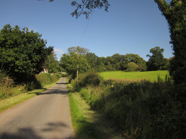
Mosslane is a small village located in the county of Staffordshire, England. Situated approximately 7 miles to the east of Stafford, it falls within the Staffordshire Moorlands district. The village is nestled amidst picturesque rolling countryside, offering residents and visitors a tranquil and idyllic setting.

With a population of around 500 people, Mosslane maintains a close-knit community atmosphere. The village is primarily residential, characterized by charming traditional cottages and houses, many of which date back several centuries. It exudes a quaint and quintessentially English village charm.

The village benefits from a range of amenities to cater to its residents' needs. These include a local convenience store, a post office, and a village hall, which serves as a hub for community events and gatherings. Additionally, there are several public houses and restaurants in the vicinity, offering opportunities for socializing and dining out.

Mosslane enjoys a close proximity to the beautiful Cannock Chase, an Area of Outstanding Natural Beauty. This provides residents with excellent opportunities for outdoor activities such as walking, cycling, and horse riding. The village is also well-connected to neighboring towns and cities, with good transport links via the nearby A34 road and Stafford railway station.

Overall, Mosslane offers a peaceful and picturesque place to live, appealing to those seeking a rural lifestyle with easy access to amenities and natural beauty.

If you have any feedback on the listing, please let us know in the comments section below.
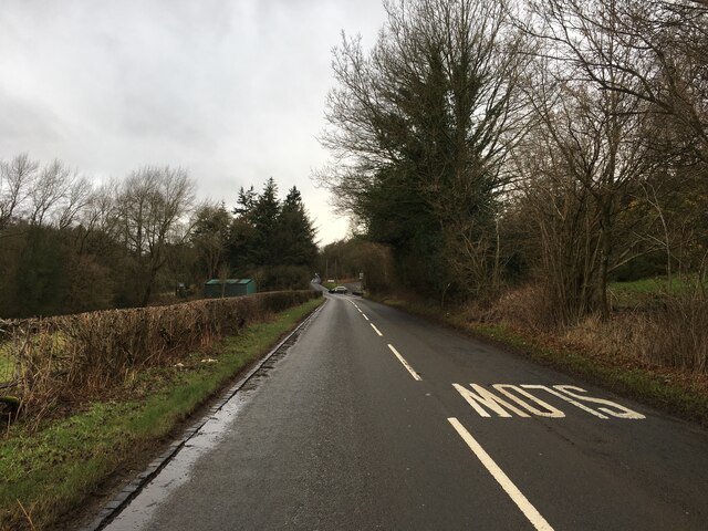
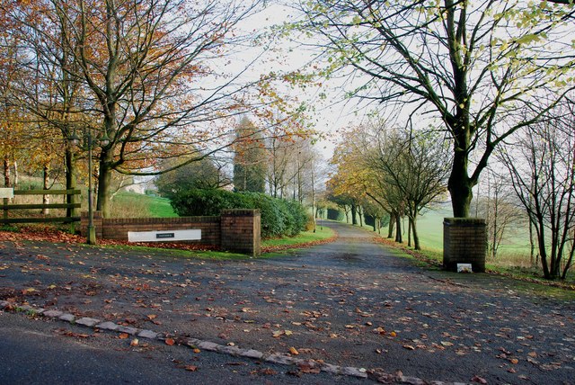
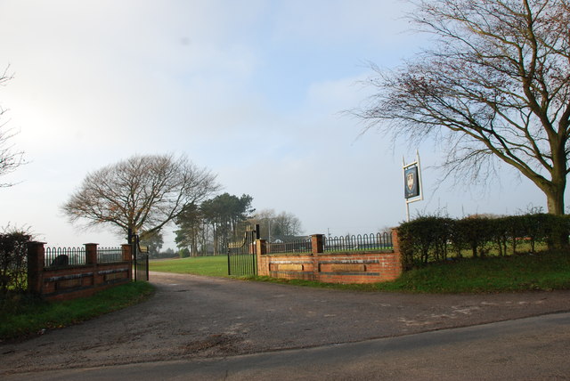
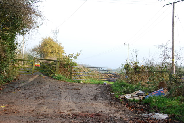
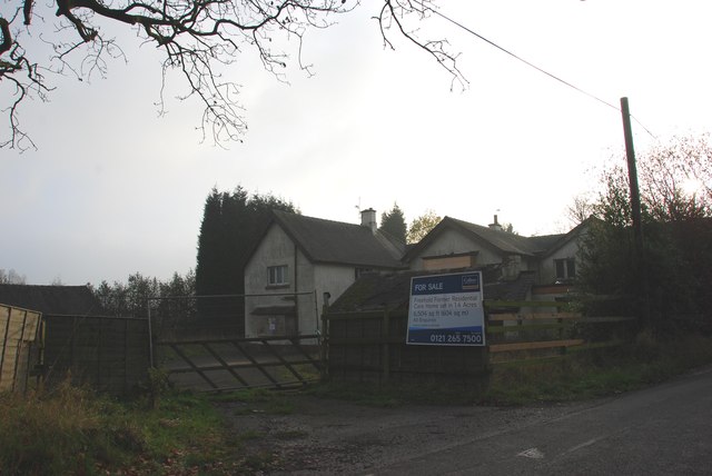
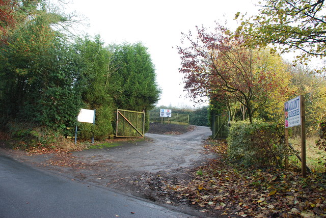
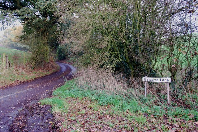
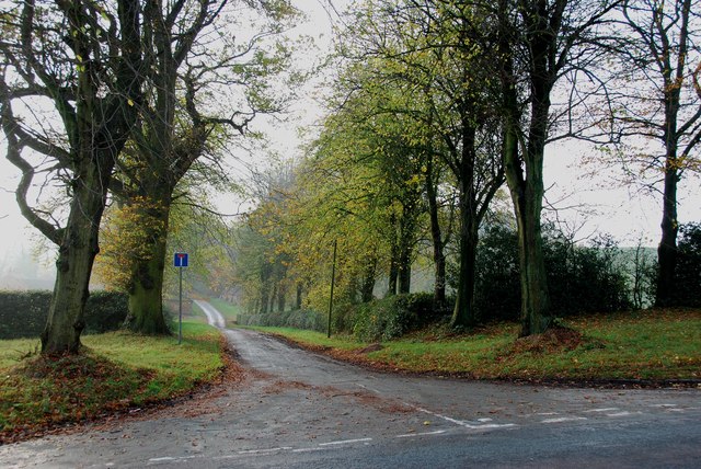
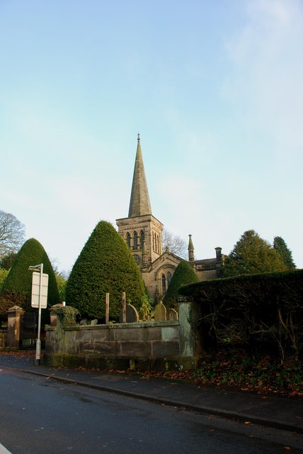
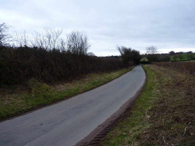
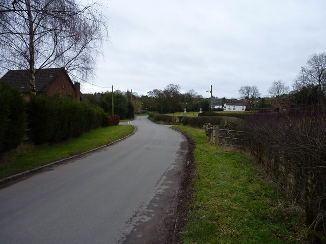
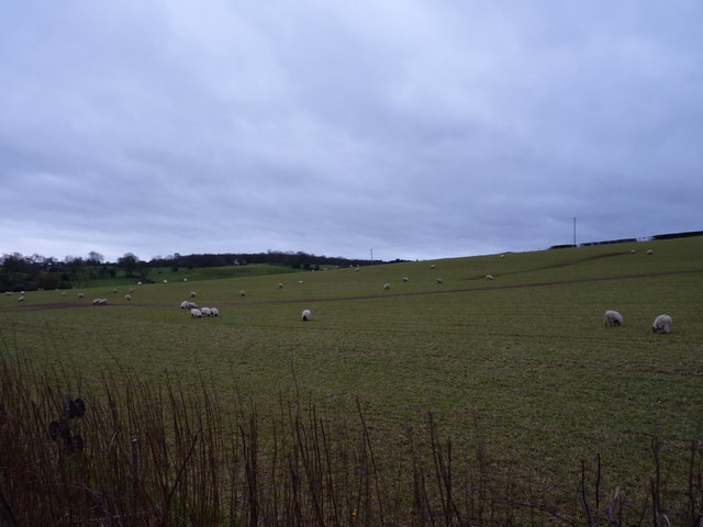
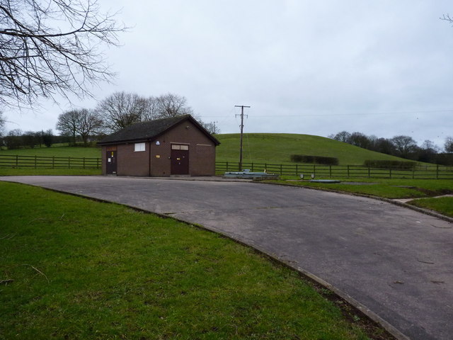
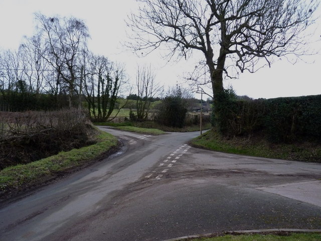
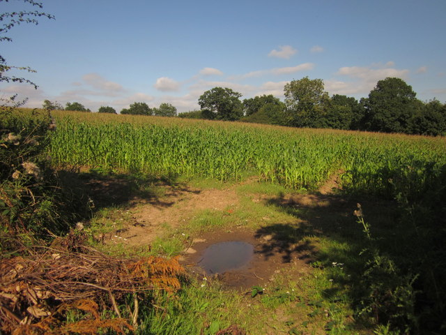
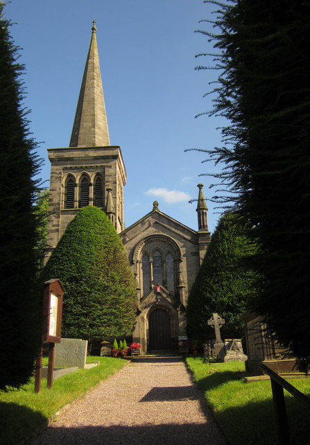
Mosslane Images

Images are sourced within 2km of 52.92746/-2.0742317 or Grid Reference SJ9536. Thanks to Geograph Open Source API. All images are credited.

B5066 near Fulford
B5066 near Fulford
The Entrance Drive to Farthings
Driveway to Moddershall Cricket Club
The Unpleasant side of the Country
For Sale, Former Residential Care Home This old care home has seen better days, it looks semi derelict.
For Sale, Former Residential Care Home
This old care home has seen better days, it looks semi derelict.
The Entrance to Mount Nurseries
Balaams Lane leaving the B5066
The Driveway to Spot Farm from the B5066
Looking across to Hilderstone Church
Country lane near Fulford The lane runs from Stallington towards Moss Gate.
Country lane near Fulford
The lane runs from Stallington towards Moss Gate.
The northern side of Fulford
Sheep in pasture fields near Fulford
Severn Trent's pumping station at Fulford
Crossroads of lanes NW of Fulford
Farm buildings outside Fulford Most of the barns have been (or are in the throes of being) converted to residential use.
Farm buildings outside Fulford
Most of the barns have been (or are in the throes of being) converted to residential use.
Maize near Hilderstone From the bend in the lane shown in <a href="https://www.geograph.org.uk/photo/199447">SJ9435 : Lane near Hilderstone</a>. The trees mark the line of the B5066.
Maize near Hilderstone
From the bend in the lane shown in SJ9435 : Lane near Hilderstone. The trees mark the line of the B5066.
Christ Church, Hilderstone Built in 1827-9 by Thomas Trubshaw <span class="nowrap"><a title="http://www.britishlistedbuildings.co.uk/en-272244-christ-church-hilderstone-staffordshire" rel="nofollow ugc noopener" href="http://www.britishlistedbuildings.co.uk/en-272244-christ-church-hilderstone-staffordshire">Link</a><img style="margin-left:2px;" alt="External link" title="External link - shift click to open in new window" src="https://s1.geograph.org.uk/img/external.png" width="10" height="10"/></span> .
Christ Church, Hilderstone
Built in 1827-9 by Thomas Trubshaw LinkExternal link .
Hall Lane Approaching <a href="https://www.geograph.org.uk/photo/459470">SJ9535 : Manor House, Hilderstone</a>. The wood on the right is named "New Forest" but is fairly modest in size.
Hall Lane
Approaching SJ9535 : Manor House, Hilderstone. The wood on the right is named "New Forest" but is fairly modest in size.
Show me another place!

Mosslane is located at Grid Ref: SJ9536 (Lat: 52.92746, Lng: -2.0742317)

Administrative County: Staffordshire

District: Stafford

Police Authority: Staffordshire

What 3 Words

///bibs.tilt.stance. Near Stone, Staffordshire

Nearby Locations

The Rookery Mosslane

Related Wikis

Fulford, Staffordshire

Fulford is a village and civil parish about 5 miles (8 km) north east of Stone, in the Stafford district, in the county of Staffordshire, England. The...

Hilderstone

Hilderstone is a village and a civil parish in the English county of Staffordshire. == Location == The village is 8.6 miles (13.8 km) north of the town...

Moddershall

Moddershall is a small village in the borough of Stafford in the county of Staffordshire, England, part of the civil parish of Stone Rural and ecclesiastical...

Stone Rural

Stone Rural is a civil parish in the Stafford district, in the county of Staffordshire, England. The parish includes the settlements of Aston-By-Stone...

Nearby Amenities

Located within 500m of 52.92746,-2.0742317
Bus Stop
Balaam's Lane
Bus: yes
Naptan AtcoCode: 3800C706800
Naptan Bearing: NW
Naptan CommonName: Balaam's Lane
Naptan Indicator: Adj
Naptan Landmark: Balaam's Lane
Naptan Street: Moss Lane
Naptan Verified: no
Public Transport: platform
Shelter: yes
Source: naptan_import
Lat/Long: 52.9308066/-2.0789524
Bus Stop
Balaam's Lane
Bus: yes
Naptan AtcoCode: 3800C706801
Naptan Bearing: SE
Naptan BusStopType: CUS
Naptan CommonName: Balaam's Lane
Naptan Indicator: Opp
Naptan Landmark: Balaams Ln
Naptan Street: Moss Ln
Naptan Verified: no
Public Transport: platform
Source: naptan_import
Lat/Long: 52.9308697/-2.0788186
Power: tower
Source: Bing
Lat/Long: 52.9252434/-2.0714804
Power: tower
Source: Bing
Lat/Long: 52.9234065/-2.0748922
Power: tower
Source: Bing
Lat/Long: 52.9269445/-2.0685627
Telephone
Booth: K6
Covered: booth
Man Made: telephone_box
Old Phone: +44 1889 505311
Lat/Long: 52.9307271/-2.0789457
Post Box
Post Box Mounting: telegraph_pole
Post Box Type: lamp
Ref: ST15 164
Lat/Long: 52.9307426/-2.0789086
The data included in this document is from www.openstreetmap.org. The data is made available under ODbL.

Have you been to Mosslane?

Leave your review of Mosslane below (or comments, questions and feedback).