Mosshead
Settlement in Aberdeenshire
Scotland
Mosshead
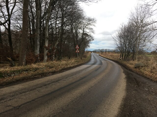
Mosshead is a small village located in Aberdeenshire, Scotland. Situated in the picturesque countryside, this rural community is known for its natural beauty and tranquil atmosphere. With a population of approximately 500 residents, Mosshead offers a close-knit and friendly community.
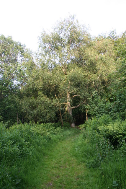
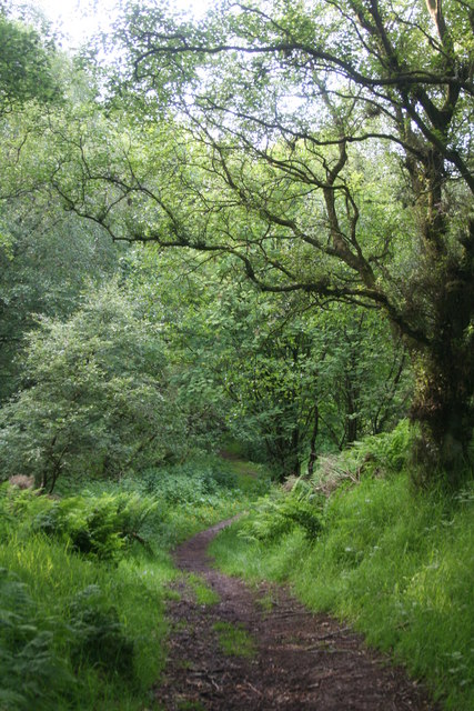
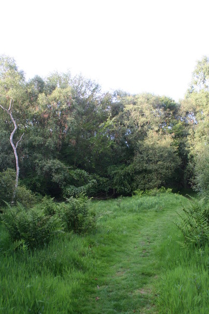
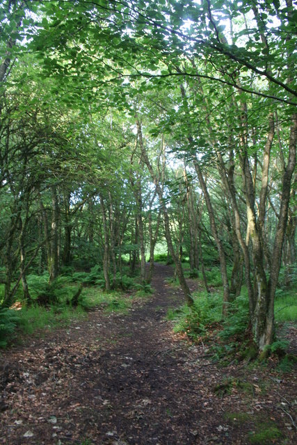
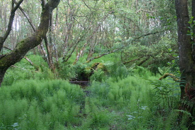
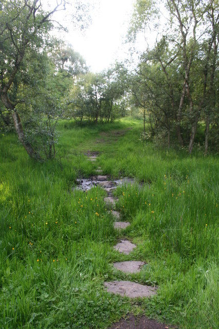
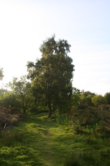
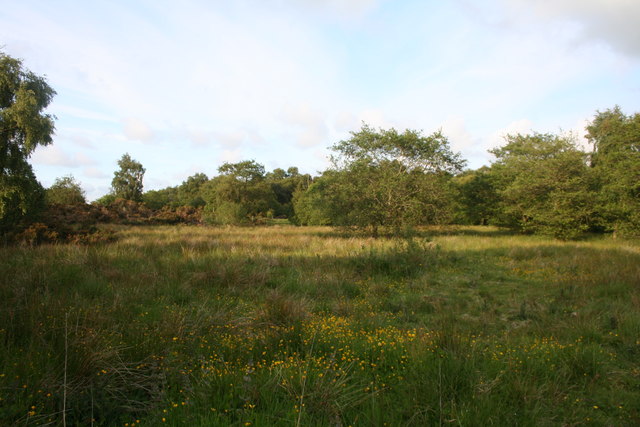
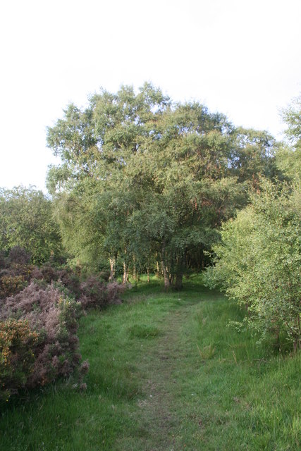
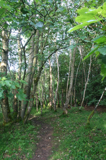
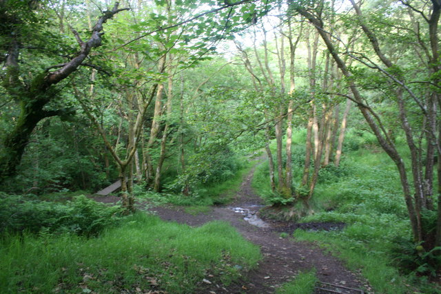
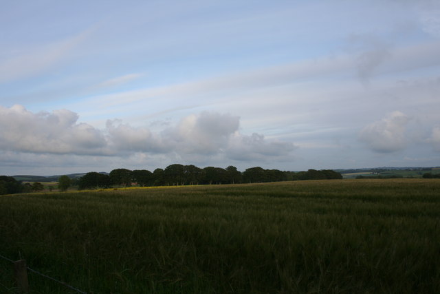
The village is surrounded by rolling hills, lush green fields, and stunning landscapes, making it an ideal destination for nature lovers and outdoor enthusiasts. The nearby Mosshead Forest is a popular spot for hiking, cycling, and bird-watching, with its diverse range of flora and fauna.
Despite its small size, Mosshead boasts a few amenities for its residents and visitors. The village has a local convenience store, a primary school, and a community hall that hosts various events throughout the year. Additionally, there are a few small businesses and farms that contribute to the local economy.
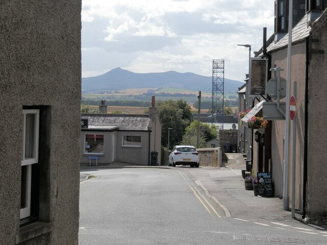
Mosshead is well-connected to the nearby towns and cities. The village is just a short drive away from Aberdeen, the largest city in Aberdeenshire, offering easy access to a wider range of amenities, shopping centers, and cultural attractions.
The village has a rich history, with several historical landmarks in the vicinity. The Mosshead Castle, a 16th-century tower house, stands as a testament to the area's past. Visitors can explore the castle's grounds and learn about its fascinating history.
In summary, Mosshead is a charming and picturesque village in Aberdeenshire, Scotland. With its beautiful natural surroundings, friendly community, and historical landmarks, it offers a peaceful and idyllic escape from the hustle and bustle of city life.
If you have any feedback on the listing, please let us know in the comments section below.
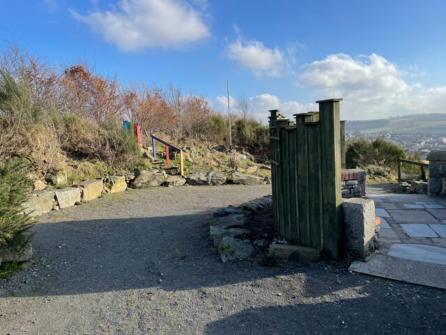
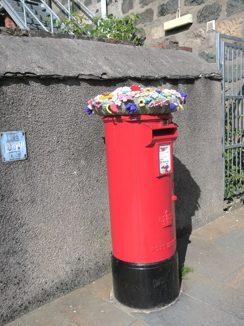
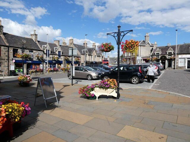
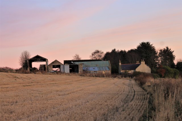
Mosshead Images
Images are sourced within 2km of 57.351927/-2.3262828 or Grid Reference NJ8029. Thanks to Geograph Open Source API. All images are credited.
Mosshead is located at Grid Ref: NJ8029 (Lat: 57.351927, Lng: -2.3262828)
Unitary Authority: Aberdeenshire
Police Authority: North East
What 3 Words
///pavilions.tags.shakes. Near Oldmeldrum, Aberdeenshire
Nearby Locations
Related Wikis

Meldrum House
Meldrum House is a Category B listed country house and estate in Oldmeldrum, Aberdeenshire, Scotland. It dates to around 1625 (although its datestone is...

Glen Garioch distillery
Glen Garioch distillery (pronounced "Geery" in the Doric dialect of Aberdeen) is one of the oldest whisky distilleries in Scotland, dating back to 1797...

Meldrum Academy
Meldrum Academy is a secondary school run by Aberdeenshire Council in Oldmeldrum, Aberdeenshire, Scotland. It was established in 2002 with S1 and S2 pupils...

Oldmeldrum
Oldmeldrum (commonly known as Meldrum) is a village and parish in the Formartine area of Aberdeenshire, not far from Inverurie in North East Scotland....
Oldmeldrum Town Hall
Oldmeldrum Town Hall is a municipal structure in the Market Square, Oldmeldrum, Aberdeenshire, Scotland. The structure, which is used as a community events...

Battle of Inverurie (1308)
The Battle of Inverurie, also known as the Battle of Barra, was fought in the north-east of Scotland and was a victory for the Scottish king Robert Bruce...

Old Meldrum railway station
Old Meldrum railway station was a railway station in Old Meldrum, Aberdeenshire. It was the terminus of the Inverury and Old Meldrum Junction Railway....
Inverury and Old Meldrum Junction Railway
The Inverury and Old Meldrum Junction Railway was a railway company in Aberdeenshire, Scotland, that opened a short branch line between the places in its...
Related Videos

#viral short video#views_viral_video_subscribers_grow #subscribers #duet #for You page
viral short video#views_viral_video_subscribers_grow#subscribers#duet#for You page @jahanzaibmughal786Official.

#11 Dash Cam - the Taste Whisky Road Trip driving from Aberdeen to Glen Garioch distillery
During our superb whisky-tasting roadtrip 2017 we visited Scotland. We had a great time in the distilleries we visited, as well as on ...

Exploring Oldmeldrum Village: Unveiling Scotland's Hidden Gem
Exploring Oldmeldrum Village: Unveiling Scotland's Hidden Gem. Welcome to my captivating walk through the picturesque village ...

Cameron Wedding
A small montage of the Cameron Wedding 07.12.19 at Meldrum House, Oldmeldrum from the eyes of the grooms' party.
Nearby Amenities
Located within 500m of 57.351927,-2.3262828Have you been to Mosshead?
Leave your review of Mosshead below (or comments, questions and feedback).