Moss Bridge

Settlement in Lancashire

England

Moss Bridge

Olive Lane, Darwen Residential thoroughfare in the old Lancashire town of Darwen
Olive Lane, Darwen Credit: Chris Heaton

Moss Bridge is a small village located in the county of Lancashire, in the northwest of England. It is situated approximately 5 miles south of the city of Preston and falls within the administrative boundaries of South Ribble Borough Council. The village is nestled in a rural area, surrounded by picturesque countryside and farmland.

Moss Bridge is known for its historical significance, with records dating back to the 12th century, when it was a thriving agricultural community. The name of the village is derived from the mossy terrain and the bridge that crosses the River Darwen, connecting the village to neighboring areas.

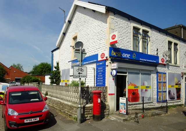
Despite its small size, Moss Bridge offers its residents a range of amenities. The village has a primary school, providing education for children in the local area. Additionally, there are a few local businesses, including a convenience store and a pub, which serves as a popular meeting place for locals.

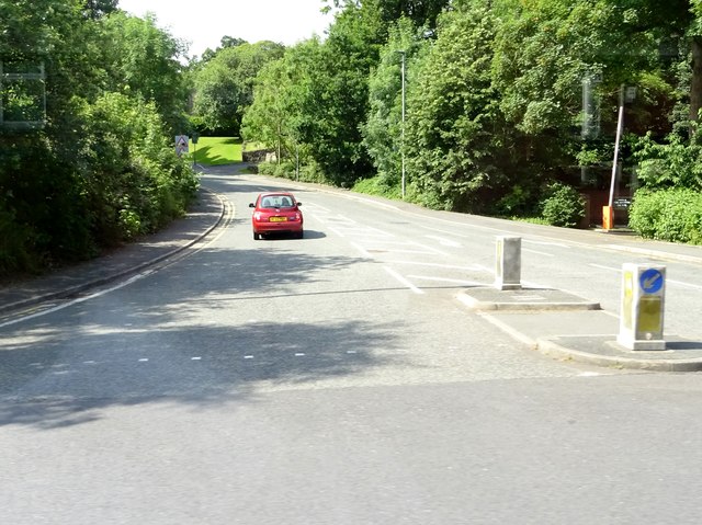
The village is well-connected to surrounding areas, with a reliable bus service providing transportation links to nearby towns and cities. Furthermore, Moss Bridge benefits from its proximity to major road networks, with the M65 motorway just a short drive away, facilitating easy access to destinations further afield.

Moss Bridge is an attractive location for those seeking a peaceful and rural lifestyle, while still remaining within reach of urban amenities. Its rich history, charming scenery, and strong community spirit make it a desirable place to live for residents and visitors alike.

If you have any feedback on the listing, please let us know in the comments section below.
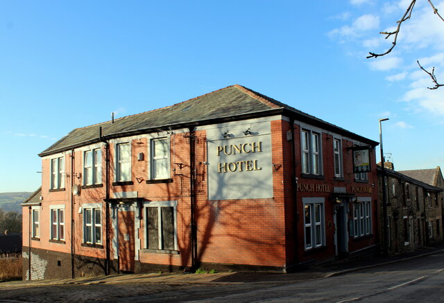
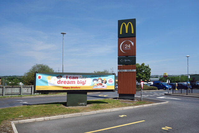
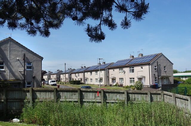
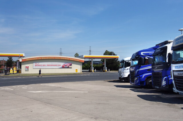
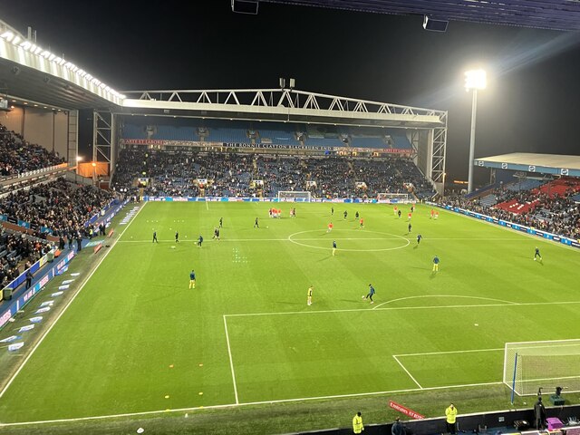
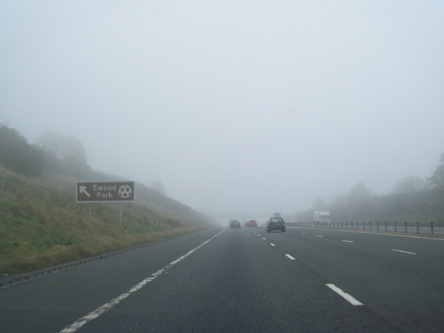
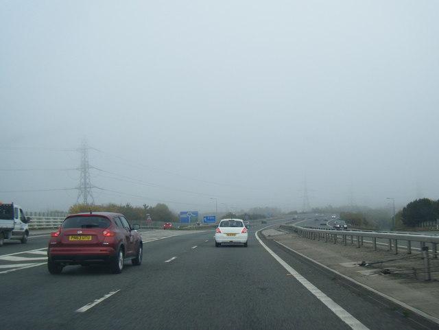
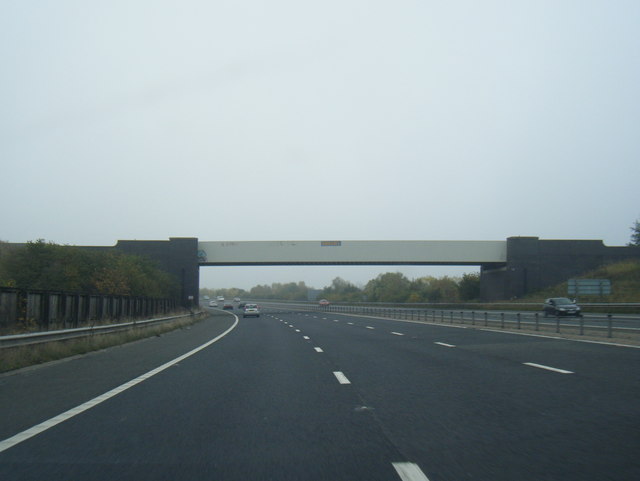
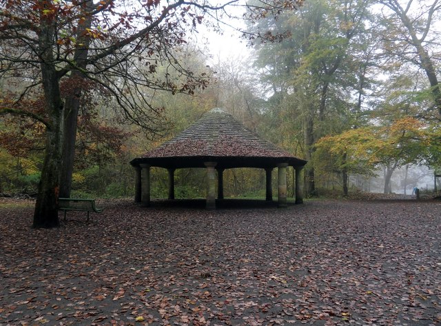
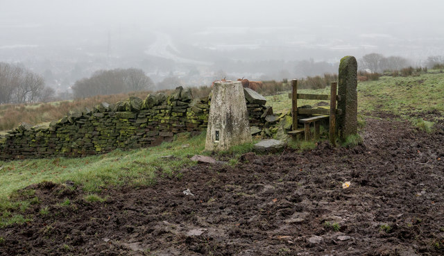
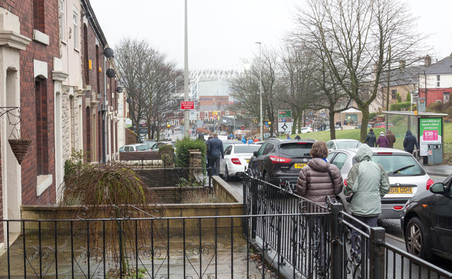
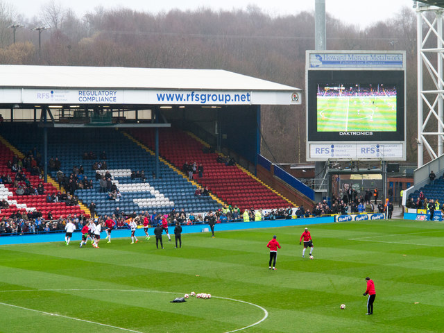
Moss Bridge Images

Images are sourced within 2km of 53.713932/-2.4815243 or Grid Reference SD6824. Thanks to Geograph Open Source API. All images are credited.

Olive Lane, Darwen Residential thoroughfare in the old Lancashire town of Darwen
Olive Lane, Darwen
Residential thoroughfare in the old Lancashire town of Darwen
Punch Hotel, Darwen Located at 25, Chapels - in Darwen
Punch Hotel, Darwen
Located at 25, Chapels - in Darwen
Moor Lane leading into Knowle Lane, Darwen
Holden Fold, Darwen
Holden Fold, Darwen
Greenway Shelter, Sunnyhurst Wood, Darwen
Dreaming Big at McDonald's Dreaming's free, I guess you can do it anywhere. 
A picture at Blackburn  & Darwen Services on the M65.
Dreaming Big at McDonald's
Dreaming's free, I guess you can do it anywhere. A picture at Blackburn & Darwen Services on the M65.
Redvers Road, Darwen Solar power on all the houses along here.
Redvers Road, Darwen
Solar power on all the houses along here.
Trucks at the Services Another picture taken during a leg stretch around Blackburn & Darwen Services after a long drive.
Trucks at the Services
Another picture taken during a leg stretch around Blackburn & Darwen Services after a long drive.
Ewood Park
Ewood Park
M65 eastbound nears Junction 4
M65 eastbound exit at Junction 4
M65 eastbound passes under railway bridge
The Greenway Shelter or Bandstand in Sunnyhurst Woods, Darwen Sunnyhurst Woods was opened to the public in 1903 and the Greenway Shelter (better known locally as the Bandstand) was donated by Charles Spencer Greenway in 1912. The Greenways were a wealthy local family who had owned mills and land in the area. The octagonal structure has eight stone pillars supporting an impressive slate roof that surmounts an intricate ironwork lattice.
The Greenway Shelter or Bandstand in Sunnyhurst Woods, Darwen
Sunnyhurst Woods was opened to the public in 1903 and the Greenway Shelter (better known locally as the Bandstand) was donated by Charles Spencer Greenway in 1912. The Greenways were a wealthy local family who had owned mills and land in the area. The octagonal structure has eight stone pillars supporting an impressive slate roof that surmounts an intricate ironwork lattice.
Trig point of Fernhurst Hill The triangulation column stands beside a public footpath near to a bend of Bog Height Road on high ground to the south of Blackburn.
Trig point of Fernhurst Hill
The triangulation column stands beside a public footpath near to a bend of Bog Height Road on high ground to the south of Blackburn.
Livesey Branch Road Livesey Branch Road, the A6062, is close to the centre of Blackburn; the view is towards Ewood Park part of which fills the centre of the image. Many of the folk in the image are heading there to watch an FA Cup match between Blackburn Rovers and Manchester United.
Livesey Branch Road
Livesey Branch Road, the A6062, is close to the centre of Blackburn; the view is towards Ewood Park part of which fills the centre of the image. Many of the folk in the image are heading there to watch an FA Cup match between Blackburn Rovers and Manchester United.
Ewood Park, Riverside Stand The southern end of the Riverside Stand as seen from the Jack Walker Stand.
Ewood Park, Riverside Stand
The southern end of the Riverside Stand as seen from the Jack Walker Stand.
Mossbridge Convenience Store A general grocer in Darwen.
Mossbridge Convenience Store
A general grocer in Darwen.
Jack Walker Way in Ewood, Blackburn Jack Walker (1929 - 2000) was an industrialist and businessman from Blackburn, and went on to be the owner of Blackburn Rovers football club.
Jack Walker Way in Ewood, Blackburn
Jack Walker (1929 - 2000) was an industrialist and businessman from Blackburn, and went on to be the owner of Blackburn Rovers football club.
Show me another place!

Moss Bridge is located at Grid Ref: SD6824 (Lat: 53.713932, Lng: -2.4815243)

Unitary Authority: Blackburn with Darwen

Police Authority: Lancashire

What 3 Words

///under.during.shell. Near Darwen, Lancashire

Related Wikis

Darwen Vale High School

Darwen Vale High School is a coeducational secondary school located in Darwen in the English county of Lancashire. The school converted to academy status...

Darwen F.C.

Darwen Football Club is a football club from Darwen, Lancashire, England. The club was formed in 2009 as A.F.C. Darwen, a successor to the original Darwen...

Blackburn with Darwen services

Blackburn with Darwen services is a service station located off J4 on the M65 motorway in Lancashire, England which opened in 2002 and is operated by Extra...

Earcroft

Earcroft is the northern ward in the town of Darwen, Lancashire, England. It borders Blackburn on the A666. It has a mix of residential, manufacturing...

Nearby Amenities

Located within 500m of 53.713932,-2.4815243
Motorway Junction
Earcroft Interchange
Maxspeed: 70 mph
Ref: 4
Lat/Long: 53.7160021/-2.4868283
Earcroft
Place: suburb
Source: npe
Lat/Long: 53.7142855/-2.480754
Bus Stop
Darwen Vale School
Bus: yes
Naptan AtcoCode: 2580EAR0001
Naptan NaptanCode: blagdmw
Public Transport: platform
Shelter: yes
Lat/Long: 53.7152427/-2.4834046
Bus Stop
Public Transport: platform
Lat/Long: 53.7102097/-2.4812176
Bus Stop
Public Transport: platform
Lat/Long: 53.709723/-2.4812494
Traffic Signals
Traffic Signals Direction: forward
Lat/Long: 53.7145465/-2.4826517
Traffic Signals
Traffic Signals Direction: forward
Lat/Long: 53.7143611/-2.4822345
Traffic Signals
Traffic Signals Direction: forward
Lat/Long: 53.7141433/-2.4825058
Travelodge
Addr City: Darwen
Addr Postcode: BB3 0DB
Addr Street: ExtraMSA Blackburn with Darwen Services
Brand: Travelodge
Brand Wikidata: Q9361374
Internet Access: wlan
Internet Access Fee: customers
Internet Access Ssid: Travelodge WiFi
Tourism: hotel
Website: https://www.travelodge.co.uk/hotels/114/Blackburn-M65-hotel
Lat/Long: 53.7127451/-2.477142
Traffic Signals
Traffic Signals: signal
Traffic Signals Direction: forward
Lat/Long: 53.7160746/-2.4784159
Mini Roundabout
Lat/Long: 53.7114623/-2.4816851
Noexit: yes
Lat/Long: 53.7125105/-2.4785712
Place Of Worship
Roman Catholic Church of the Sacred Heart
Denomination: roman_catholic
Node Id: 975349377
Religion: christian
Source: OS_OpenData_StreetView
Source Name: OS Open Local Important Buildings Layer
Lat/Long: 53.710602/-2.4822445
Turning Circle
Lat/Long: 53.7123295/-2.4843393
Turning Circle
Lat/Long: 53.7125891/-2.4841154
Turning Circle
Lat/Long: 53.7130569/-2.4787461
Power: tower
Ref: ZO 128
Lat/Long: 53.7172538/-2.4817892
Power: tower
Ref: ZO 127
Lat/Long: 53.7167968/-2.4763886
Fuel
Shell
Addr City: Darwen
Addr Postcode: BB3 0AT
Brand: Shell
Brand Wikidata: Q110716465
Opening Hours: 24/7
Phone: +44 1254 706453
Ref Navads: NVDS353_10367629
Website: https://find.shell.com/gb/fuel/10367629-shell-darwen
Lat/Long: 53.714155/-2.47693
Fast Food
McDonald's
Addr City: Darwen
Addr Postcode: BB3 0AT
Addr Street: ExtraMSA Blackburn with Darwen Services
Brand: McDonald's
Brand Wikidata: Q38076
Brand Wikipedia: en:McDonald's
Contact Website: https://www.mcdonalds.com/gb/en-gb/location/darwen/darwen---j4m65/j4-m65-blackburn-interchange/8261276.html
Cuisine: burger
Drive Through: yes
Fhrs Id: 212335
Source Addr: FHRS Open Data
Takeaway: yes
Lat/Long: 53.7127275/-2.4779053
Pub
Anchor Hotel
Addr City: Darwen
Addr Postcode: BB3 0AB
Addr Street: Blackburn Road
Fhrs Id: 211156
Name En: Anchor
Source Addr: FHRS Open Data
Lat/Long: 53.7100627/-2.4810094
Crossing
Crossing: traffic_signals
Crossing Island: yes
Crossing Ref: toucan
Tactile Paving: yes
Lat/Long: 53.7142553/-2.4822473
Give Way
Direction: forward
Lat/Long: 53.7141608/-2.4823027
Crossing
Crossing: traffic_signals
Crossing Island: no
Crossing Ref: pelican
Tactile Paving: yes
Lat/Long: 53.7145311/-2.4826062
Crossing
Crossing: traffic_signals
Crossing Island: yes
Crossing Ref: toucan
Tactile Paving: yes
Lat/Long: 53.7144557/-2.4822659
Crossing
Crossing: marked
Crossing Island: no
Lat/Long: 53.7155592/-2.4840371
Crossing
Crossing: marked
Crossing Island: no
Lat/Long: 53.7148117/-2.483634
Generator Method: photovoltaic
Generator Output Electricity: yes
Generator Source: solar
Generator Type: solar_photovoltaic_panel
Location: roof
Power: generator
Lat/Long: 53.7140662/-2.4811244
Generator Method: photovoltaic
Generator Output Electricity: yes
Generator Source: solar
Generator Type: solar_photovoltaic_panel
Location: roof
Power: generator
Lat/Long: 53.7140852/-2.481001
Generator Method: photovoltaic
Generator Output Electricity: yes
Generator Source: solar
Generator Type: solar_photovoltaic_panel
Location: roof
Power: generator
Lat/Long: 53.7138392/-2.4808991
Generator Method: photovoltaic
Generator Output Electricity: yes
Generator Source: solar
Generator Type: solar_photovoltaic_panel
Location: roof
Power: generator
Lat/Long: 53.7138661/-2.4807382
Generator Method: photovoltaic
Generator Output Electricity: yes
Generator Source: solar
Generator Type: solar_photovoltaic_panel
Location: roof
Power: generator
Lat/Long: 53.7135677/-2.480537
Generator Method: photovoltaic
Generator Output Electricity: yes
Generator Source: solar
Generator Type: solar_photovoltaic_panel
Location: roof
Power: generator
Lat/Long: 53.7135931/-2.4803841
Generator Method: photovoltaic
Generator Output Electricity: yes
Generator Source: solar
Generator Type: solar_photovoltaic_panel
Location: roof
Power: generator
Lat/Long: 53.7136136/-2.4802764
Generator Method: photovoltaic
Generator Output Electricity: yes
Generator Source: solar
Generator Type: solar_photovoltaic_panel
Location: roof
Power: generator
Lat/Long: 53.7135597/-2.4806144
Generator Method: photovoltaic
Generator Output Electricity: yes
Generator Source: solar
Generator Type: solar_photovoltaic_panel
Location: roof
Power: generator
Lat/Long: 53.7135978/-2.4807767
Generator Method: photovoltaic
Generator Output Electricity: yes
Generator Source: solar
Generator Type: solar_photovoltaic_panel
Location: roof
Power: generator
Lat/Long: 53.7135803/-2.4808933
Generator Method: photovoltaic
Generator Output Electricity: yes
Generator Source: solar
Generator Type: solar_photovoltaic_panel
Location: roof
Power: generator
Lat/Long: 53.7131614/-2.4789393
Generator Method: photovoltaic
Generator Output Electricity: yes
Generator Source: solar
Generator Type: solar_photovoltaic_panel
Location: roof
Power: generator
Lat/Long: 53.7131297/-2.479068
Generator Method: photovoltaic
Generator Output Electricity: yes
Generator Source: solar
Generator Type: solar_photovoltaic_panel
Location: roof
Power: generator
Lat/Long: 53.7131265/-2.4792129
Generator Method: photovoltaic
Generator Output Electricity: yes
Generator Source: solar
Generator Type: solar_photovoltaic_panel
Location: roof
Power: generator
Lat/Long: 53.713098/-2.4793443
Generator Method: photovoltaic
Generator Output Electricity: yes
Generator Source: solar
Generator Type: solar_photovoltaic_panel
Location: roof
Power: generator
Lat/Long: 53.7130741/-2.4796232
Generator Method: photovoltaic
Generator Output Electricity: yes
Generator Source: solar
Generator Type: solar_photovoltaic_panel
Location: roof
Power: generator
Lat/Long: 53.713044/-2.4798405
Generator Method: photovoltaic
Generator Output Electricity: yes
Generator Source: solar
Generator Type: solar_photovoltaic_panel
Location: roof
Power: generator
Lat/Long: 53.7130297/-2.4799585
Generator Method: photovoltaic
Generator Output Electricity: yes
Generator Source: solar
Generator Type: solar_photovoltaic_panel
Location: roof
Power: generator
Lat/Long: 53.7129868/-2.4801221
Generator Method: photovoltaic
Generator Output Electricity: yes
Generator Source: solar
Generator Type: solar_photovoltaic_panel
Location: roof
Power: generator
Lat/Long: 53.7129646/-2.4802482
Generator Method: photovoltaic
Generator Output Electricity: yes
Generator Source: solar
Generator Type: solar_photovoltaic_panel
Location: roof
Power: generator
Lat/Long: 53.7129265/-2.4804011
Generator Method: photovoltaic
Generator Output Electricity: yes
Generator Source: solar
Generator Type: solar_photovoltaic_panel
Location: roof
Power: generator
Lat/Long: 53.7129011/-2.4805325
Generator Method: photovoltaic
Generator Output Electricity: yes
Generator Source: solar
Generator Type: solar_photovoltaic_panel
Location: roof
Power: generator
Lat/Long: 53.7128392/-2.4791968
Generator Method: photovoltaic
Generator Output Electricity: yes
Generator Source: solar
Generator Type: solar_photovoltaic_panel
Location: roof
Power: generator
Lat/Long: 53.7128503/-2.4790895
Generator Method: photovoltaic
Generator Output Electricity: yes
Generator Source: solar
Generator Type: solar_photovoltaic_panel
Location: roof
Power: generator
Lat/Long: 53.7129043/-2.4789124
Generator Method: photovoltaic
Generator Output Electricity: yes
Generator Source: solar
Generator Type: solar_photovoltaic_panel
Location: roof
Power: generator
Lat/Long: 53.7129138/-2.4787944
Generator Method: photovoltaic
Generator Output Electricity: yes
Generator Source: solar
Generator Type: solar_photovoltaic_panel
Location: roof
Power: generator
Lat/Long: 53.7126392/-2.4786603
Generator Method: photovoltaic
Generator Output Electricity: yes
Generator Source: solar
Generator Type: solar_photovoltaic_panel
Location: roof
Power: generator
Lat/Long: 53.7127916/-2.4811762
Generator Method: photovoltaic
Generator Output Electricity: yes
Generator Source: solar
Generator Type: solar_photovoltaic_panel
Location: roof
Power: generator
Lat/Long: 53.7122233/-2.4795508
Generator Method: photovoltaic
Generator Output Electricity: yes
Generator Source: solar
Generator Type: solar_photovoltaic_panel
Location: roof
Power: generator
Lat/Long: 53.7121534/-2.4799236
Generator Method: photovoltaic
Generator Output Electricity: yes
Generator Source: solar
Generator Type: solar_photovoltaic_panel
Location: roof
Power: generator
Lat/Long: 53.7115216/-2.4801221
Generator Method: photovoltaic
Generator Output Electricity: yes
Generator Source: solar
Generator Type: solar_photovoltaic_panel
Location: roof
Power: generator
Lat/Long: 53.7115486/-2.4798298
Generator Method: photovoltaic
Generator Output Electricity: yes
Generator Source: solar
Generator Type: solar_photovoltaic_panel
Location: roof
Power: generator
Lat/Long: 53.7173783/-2.4863625
Fast Food
Greggs
Addr City: Darwen
Addr Postcode: BB3 0AT
Addr Street: ExtraMSA Blackburn with Darwen Services
Brand: Greggs
Brand Wikidata: Q3403981
Brand Wikipedia: en:Greggs
Contact Website: https://www.greggs.co.uk/shop-finder?shop-code=2259
Cuisine: sandwich;bakery
Takeaway: yes
Lat/Long: 53.7126332/-2.477571
Cafe
Costa
Addr City: Darwen
Addr Postcode: BB3 0AT
Addr Street: ExtraMSA Blackburn with Darwen Services
Brand: Costa
Brand Wikidata: Q608845
Brand Wikipedia: en:Costa Coffee
Cuisine: coffee_shop
Fhrs Id: 455944
Opening Hours: 24/7
Takeaway: yes
Lat/Long: 53.7127284/-2.4774583
Toilets
Fee: no
Lat/Long: 53.7125506/-2.4777319
Crossing
Crossing: unmarked
Crossing Island: no
Crossing Markings: no
Tactile Paving: yes
Lat/Long: 53.7160714/-2.478474
Traffic Signals
Traffic Signals: signal
Traffic Signals Direction: forward
Lat/Long: 53.7161502/-2.4786241
Crossing
Crossing: unmarked
Crossing Island: no
Tactile Paving: yes
Lat/Long: 53.7168597/-2.4782615
Crossing
Crossing: unmarked
Crossing Island: yes
Crossing Markings: no
Tactile Paving: no
Lat/Long: 53.7146861/-2.4780626
Crossing
Crossing: unmarked
Crossing Island: yes
Crossing Markings: no
Tactile Paving: no
Lat/Long: 53.7146696/-2.4781807
Crossing
Crossing: unmarked
Crossing Island: yes
Tactile Paving: no
Lat/Long: 53.7158726/-2.4788256
Crossing
Crossing: unmarked
Crossing Island: yes
Tactile Paving: no
Lat/Long: 53.7158447/-2.4789551
Crossing
Crossing: traffic_signals
Crossing Island: yes
Crossing Ref: toucan
Tactile Paving: yes
Lat/Long: 53.7142487/-2.4824055
Noexit: yes
Lat/Long: 53.7159794/-2.4840895
Stop
Lat/Long: 53.7168215/-2.4838457
Traffic Signals
Traffic Signals: signal
Traffic Signals Direction: forward
Lat/Long: 53.7142911/-2.4822146
Crossing
Crossing: traffic_signals
Crossing Island: yes
Crossing Ref: toucan
Tactile Paving: yes
Lat/Long: 53.7143423/-2.4823186
Crossing
Crossing: unmarked
Crossing Island: no
Tactile Paving: yes
Lat/Long: 53.7146992/-2.4827409
Crossing
Crossing: traffic_signals
Crossing Island: yes
Crossing Ref: pelican
Tactile Paving: yes
Lat/Long: 53.7144319/-2.4827212
Crossing
Crossing: unmarked
Crossing Island: no
Tactile Paving: yes
Lat/Long: 53.7144851/-2.4828973
Crossing
Crossing: traffic_signals
Crossing Island: yes
Crossing Ref: pelican
Tactile Paving: yes
Lat/Long: 53.7145201/-2.4826297
Crossing
Crossing: traffic_signals
Crossing Island: yes
Crossing Ref: toucan
Tactile Paving: yes
Lat/Long: 53.7141708/-2.4825251
Crossing
Crossing: unmarked
Crossing Island: no
Tactile Paving: yes
Lat/Long: 53.7139394/-2.4825152
Traffic Signals
Traffic Signals: signal
Traffic Signals Direction: backward
Lat/Long: 53.7156981/-2.4834941
Traffic Signals
Traffic Signals: signal
Traffic Signals Direction: forward
Lat/Long: 53.7157577/-2.4835273
Crossing
Crossing: traffic_signals
Crossing Island: no
Crossing Ref: pelican
Tactile Paving: yes
Lat/Long: 53.7157279/-2.4835107
Crossing
Crossing: unmarked
Crossing Island: no
Tactile Paving: yes
Lat/Long: 53.7149906/-2.4832469
Crossing
Crossing: unmarked
Crossing Island: no
Tactile Paving: no
Lat/Long: 53.7155901/-2.4835705
Crossing
Crossing: zebra
Crossing Island: yes
Tactile Paving: yes
Lat/Long: 53.7135181/-2.4821017
Crossing
Crossing: zebra
Crossing Island: yes
Tactile Paving: yes
Lat/Long: 53.7135035/-2.4821884
Crossing
Crossing: unmarked
Lat/Long: 53.713369/-2.4822364
Crossing
Crossing: zebra
Crossing Island: no
Tactile Paving: yes
Lat/Long: 53.7113304/-2.4828648
Crossing
Crossing: unmarked
Crossing Island: no
Tactile Paving: yes
Lat/Long: 53.7130746/-2.4819101
Barrier: bollard
Lat/Long: 53.7121818/-2.4829193
D.H.J. Weisters
Addr City: Darwen
Addr Housename: Anchor Mills
Addr Postcode: BB3 0AQ
Addr Street: Moss Fold Road
Office: company
Website: https://www.weisters.co.uk/
Lat/Long: 53.7127631/-2.4829745
Turning Circle
Lat/Long: 53.7133893/-2.4799201
Generator Method: photovoltaic
Generator Output Electricity: yes
Generator Source: solar
Generator Type: solar_photovoltaic_panel
Location: roof
Power: generator
Lat/Long: 53.7140223/-2.48265
Generator Method: photovoltaic
Generator Output Electricity: yes
Generator Source: solar
Generator Type: solar_photovoltaic_panel
Location: roof
Power: generator
Lat/Long: 53.7140148/-2.4827224
Generator Method: photovoltaic
Generator Output Electricity: yes
Generator Source: solar
Generator Type: solar_photovoltaic_panel
Location: roof
Power: generator
Lat/Long: 53.7119734/-2.4820974
Generator Method: photovoltaic
Generator Output Electricity: yes
Generator Source: solar
Generator Type: solar_photovoltaic_panel
Location: roof
Power: generator
Lat/Long: 53.7119781/-2.4820156
Generator Method: photovoltaic
Generator Output Electricity: yes
Generator Source: solar
Generator Type: solar_photovoltaic_panel
Location: roof
Power: generator
Lat/Long: 53.7122115/-2.4816468
Generator Method: photovoltaic
Generator Output Electricity: yes
Generator Source: solar
Generator Type: solar_photovoltaic_panel
Location: roof
Power: generator
Lat/Long: 53.7122214/-2.4815503
Leisure: playground
Lat/Long: 53.7112717/-2.4794193
Leisure: playground
Lat/Long: 53.7112551/-2.4796942
Fast Food
Chopstix
Addr City: Darwen
Addr Postcode: BB3 0AT
Addr Street: ExtraMSA Blackburn with Darwen Services
Branch: Blackburn
Brand: Chopstix
Brand Wikidata: Q115327253
Cuisine: noodle
Drive Through: no
Fhrs Id: 668839
Opening Hours: Mo-Su 11:00-20:00
Phone: +44 1254 926798
Takeaway: yes
Website: https://www.chopstixnoodles.co.uk/stores/blackburn
Lat/Long: 53.712596/-2.4779004
Phone
Emergency: phone
Indoor: no
Operator: National Highways
Operator Type: government
Operator Wikidata: Q5760006
Ref: 4135 A
Lat/Long: 53.7167143/-2.4802716
Phone
Emergency: phone
Indoor: no
Operator: National Highways
Operator Type: government
Operator Wikidata: Q5760006
Ref: 4135 B
Lat/Long: 53.7163834/-2.4803306
The data included in this document is from www.openstreetmap.org. The data is made available under ODbL.

Have you been to Moss Bridge?

Leave your review of Moss Bridge below (or comments, questions and feedback).