Metfield Common
Settlement in Suffolk Mid Suffolk
England
Metfield Common

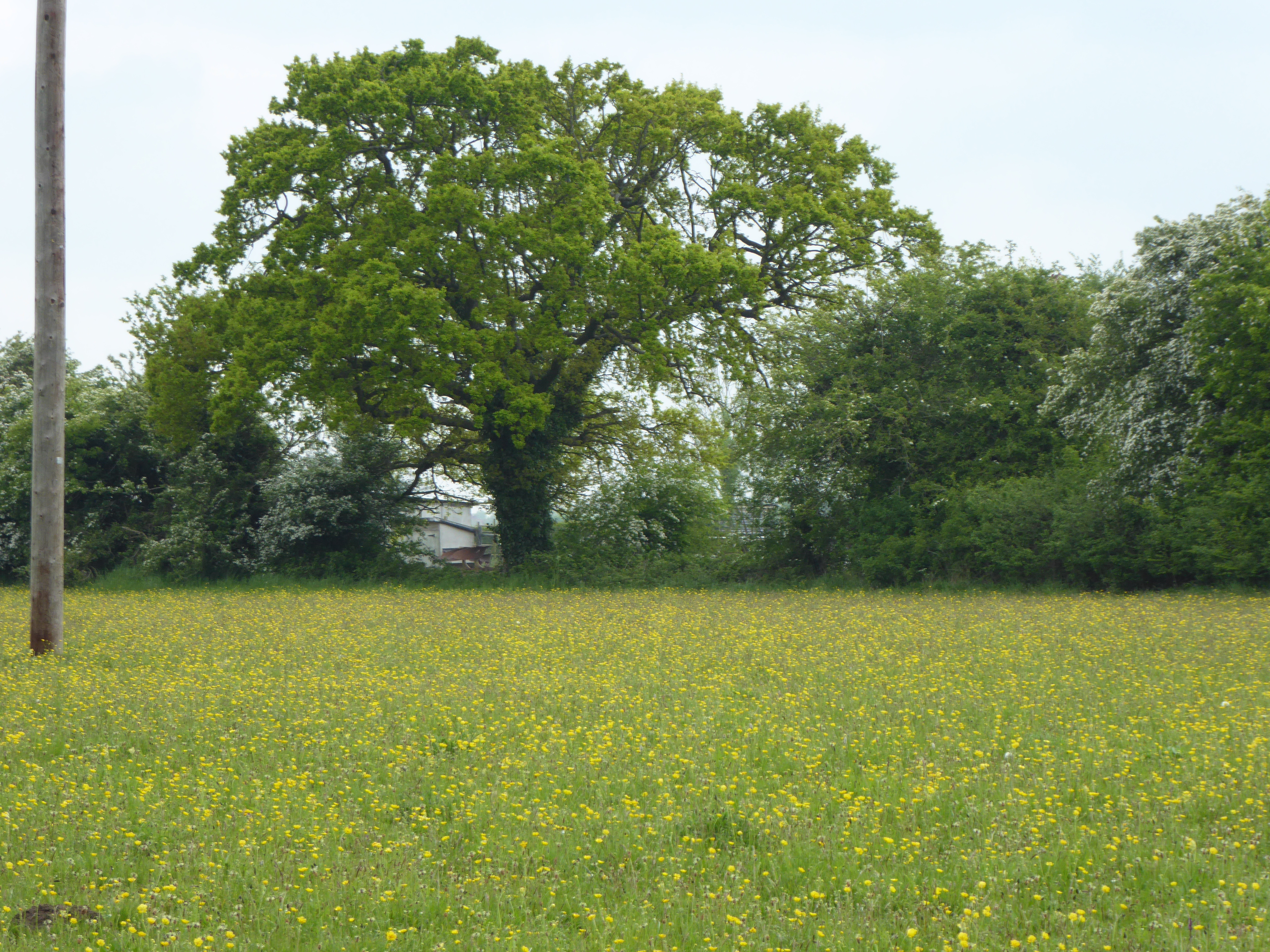
Metfield Common is a charming rural area located in the county of Suffolk, England. Situated just 6 miles southwest of the market town of Halesworth, this tranquil village is surrounded by picturesque countryside and offers a peaceful retreat for residents and visitors alike.
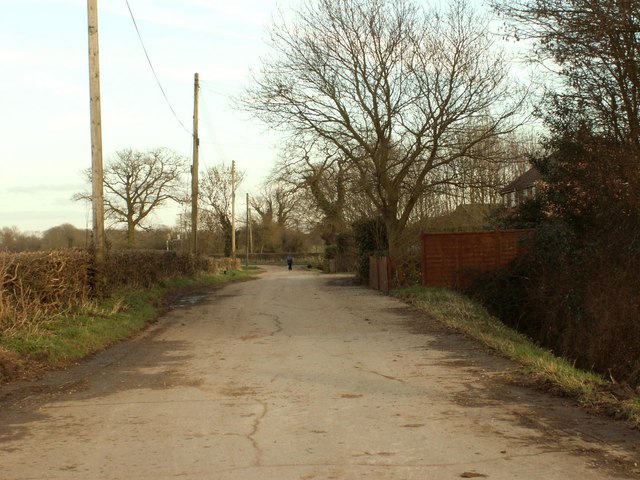
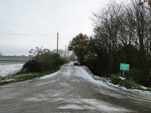
Covering an area of approximately 2 square miles, Metfield Common is characterized by its idyllic landscape of lush green fields, ancient woodlands, and gently rolling hills. The common itself, a designated Site of Special Scientific Interest, is a vast open space boasting a diverse range of flora and fauna, making it a haven for nature enthusiasts and wildlife lovers.
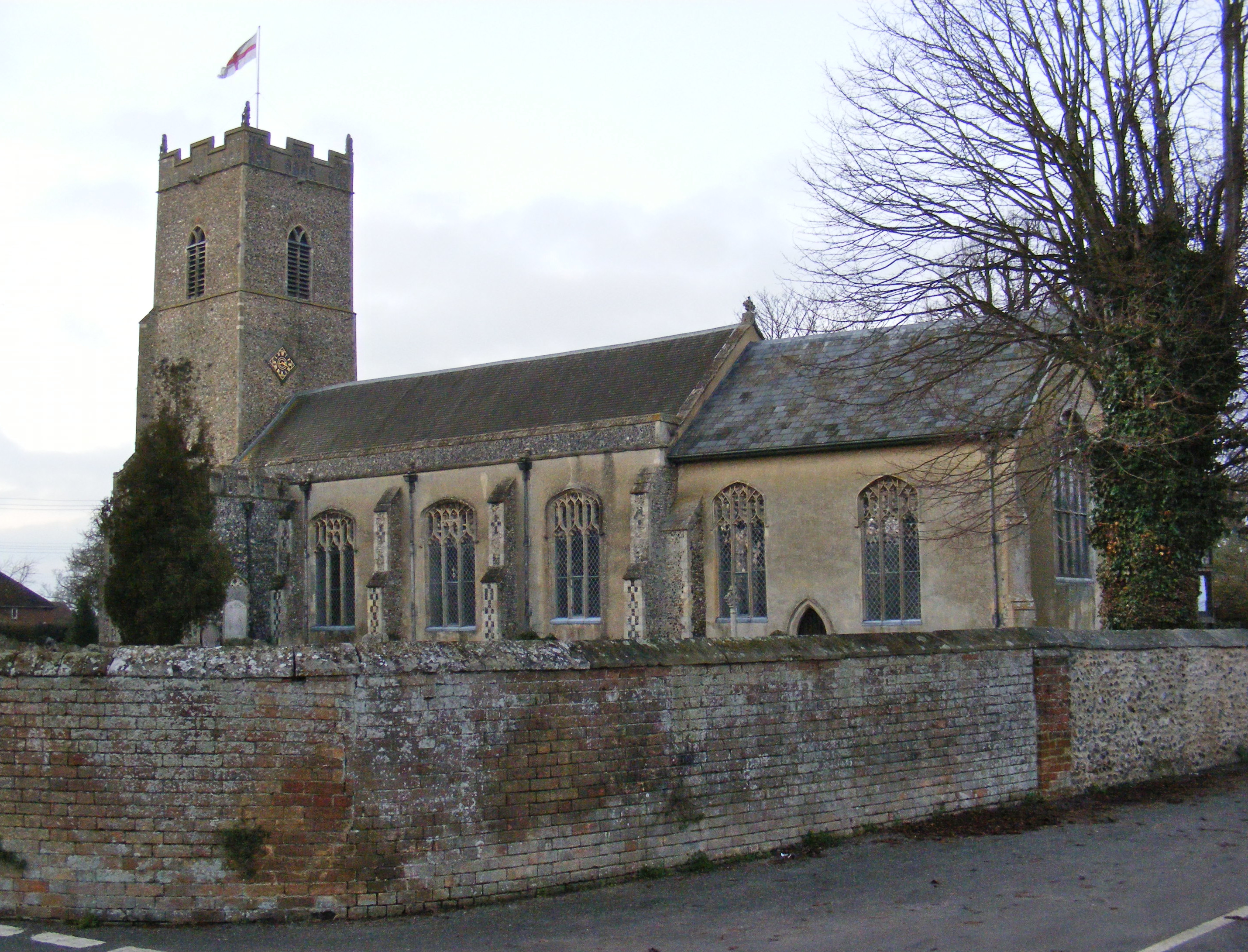
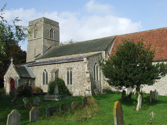
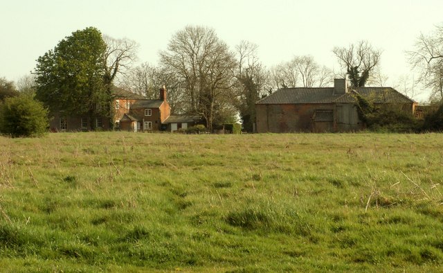
The village of Metfield, which sits adjacent to the common, is a close-knit community that exudes a sense of traditional English charm. The village is home to a small but welcoming population, with a quaint Norman church, St. John the Baptist, serving as the spiritual and historical center of the community.
For those seeking outdoor activities, Metfield Common offers ample opportunities for walking, cycling, and horse riding, with numerous public footpaths and bridleways crisscrossing the area. The common also features a children's playground, providing a safe and enjoyable space for families to relax and play.
Although Metfield Common may be a tranquil escape from the hustle and bustle of city life, it is still conveniently located within easy reach of amenities. Nearby Halesworth offers a range of shops, restaurants, and leisure facilities, ensuring that residents have everything they need within a short distance.
Overall, Metfield Common is a delightful rural haven that offers a perfect blend of natural beauty, community spirit, and convenient access to nearby amenities.
If you have any feedback on the listing, please let us know in the comments section below.
Metfield Common Images
Images are sourced within 2km of 52.359769/1.381322 or Grid Reference TM3078. Thanks to Geograph Open Source API. All images are credited.


Metfield Common is located at Grid Ref: TM3078 (Lat: 52.359769, Lng: 1.381322)
Administrative County: Suffolk
District: Mid Suffolk
Police Authority: Suffolk
What 3 Words
///inch.calculating.nags. Near Cookley, Suffolk
Nearby Locations
Related Wikis

Metfield Meadow
Metfield Meadow is a 1.3-hectare (3.2-acre) biological Site of Special Scientific Interest west of Halesworth in Suffolk. It is owned and managed by Suffolk...
Metfield
Metfield is a village in Suffolk, England, but its name is derived from Medefeld or 'Meadow feld' (see Concise Oxford Dictionary of English Place Names...

Linstead Magna
Linstead Magna is a civil parish in the East Suffolk district of Suffolk in eastern England. == Population and civil parish == In 2005 its population was...
St James South Elmham
St James South Elmham is a village and civil parish in the north of the English county of Suffolk. It is 4.5 miles (7.2 km) north-west of the market town...
Laurel Farm Meadow
Laurel Farm Meadow is a 1.6-hectare (4.0-acre) biological Site of Special Scientific Interest north-west of Halesworth in Suffolk.This mesotrophic grassland...
Linstead Parva
Linstead Parva is a small village and civil parish in the East Suffolk district of Suffolk in eastern England. It has a small but notable 13th-century...
Chippenhall Green
Chippenhall Green is a 16.3-hectare (40-acre) biological Site of Special Scientific Interest west of Halesworth in Suffolk, England.This unimproved grassland...

Cratfield
Cratfield is a village in northern Suffolk, England. "It has a population of 292 according to the 2011 census." Neighbouring villages include Laxfield...
Nearby Amenities
Located within 500m of 52.359769,1.381322Have you been to Metfield Common?
Leave your review of Metfield Common below (or comments, questions and feedback).