Merrington Lane
Settlement in Durham
England
Merrington Lane
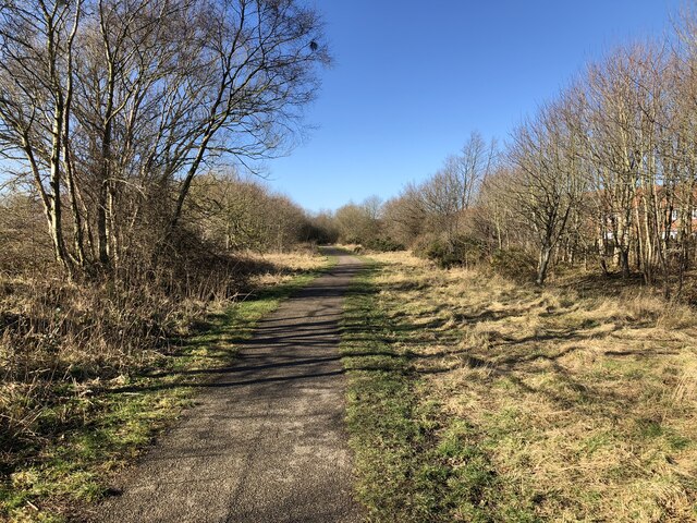
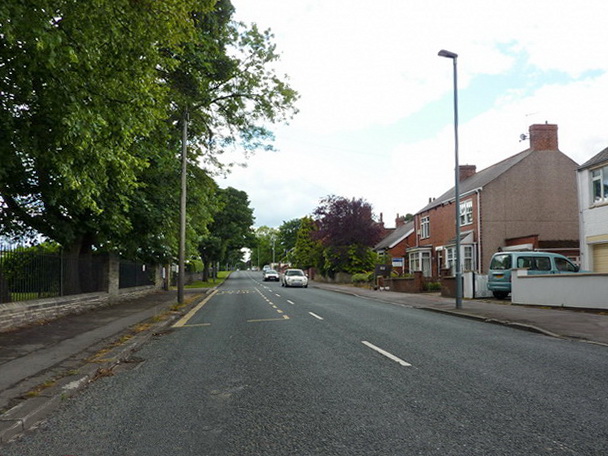
Merrington Lane is a picturesque rural road located in Durham, England. Situated in the county's northeast region, this lane has gained popularity for its serene surroundings and charming countryside views. Stretching approximately 2 miles, Merrington Lane connects the small villages of Merrington and Spennymoor, providing a vital transportation link for the local community.
Lined with lush green fields and dotted with traditional farmhouses, Merrington Lane offers a glimpse into the region's rich agricultural heritage. The road is flanked by hedgerows and trees, adding to its idyllic ambience, particularly during the spring and summer months when wildflowers bloom in abundance.
The lane itself is well-maintained, with a smooth tarmac surface that allows for easy driving and cycling. However, as it is a rural road, motorists should exercise caution, especially during inclement weather conditions.
Merrington Lane is also a popular route for walkers and nature enthusiasts. Numerous footpaths and bridleways branch off from the road, providing opportunities for leisurely strolls and exploring the surrounding countryside. The lane offers stunning vistas of the rolling hills and meandering streams, creating a tranquil escape from the hustle and bustle of urban life.
Overall, Merrington Lane is a charming and peaceful road that showcases the natural beauty of Durham's countryside. Whether one is a local resident or a visitor, this idyllic stretch of road is sure to leave a lasting impression of the region's rural charm.
If you have any feedback on the listing, please let us know in the comments section below.
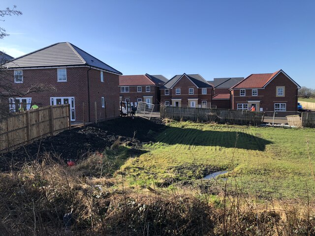
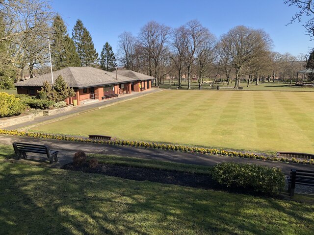
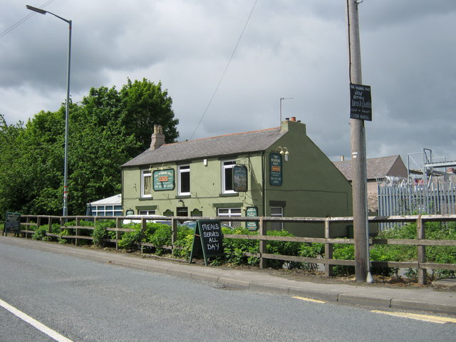
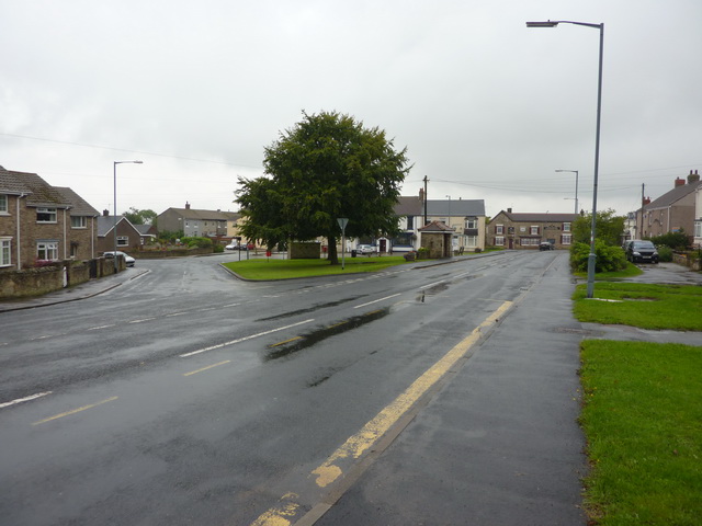
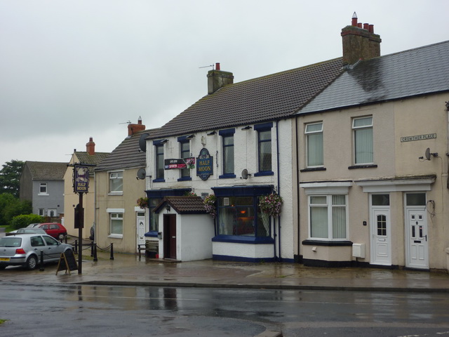
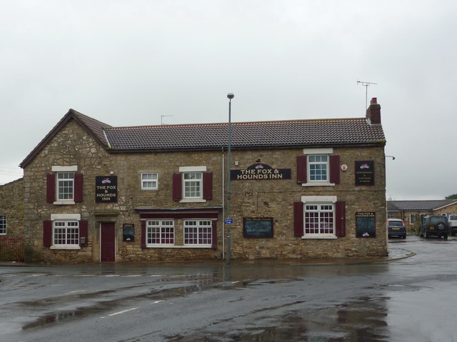
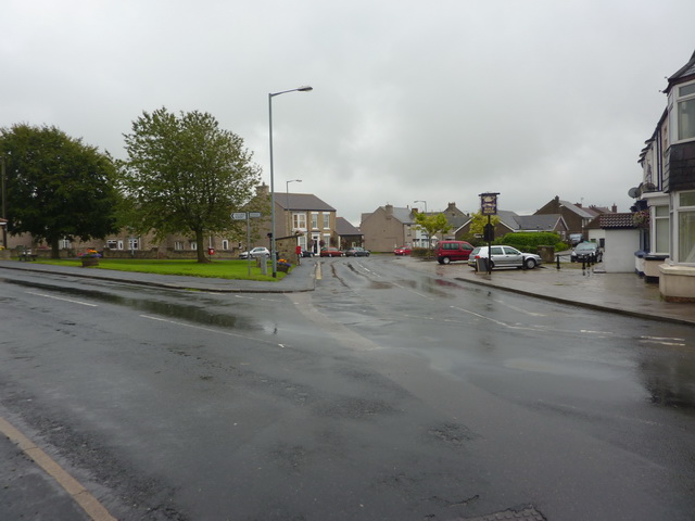
Merrington Lane Images
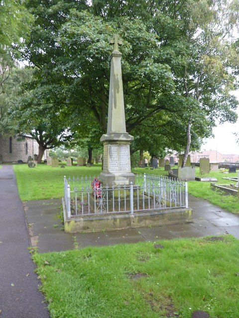
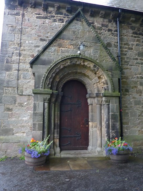
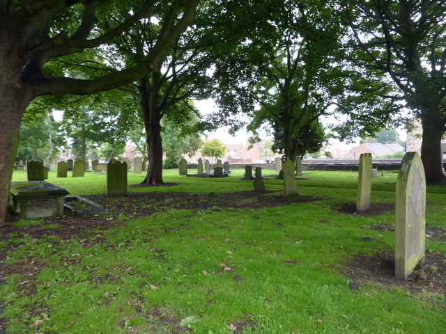
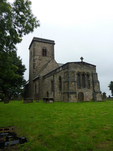
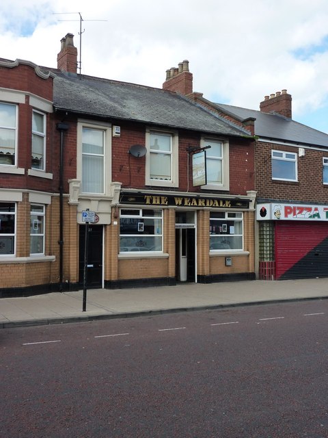
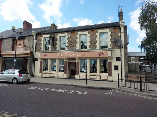
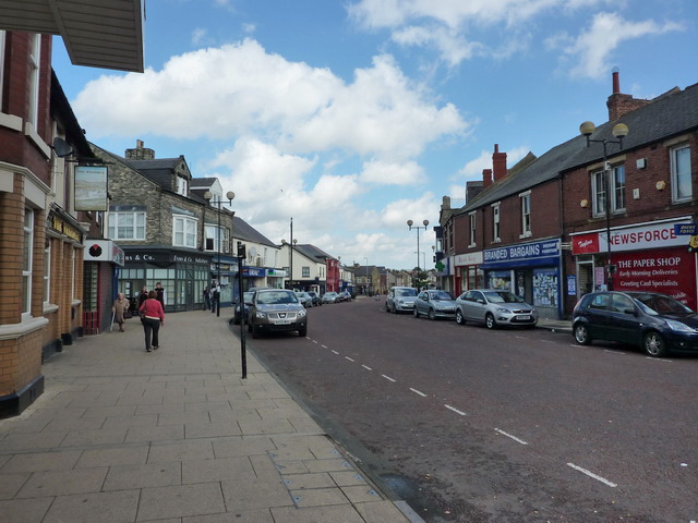
Images are sourced within 2km of 54.69232/-1.5931192 or Grid Reference NZ2633. Thanks to Geograph Open Source API. All images are credited.
Merrington Lane is located at Grid Ref: NZ2633 (Lat: 54.69232, Lng: -1.5931192)
Unitary Authority: County Durham
Police Authority: Durham
What 3 Words
///cheerful.sprouting.defining. Near Spennymoor, Co. Durham
Nearby Locations
Related Wikis
Spennymoor
Spennymoor is a town and civil parish in County Durham, England. It is south of the River Wear and is 7 mi (11 km) south of Durham. The civil parish includes...

Spennymoor railway station
Spennymoor railway station served the town of Spennymoor, County Durham, England from 1845 to 1952 on the Byers Green Branch of the Clarence Railway....
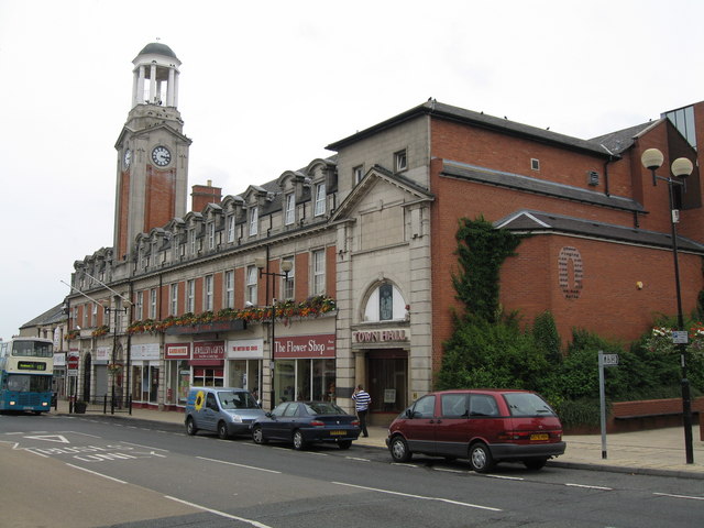
Spennymoor Town Hall
Spennymoor Town Hall is a municipal building in Spennymoor, County Durham, England. The town hall is the meeting place of Spennymoor Town Council. ��2...
North Close
North Close is a village in County Durham, England, between Spennymoor and Kirk Merrington to the south of Durham. == References == == External links... ==
Nearby Amenities
Located within 500m of 54.69232,-1.5931192Have you been to Merrington Lane?
Leave your review of Merrington Lane below (or comments, questions and feedback).