Medieval Village of Towthorpe (site of)

Settlement in Yorkshire

England

Medieval Village of Towthorpe (site of)

Track giving access to Towthorpe Manor Farm Looking north-westward.
Track giving access to Towthorpe Manor Farm Credit: Peter Wood

The requested URL returned error: 429 Too Many Requests

If you have any feedback on the listing, please let us know in the comments section below.

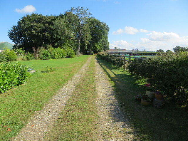
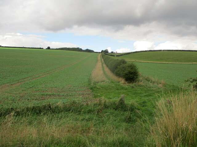
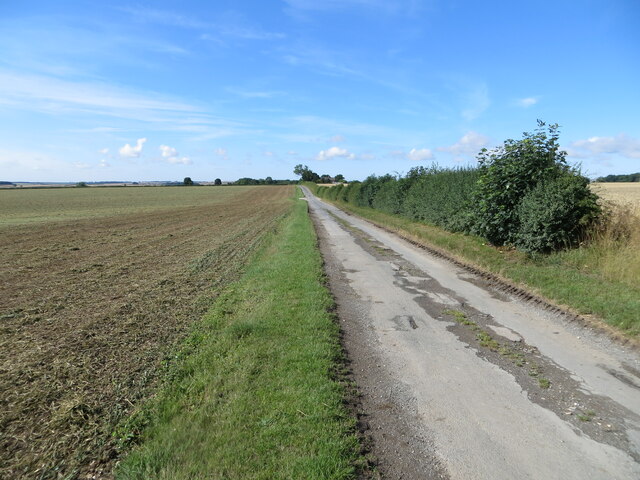
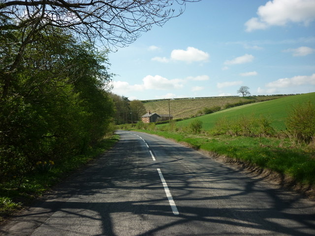
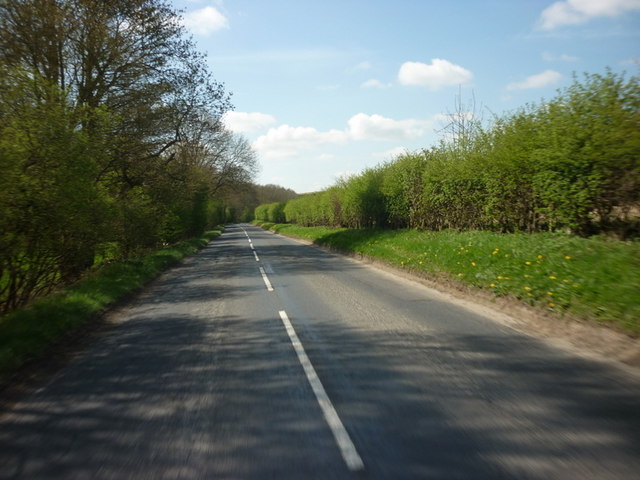
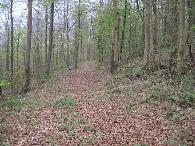
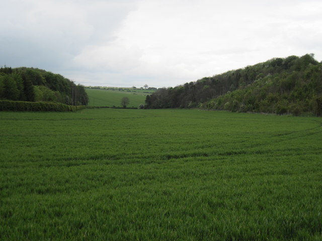
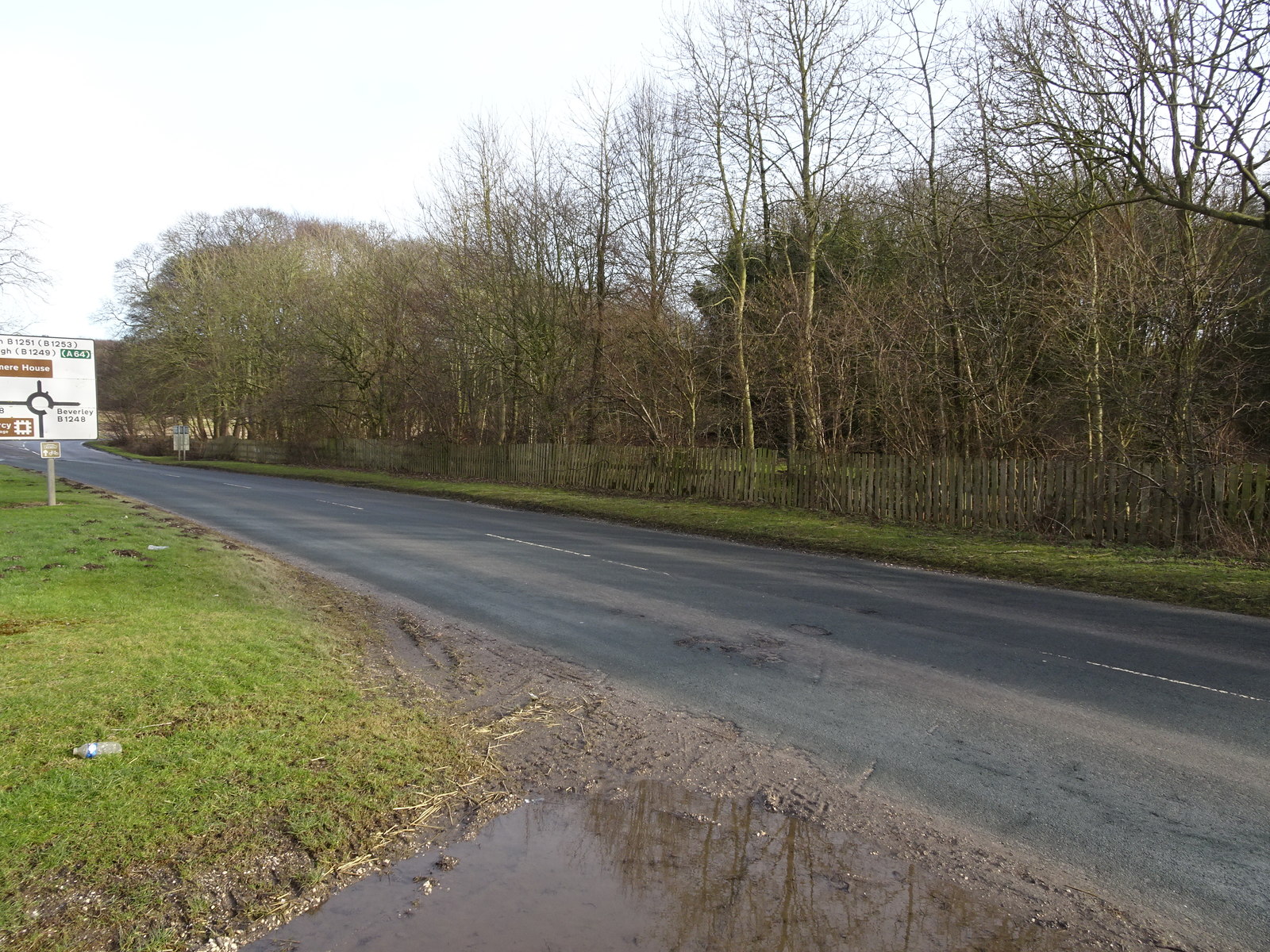
Medieval Village of Towthorpe (site of) Images

Images are sourced within 2km of 54.054688/-0.62850005 or Grid Reference SE8962. Thanks to Geograph Open Source API. All images are credited.

Track giving access to Towthorpe Manor Farm Looking north-westward.
Track giving access to Towthorpe Manor Farm
Looking north-westward.
Root  crop  in  fields  on  wold  side From dismantled railway line toward Ling Farm in the shelter belt trees left of centre. Crop used for sheep fodder over winter
Root crop in fields on wold side
From dismantled railway line toward Ling Farm in the shelter belt trees left of centre. Crop used for sheep fodder over winter
B1253  toward  Duggleby  Canada  Cottages  on  the  right
B1253 toward Duggleby Canada Cottages on the right
County  Boundary  on  Sledmere  to  Duggleby  road The sign beyond is Welcome to Ryedale
County Boundary on Sledmere to Duggleby road
The sign beyond is Welcome to Ryedale
Grass verge separating minor road from cultivated field Looking south-westward
Grass verge separating minor road from cultivated field
Looking south-westward
The B1251 towards Fimber Hill roundabout
Beech  Wood  along  York  Bank Masses of old Beech leaves litter this woodland path which goes along the bank before swinging right as it meets Egg Dale. This is private land on the Sledmere Estate.
Beech Wood along York Bank
Masses of old Beech leaves litter this woodland path which goes along the bank before swinging right as it meets Egg Dale. This is private land on the Sledmere Estate.
Fimber Grange
Fimber Grange
Broad  Dale  with  York  Bank  to  the  Right Behind the hedge to the left is the B1251 road to Sledmere
Broad Dale with York Bank to the Right
Behind the hedge to the left is the B1251 road to Sledmere
Kirby Grange, early Spring view Compare to the last image taken of the farm, an October view. <a href="https://www.geograph.org.uk/photo/2115233">SE9064 : Kirby Grange</a>
Kirby Grange, early Spring view
Compare to the last image taken of the farm, an October view. SE9064 : Kirby Grange
To Malton from the Fimber Roundabout B1248.
To Malton from the Fimber Roundabout
B1248.
View across York Band and Hasley Dale: aerial
From  Earthworks  to  Towthorpe From the path along the top of the earthworks along York Bank a steep wooded drop into York Dale. The B1251 Fimber to Sledmere runs in the bottom,a disused pit across the road to the right of the farm track which runs all the way to the trees on the horizon which shield Towthorpe Manor Farm and is also the site of the medieval village of Towthorpe.All land in this photo is private.
From Earthworks to Towthorpe
From the path along the top of the earthworks along York Bank a steep wooded drop into York Dale. The B1251 Fimber to Sledmere runs in the bottom,a disused pit across the road to the right of the farm track which runs all the way to the trees on the horizon which shield Towthorpe Manor Farm and is also the site of the medieval village of Towthorpe.All land in this photo is private.
Path  along  the  Earthworks  on  York  Bank This is a wonderful walk at any time of year through the Beech trees,fallen leaves are at times inches deep under your feet, it is though on the Sledmere Estate and private, but once a year in May a 23 mile walk goes through here called Capability's Overview, a money raised goes to Sledmere Parish Church.
Path along the Earthworks on York Bank
This is a wonderful walk at any time of year through the Beech trees,fallen leaves are at times inches deep under your feet, it is though on the Sledmere Estate and private, but once a year in May a 23 mile walk goes through here called Capability's Overview, a money raised goes to Sledmere Parish Church.
Through  the  Beech  Wood  on  York  Bank On the Sledmere Estate, a wonderful walk along the earthworks.
Through the Beech Wood on York Bank
On the Sledmere Estate, a wonderful walk along the earthworks.
Disused  barns  at  Towthorpe  Grange Soon to be converted to 11 separate dwellings or holiday homes. Full planning permission has already been granted.
Disused barns at Towthorpe Grange
Soon to be converted to 11 separate dwellings or holiday homes. Full planning permission has already been granted.
Track  from  Mowthorpe  Dale  to  Towthorpe  Grange A steady climb up the dale side, field mainly used for beef cattle.
Track from Mowthorpe Dale to Towthorpe Grange
A steady climb up the dale side, field mainly used for beef cattle.
Show me another place!

Medieval Village of Towthorpe (site of) is located at Grid Ref: SE8962 (Lat: 54.054688, Lng: -0.62850005)

Division: East Riding

Unitary Authority: East Riding of Yorkshire

Police Authority: Humberside

Also known as: Towthorpe

What 3 Words

///driveway.delusions.friday. Near Fimber, East Yorkshire

Related Wikis

Towthorpe, East Riding of Yorkshire

Towthorpe is a hamlet and former civil parish, now in the parish of Fimber, in the East Riding of Yorkshire, England. It is situated in the Yorkshire...

Sledmere and Fimber railway station

Sledmere and Fimber railway station was a railway station on the Malton & Driffield Railway in the East Riding of Yorkshire, England. == History == The...

Fimber

Fimber is a village and civil parish in the East Riding of Yorkshire, England. It is situated approximately 8 miles (13 km) north-west of Driffield town...

Yorkshire Wolds Railway

The Yorkshire Wolds Railway is a preserved railway in the East Riding of Yorkshire, England. It is located on a section of the Malton and Driffield Junction...

Nearby Amenities

Located within 500m of 54.054688,-0.62850005
Towthorpe
Is In: East Riding of Yorkshire, England, UK
Is In County: East Riding of Yorkshire
Place: hamlet
Wikidata: Q586039
Lat/Long: 54.0538614/-0.6254551
Site Of Medieval Village of Towthorpe
Historic: archaeological_site
Lat/Long: 54.0549748/-0.6260277
Generator Method: wind_turbine
Generator Source: wind
Power: generator
Lat/Long: 54.052473/-0.6301693
Power: pole
Lat/Long: 54.0547657/-0.623144
Power: pole
Lat/Long: 54.0554377/-0.6226023
Power: pole
Lat/Long: 54.0559534/-0.6220787
Power: pole
Lat/Long: 54.0532545/-0.6243568
Design: h-frame
Material: wood
Power: tower
Transformer: distribution
Lat/Long: 54.054092/-0.6237079
Power: pole
Lat/Long: 54.0524459/-0.6250188
Power: pole
Lat/Long: 54.0522886/-0.625871
Power: pole
Lat/Long: 54.0520942/-0.6270164
Power: pole
Lat/Long: 54.0525051/-0.6283297
Line Management: branch
Power: pole
Lat/Long: 54.0524635/-0.6284192
Power: pole
Lat/Long: 54.0519662/-0.6295525
Power: pole
Lat/Long: 54.05138/-0.6309071
Power: pole
Lat/Long: 54.0508306/-0.6321643
The data included in this document is from www.openstreetmap.org. The data is made available under ODbL.

Have you been to Medieval Village of Towthorpe (site of)?

Leave your review of Medieval Village of Towthorpe (site of) below (or comments, questions and feedback).