Medomsley Edge

Settlement in Durham

England

Medomsley Edge

The Chelmsford, Ebchester.
The Chelmsford, Ebchester. Credit: Ann Hodgson

The requested URL returned error: 429 Too Many Requests

If you have any feedback on the listing, please let us know in the comments section below.

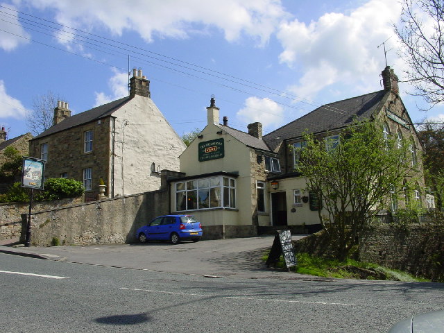
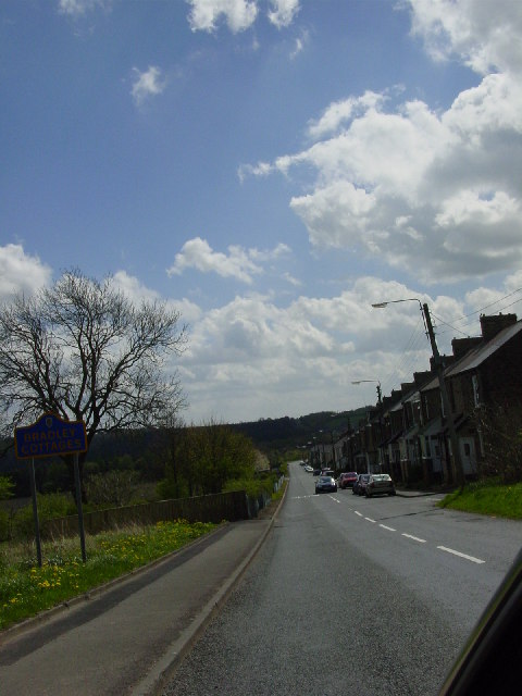
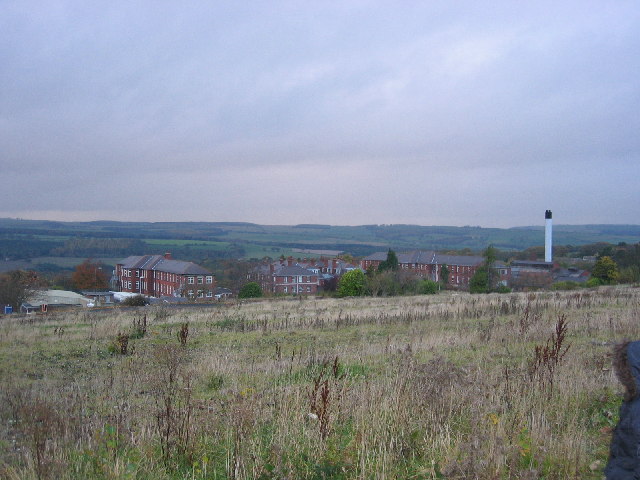
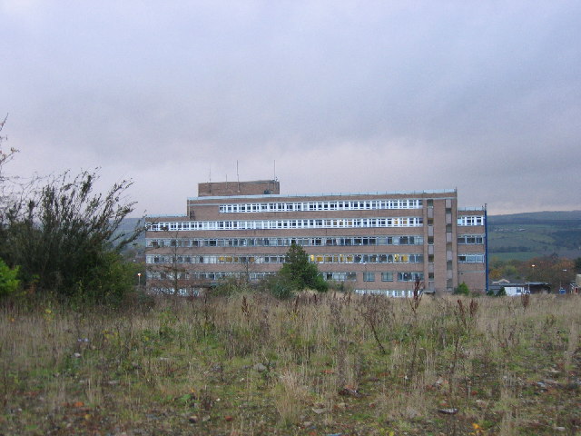
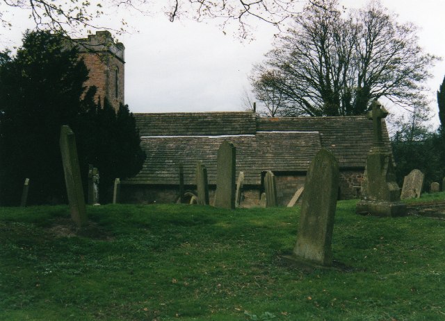
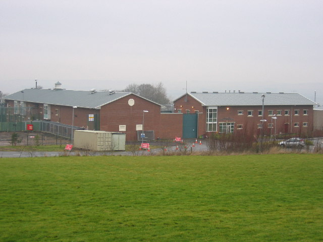
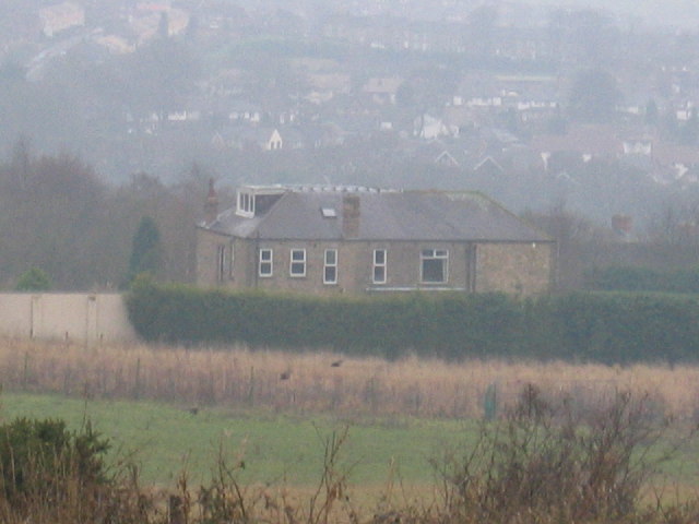
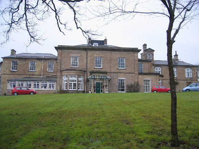
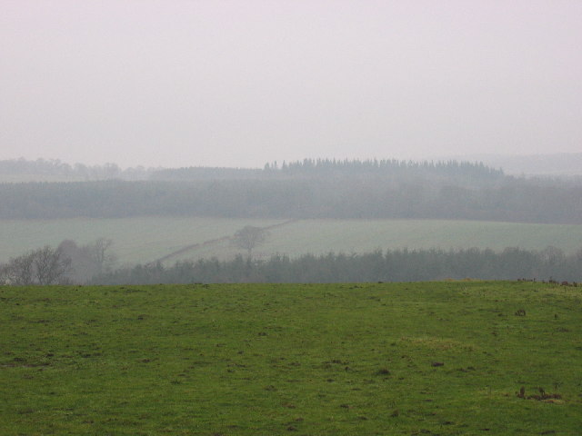
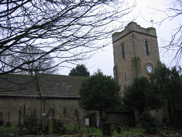
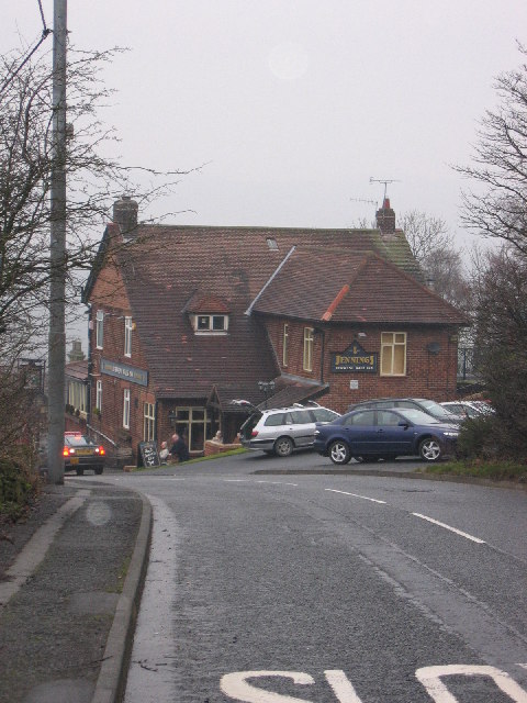
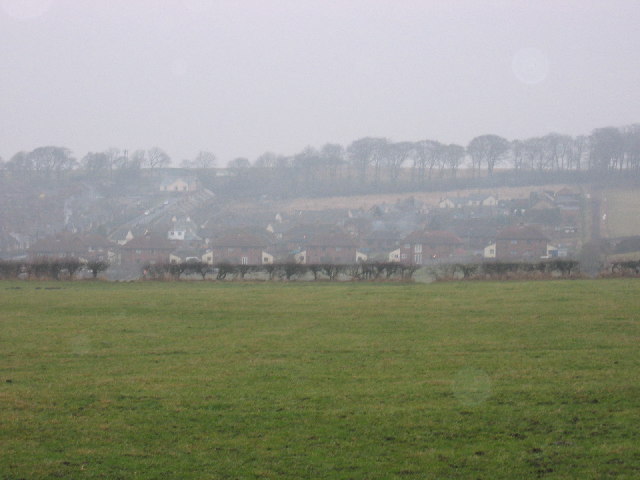
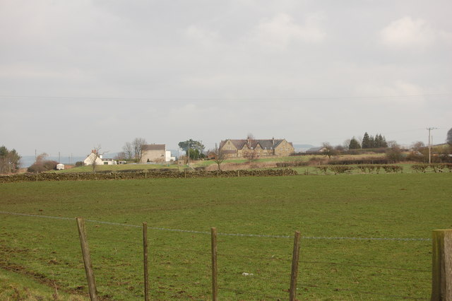
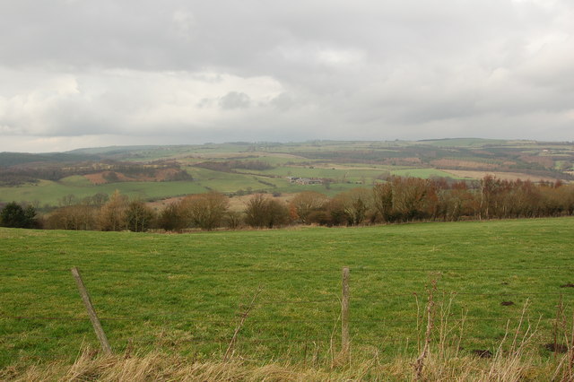
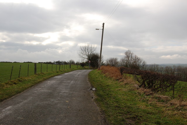
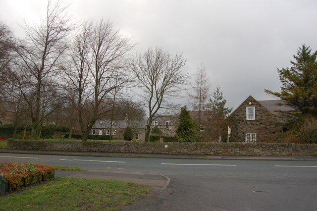
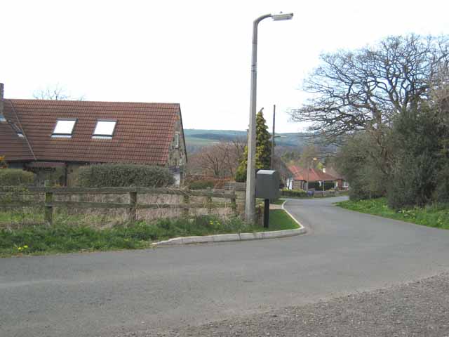
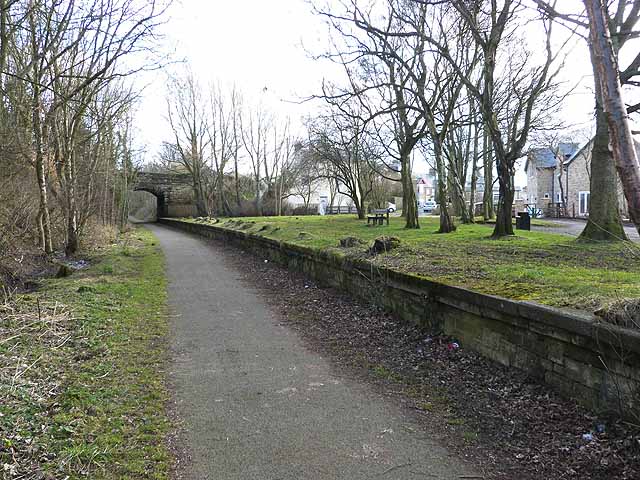
Medomsley Edge Images

Images are sourced within 2km of 54.879595/-1.8295873 or Grid Reference NZ1153. Thanks to Geograph Open Source API. All images are credited.

The Chelmsford, Ebchester.
Bradley Cottages, Pont Lane,  Leadgate
Bradley Cottages, Pont Lane, Leadgate
Shotley Bridge Hospital View of the old hospital buildings no longer in use today, the current and new hospital buildings out of shot to the left.
Shotley Bridge Hospital
View of the old hospital buildings no longer in use today, the current and new hospital buildings out of shot to the left.
Shotley Bridge Hospital View of the current main hospital building in use today, the old hospital buildings out of shot to the right.
Shotley Bridge Hospital
View of the current main hospital building in use today, the old hospital buildings out of shot to the right.
Church & churchyard of St Ebba Ebchester
Bunker Hill Farmhouse Bunker hill farm house and buildings as seen from No1 Industrial estate.
Bunker Hill Farmhouse
Bunker hill farm house and buildings as seen from No1 Industrial estate.
Hassockfield STC Hassockfield Secure Training Centre main entrance buildings located in old disused quarry.
Hassockfield STC
Hassockfield Secure Training Centre main entrance buildings located in old disused quarry.
Summerhill House Main building showing Summerhill house running alongside Elm Park Burn to the far left and Derwent Walk running through from left to right (Left to Consett and right to Swallwell).
Summerhill House
Main building showing Summerhill house running alongside Elm Park Burn to the far left and Derwent Walk running through from left to right (Left to Consett and right to Swallwell).
Shotley Park Home Shotley Park home now used as a carehome for the elderly and located in the main grounds of Shotley Park.
Shotley Park Home
Shotley Park home now used as a carehome for the elderly and located in the main grounds of Shotley Park.
Panshield Hags View of part of Panshield Hags in background with wooded area in centre and Derwent River running from left to right below wooded area.
Panshield Hags
View of part of Panshield Hags in background with wooded area in centre and Derwent River running from left to right below wooded area.
Ebchester Church Ebchester Church shown from wall to left of main gates.  Tower building shown on the right and attached sub buildings on the left.  Small selection of graves also in shot and marked for reclamation.
Ebchester Church
Ebchester Church shown from wall to left of main gates. Tower building shown on the right and attached sub buildings on the left. Small selection of graves also in shot and marked for reclamation.
Derwent Walk Inn View of Derwent Walk Inn going down Broom Hill bank.  This pub is situated right on a crosslink with the Derwent Walk running from the left (Consett) to the Right (Swallwell).
Derwent Walk Inn
View of Derwent Walk Inn going down Broom Hill bank. This pub is situated right on a crosslink with the Derwent Walk running from the left (Consett) to the Right (Swallwell).
The Dene View of the entire small estate called The Dene situated near the main road of the village Medomsley.
The Dene
View of the entire small estate called The Dene situated near the main road of the village Medomsley.
High Westwood
High Westwood
Trees, fence and field near High Westwood
Road to Ebchester from High Westwood
Cottages Medomsley
Cottages Medomsley
Springhouse Lane, Ebchester A winding country lane, along which bungalows have been built on the edge of the village.
Springhouse Lane, Ebchester
A winding country lane, along which bungalows have been built on the edge of the village.
Show me another place!

Medomsley Edge is located at Grid Ref: NZ1153 (Lat: 54.879595, Lng: -1.8295873)

Unitary Authority: County Durham

Police Authority: Durham

What 3 Words

///confident.dries.found. Near Consett, Co. Durham

Nearby Locations

Quarry Hill Medomsley Edge

Related Wikis

Ebchester

Ebchester is a village in County Durham, England. It is situated to the north of Consett and to the south east of Whittonstall and the hamlet of Newlands...

Broom Hill, County Durham

Broom Hill is a small village in County Durham, England. It is situated to the north of Consett, near Ebchester and Medomsley. == References ==

Shotley Bridge railway station

Shotley Bridge railway station served the village of Shotley Bridge, County Durham, England from 1867 to 1953 on the Derwent Valley Railway. == History... ==

Medomsley

Medomsley is a village in County Durham, England. It is about 2 miles (3 km) northeast of the centre of Consett, 1+1⁄2 miles (2 km) south of Hamsterley...

Nearby Amenities

Located within 500m of 54.879595,-1.8295873
Bus Stop
West View
Naptan AtcoCode: 13001652D
Naptan Bearing: SE
Naptan BusStopType: MKD
Naptan CommonName: West View
Naptan Indicator: SE-bound
Naptan NaptanCode: duragtmw
Naptan RevisionNumber: 3
Naptan Street: B6309 - West View
Naptan Verified: no
Old Name: Detention Centre
Source: naptan_import
Lat/Long: 54.8773519/-1.8273007
Bus Stop
West View
Naptan AtcoCode: 13001652H
Naptan Bearing: NW
Naptan BusStopType: MKD
Naptan CommonName: West View
Naptan Indicator: NW-bound
Naptan NaptanCode: duragtpa
Naptan RevisionNumber: 3
Naptan Street: B6309 - West View
Naptan Verified: no
Old Name: Detention Centre
Source: naptan_import
Lat/Long: 54.8779733/-1.828202
Bus Stop
Broomhill Terrace
Bus: yes
Naptan AtcoCode: 13001653B
Naptan Bearing: NE
Naptan CommonName: Broomhill Terrace
Naptan Indicator: north east bound
Naptan Landmark: Landmark not known
Naptan NaptanCode: duragtpd
Naptan Notes: Between no 10 + no 30 broomhill terrace- consett- dh8 6ph
Naptan Street: B6310 - Broomhill Terrace
Naptan Verified: no
Public Transport: platform
Shelter: yes
Source: naptan_import
Lat/Long: 54.8802193/-1.8277872
Bus Stop
Broomhill Terrace
Bench: no
Bin: no
Bus: yes
Naptan AtcoCode: 13001653F
Naptan Bearing: SW
Naptan CommonName: Broomhill Terrace
Naptan Indicator: south west bound
Naptan Landmark: Landmark not known
Naptan NaptanCode: duragtpg
Naptan Notes: between no 10 & no 30 broomhill terrace- consett- dh8 6ph
Naptan Street: B6310 - Broomhill Terrace
Naptan Verified: no
Public Transport: platform
Shelter: no
Source: naptan_import
Lat/Long: 54.8800129/-1.8280063
Bus Stop
Belle Vue
Naptan AtcoCode: 13001733B
Naptan Bearing: NE
Naptan CommonName: Belle Vue
Naptan Indicator: north east bound
Naptan Landmark: Landmark not known
Naptan NaptanCode: durajdtw
Naptan Notes: 65 m SW of junction with B6309 -belle vue- consett- dh8 6pf
Naptan Street: B6310 - Daisy Hill
Naptan Verified: no
Source: naptan_import
Lat/Long: 54.8788231/-1.8318611
Bus Stop
Belle Vue
Naptan AtcoCode: 13001733F
Naptan Bearing: SW
Naptan CommonName: Belle Vue
Naptan Indicator: south west bound
Naptan Landmark: Landmark not known
Naptan NaptanCode: durajdwa
Naptan Notes: On B6310- 103 m SW of junction with B6309daisy hill- consett- dh8 6sb
Naptan Street: B6310 - Daisy Hill
Naptan Verified: no
Source: naptan_import
Lat/Long: 54.8783567/-1.8325176
Bus Stop
Daisy Hill
Naptan AtcoCode: 13001734B
Naptan Bearing: NE
Naptan CommonName: Daisy Hill
Naptan Indicator: north east bound
Naptan Landmark: Landmark not known
Naptan NaptanCode: durajdwd
Naptan Notes: N 47.5 m NE of no 1 daisy hill- consett- dh8 6sb
Naptan Street: B6310 - Daisy Hill
Naptan Verified: no
Source: naptan_import
Lat/Long: 54.8779453/-1.8339532
Bus Stop
Daisy Hill
Naptan AtcoCode: 13001734F
Naptan Bearing: SW
Naptan CommonName: Daisy Hill
Naptan Indicator: south west bound
Naptan Landmark: Landmark not known
Naptan NaptanCode: durajdwg
Naptan Notes: N 27.5m NE of no.1 daisy hill- consett- dh8 6sb
Naptan Street: B6310 - Daisy Hill
Naptan Verified: no
Source: naptan_import
Lat/Long: 54.8777297/-1.834032
Bus Stop
Glebe Farm
Naptan AtcoCode: 13001803D
Naptan Bearing: N
Naptan CommonName: Glebe Farm
Naptan Indicator: north bound
Naptan Landmark: Landmark not known
Naptan NaptanCode: durajpgt
Naptan Notes: On B6309 in front of No 4 Rose terrace- Medomsley Cross Roads
Naptan Street: B6309
Naptan Verified: no
Source: naptan_import
Lat/Long: 54.8827416/-1.8321097
Bus Stop
Glebe Farm
Naptan AtcoCode: 13001803H
Naptan Bearing: S
Naptan CommonName: Glebe Farm
Naptan Indicator: south bound
Naptan Landmark: Landmark not known
Naptan NaptanCode: durajpgw
Naptan Notes: opposite side garden to N0 4 Rose terrace on B6309- Medomsley Cross Roads
Naptan Street: B6309
Naptan Verified: no
Source: naptan_import
Lat/Long: 54.882553/-1.8321729
Bus Stop
Rose Terrace
Naptan AtcoCode: 13001808D
Naptan Bearing: SE
Naptan CommonName: Rose Terrace
Naptan Indicator: south east bound
Naptan Landmark: Landmark not known
Naptan NaptanCode: durajpjp
Naptan Notes: opposite side garden to No 4 Rose Terrace on B6309- Medomsley Cross Roads
Naptan Street: B6309
Naptan Verified: no
Source: naptan_import
Lat/Long: 54.8799166/-1.8297835
Bus Stop
Rose Terrace
Naptan AtcoCode: 13001808H
Naptan Bearing: NW
Naptan CommonName: Rose Terrace
Naptan Indicator: north west bound
Naptan Landmark: Landmark not known
Naptan NaptanCode: durajpjt
Naptan Notes: On B6309 in front of No 4 Rose Terrace- Medomsley Cross Roads
Naptan Street: B6309
Naptan Verified: no
Source: naptan_import
Lat/Long: 54.8798898/-1.8299239
Bus Stop
Hill Crest Cottage
Naptan AtcoCode: 13001809D
Naptan Bearing: SE
Naptan CommonName: Hill Crest Cottage
Naptan Indicator: south east bound
Naptan Landmark: opposite Glebe Farm
Naptan NaptanCode: durajpma
Naptan Street: B6309
Naptan Verified: no
Source: naptan_import
Lat/Long: 54.8833893/-1.8325902
The data included in this document is from www.openstreetmap.org. The data is made available under ODbL.

Have you been to Medomsley Edge?

Leave your review of Medomsley Edge below (or comments, questions and feedback).