Mayfield

Settlement in Ayrshire

Scotland

Mayfield

'The Burning Place' - Saltcoats, North Ayrshire The Burning Place of Sarah Vincent of Saltcoats.
 
 Sarah Vincent was the last witch to be executed in Saltcoats.
The inscription has been worn away, but the word Saltcoats can still be seen.
'The Burning Place' - Saltcoats, North Ayrshire Credit: Raibeart MacAoidh

Mayfield is a small village located in Ayrshire, Scotland. It is situated approximately 5 miles southwest of the town of Kilmarnock and is surrounded by picturesque countryside. The village is known for its peaceful and tranquil atmosphere, making it an ideal place for those looking to escape the hustle and bustle of city life.

Mayfield is home to a close-knit community, with residents often coming together for various events and activities. The village has a primary school, church, and a few local shops and amenities, providing everything residents need for day-to-day living.

The surrounding area offers plenty of opportunities for outdoor recreation, including walking, cycling, and fishing. The nearby River Irvine is a popular spot for anglers, while the rolling hills and fields provide a beautiful backdrop for leisurely strolls.

Overall, Mayfield is a charming village with a strong sense of community and an abundance of natural beauty. It offers a peaceful and idyllic setting for those looking to enjoy a slower pace of life in the heart of Ayrshire.

If you have any feedback on the listing, please let us know in the comments section below.
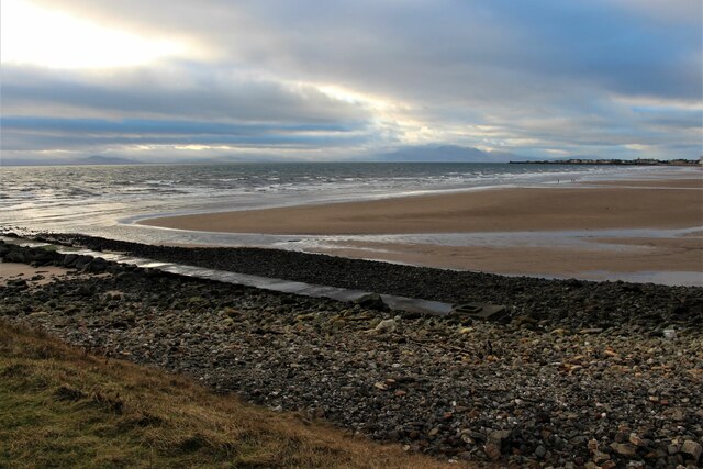
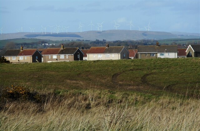
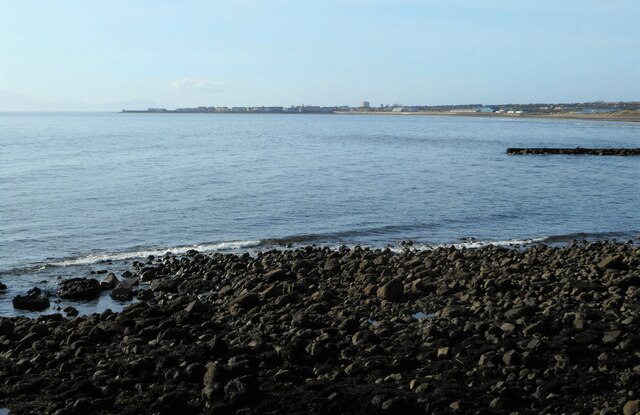
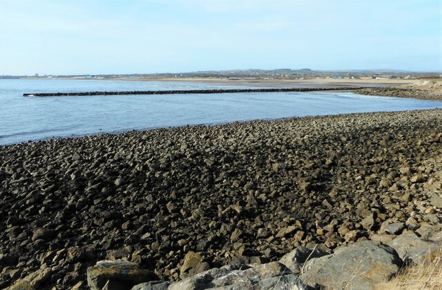
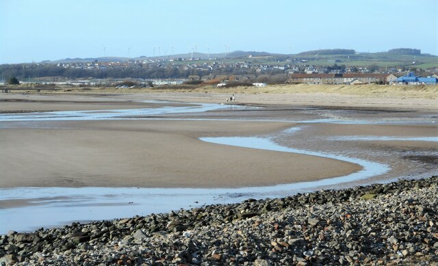
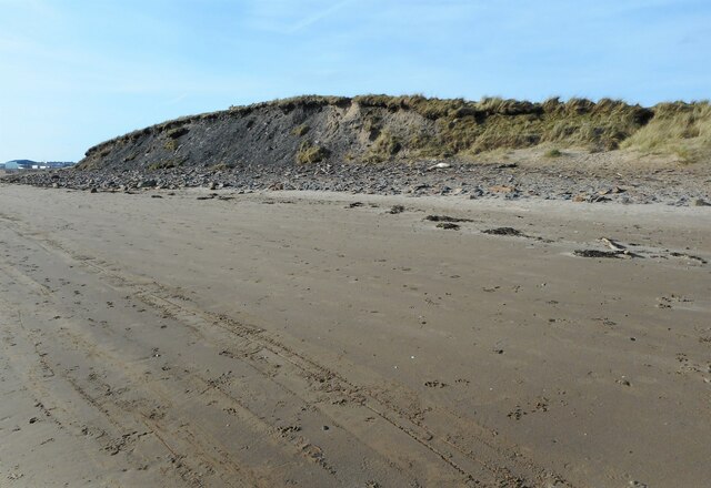
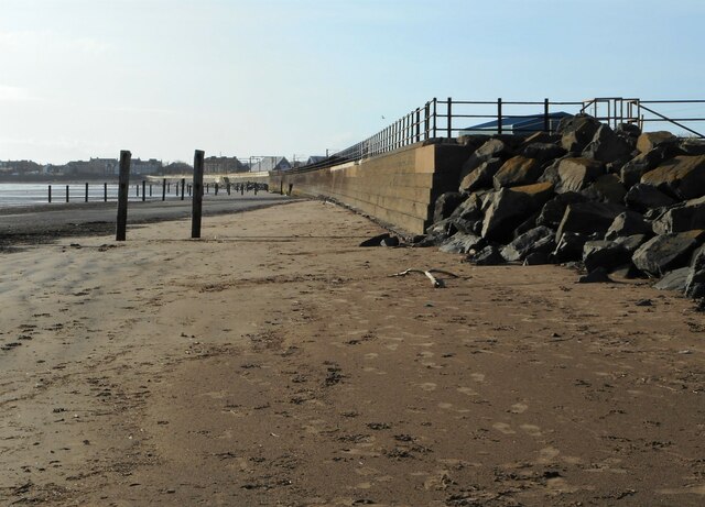
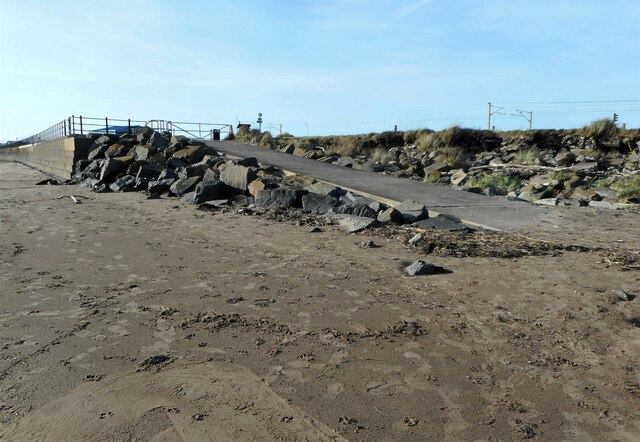
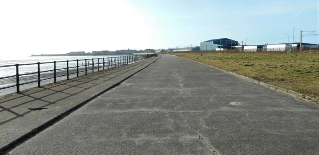
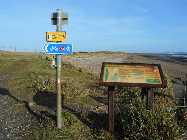
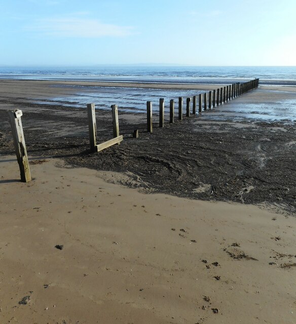
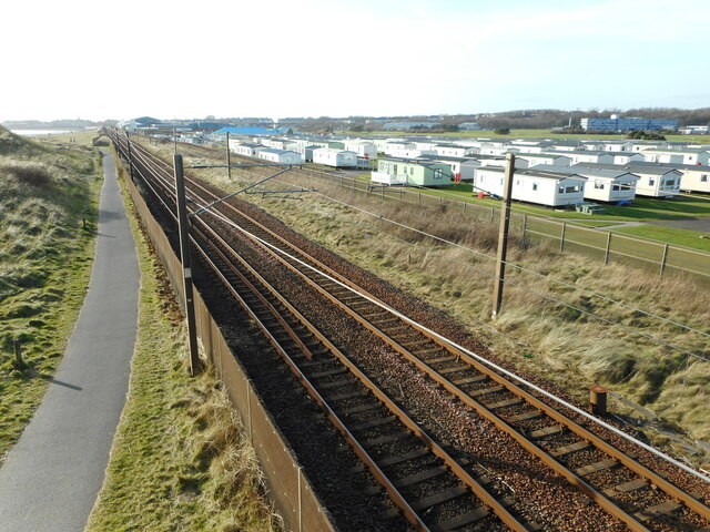
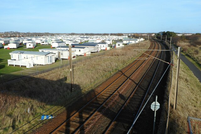
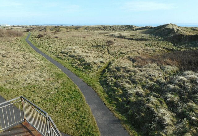
Mayfield Images

Images are sourced within 2km of 55.640986/-4.7642764 or Grid Reference NS2642. Thanks to Geograph Open Source API. All images are credited.

'The Burning Place' - Saltcoats, North Ayrshire The Burning Place of Sarah Vincent of Saltcoats.
 
 Sarah Vincent was the last witch to be executed in Saltcoats.
The inscription has been worn away, but the word Saltcoats can still be seen.
'The Burning Place' - Saltcoats, North Ayrshire
The Burning Place of Sarah Vincent of Saltcoats. Sarah Vincent was the last witch to be executed in Saltcoats. The inscription has been worn away, but the word Saltcoats can still be seen.
A1 Service bus on Dalry Road, Saltcoats – 1970 The housing here was still in the course of development, as compared with this 2009 view taken around 200 metres further north <a title="https://www.geograph.org.uk/photo/1596231" href="https://www.geograph.org.uk/photo/1596231">Link</a> .

A1 Service was a consortium of a number of local bus operators who ran a network of local services in the Ardrossan/Irvine area as well as a trunk service between Ardrossan and Kilmarnock. OFS968 is a former Edinburgh Corporation Guy Arab IV with Alexander bodywork on local service to the Hayocks area of Stevenston.

This is one of a series of views featuring buses in the 60s, 70s, and 80s. <a title="https://www.geograph.org.uk/search.php?i=137652761" href="https://www.geograph.org.uk/search.php?i=137652761">Link</a>
A1 Service bus on Dalry Road, Saltcoats – 1970
The housing here was still in the course of development, as compared with this 2009 view taken around 200 metres further north Link . A1 Service was a consortium of a number of local bus operators who ran a network of local services in the Ardrossan/Irvine area as well as a trunk service between Ardrossan and Kilmarnock. OFS968 is a former Edinburgh Corporation Guy Arab IV with Alexander bodywork on local service to the Hayocks area of Stevenston. This is one of a series of views featuring buses in the 60s, 70s, and 80s. Link
Landsborough and Trinity Church
Countess Street and the Town Hall
Beach and foreshore at Stevenston
Houses on Trelawny Terrace The edge of Stevenston. In the far distance are turbines of the Ardrossan Wind Farm.
Houses on Trelawny Terrace
The edge of Stevenston. In the far distance are turbines of the Ardrossan Wind Farm.
View towards Saltcoats From Stevenston Point.
View towards Saltcoats
From Stevenston Point.
Outfall pipe Seen from Stevenston Point.
Outfall pipe
Seen from Stevenston Point.
Low tide The tide is out, exposing the sandy beach west of Stevenston Point.
Low tide
The tide is out, exposing the sandy beach west of Stevenston Point.
Eroding bluff, Stevenston Beach This slightly higher area of ground is being eroded by the sea. As a result, the beach here has many loose rocks in amongst the sand.
Eroding bluff, Stevenston Beach
This slightly higher area of ground is being eroded by the sea. As a result, the beach here has many loose rocks in amongst the sand.
Sea wall and groynes The end of the sea wall and groynes on Stevenston Beach.
Sea wall and groynes
The end of the sea wall and groynes on Stevenston Beach.
Slipway onto Stevenston Beach At the end of Seaview Road. The large rocks are to prevent erosion.
Slipway onto Stevenston Beach
At the end of Seaview Road. The large rocks are to prevent erosion.
Seaview Road Looking from the end of the road towards Saltcoats.
Seaview Road
Looking from the end of the road towards Saltcoats.
Signs above the beach The large panel describes the sand dune system at Stevenston Beach. The sand dune system was declared a Local Nature Reserve by North Ayrshire Council in 1998.

The other signs direct walkers and cyclists inland of the dunes beside the railway line on National Cycle Route 73.
Signs above the beach
The large panel describes the sand dune system at Stevenston Beach. The sand dune system was declared a Local Nature Reserve by North Ayrshire Council in 1998. The other signs direct walkers and cyclists inland of the dunes beside the railway line on National Cycle Route 73.
Beach groyne On Stevenston Beach.
Beach groyne
On Stevenston Beach.
Railway to Ardrossan Sandylands Holiday Park is beside the line.
Railway to Ardrossan
Sandylands Holiday Park is beside the line.
Railway from Ardrossan Sandylands Holiday Park is beside the line.
Railway from Ardrossan
Sandylands Holiday Park is beside the line.
Path beside the dunes The sand dune system at Stevenston was declared a Local Nature Reserve by North Ayrshire Council in 1998.
Path beside the dunes
The sand dune system at Stevenston was declared a Local Nature Reserve by North Ayrshire Council in 1998.
Show me another place!

Mayfield is located at Grid Ref: NS2642 (Lat: 55.640986, Lng: -4.7642764)

Unitary Authority: North Ayrshire

Police Authority: Ayrshire

What 3 Words

///movie.applause.grafted. Near Stevenston, North Ayrshire

Related Wikis

Auchenharvie

Auchenharvie is an area of Stevenston, North Ayrshire in Scotland. There are therefore several local institutions, organizations and businesses that use...

Stevenston

Stevenston (Scots: Stinstoun, Scottish Gaelic: Baile Steaphain) is a town and parish in North Ayrshire, Scotland. Along with Ardrossan and Saltcoats it...

Stevenston Moorpark railway station

Stevenston Moorpark railway station was a railway station serving the town of Stevenston, North Ayrshire, Scotland as part of the Lanarkshire and Ayrshire...

Kerelaw House

Kerelaw House was part of the former Kerelaw Estate situated on the west coast of Ayrshire, Scotland, in the town of Stevenston. == History == The house...

Nearby Amenities

Located within 500m of 55.640986,-4.7642764
Mini Roundabout
Direction: clockwise
Lat/Long: 55.6377509/-4.7648217
Pub
Cross Keys
Addr City: Stevenston
Addr Housenumber: 1
Addr Postcode: KA20 3EH
Addr Street: Fullarton Place
Lat/Long: 55.6408241/-4.757128
Bar
Potters
Lat/Long: 55.640491/-4.7578279
Turning Circle
Lat/Long: 55.6437628/-4.7613218
Stevenston
Name En: Stevenston
Name Gd: Baile Steaphain
Name Sco: Stinson
Place: town
Population: 9129
Wikidata: Q2376078
Wikipedia: en:Stevenston
Lat/Long: 55.6405878/-4.756814
Crossing
Crossing: traffic_signals
Lat/Long: 55.6408555/-4.7564824
Bus Stop
Bus: yes
Public Transport: platform
Lat/Long: 55.6408228/-4.7568839
Bus Stop
Bus: yes
Public Transport: platform
Lat/Long: 55.640897/-4.7566264
Bus Stop
Bus: yes
Naptan AtcoCode: 6170586
Naptan NaptanCode: 62923692
Public Transport: platform
Lat/Long: 55.6371369/-4.7676863
Fuel
Esso
Brand: Esso
Brand Wikidata: Q867662
Operator: Esso
Lat/Long: 55.6386579/-4.7623359
Turning Loop
Lat/Long: 55.6400702/-4.7691348
Bus Stop
Bus: yes
Naptan AtcoCode: 6170351
Naptan NaptanCode: 62924258
Public Transport: platform
Lat/Long: 55.6385755/-4.762926
Bus Stop
Bus: yes
Public Transport: platform
Lat/Long: 55.6392757/-4.7616814
Generator Method: photovoltaic
Generator Output Electricity: yes
Generator Source: solar
Generator Type: solar_photovoltaic_panel
Power: generator
Lat/Long: 55.6424248/-4.7643903
Power: pole
Lat/Long: 55.6447124/-4.7666621
The data included in this document is from www.openstreetmap.org. The data is made available under ODbL.

Have you been to Mayfield?

Leave your review of Mayfield below (or comments, questions and feedback).