Marshaw

Settlement in Lancashire Lancaster

England

Marshaw

Hungry Sheep On Hind Hill, they looked a bit cold. Taken from near Pennington Wood looking towards Tarnbrook Fell. Should be the last Geograph for Hectad SD55.
Hungry Sheep Credit: Michael Graham

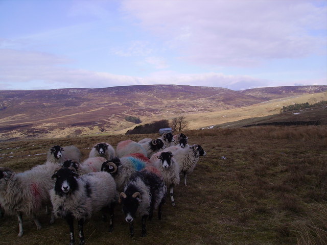
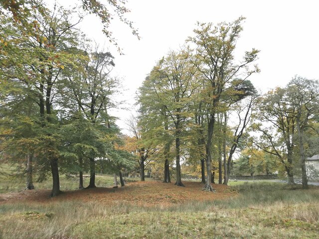
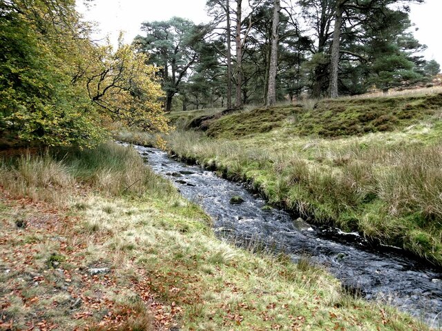
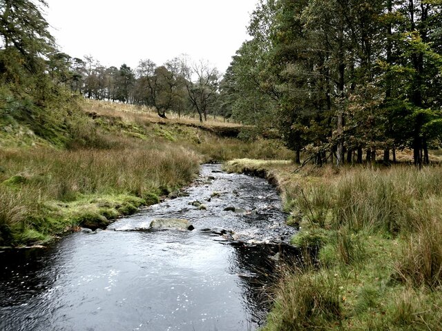
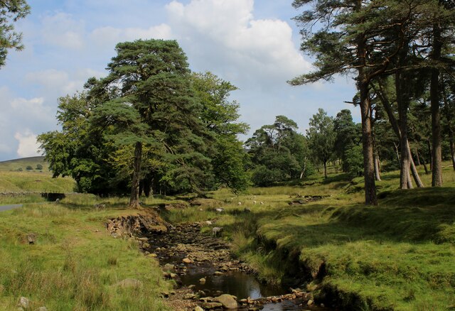
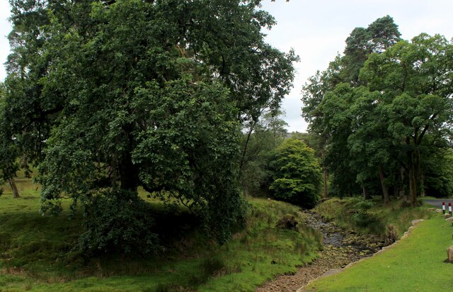
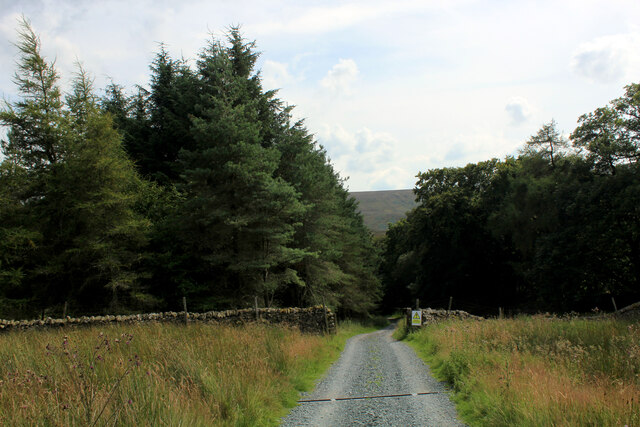
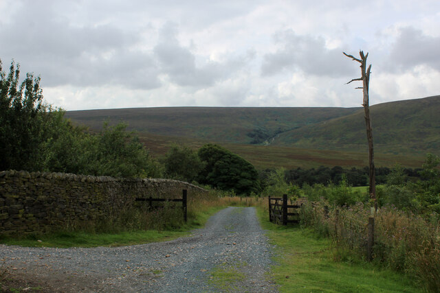
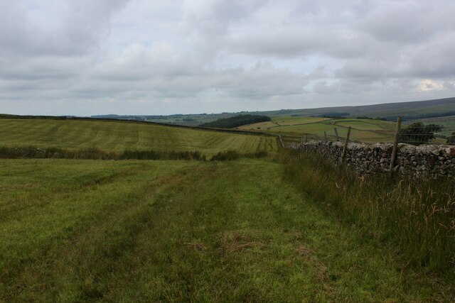
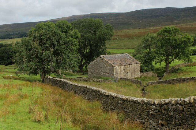
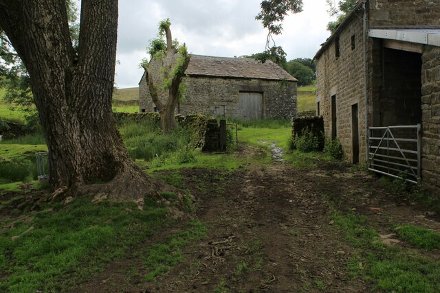
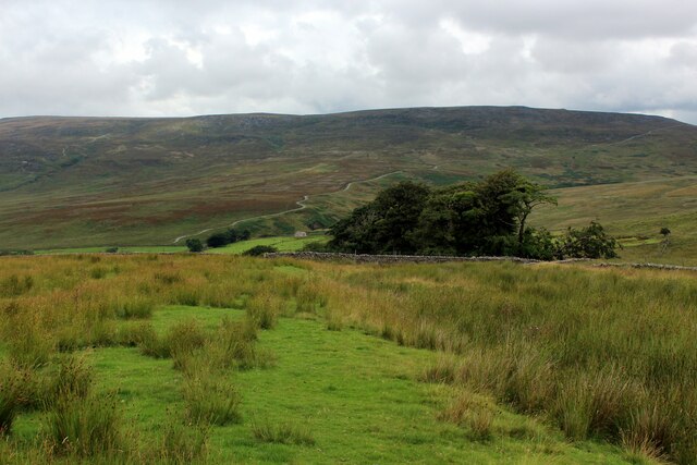
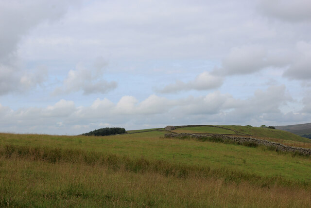
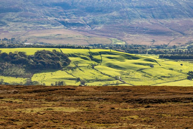
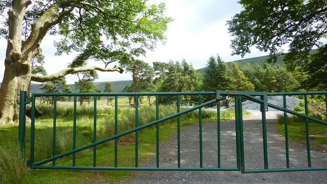
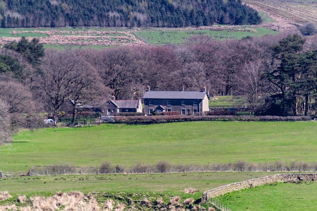
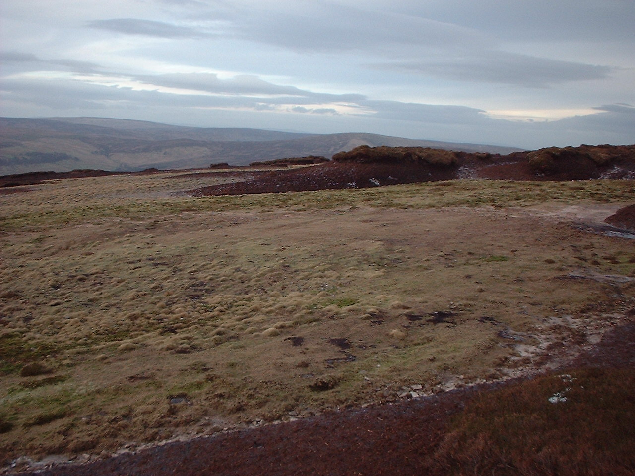
Marshaw is a small village located in the county of Lancashire, in the northwest of England. Situated on the outskirts of the Forest of Bowland, it lies approximately 9 miles northeast of Preston and 30 miles northwest of Manchester. The village is nestled in a picturesque rural setting, surrounded by rolling hills, open fields, and woodlands.

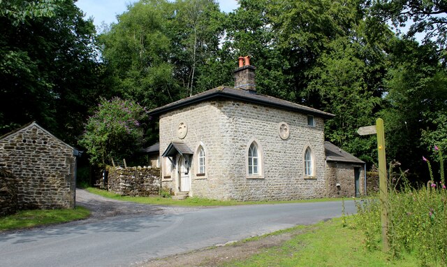
Despite its small size, Marshaw boasts a rich history dating back centuries. The village is known for its traditional stone-built houses and charming, narrow streets, which add to its quaint and idyllic character. St. Mary's Church, a Grade II listed building, stands prominently in the heart of the village and serves as a focal point for the local community.

Agriculture has been a significant part of Marshaw's economy throughout its history, with farming activities still playing a role in the village's livelihood. Additionally, the area is popular for outdoor enthusiasts, hikers, and cyclists, who are drawn to the stunning landscapes and abundant wildlife that can be found in the surrounding countryside.

Although Marshaw is predominantly residential, there are a few amenities available to its residents. These include a village hall, a primary school, and a local pub, providing essential services and a sense of community. For more extensive facilities, residents can easily access nearby towns such as Longridge or Preston, where a wider range of amenities, shops, and services can be found.

Marshaw's peaceful and natural environment, combined with its close proximity to larger towns and cities, makes it an attractive place to live for those seeking a tranquil rural lifestyle within easy reach of urban conveniences.

If you have any feedback on the listing, please let us know in the comments section below.

Marshaw Images

Images are sourced within 2km of 53.975257/-2.6259745 or Grid Reference SD5953. Thanks to Geograph Open Source API. All images are credited.

Hungry Sheep On Hind Hill, they looked a bit cold. Taken from near Pennington Wood looking towards Tarnbrook Fell. Should be the last Geograph for Hectad SD55.
Hungry Sheep
On Hind Hill, they looked a bit cold. Taken from near Pennington Wood looking towards Tarnbrook Fell. Should be the last Geograph for Hectad SD55.
Autumn colours In a strip of woodland alongside the River Marshaw to the west of the Forest of Bowland.
Autumn colours
In a strip of woodland alongside the River Marshaw to the west of the Forest of Bowland.
Fallen tree In a strip of woodland alongside the River Marshaw Wyre to the west of the Forest of Bowland.
Fallen tree
In a strip of woodland alongside the River Marshaw Wyre to the west of the Forest of Bowland.
River Marshaw Wyre In a strip of woodland alongside the river to the west of the Forest of Bowland.
River Marshaw Wyre
In a strip of woodland alongside the river to the west of the Forest of Bowland.
River Marshaw Wyre In a strip of woodland alongside the river to the west of the Forest of Bowland.
River Marshaw Wyre
In a strip of woodland alongside the river to the west of the Forest of Bowland.
Marshaw Wyre looking Upstream The river near Tower Lodge, enclosed by a delightful strip of woodland along side the Trough Road in Bowland
Marshaw Wyre looking Upstream
The river near Tower Lodge, enclosed by a delightful strip of woodland along side the Trough Road in Bowland
Marshaw Wyre looking Downstream River in a delightful strip of woodland beside the Trough Road. Further downstream the watercourse will unite with the Tarnbrook Wyre, to become the plain old Wyre. It enters the Irish Sea at Fleetwood.
Marshaw Wyre looking Downstream
River in a delightful strip of woodland beside the Trough Road. Further downstream the watercourse will unite with the Tarnbrook Wyre, to become the plain old Wyre. It enters the Irish Sea at Fleetwood.
Tower Lodge Located on the Trough Road beside the Marshaw Wyre river.
Built as the lodge house for the uncompleted Wyresdale Tower Shooting House, and now a Grade II Listed Building.
The Wyre Way long distance footpath passes up the track to the left, giving access to the fells around Tarnbrook.
Tower Lodge
Located on the Trough Road beside the Marshaw Wyre river. Built as the lodge house for the uncompleted Wyresdale Tower Shooting House, and now a Grade II Listed Building. The Wyre Way long distance footpath passes up the track to the left, giving access to the fells around Tarnbrook.
Wyre Way descending into Tower Plantation Adopted a well appointed track that descends through plantation to Tower Lodge on the Trough Road
Wyre Way descending into Tower Plantation
Adopted a well appointed track that descends through plantation to Tower Lodge on the Trough Road
Descending towards Tower Plantation
Field beside White Moor
Stone Barn at Spreight Clough Stone barn in the valley of the Tarnbrook Wyre. Passed by on the Wyre Way long distance footpath.
Stone Barn at Spreight Clough
Stone barn in the valley of the Tarnbrook Wyre. Passed by on the Wyre Way long distance footpath.
Spreight Clough Farm outbuildings in the secluded valley of the Tarnbrook Wyre.
Passed by on the Wyre Way long distance footpath.
Spreight Clough
Farm outbuildings in the secluded valley of the Tarnbrook Wyre. Passed by on the Wyre Way long distance footpath.
Wyre Way heading towards Harry Wood The long distance footpath descending into the Upper Tarnbrook Wyre Valley
Wyre Way heading towards Harry Wood
The long distance footpath descending into the Upper Tarnbrook Wyre Valley
Field beside Harry Wood As seen from the Wyre Way long distance footpath
Field beside Harry Wood
As seen from the Wyre Way long distance footpath
Greenside Hill
Greenside Hill
Gate to Marshaw Wyre
The Shooting Box The Shooting Box at Hangington Clough Bridge.
The Shooting Box
The Shooting Box at Hangington Clough Bridge.
Show me another place!

Marshaw is located at Grid Ref: SD5953 (Lat: 53.975257, Lng: -2.6259745)

Administrative County: Lancashire

District: Lancaster

Police Authority: Lancashire

What 3 Words

///nibbles.tabs.stubbed. Near Bay Horse, Lancashire

Related Wikis

National nature reserves in Lancashire

National nature reserves in Lancashire in England are established by Natural England. There are two national nature reserves in Lancashire, both of which...

Hawthornthwaite Fell

Hawthornthwaite Fell is one of the larger hills in the Forest of Bowland in the north west of England. Hawthornthwaite Fell marks the extreme western limit...

Abbeystead House

Abbeystead House is a large country house to the east of the village of Abbeystead, Lancashire, England, some 12 km (7 miles) south-east of Lancaster....

William Molyneux, 4th Earl of Sefton

William Philip Molyneux, 4th Earl of Sefton, (14 October 1835 – 27 June 1897) was a British peer. == Biography == Born Viscount Molyneux, he was the eldest...

Abbeystead

Abbeystead is a small hamlet located in the Forest of Bowland Area of Outstanding Natural Beauty, in Lancashire, England. Abbeystead lies close to the...

Over Wyresdale

Over Wyresdale is a civil parish and a parish of the Church of England in the City of Lancaster in the English county of Lancashire. It has a population...

Grizedale Bridge

Grizedale Bridge is a Grade II listed bridge in the English parish of Over Wyresdale, Lancashire. The structure, which dates to the 19th century, carries...

Wyresdale Abbey

Wyresdale Abbey was a short-lived medieval monastic house in Over Wyresdale, Lancashire, England. It was founded around 1170 or a little later and ceased...

Nearby Amenities

Located within 500m of 53.975257,-2.6259745
Marshaw
Created By: Potlatch 0.7a
Place: hamlet
Lat/Long: 53.9756312/-2.6253004
Barrier: cattle_grid
Lat/Long: 53.9745823/-2.6235513
Ford: yes
Lat/Long: 53.9752728/-2.6266645
Power: pole
Lat/Long: 53.9762529/-2.6265382
Power: pole
Lat/Long: 53.9765446/-2.6271338
Power: pole
Lat/Long: 53.9767215/-2.6282396
Power: pole
Lat/Long: 53.9769259/-2.6294166
Power: pole
Lat/Long: 53.9771136/-2.630563
Power: pole
Lat/Long: 53.977318/-2.6318294
The data included in this document is from www.openstreetmap.org. The data is made available under ODbL.

Have you been to Marshaw?

Leave your review of Marshaw below (or comments, questions and feedback).