Markham Vale
Settlement in Derbyshire Chesterfield
England
Markham Vale

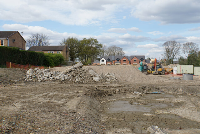
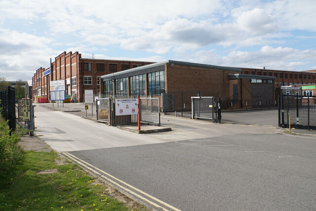
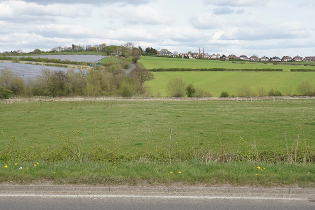
Markham Vale is an industrial and commercial development site located in Derbyshire, England. Situated just off Junction 29A of the M1 motorway, it covers an area of approximately 200 acres. The site was previously a coal mine but has been transformed into a thriving business park.
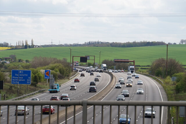
Markham Vale boasts excellent transport links, making it an attractive location for businesses. It is strategically positioned between Sheffield and Nottingham, with easy access to major cities such as Leeds and Manchester. The M1 motorway provides convenient road connections, while nearby Chesterfield Railway Station offers rail access.
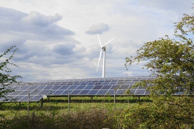
The site has been developed with a focus on sustainability and environmental responsibility. It features a state-of-the-art infrastructure, including high-speed broadband connectivity, energy-efficient buildings, and advanced recycling facilities. This commitment to sustainability has earned Markham Vale a reputation as an eco-friendly business park.
The development offers a range of commercial and industrial spaces, including offices, warehouses, and manufacturing units. Many well-known companies have chosen to establish their operations at Markham Vale, attracted by its strategic location and modern facilities. The site provides ample parking, green spaces, and amenities for employees, creating a pleasant working environment.
In addition to its business offerings, Markham Vale also benefits the local community. The development has created numerous job opportunities, boosting employment in the area. It has also contributed to the economic growth of Derbyshire, attracting investment and supporting local businesses.
Overall, Markham Vale is a vibrant business park that combines excellent transport links, modern infrastructure, and a commitment to sustainability. It has become a sought-after location for businesses looking for a strategic base in the heart of England.
If you have any feedback on the listing, please let us know in the comments section below.
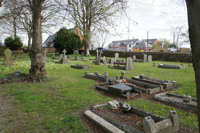
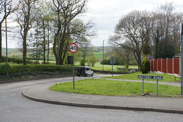
Markham Vale Images
Images are sourced within 2km of 53.240471/-1.3285181 or Grid Reference SK4471. Thanks to Geograph Open Source API. All images are credited.


Markham Vale is located at Grid Ref: SK4471 (Lat: 53.240471, Lng: -1.3285181)
Administrative County: Derbyshire
District: Chesterfield
Police Authority: Derbyshire
What 3 Words
///dialects.noisy.logs. Near Bolsover, Derbyshire
Nearby Locations
Related Wikis

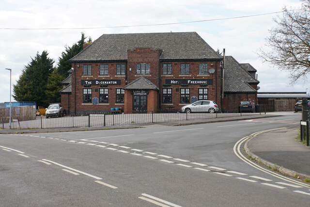
Duckmanton
Duckmanton is a village within the civil parish of Sutton cum Duckmanton, in North East Derbyshire, between Bolsover and Chesterfield. Duckmanton is a...

Markham Colliery disaster
Mining accidents at the Markham Colliery at Staveley near Chesterfield, Derbyshire, England. == Accident in 1973 == On 30 July 1973, 18 coal miners lost...

Sutton cum Duckmanton
Sutton cum Duckmanton is a civil parish in Derbyshire, England, between Bolsover and Chesterfield in the district of North East Derbyshire. The village...
Long Duckmanton
Long Duckmanton is a village in the civil parish of Sutton cum Duckmanton between Bolsover and Chesterfield, in North East Derbyshire, England. It is located...
Nearby Amenities
Located within 500m of 53.240471,-1.3285181Have you been to Markham Vale?
Leave your review of Markham Vale below (or comments, questions and feedback).