Marine Court
Settlement in East Lothian
Scotland
Marine Court
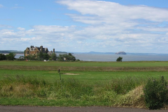
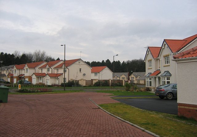
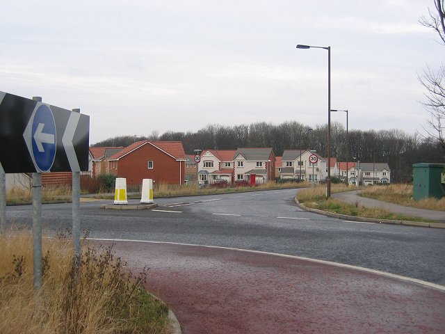
Marine Court is a residential area located in East Lothian, Scotland. Situated on the coast, it offers picturesque views of the North Sea and is a popular destination for both locals and tourists alike. The area is known for its tranquil atmosphere, making it an ideal place for those seeking a peaceful retreat.
The residential properties in Marine Court consist mainly of modern apartments and houses, providing a diverse range of accommodation options. Many of these properties are designed to maximize the stunning views of the sea, with large windows and balconies overlooking the water. The area is well-maintained and offers a pleasant living environment.
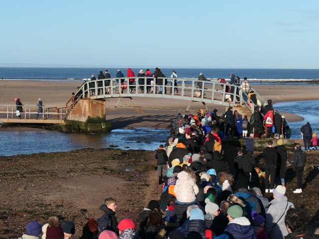
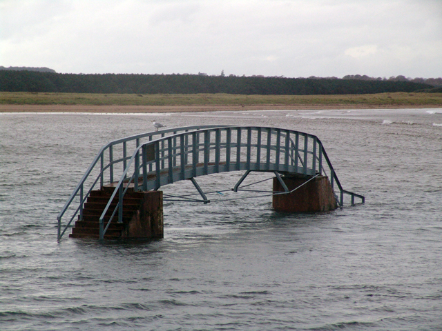
One of the key attractions of Marine Court is its proximity to the beach. Residents and visitors can easily access the sandy shores, where they can enjoy a day of sunbathing, swimming, or even participating in various water sports activities. The coastline is also home to a variety of wildlife, making it a great spot for nature enthusiasts.
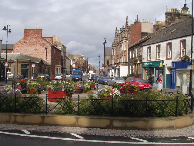
In terms of amenities, Marine Court offers a range of facilities to cater to the needs of its residents. There are several local shops, restaurants, and cafes within walking distance, providing convenience for daily essentials or a leisurely meal. The nearby town of North Berwick offers additional options for shopping and entertainment, ensuring that all necessities are within easy reach.
Overall, Marine Court is a charming coastal area in East Lothian, offering a serene living environment with stunning views, easy access to the beach, and a range of amenities. It is a sought-after location for those seeking a peaceful seaside retreat.
If you have any feedback on the listing, please let us know in the comments section below.
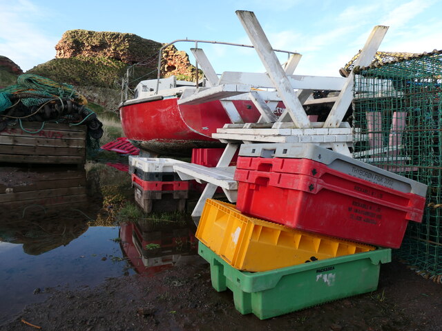
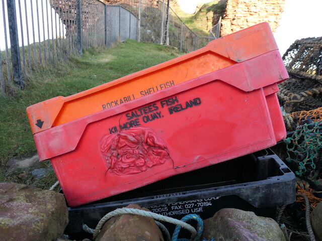
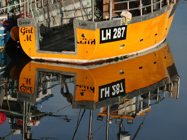
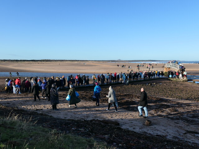
Marine Court Images
Images are sourced within 2km of 56.004135/-2.5254341 or Grid Reference NT6779. Thanks to Geograph Open Source API. All images are credited.

Marine Court is located at Grid Ref: NT6779 (Lat: 56.004135, Lng: -2.5254341)
Unitary Authority: East Lothian
Police Authority: The Lothians and Scottish Borders
What 3 Words
///moment.delighted.restrict. Near Dunbar, East Lothian
Nearby Locations
Related Wikis

Lauderdale House, Dunbar
Lauderdale House, formerly Dunbar House and then Castle Park Barracks, was a private house and then a military installation in Dunbar, Scotland. The building...

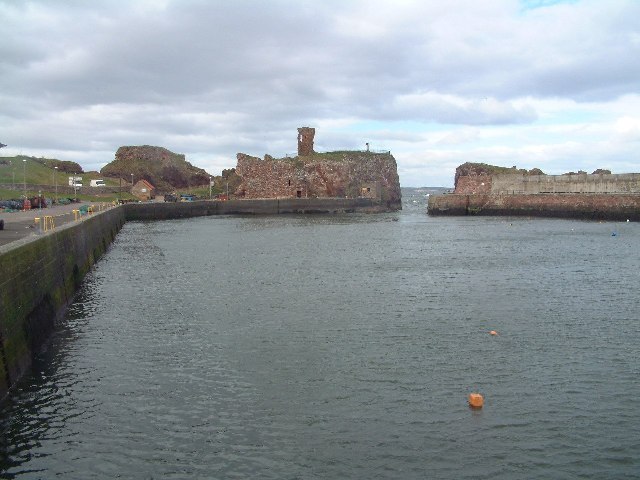
Dunbar Castle
Dunbar Castle was one of the strongest fortresses in Scotland, situated in a prominent position overlooking the harbour of the town of Dunbar, in East...

John Muir's Birthplace
John Muir's Birthplace, in Dunbar, East Lothian, Scotland, is a museum run by East Lothian Council Museums Service as a centre for study and interpretation...

Dunbar
Dunbar ( ) is a town on the North Sea coast in East Lothian in the south-east of Scotland, approximately 30 miles (50 kilometres) east of Edinburgh and...

Dunbar Town House
The Dunbar Town House, also known as Dunbar Tolbooth, is a municipal structure in the High Street in Dunbar, East Lothian, Scotland. The building, which...

Dunbar Lifeboat Station
Dunbar Lifeboat Station is a lifeboat station located in Dunbar Harbour at Dunbar, on the south-east coast of Scotland, operated by the Royal National...

Dunbar United F.C.
Dunbar United Football Club is a Scottish football club from the town of Dunbar, East Lothian. The club operates on a semi-professional basis, playing...

Dunbar Harbour
Dunbar Harbour is a seaport forming the north-east part of the town of Dunbar, East Lothian, Scotland. It is situated on a point projecting from the North...
Related Videos
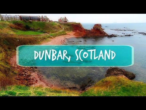
Dunbar is Amazing!
The place I really like. Click for a new video from DUNBAR: https://www.youtube.com/watch?v=X1PXwr10oCM&t=4s Follow me by ...

Are Lighthouses SCARY? Walking to Barns Ness Lighthouse, Scotland
Join me on a cliff-top walk - walking to Barns Ness Lighthouse. Starting at Whitesands Bay Beach we'll walk up the cliff tops, take ...

Dunbar's Scenic John Muir Trail #shorts #Scotland #explore #travel
Nestled on the southeastern coast of Scotland, the charming town of Dunbar boasts a rich history and a deep connection with the ...

Walking with Donald - The John Muir Way - Bellhaven Bay to East Linton - Part Two
Walking with Donald - The John Muir Way - Bellhaven Bay to East Linton - Part Two Filmed 9th December 2019, East Lothian, ...
Nearby Amenities
Located within 500m of 56.004135,-2.5254341Have you been to Marine Court?
Leave your review of Marine Court below (or comments, questions and feedback).