Mardon

Settlement in Northumberland

England

Mardon

Flodden Battlefield Monument (1513), Northumberland The Battle of Flodden, Flodden Field, or occasionally Branxton, was a battle fought on 9 September 1513 during the War of the League of Cambrai between the Kingdom of England and the Kingdom of Scotland, resulting in an English victory. The battle was fought near Branxton in the county of Northumberland in northern England, between an invading Scots army under King James IV and an English army commanded by the Earl of Surrey. In terms of troop numbers, it was the largest battle fought between the two kingdoms.

<span class="nowrap"><a title="https://en.wikipedia.org/wiki/Battle_of_Flodden" rel="nofollow ugc noopener" href="https://en.wikipedia.org/wiki/Battle_of_Flodden">Link</a><img style="margin-left:2px;" alt="External link" title="External link - shift click to open in new window" src="https://s1.geograph.org.uk/img/external.png" width="10" height="10"/></span>
Flodden Battlefield Monument (1513), Northumberland Credit: Brian Deegan

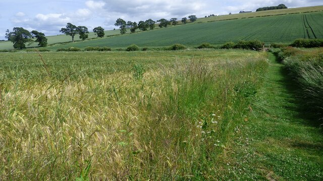
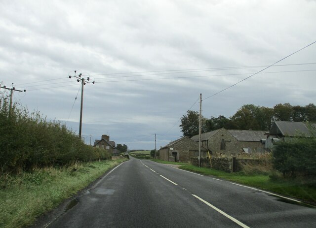
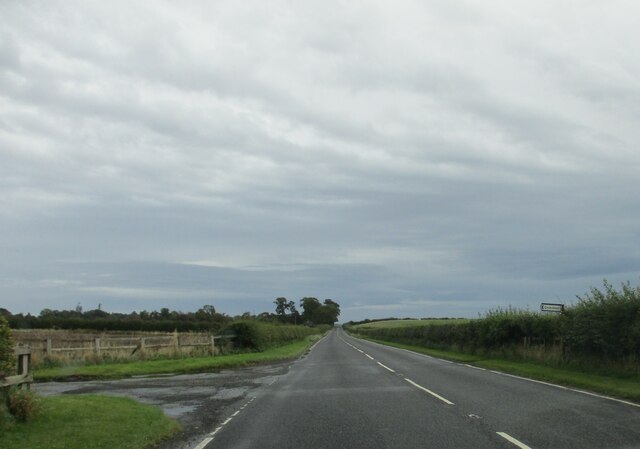
Mardon is a small village located in the county of Northumberland, England. Situated in the northeastern part of the country, Mardon is nestled amidst the stunning natural beauty of the Northumberland National Park. The village is surrounded by rolling hills, picturesque countryside, and offers panoramic views of the Cheviot Hills.

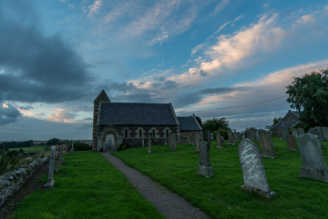
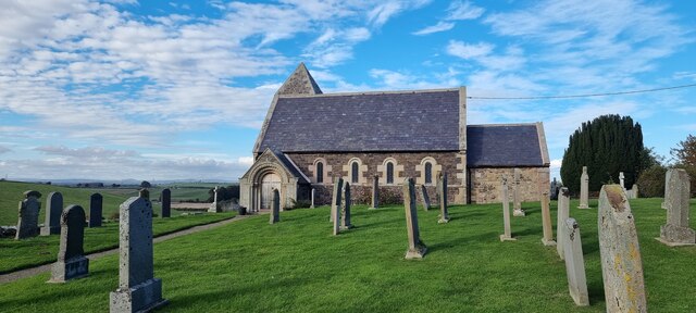
With a population of around 300 residents, Mardon is a close-knit community that prides itself on its tranquility and charm. The village is known for its quaint cottages, many of which date back several centuries, and its well-preserved historic buildings. The local church, St. Mary's, is a notable landmark, featuring beautiful stained glass windows and intricate stonework.

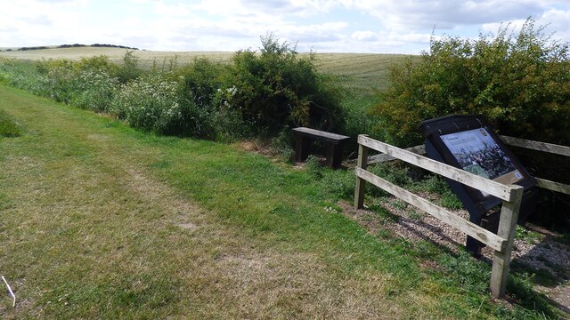
Mardon is a haven for outdoor enthusiasts, offering a myriad of recreational activities. The nearby Northumberland National Park provides ample opportunities for hiking, cycling, and nature walks, allowing residents and visitors to immerse themselves in the area's natural splendor. Additionally, the village is in close proximity to the River Coquet, which is renowned for its fishing and attracts anglers from all over.

Despite its tranquility, Mardon benefits from good transport links, with easy access to the A697 road connecting it to larger towns and cities. The village is also home to a few local amenities, including a village hall, a small convenience store, and a traditional pub, which serves as a popular meeting place for locals.

Overall, Mardon is a charming village that offers a peaceful and idyllic lifestyle, making it a sought-after destination for those seeking solace in the natural beauty of Northumberland.

If you have any feedback on the listing, please let us know in the comments section below.
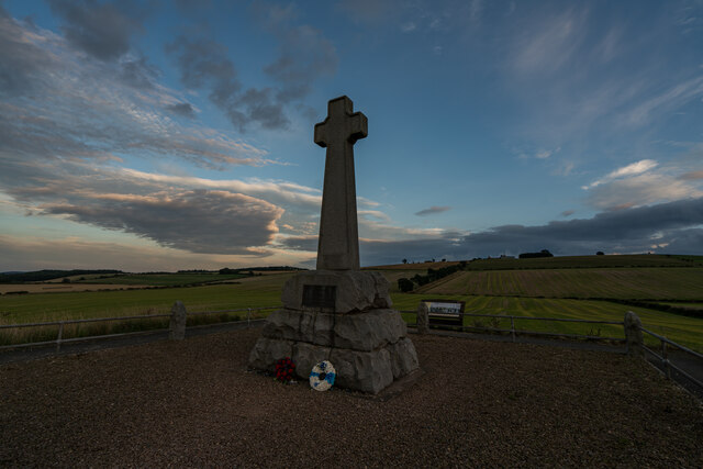
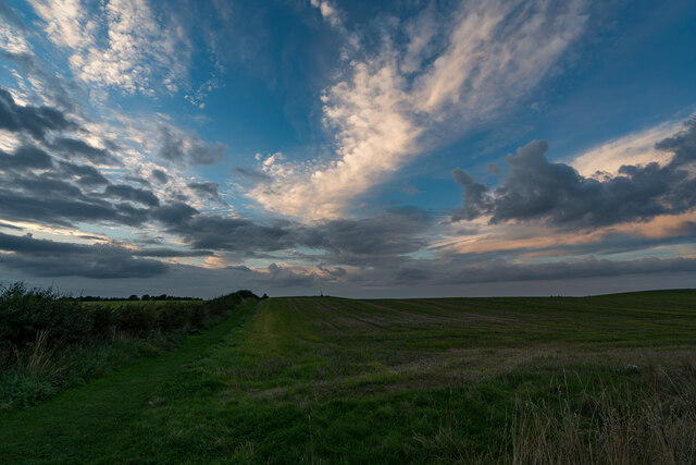
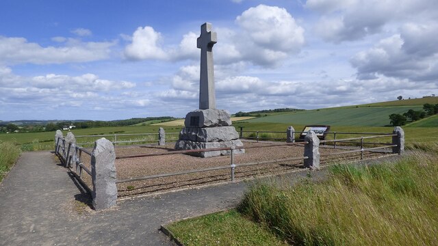
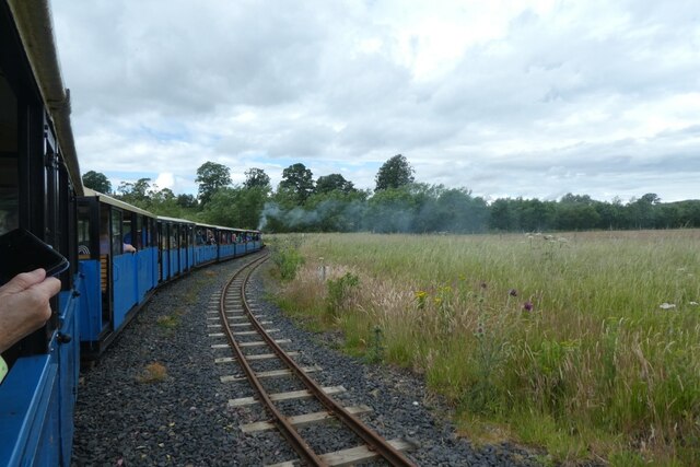
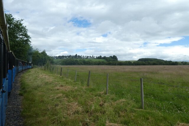
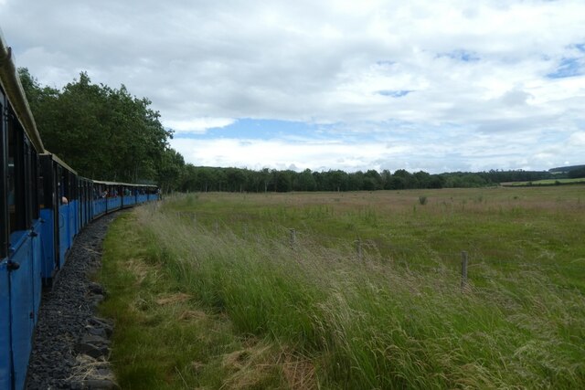
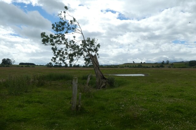
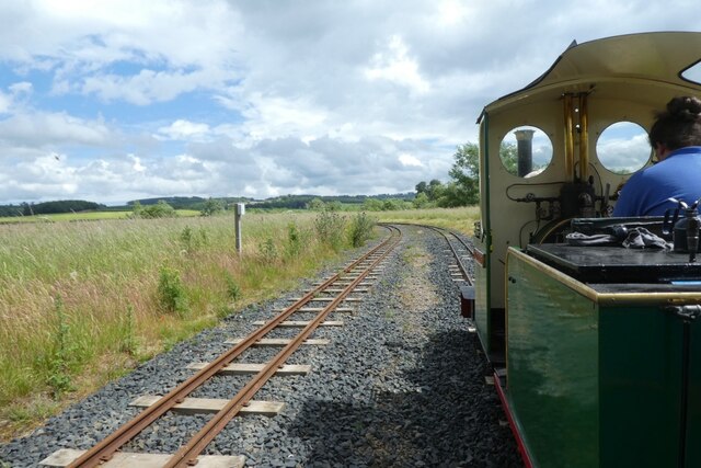
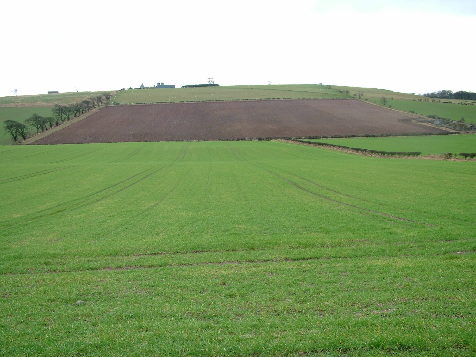
Mardon Images

Images are sourced within 2km of 55.634187/-2.1552211 or Grid Reference NT9037. Thanks to Geograph Open Source API. All images are credited.

Flodden Battlefield Monument (1513), Northumberland The Battle of Flodden, Flodden Field, or occasionally Branxton, was a battle fought on 9 September 1513 during the War of the League of Cambrai between the Kingdom of England and the Kingdom of Scotland, resulting in an English victory. The battle was fought near Branxton in the county of Northumberland in northern England, between an invading Scots army under King James IV and an English army commanded by the Earl of Surrey. In terms of troop numbers, it was the largest battle fought between the two kingdoms.

<span class="nowrap"><a title="https://en.wikipedia.org/wiki/Battle_of_Flodden" rel="nofollow ugc noopener" href="https://en.wikipedia.org/wiki/Battle_of_Flodden">Link</a><img style="margin-left:2px;" alt="External link" title="External link - shift click to open in new window" src="https://s1.geograph.org.uk/img/external.png" width="10" height="10"/></span>
Flodden Battlefield Monument (1513), Northumberland
The Battle of Flodden, Flodden Field, or occasionally Branxton, was a battle fought on 9 September 1513 during the War of the League of Cambrai between the Kingdom of England and the Kingdom of Scotland, resulting in an English victory. The battle was fought near Branxton in the county of Northumberland in northern England, between an invading Scots army under King James IV and an English army commanded by the Earl of Surrey. In terms of troop numbers, it was the largest battle fought between the two kingdoms. LinkExternal link
Battle Ground Flodden (1513) Looking back up the hill to the monument. This would have been marsh ground and very difficult to cross.
Battle Ground Flodden (1513)
Looking back up the hill to the monument. This would have been marsh ground and very difficult to cross.
St Paul's Church, Branxton
Battle of Flodden Field Monument <span class="nowrap"><a title="https://www.flodden1513ecomuseum.org/places/local/flodden-field" rel="nofollow ugc noopener" href="https://www.flodden1513ecomuseum.org/places/local/flodden-field">Link</a><img style="margin-left:2px;" alt="External link" title="External link - shift click to open in new window" src="https://s1.geograph.org.uk/img/external.png" width="10" height="10"/></span>
Battle of Flodden Field Monument
Flodden Field Where barley now grows there once was a bog that swallowed up an army.
Flodden Field
Where barley now grows there once was a bog that swallowed up an army.
Flodden Field At this spot James IV of Scotland was killed.
Flodden Field
At this spot James IV of Scotland was killed.
Branxton. Northumberland St Paul's Church, Branxton.
Branxton. Northumberland
St Paul's Church, Branxton.
Stock Law, Northumberland Looking southeast across Stock Law. In the distance can be seen the Flodden Field Memorial.
Stock Law, Northumberland
Looking southeast across Stock Law. In the distance can be seen the Flodden Field Memorial.
Farming  complex  at  Crookham  Westfield
Farming complex at Crookham Westfield
Access  track  to  Cookstead  farm From A697
Access track to Cookstead farm
From A697
Direction Sign – Signpost at Branxtonmoor Located on the north side of the T junction at Branxtonmoor in Branxton parish. 3 arms and cap finial. See also <a title="https://www.geograph.org.uk/photo/6559125" href="https://www.geograph.org.uk/photo/6559125">Link</a> and <a title="https://www.geograph.org.uk/photo/3647184" href="https://www.geograph.org.uk/photo/3647184">Link</a>.

Milestone Society National ID: NB_NT8935
Direction Sign – Signpost at Branxtonmoor
Located on the north side of the T junction at Branxtonmoor in Branxton parish. 3 arms and cap finial. See also Link and Link. Milestone Society National ID: NB_NT8935
Entering the passing loop A Heatherslaw Light Railway train heads towards Etal with the first service of the day.
Entering the passing loop
A Heatherslaw Light Railway train heads towards Etal with the first service of the day.
Train in the passing loop A Heatherslaw Light Railway train heads towards Etal with the first service of the day.
Train in the passing loop
A Heatherslaw Light Railway train heads towards Etal with the first service of the day.
West of the passing loop A Heatherslaw Light Railway train heads towards Etal with the first service of the day.
West of the passing loop
A Heatherslaw Light Railway train heads towards Etal with the first service of the day.
Fields beside the railway Viewed from the first Heatherslaw Light Railway train of the day as it heads towards Etal.
Fields beside the railway
Viewed from the first Heatherslaw Light Railway train of the day as it heads towards Etal.
Train following the course of the river A Heatherslaw Light Railway train heads towards Etal with the first service of the day.
Train following the course of the river
A Heatherslaw Light Railway train heads towards Etal with the first service of the day.
Tree beside the railway Looking across a field from the first Heatherslaw Light Railway train of the day. The rest of this tree lies a little bit further on to the left.
Tree beside the railway
Looking across a field from the first Heatherslaw Light Railway train of the day. The rest of this tree lies a little bit further on to the left.
Passing loop on the Heatherslaw Light Railway A Heatherslaw Light Railway train heads from Etal to Heatherslaw following the course of the River Till.
Passing loop on the Heatherslaw Light Railway
A Heatherslaw Light Railway train heads from Etal to Heatherslaw following the course of the River Till.
Show me another place!

Mardon is located at Grid Ref: NT9037 (Lat: 55.634187, Lng: -2.1552211)

Unitary Authority: Northumberland

Police Authority: Northumbria

What 3 Words

///notched.galloping.jabs. Near Ford, Northumberland

Nearby Locations

Mardon

Related Wikis

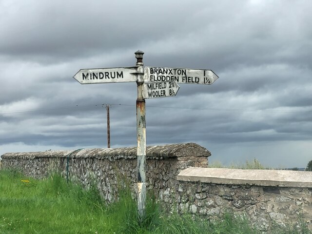
Branxton, Northumberland

Branxton is a village and civil parish in northern Northumberland, England. It lies about 3 miles (5 km) from the England-Scotland border and about 4 miles...

Crookham, Northumberland

Crookham is a village on the River Till in Northumberland, in England. It is situated approximately 8 km (5.0 mi) to the east of Coldstream and 14 km...

Pallinsburn House

Pallinsburn House is an 18th-century country house situated at Ford, Northumberland. It is a Grade II* listed building. The house was built about 1763...

Battle of Flodden

The Battle of Flodden, Flodden Field, or occasionally Branxton or Brainston Moor was a battle that was fought on 9 September 1513 during the War of the...

Nearby Amenities

Located within 500m of 55.634187,-2.1552211
Windy Law
Natural: peak
Lat/Long: 55.635098/-2.1526993
Mardon
Place: hamlet
Lat/Long: 55.6335138/-2.1544798
Inch Cottage
Place: isolated_dwelling
Lat/Long: 55.6370765/-2.1556563
The data included in this document is from www.openstreetmap.org. The data is made available under ODbL.

Have you been to Mardon?

Leave your review of Mardon below (or comments, questions and feedback).