Manorbier Newton
Settlement in Pembrokeshire
Wales
Manorbier Newton
Manorbier Newton is a small village located in the county of Pembrokeshire, Wales. Situated in the southwestern part of the country, it lies approximately 3 miles northeast of Tenby and 10 miles southwest of the county town of Pembroke.
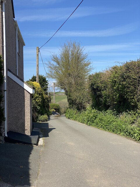
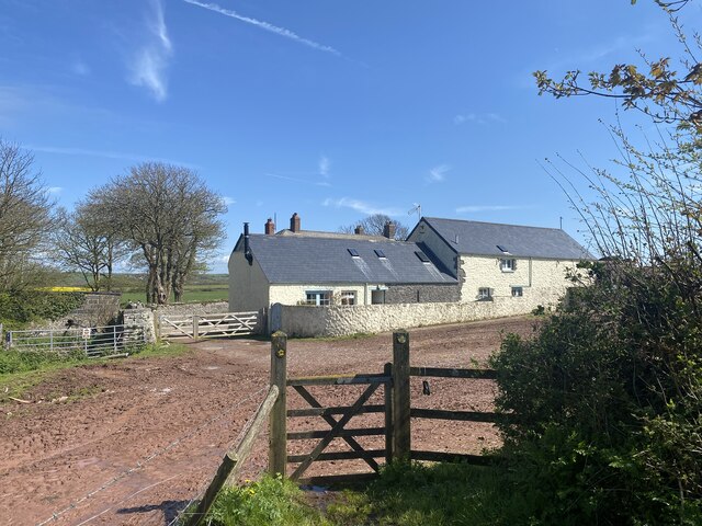
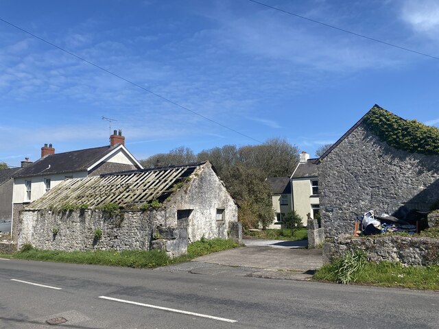
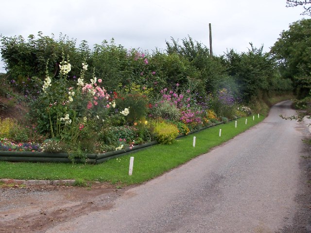
The village is set in a picturesque rural landscape, surrounded by rolling hills and farmland. It is known for its tranquil atmosphere and untouched natural beauty. Manorbier Newton is home to a close-knit community, with a population of around 200 residents.
One of the notable features of the village is its proximity to the stunning Manorbier Castle. This medieval fortress, dating back to the 12th century, is perched atop a cliff overlooking the village and offers breathtaking views of the nearby coastline. The castle, with its well-preserved structure and beautiful gardens, attracts visitors from far and wide.
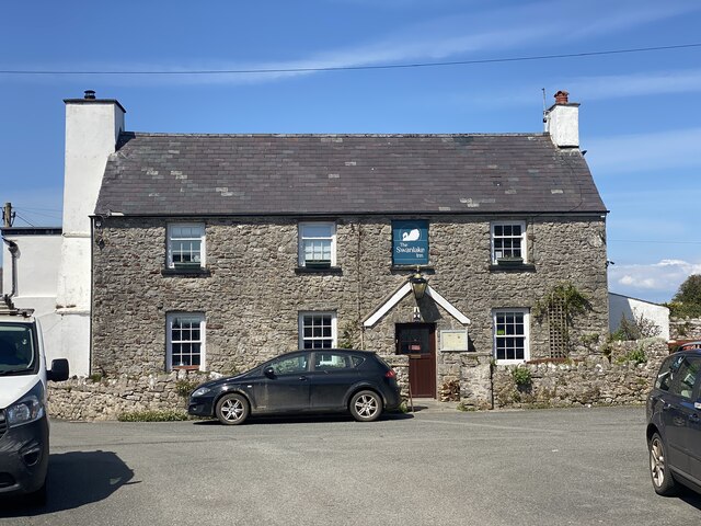
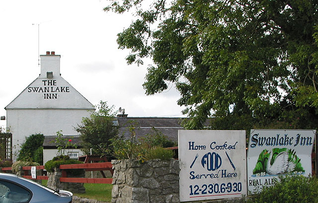
In terms of amenities, Manorbier Newton has a few small local businesses, including a village shop and a pub that serves traditional Welsh cuisine. The village is also within easy reach of larger towns, providing access to a wider range of services and facilities.
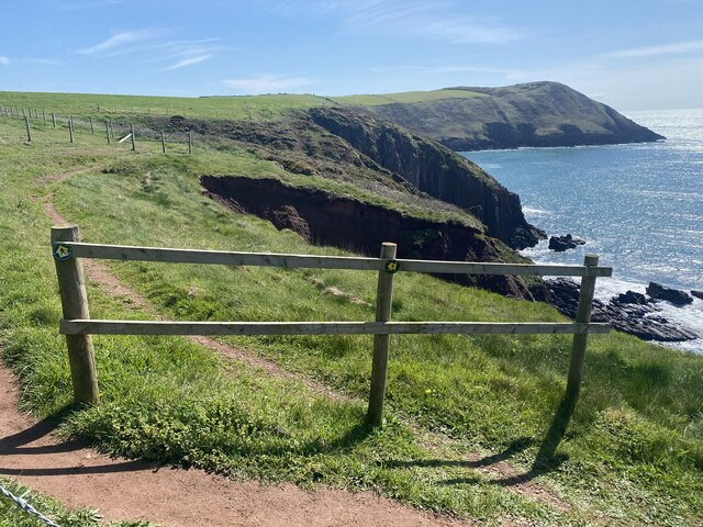
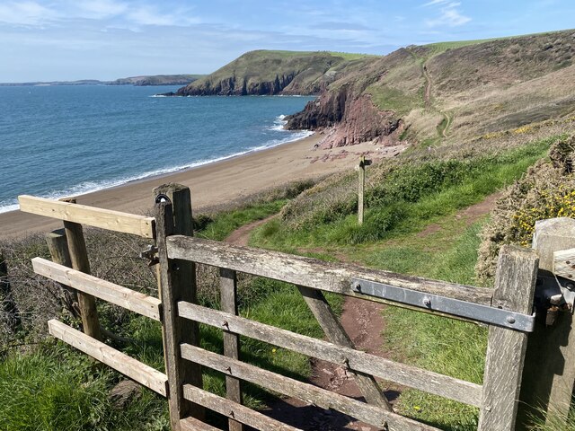
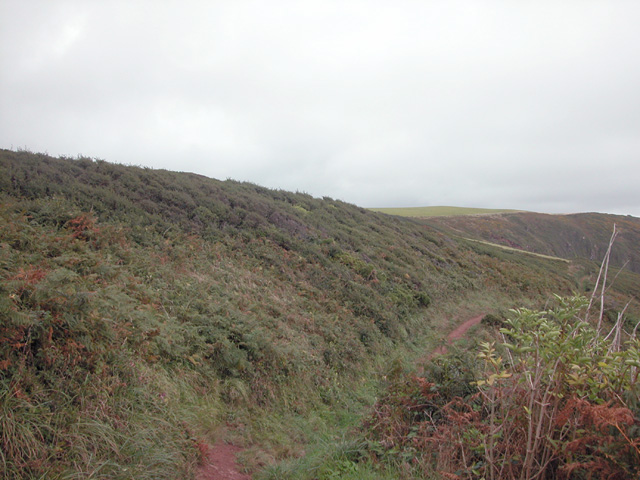
Nature enthusiasts will appreciate the surrounding countryside, which offers opportunities for hiking, cycling, and exploring the nearby Pembrokeshire Coast National Park. The village is also close to several pristine beaches, including Manorbier Bay, which is popular with surfers and sunbathers alike.
Overall, Manorbier Newton is a charming and idyllic village, ideal for those seeking a peaceful retreat in the heart of the Welsh countryside.
If you have any feedback on the listing, please let us know in the comments section below.
Manorbier Newton Images
Images are sourced within 2km of 51.664911/-4.8268901 or Grid Reference SN0400. Thanks to Geograph Open Source API. All images are credited.

Manorbier Newton is located at Grid Ref: SN0400 (Lat: 51.664911, Lng: -4.8268901)
Unitary Authority: Pembrokeshire
Police Authority: Dyfed Powys
What 3 Words
///blunders.asked.ladder. Near Manorbier, Pembrokeshire
Nearby Locations
Related Wikis
Manorbier Newton
Manorbier Newton is a small village in the Pembrokeshire Coast National Park within the parish and community of Manorbier. The Pembroke River rises at...

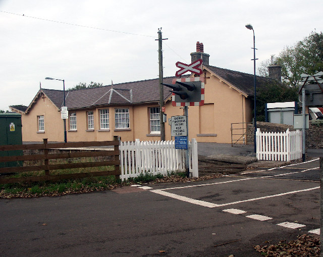
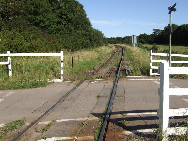
Beaver's Hill Halt railway station
Beaver's Hill Halt railway station served the town of Tenby, Pembrokeshire, Wales, from 1905 to 1964 on the Pembroke and Tenby Railway. == History == The...

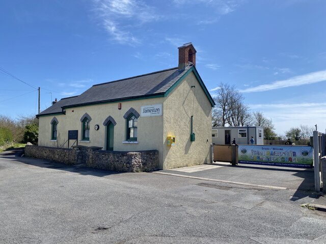
Jameston
Jameston (also spelled Jamestown) is a village in the parish and community of Manorbier, south Pembrokeshire, Wales, 1 mile (1.6 km) northwest of Manorbier...
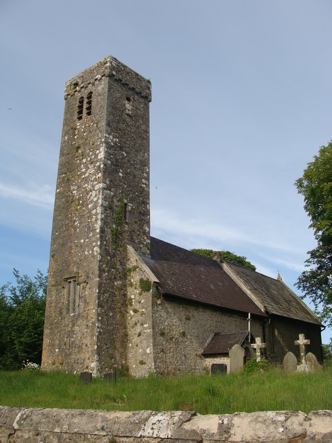
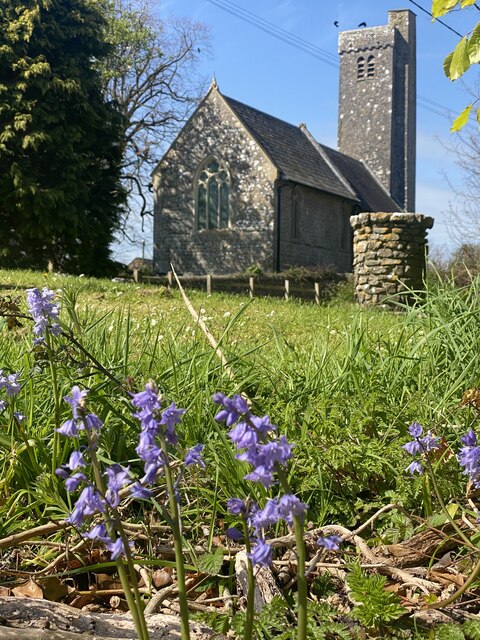
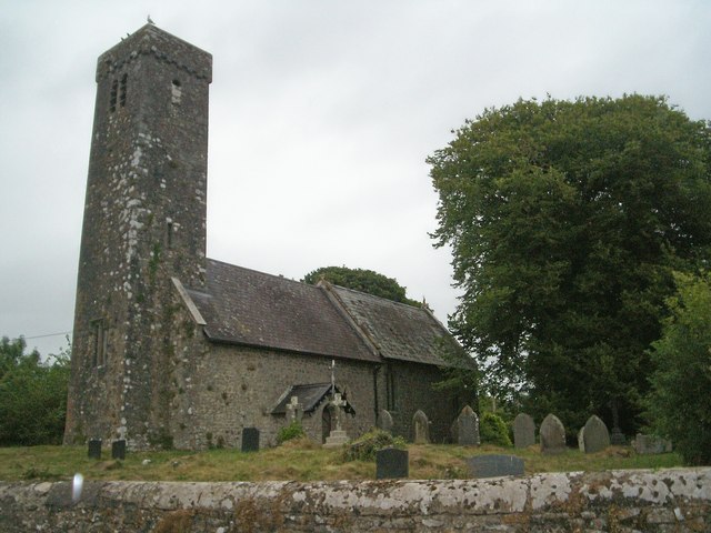
Hodgeston Parish Church
Hodgeston Parish Church is a redundant church in the village of Hodgeston, some 1 mile (1.6 km) southeast of Lamphey, Pembrokeshire, Wales. It is designated...
Hodgeston
Hodgeston is a small village and parish a mile southeast of Lamphey, south Pembrokeshire, Wales, and is in the community of Lamphey. It is on the A4139...

Manorbier railway station
Manorbier railway station is in Pembrokeshire, Wales, on the Pembroke Dock branch of the West Wales Line is operated by Transport for Wales Rail, who also...

Old Mortuary Chapel, Carew
Old Mortuary Chapel is a medieval Grade I listed building in St Mary's churchyard, Carew, Pembrokeshire, Wales. == Structure == The building has two storeys...
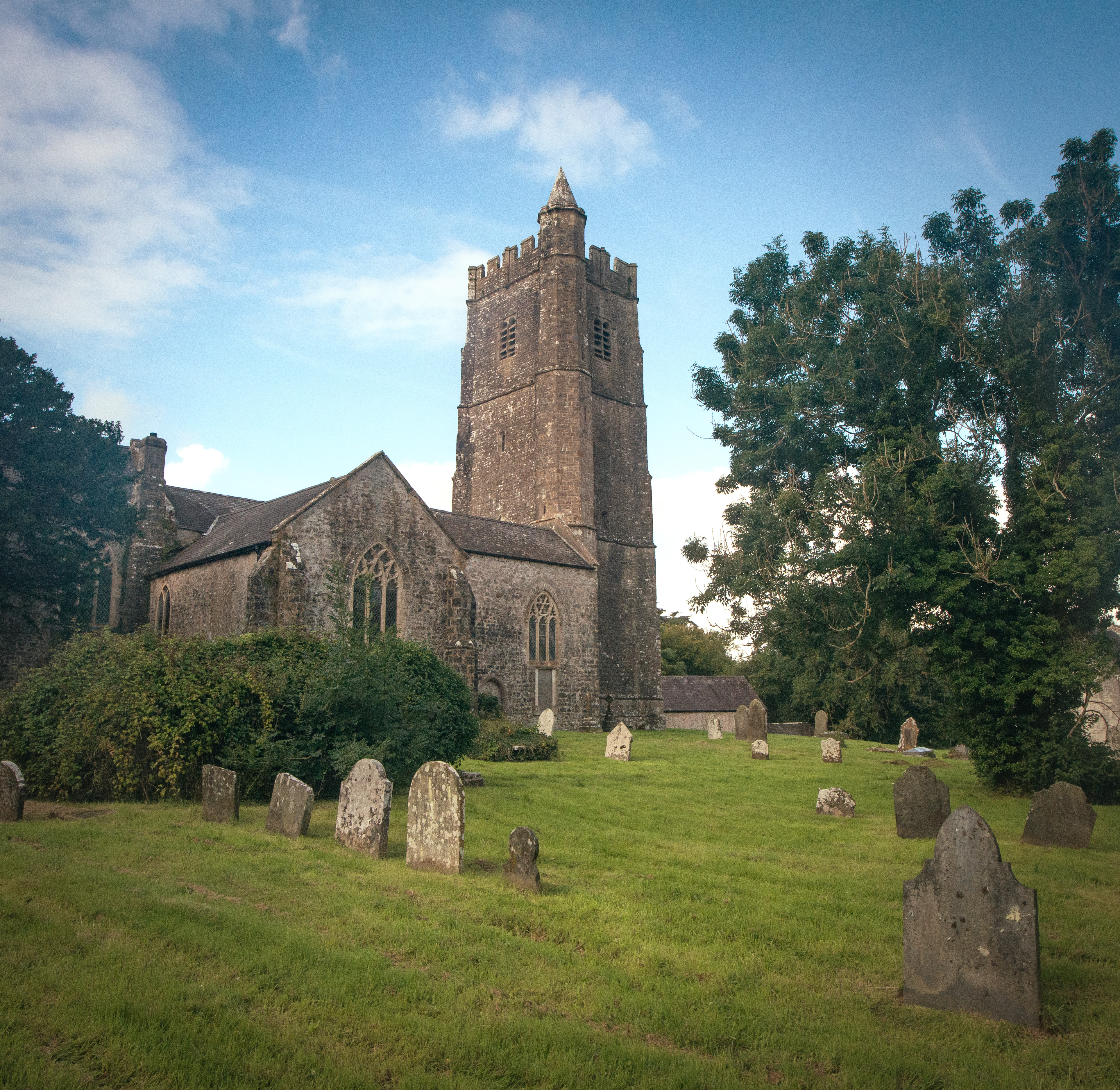
St Mary's Church, Carew
St Mary's Church, Carew, is the parish church of Carew, Pembrokeshire, Wales and a Grade I listed building. Lewis's Topographical Dictionary of Wales states...
Nearby Amenities
Located within 500m of 51.664911,-4.8268901Have you been to Manorbier Newton?
Leave your review of Manorbier Newton below (or comments, questions and feedback).