Mallsburn
Settlement in Cumberland Carlisle
England
Mallsburn
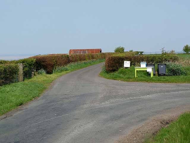
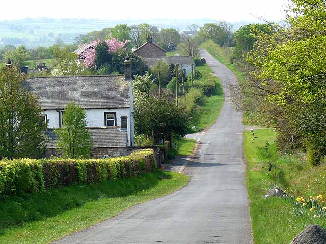
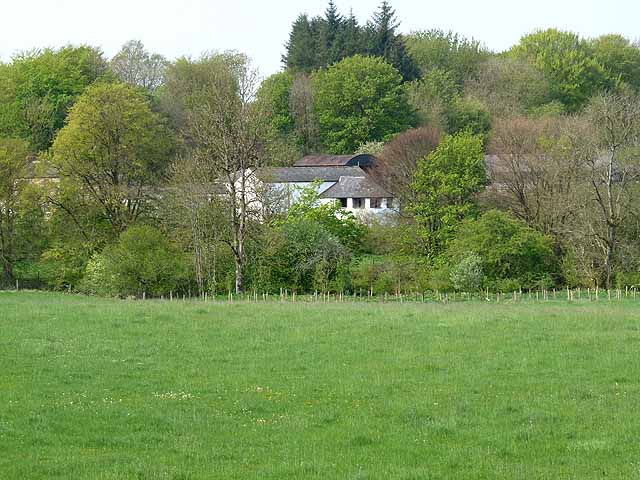
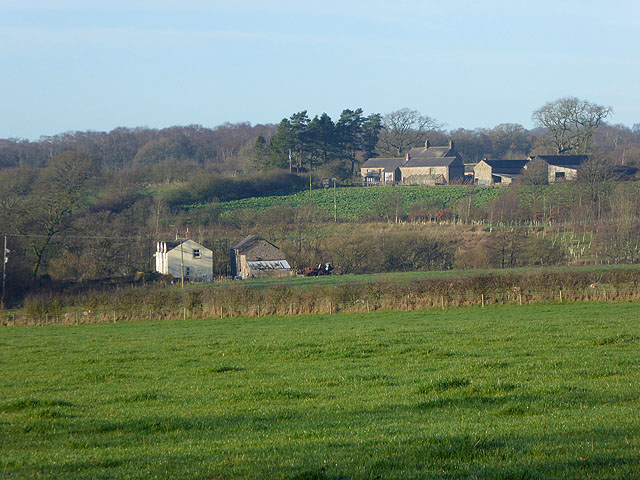
Mallsburn is a quaint village located in the county of Cumberland in northwest England. Situated amidst picturesque countryside, this idyllic settlement offers a serene and peaceful environment to its residents. With a population of roughly 1,200 people, Mallsburn is a close-knit community that prides itself on its strong sense of community spirit.
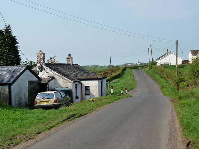
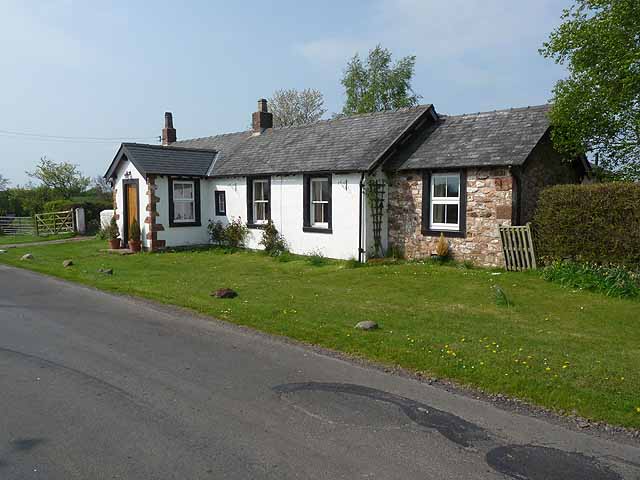
The village center of Mallsburn is characterized by charming, stone-built houses and traditional architecture, giving it a timeless and classic appeal. The heart of the village features a small marketplace, where locals gather to purchase fresh produce and engage in friendly conversations. Additionally, Mallsburn boasts a handful of local businesses, including a bakery, a post office, and several boutique shops, providing residents with essential amenities and services.
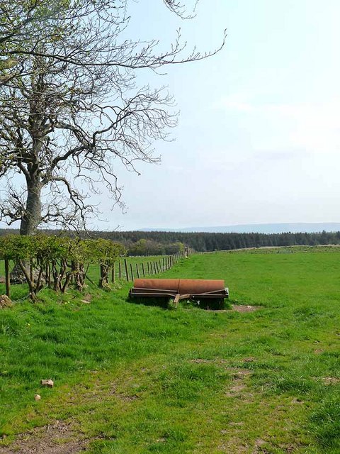
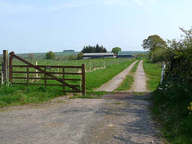
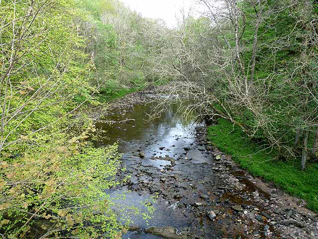
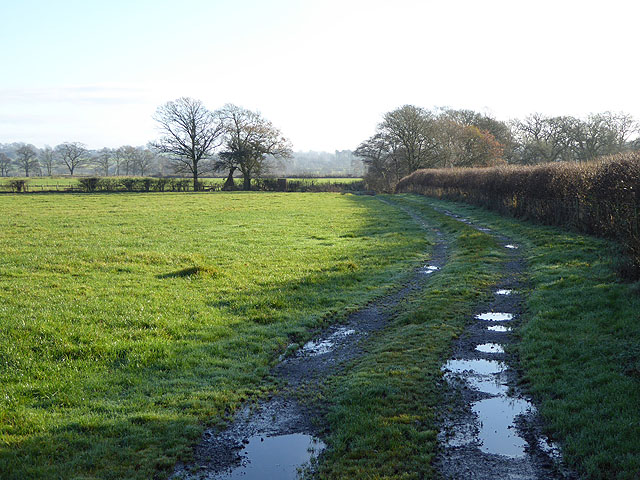
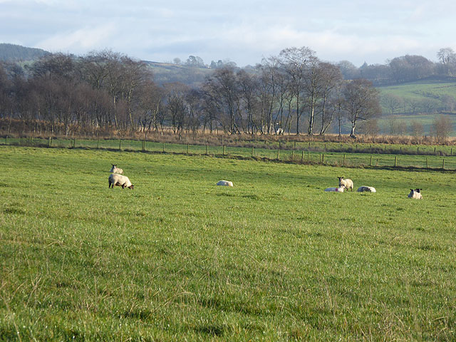
Nature enthusiasts will appreciate Mallsburn's proximity to the stunning Lake District National Park, just a short drive away. Here, visitors can immerse themselves in the breathtaking beauty of the surrounding landscapes, with opportunities for hiking, cycling, and picnicking.
For those seeking cultural experiences, Mallsburn is home to a charming community center that hosts various events throughout the year, such as art exhibitions, theater performances, and seasonal festivals. These events serve as a platform for locals to showcase their talents and foster a sense of togetherness within the community.
Overall, Mallsburn offers a tranquil and welcoming environment, perfect for individuals looking to escape the hustle and bustle of city life and immerse themselves in the beauty of the English countryside.
If you have any feedback on the listing, please let us know in the comments section below.
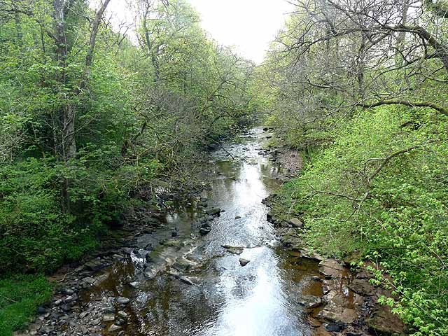
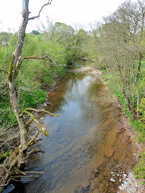
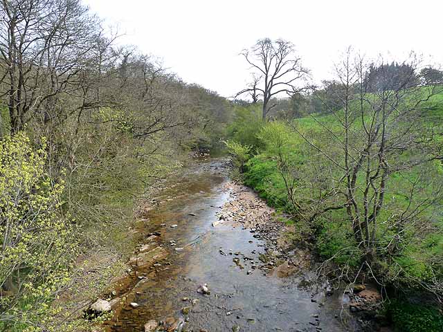
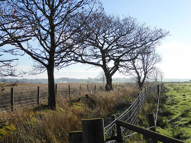
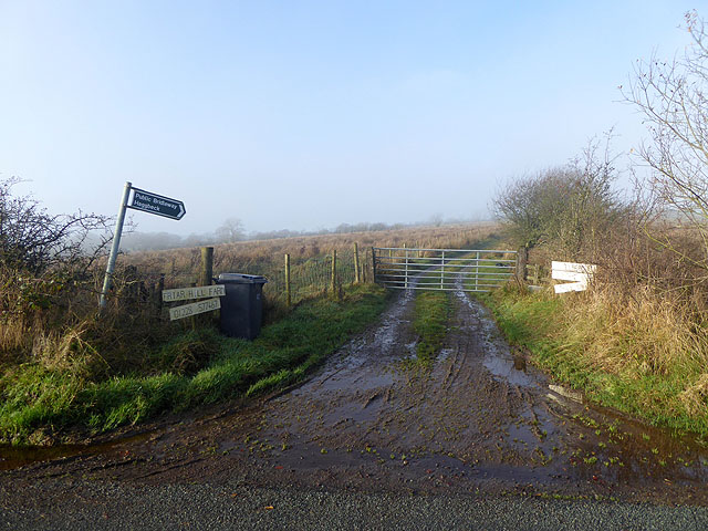
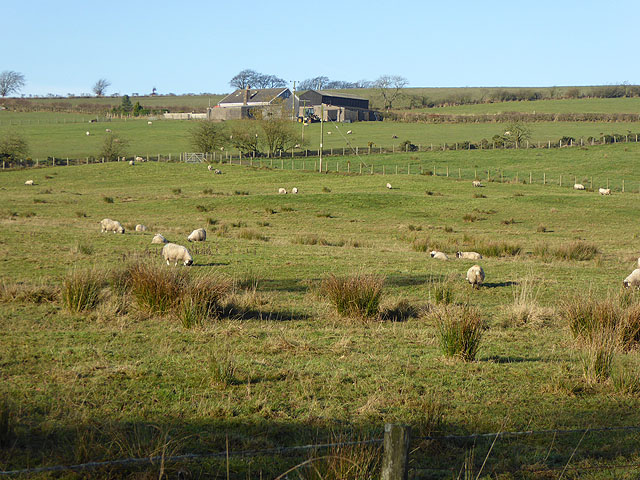
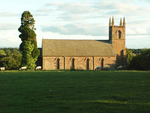
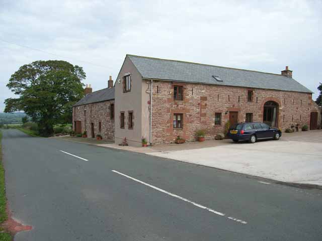
Mallsburn Images
Images are sourced within 2km of 55.054732/-2.8081714 or Grid Reference NY4873. Thanks to Geograph Open Source API. All images are credited.
Mallsburn is located at Grid Ref: NY4873 (Lat: 55.054732, Lng: -2.8081714)
Administrative County: Cumbria
District: Carlisle
Police Authority: Cumbria
What 3 Words
///appoints.denoting.handover. Near Longtown, Cumbria
Nearby Locations
Related Wikis

Solport
Solport is a civil parish in City of Carlisle district, Cumbria, England. In the 2011 UK Census it had a population of 166.It shares a parish council with...
Stapleton, Cumbria
Stapleton is a village and civil parish in the City of Carlisle district, in the county of Cumbria, in the North West of England. It falls under the jurisdiction...

Catlowdy
Catlowdy is a hamlet in Cumbria, England. It contains the Bessiestown Country Guest House. == References ==

Alston Formation
The Alston Formation is a geologic formation in England. It preserves fossils dating back to the Viséan to Serpukhovian (Asbian, Brigantian and Pendleian...
Nicholforest
Nicholforest is a civil parish in Cumbria, England bordering Scotland. The population of the civil parish taken at the 2011 census was 372. The parish...
Brackenhill Tower
Brackenhill Tower is a peel tower, in the parish of Arthuret, in Cumbria, just north of the River Lyne. The site is about 2 miles (3.2 km) north of Kirklinton...

Blackpool Gate
Blackpool Gate is a settlement in the civil parish of Bewcastle, which is in the district of the City of Carlisle in the county of Cumbria, England. It...
Boltonfellend
Boltonfellend is a village in Cumbria, England. == External links == Media related to Boltonfellend at Wikimedia Commons
Nearby Amenities
Located within 500m of 55.054732,-2.8081714Have you been to Mallsburn?
Leave your review of Mallsburn below (or comments, questions and feedback).