Luntley
Settlement in Herefordshire
England
Luntley
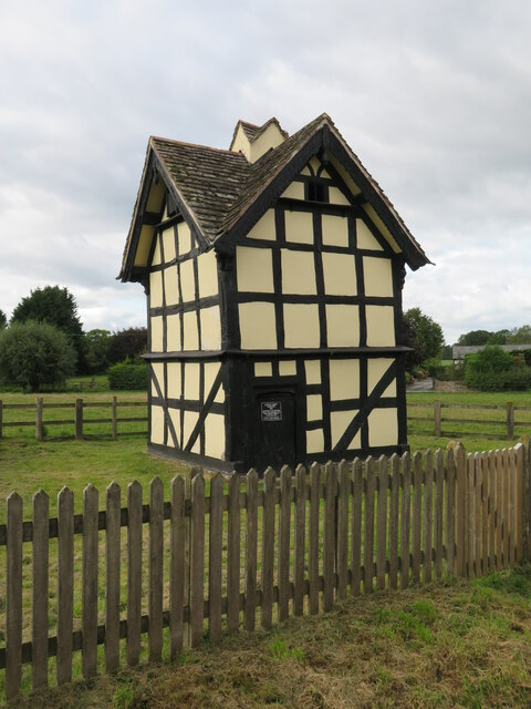
Luntley is a small village located in the county of Herefordshire, England. Situated approximately 8 miles northwest of the city of Hereford, Luntley is nestled amidst beautiful countryside and offers a peaceful and picturesque setting.
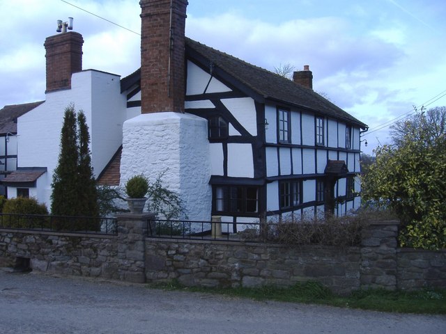
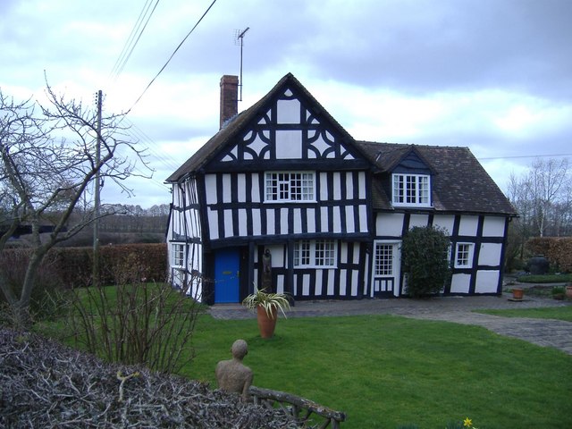
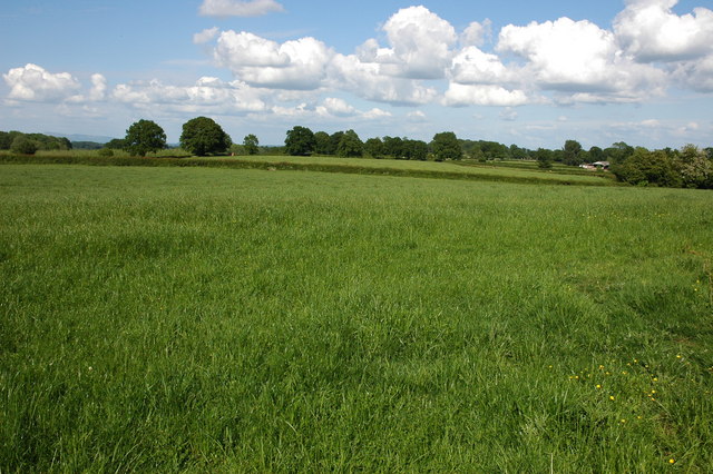
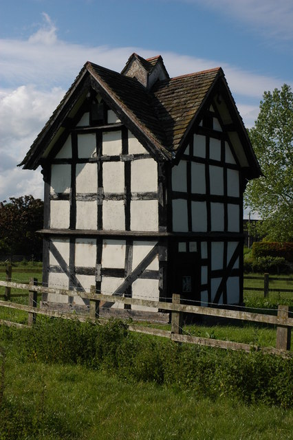
The village is characterized by its charming rural atmosphere, with traditional stone houses and quaint cottages dotting the landscape. Surrounded by rolling hills and fields, Luntley provides stunning views of the Herefordshire countryside, making it an ideal destination for nature lovers and hikers.
Although small in size, Luntley boasts a strong community spirit, with a close-knit population that takes pride in its village. The local community center serves as a hub for various activities and events, fostering a sense of togetherness among residents.
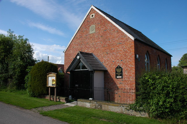
Luntley is also home to St. Mary's Church, a historic landmark dating back to the 12th century. The church is known for its architectural beauty and serves as a gathering place for religious worship as well as a venue for cultural events.
While Luntley may not have its own shops or amenities, it benefits from its proximity to nearby towns such as Weobley and Leominster where residents can find a range of services and facilities.
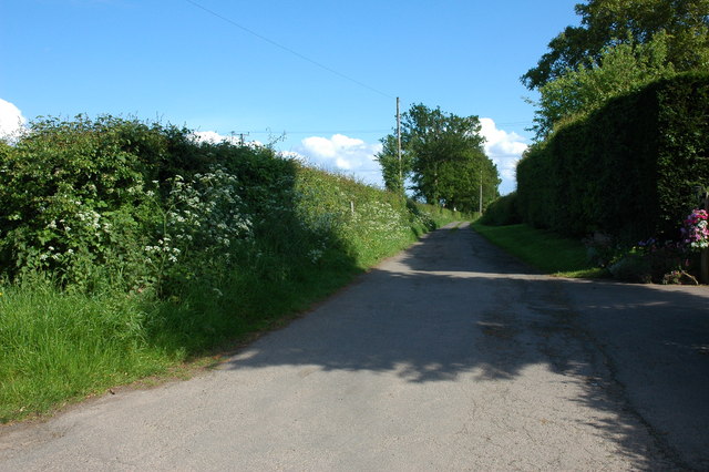
Overall, Luntley offers a tranquil and idyllic setting, allowing residents to enjoy the peace and tranquility of rural living while still being within easy reach of larger towns and cities in Herefordshire.
If you have any feedback on the listing, please let us know in the comments section below.
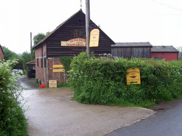
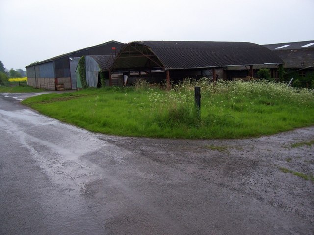
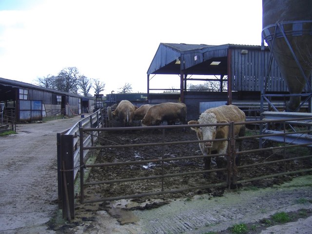
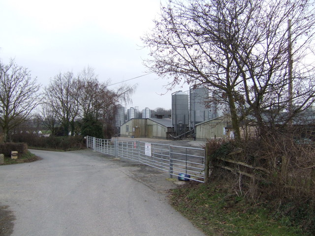
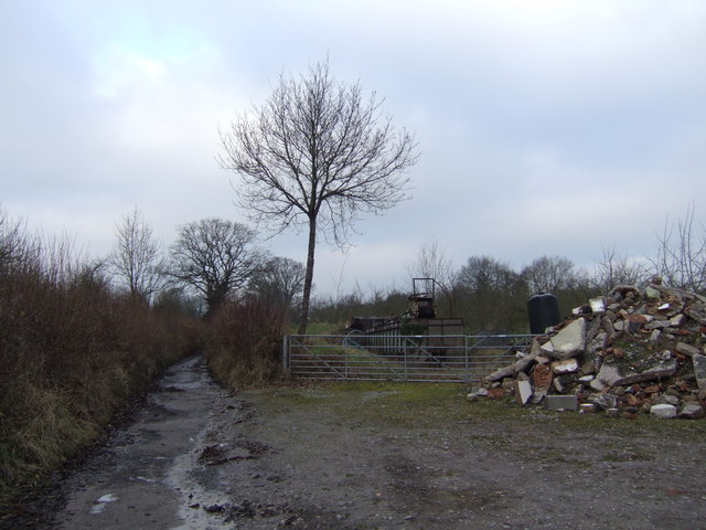
Luntley Images
Images are sourced within 2km of 52.196033/-2.8895462 or Grid Reference SO3955. Thanks to Geograph Open Source API. All images are credited.


Luntley is located at Grid Ref: SO3955 (Lat: 52.196033, Lng: -2.8895462)
Unitary Authority: County of Herefordshire
Police Authority: West Merica
What 3 Words
///thirsty.gazette.atlas. Near Weobley, Herefordshire
Nearby Locations
Related Wikis

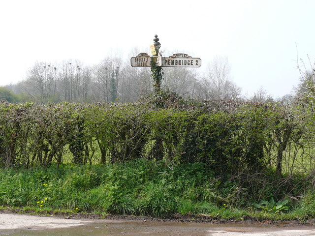
Pembridge
Pembridge is a village and civil parish in the Arrow valley in Herefordshire, England. The village is on the A44 road about 6 miles (10 km) east of Kington...

Dilwyn
Dilwyn is a village in Herefordshire, England located about 18 km (11 mi) from the city of Hereford and 9 km (6 mi) from its nearest town, Leominster....

Burton Court, Eardisland
Burton Court is a Grade II* listed English country manor house in the Parish of Eardisland, southwest of Leominster, Herefordshire, England. The manor...

Pembridge railway station
Pembridge railway station was a station in Pembridge, Herefordshire, England. The station was opened in 1856 and closed in 1955. The station was located...
Nearby Amenities
Located within 500m of 52.196033,-2.8895462Have you been to Luntley?
Leave your review of Luntley below (or comments, questions and feedback).