Lundin Links

Settlement in Fife

Scotland

Lundin Links

Walled Garden, Silverburn Fine old estate workshops in the background.
Walled Garden, Silverburn Credit: Richard Webb

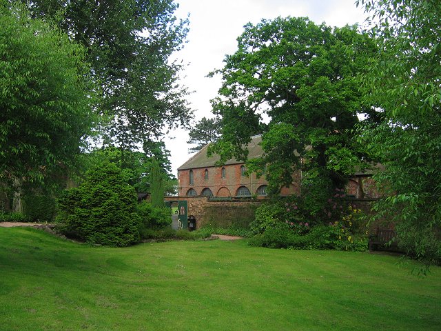
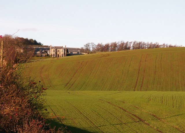
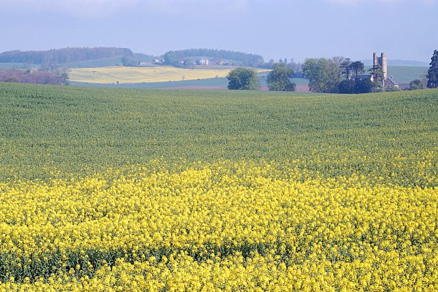
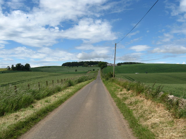
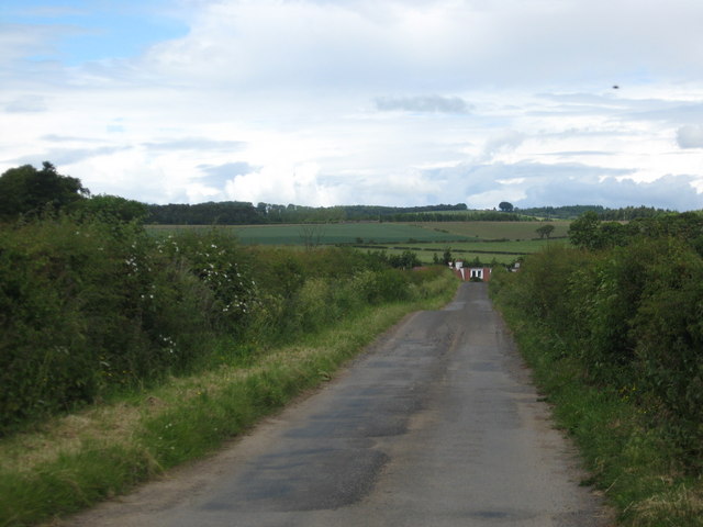
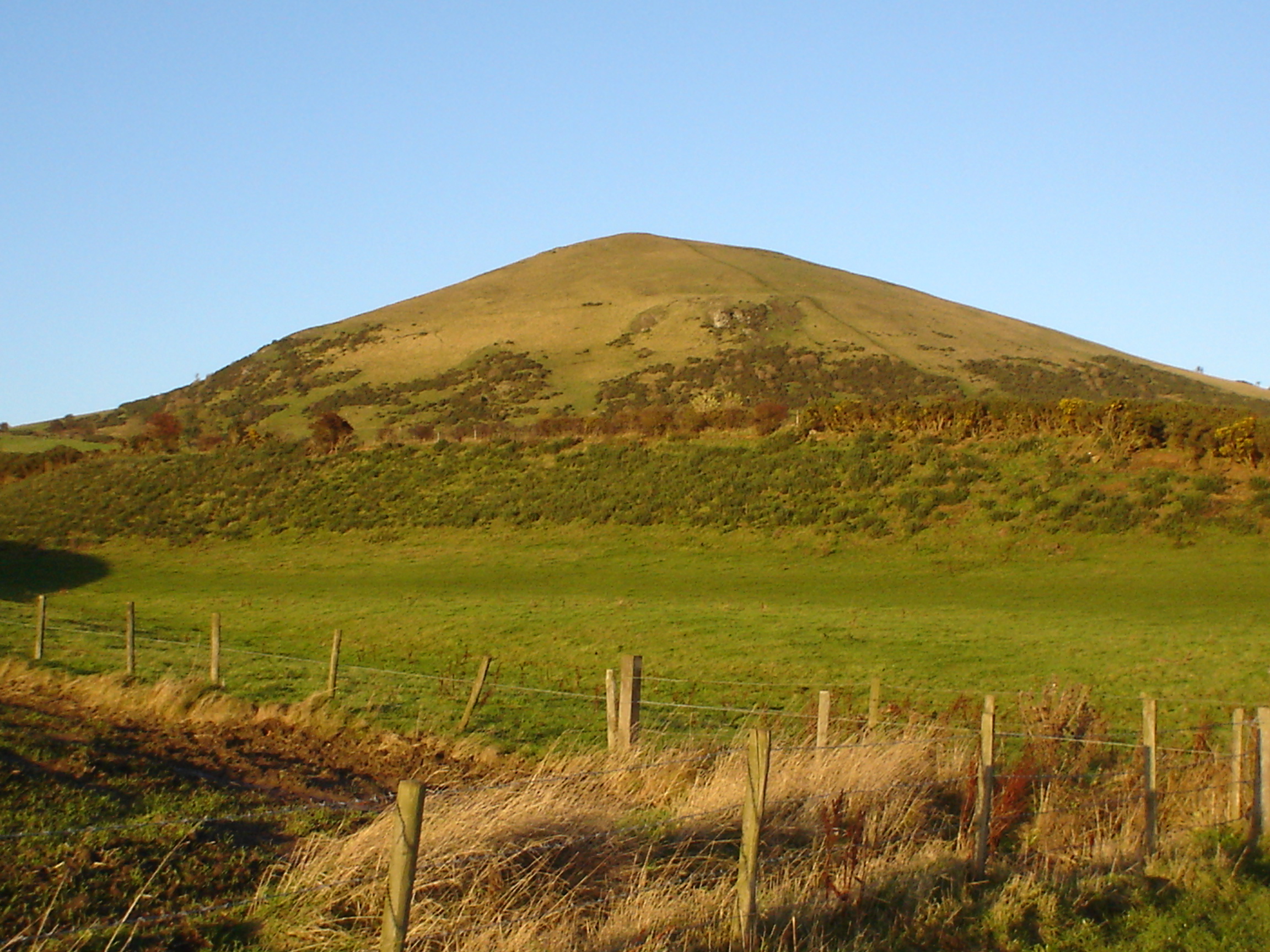
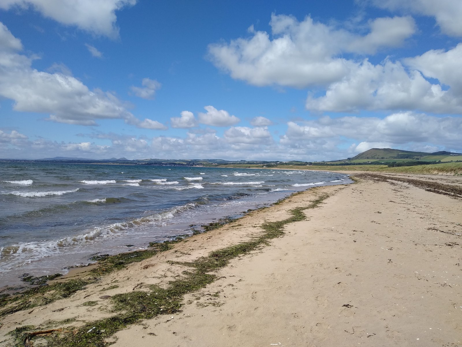
Lundin Links is a charming coastal village located in the Kingdom of Fife, Scotland. Situated on the eastern coast, it lies approximately 12 miles south of the town of St. Andrews and 30 miles north of the city of Edinburgh. Known for its picturesque setting, Lundin Links offers stunning views of the Firth of Forth and the Largo Bay.

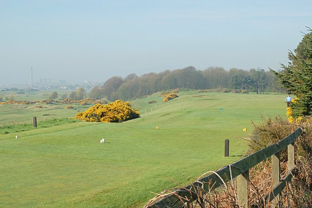
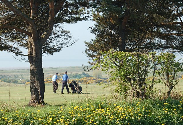
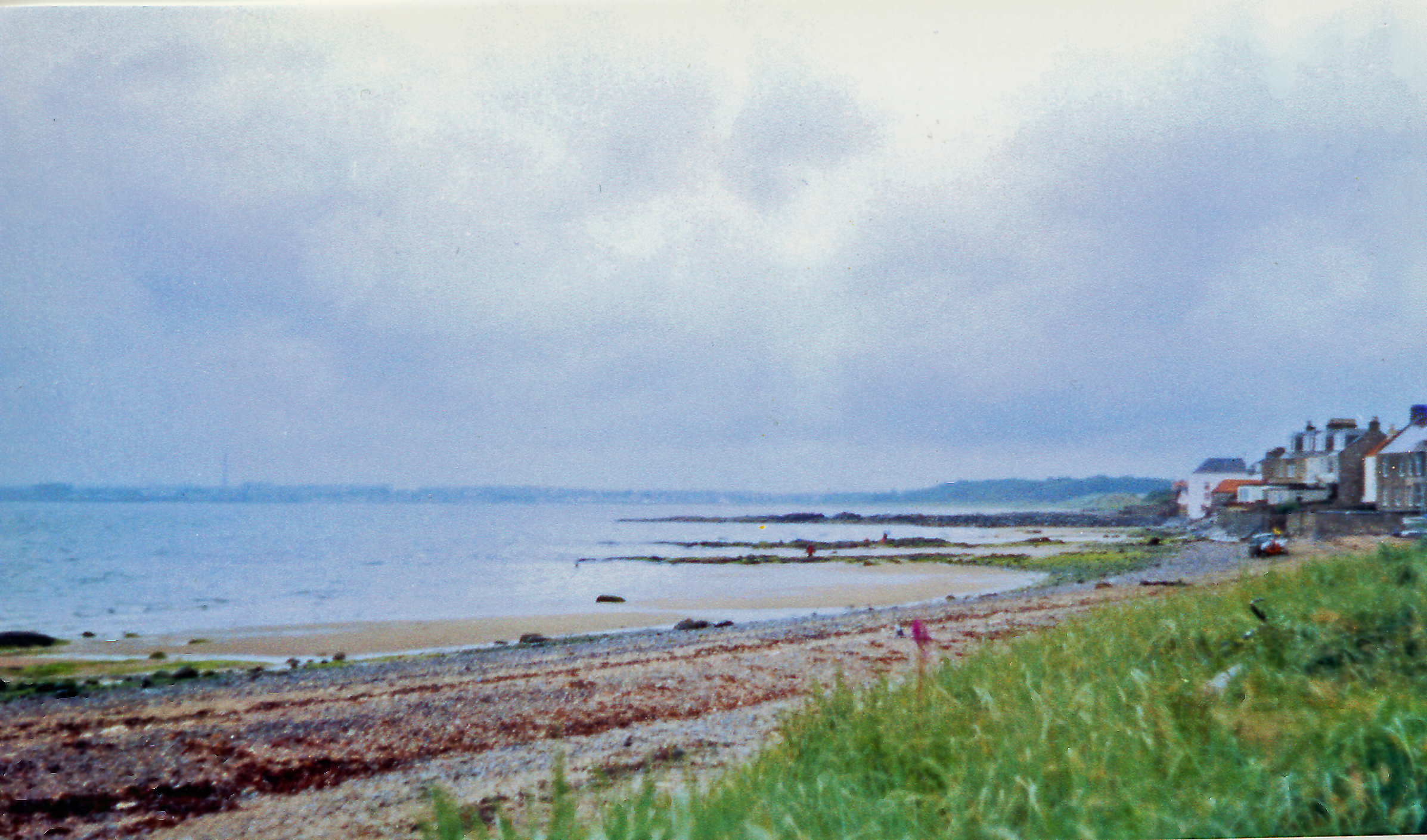
The village is renowned for its beautiful sandy beach, which stretches for miles and is a popular destination for locals and tourists alike. The beach offers opportunities for various activities such as swimming, picnicking, and beachcombing. Lundin Links is also home to two golf courses, Lundin Golf Club and the Ladies' Golf Club, attracting golf enthusiasts from around the world.

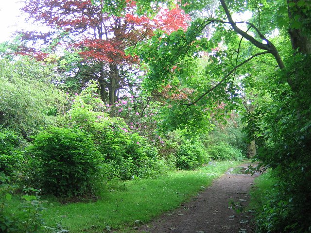
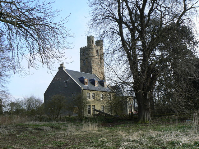
The village itself has a quaint and friendly atmosphere, with a range of amenities including local shops, cafes, and restaurants. Visitors can enjoy a leisurely stroll through the village, exploring its charming streets and historic buildings. The nearby Lundin Mill, a 19th-century former flax mill, is a notable landmark in the area.

Lundin Links is also an excellent base for exploring the wider Fife region. The renowned town of St. Andrews, famous for its historic university and golf courses, is just a short drive away. The East Neuk of Fife, with its picturesque fishing villages and stunning coastal scenery, is also easily accessible from Lundin Links.

Overall, Lundin Links offers a perfect blend of natural beauty, outdoor activities, and Scottish charm, making it an ideal destination for those seeking a peaceful coastal getaway.

If you have any feedback on the listing, please let us know in the comments section below.
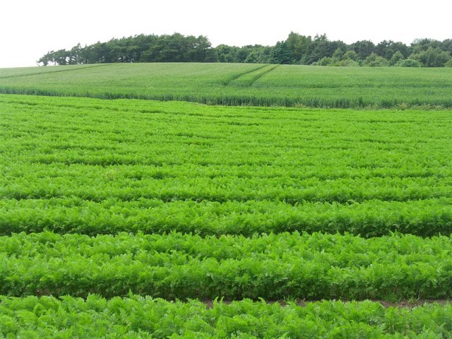
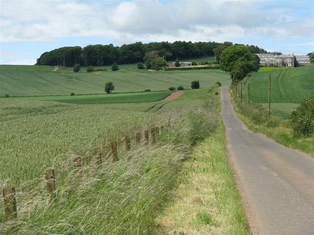
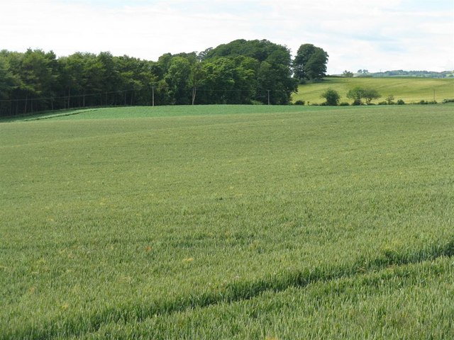
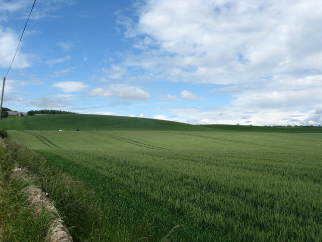
Lundin Links Images

Images are sourced within 2km of 56.213219/-2.9521934 or Grid Reference NO4102. Thanks to Geograph Open Source API. All images are credited.

Walled Garden, Silverburn Fine old estate workshops in the background.
Walled Garden, Silverburn
Fine old estate workshops in the background.
Woodland, Silverburn Colourful woodland, near the now boarded up Silverburn House.
Woodland, Silverburn
Colourful woodland, near the now boarded up Silverburn House.
Farmland by Pilmuir Looking North towards Pilmuir Farm
Farmland by Pilmuir
Looking North towards Pilmuir Farm
On reflection Pond in Lundin wood.
On reflection
Pond in Lundin wood.
Lundin Tower The old square tower which was part of the mansion of Lundin (and which is said to be a remnant of an old castle of Lundin) dates from the time of David II. It has been carefully preserved since the mansion was pulled down in late 19th century and the adjacent house and the tower are now again being restored.
Lundin Tower
The old square tower which was part of the mansion of Lundin (and which is said to be a remnant of an old castle of Lundin) dates from the time of David II. It has been carefully preserved since the mansion was pulled down in late 19th century and the adjacent house and the tower are now again being restored.
A rainbow of refuse Colourful selection of rubbish bins at the rear of the recently-opened Blacketyside farm shop and restaurant.
A rainbow of refuse
Colourful selection of rubbish bins at the rear of the recently-opened Blacketyside farm shop and restaurant.
Towards Pilmuir Farmland by Lundin Tower with Pilmuir in the far distance on a hazy morning.
Towards Pilmuir
Farmland by Lundin Tower with Pilmuir in the far distance on a hazy morning.
Lundin Links The western part of the course with Silver Burn the other side of the small wood. Methil's mothballed  power station can just be made out through the murk.
Lundin Links
The western part of the course with Silver Burn the other side of the small wood. Methil's mothballed power station can just be made out through the murk.
Golf, Lundin Links With three courses packed into the area between Leven and Lundin Mills it's a popular pastime in the area.
Golf, Lundin Links
With three courses packed into the area between Leven and Lundin Mills it's a popular pastime in the area.
Blacketyside Blacketyside farm shop and restaurant. Newly opened building which replaced a caravan selling fruit and veg.
Blacketyside
Blacketyside farm shop and restaurant. Newly opened building which replaced a caravan selling fruit and veg.
Lundin Tower and house Late evening light on the old tower and the house. See <a href="https://www.geograph.org.uk/photo/396727">NO3902 : Lundin Tower</a> for more details about this structure.
Lundin Tower and house
Late evening light on the old tower and the house. See NO3902 : Lundin Tower for more details about this structure.
Lundin Tower, with additions For more information see <a href="https://www.geograph.org.uk/photo/396727">NO3902 : Lundin Tower</a>.
Lundin Tower, with additions
For more information see NO3902 : Lundin Tower.
Carrots and wheat at Lundin With Lundin Wood beyond.
Carrots and wheat at Lundin
With Lundin Wood beyond.
The road to Pilmuir Rich arable farmland, with cereals and potatoes prominent.
The road to Pilmuir
Rich arable farmland, with cereals and potatoes prominent.
Winter wheat and barley, and Lundin Wood Near Pilmuir farm.
Winter wheat and barley, and Lundin Wood
Near Pilmuir farm.
Field of wheat near Pilmuir
Looking towards Pilmuir Farm Country road leading to the farm in Fife.
Looking towards Pilmuir Farm
Country road leading to the farm in Fife.
Road to Thomsford Farm
Show me another place!

Lundin Links is located at Grid Ref: NO4102 (Lat: 56.213219, Lng: -2.9521934)

Unitary Authority: Fife

Police Authority: Fife

What 3 Words

///gave.burying.plantings. Near Lundin Links, Fife

Nearby Locations

Drummochy Lundin Links

Related Wikis

Lundin Links

Lundin Links is a small village in the parish of Largo on the south coast of Fife in eastern central Scotland. The village was largely built in the 19th...

Largo, Fife

Largo (Scottish Gaelic: An Leargach) is a parish in Fife, Scotland containing the villages of Upper Largo or Kirkton of Largo, Lower Largo and Lundin Links...

Lower Largo

Lower Largo or Seatown of Largo is a village in Fife, Scotland, situated on Largo Bay along the north side of the Firth of Forth. It is east of, and contiguous...

Lundin Links railway station

Lundin Links railway station served the village of Lundin Links, Fife, Scotland from 1857 to 1965 on the Fife Coast Railway. == History == The station...

Largo railway station

Largo railway station served the village of Lower Largo, Fife, Scotland from 1857 to 1965 on the East of Fife Railway. == History == The station opened...

Upper Largo

Upper Largo or Kirkton of Largo is a village in the parish of Largo, near the East Neuk of Fife, Scotland. It rests on the southern slopes of Largo Law...

Largo Bay

Largo Bay is a bay on the northern shore of the Firth of Forth, on the coast of Fife, Scotland.Lower Largo is a village right on the bay, with small harbour...

Drumeldrie

Drumeldrie is a hamlet in the East Neuk area of Fife, Scotland. It is to the east of Upper Largo and is on the A917 road. It is around a 15-minute walk...

Related Videos

Discover the Beauty of Lower Largo Walking Trail

Join us as we explore the scenic Lower Largo Walking Trail, taking in stunning views of the Firth of Forth and historic landmarks ...

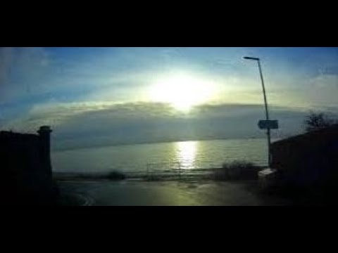
Autumn Sunset With Music By Walking Path On History Visit To Lower Largo East Neuk Of Fife Scotland

Tour Scotland 4K short Autumn travel video clip of sunset by the coastal walking path on ancestry, genealogy, family history visit to ...

Road Trip Drive With Music On History Visit To Coast Of Lower Largo East Neuk Of Fife Scotland

Tour Scotland 4K travel video of a road trip drive, with Scottish music, through the narrow street to the coastal walking path on ...

Spring Road Trip Drive Through Lower Largo On History Visit To East Neuk Of Fife Scotland

Tour Scotland 4K travel video of a Spring morning road trip drive, with Scottish music, through the narrow streets by the coast in ...

Nearby Amenities

Located within 500m of 56.213219,-2.9521934
Lundin Links
Is In: Fife
Place: village
Wikidata: Q1011324
Wikipedia: en:Lundin Links
Lat/Long: 56.2126211/-2.9544147
Mini Roundabout
Lat/Long: 56.2121051/-2.9476968
Crossing
Crossing: traffic_signals
Crossing Island: no
Tactile Paving: yes
Lat/Long: 56.2139181/-2.952723
Pharmacy
Lundin Links Pharmacy
Addr City: Lundin Links
Addr Housenumber: 2
Addr Postcode: KY8 6AB
Addr Street: Emsdorf Street
Fhrs Id: 29198
Healthcare: pharmacy
Source Addr: FHRS Open Data
Lat/Long: 56.2138611/-2.951603
Premier
Addr City: Lundin Links
Addr Housenumber: 17
Addr Postcode: KY8 6AQ
Addr Street: Leven Road
Brand: Premier
Brand Wikidata: Q7240340
Brand Wikipedia: en:Premier Stores
Fhrs Id: 117997
Shop: convenience
Source Addr: FHRS Open Data
Website: https://www.premier-stores.co.uk/our-stores/lundin-links-store
Lat/Long: 56.2138508/-2.9524898
Post Box
Brand: Royal Mail
Brand Wikidata: Q638098
Brand Wikipedia: en:Royal Mail
Collection Times: Mo-Fr 16:45; Sa 12:00
Operator: Royal Mail
Operator Wikidata: Q638098
Post Box Type: pillar
Ref: KY8 188
Royal Cypher: scottish_crown
Lat/Long: 56.2137997/-2.9518882
Defibrillator
Defibrillator Location: On outside wall of Stuart's Bakers and Butchers on Leven Road
Emergency: defibrillator
Indoor: no
Mapillary: 482330376721084
Survey Date: 2021-09-17
Lat/Long: 56.2138947/-2.952126
Defibrillator
Emergency: defibrillator
Indoor: no
Lat/Long: 56.2134002/-2.9575583
Bus Stop
Lundin Links Crescent Road
Bench: yes
Bin: yes
Bus: yes
Lit: yes
Naptan AtcoCode: 6500N0382
Naptan NaptanCode: 34329743
Public Transport: platform
Shelter: yes
Tactile Paving: no
Lat/Long: 56.2138078/-2.9537778
Library
Largo Library and Community Hub
Lat/Long: 56.2129038/-2.95058
Penny & Black
Addr City: Lundin Links
Addr Housenumber: 1
Addr Postcode: KY8 6AQ
Addr Street: Leven Road
Shop: interior_decoration
Lat/Long: 56.2138783/-2.9519599
Stuart's
Addr City: Lundin Links
Addr Housenumber: 7
Addr Postcode: KY8 6AQ
Addr Street: Main Street
Fhrs Id: 117996
Shop: bakery
Lat/Long: 56.2138687/-2.9522239
Lundie Salon
Shop: hairdresser
Lat/Long: 56.2138809/-2.9520673
Cafe
Jane's Gift & Coffee Shop
Addr City: Lundin Links
Addr Housenumber: 19
Addr Postcode: KY8 6AQ
Addr Street: Main Street
Fhrs Id: 48163
Shop: gift
Lat/Long: 56.2138423/-2.9525962
Bus Stop
Drummochy Road
Bench: no
Bin: no
Bus: yes
Public Transport: platform
Shelter: no
Tactile Paving: no
Lat/Long: 56.2120368/-2.9445209
Bus Stop
Lundin Links
Bench: no
Bin: no
Bus: yes
Lit: yes
Public Transport: platform
Shelter: no
Tactile Paving: no
Lat/Long: 56.2130818/-2.9583907
Bus Stop
Bowling Green
Bench: no
Bin: no
Bus: yes
Lit: yes
Public Transport: platform
Shelter: no
Tactile Paving: no
Lat/Long: 56.2135213/-2.9558513
Traffic Calming: hump
Lat/Long: 56.2131095/-2.9519614
Traffic Calming: hump
Lat/Long: 56.2124226/-2.9499378
Bus Stop
Drummochy Road
Bench: no
Bin: no
Bus: yes
Naptan AtcoCode: 6500N0440
Naptan NaptanCode: 34329672
Public Transport: platform
Shelter: no
Tactile Paving: no
Lat/Long: 56.2121048/-2.9450689
Generator Method: photovoltaic
Generator Output Electricity: yes
Generator Source: solar
Generator Type: solar_photovoltaic_panel
Power: generator
Lat/Long: 56.2128955/-2.9578265
Homelands
Tourism: chalet
Lat/Long: 56.2124304/-2.9564961
Generator Method: photovoltaic
Generator Output Electricity: yes
Generator Source: solar
Generator Type: solar_photovoltaic_panel
Power: generator
Lat/Long: 56.2159565/-2.9470215
Traffic Calming: cushion
Lat/Long: 56.2162948/-2.9468908
Generator Method: photovoltaic
Generator Output Electricity: yes
Generator Source: solar
Generator Type: solar_photovoltaic_panel
Power: generator
Lat/Long: 56.215815/-2.9494696
Generator Method: photovoltaic
Generator Output Electricity: yes
Generator Source: solar
Generator Type: solar_photovoltaic_panel
Power: generator
Lat/Long: 56.2163576/-2.9495692
Generator Method: photovoltaic
Generator Output Electricity: yes
Generator Source: solar
Generator Type: solar_photovoltaic_panel
Power: generator
Lat/Long: 56.2154074/-2.9507617
Generator Method: photovoltaic
Generator Output Electricity: yes
Generator Source: solar
Generator Type: solar_photovoltaic_panel
Power: generator
Lat/Long: 56.2153988/-2.9505229
Generator Method: photovoltaic
Generator Output Electricity: yes
Generator Source: solar
Generator Type: solar_photovoltaic_panel
Power: generator
Lat/Long: 56.2129932/-2.9592779
Periwinkle Beach House
Tourism: chalet
Lat/Long: 56.2115426/-2.9462931
Post Box
Brand: Royal Mail
Brand Wikidata: Q638098
Brand Wikipedia: en:Royal Mail
Collection Times: Mo-Fr 09:00; Sa 07:00
Operator: Royal Mail
Operator Wikidata: Q638098
Post Box Type: wall
Ref: KY8 169D
Royal Cypher: GVIR
Royal Cypher Wikidata: Q33102169
Lat/Long: 56.2161043/-2.9479973
Addr Housenumber: 23
Addr Street: Crescent Road
Entrance: yes
Lat/Long: 56.2125065/-2.9489283
Waste Disposal
Lat/Long: 56.2112253/-2.9534696
Waste Disposal
Lat/Long: 56.2112291/-2.9534378
Addr Housenumber: 19
Addr Street: Largo Road
Lat/Long: 56.2161485/-2.9486973
Addr Housenumber: 7
Addr Street: Largo Road
Lat/Long: 56.2150834/-2.9493649
Vintage Barber
Shop: hairdresser
Lat/Long: 56.213859/-2.9523958
Power: transformer
Lat/Long: 56.2164288/-2.9488534
Jane's
Opening Hours: Tu-Su 10:00-16:00
Shop: clothes
Lat/Long: 56.2138352/-2.9527293
Generator Method: photovoltaic
Generator Output Electricity: yes
Generator Source: solar
Generator Type: solar_photovoltaic_panel
Power: generator
Lat/Long: 56.214329/-2.9473142
Generator Method: photovoltaic
Generator Output Electricity: yes
Generator Source: solar
Generator Type: solar_photovoltaic_panel
Power: generator
Lat/Long: 56.2143425/-2.9473624
Generator Method: photovoltaic
Generator Output Electricity: yes
Generator Source: solar
Generator Type: solar_photovoltaic_panel
Power: generator
Lat/Long: 56.21456/-2.9525309
Traffic Calming: cushion
Lat/Long: 56.2134437/-2.9564708
Traffic Calming: cushion
Lat/Long: 56.2127692/-2.95984
Traffic Calming: cushion
Lat/Long: 56.2137135/-2.9550286
Traffic Calming: cushion
Lat/Long: 56.2143966/-2.9509469
Traffic Calming: cushion
Lat/Long: 56.2157315/-2.9489283
Traffic Calming: cushion
Lat/Long: 56.2161135/-2.948277
Addr Housename: Drum Lodge
Addr Housenumber: 9
Addr Street: Drummochy Road
Lat/Long: 56.2119863/-2.945753
Addr Housenumber: 31
Addr Street: Crescent Road
Entrance: yes
Lat/Long: 56.2123583/-2.9480326
Addr Housename: Aldersyde
Addr Housenumber: 2
Addr Street: Crescent Road
Entrance: yes
Lat/Long: 56.2138017/-2.9530026
Addr Housename: Heatherlie
Addr Housenumber: 4
Addr Street: Crescent Road
Entrance: yes
Lat/Long: 56.2137123/-2.9529352
Addr Housename: Drum Cottage
Addr Street: Drummochy Road
Lat/Long: 56.2120349/-2.9463421
The data included in this document is from www.openstreetmap.org. The data is made available under ODbL.

Have you been to Lundin Links?

Leave your review of Lundin Links below (or comments, questions and feedback).