Lower Writhlington

Settlement in Somerset

England

Lower Writhlington

Pit Wheel in Radstock The Pit Wheel monument in Radstock, photographed from the end of the Greenway, across Bath New Road A367.
The Colliers Way NCN24 starts by the wheel.
Pit Wheel in Radstock Credit: Kevin Pearson

Lower Writhlington is a small village located in the county of Somerset, England. Situated in the Mendip Hills, it is part of the civil parish of Radstock. The village is nestled in a picturesque rural setting, surrounded by rolling hills and scenic countryside.

Lower Writhlington is known for its charming and quaint atmosphere, with traditional stone-built houses lining the streets. The village retains much of its historical character, with several buildings dating back to the 17th and 18th centuries. The local church, St. James Church, is a notable landmark and a testament to the village's rich history.

The village is home to a tight-knit community, with a population of around 500 residents. It offers a peaceful and tranquil environment, away from the hustle and bustle of larger towns and cities. The residents take great pride in their village, and community events and gatherings are common occurrences.

Despite its small size, Lower Writhlington boasts several amenities for its residents. These include a village hall, a primary school, and a local pub. The village hall serves as a hub for various community activities and events, while the primary school provides education for local children.

Lower Writhlington is also surrounded by natural beauty, with numerous walking and hiking trails in the nearby Mendip Hills. The area is renowned for its stunning landscapes, making it a popular destination for outdoor enthusiasts and nature lovers.

Overall, Lower Writhlington offers a peaceful and idyllic rural lifestyle, with a strong sense of community and a beautiful natural setting.

If you have any feedback on the listing, please let us know in the comments section below.

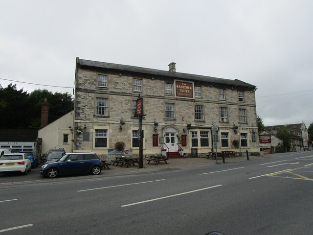
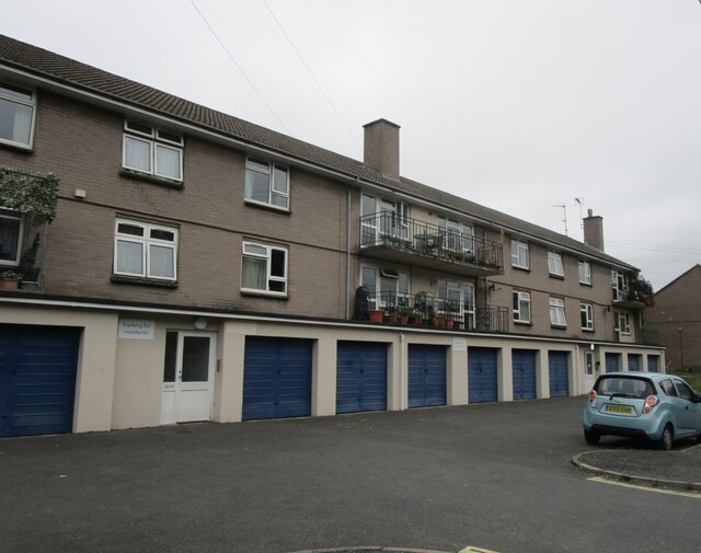
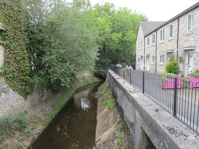
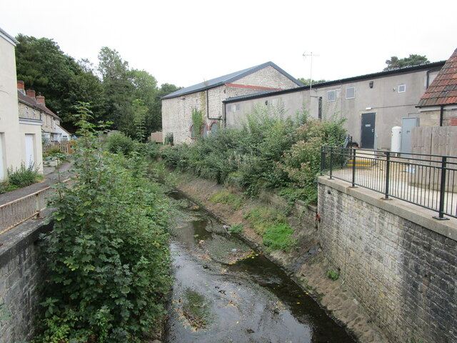
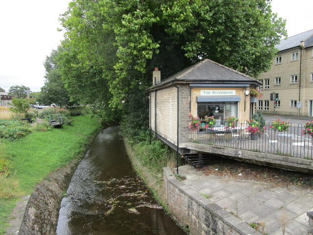
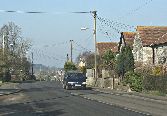
Lower Writhlington Images

Images are sourced within 2km of 51.295305/-2.4235423 or Grid Reference ST7055. Thanks to Geograph Open Source API. All images are credited.

Pit Wheel in Radstock The Pit Wheel monument in Radstock, photographed from the end of the Greenway, across Bath New Road A367.
The Colliers Way NCN24 starts by the wheel.
Pit Wheel in Radstock
The Pit Wheel monument in Radstock, photographed from the end of the Greenway, across Bath New Road A367. The Colliers Way NCN24 starts by the wheel.
Abandoned Co-op supermarket, Radstock The largest building in the centre of Radstock, now abandoned and replaced by a smaller store nearby.
Abandoned Co-op supermarket, Radstock
The largest building in the centre of Radstock, now abandoned and replaced by a smaller store nearby.
The Waldegrave Arms Hotel, Radstock Early nineteenth century hotel <span class="nowrap"><a title="https://historicengland.org.uk/listing/the-list/list-entry/1115174" rel="nofollow ugc noopener" href="https://historicengland.org.uk/listing/the-list/list-entry/1115174">Link</a><img style="margin-left:2px;" alt="External link" title="External link - shift click to open in new window" src="https://s1.geograph.org.uk/img/external.png" width="10" height="10"/></span>
The Waldegrave Arms Hotel, Radstock
Early nineteenth century hotel LinkExternal link
Flats, Waterloo Road, Radstock
Radstock Museum The former Radstock Market Hall dating from 1897 <span class="nowrap"><a title="https://historicengland.org.uk/listing/the-list/list-entry/1136837" rel="nofollow ugc noopener" href="https://historicengland.org.uk/listing/the-list/list-entry/1136837">Link</a><img style="margin-left:2px;" alt="External link" title="External link - shift click to open in new window" src="https://s1.geograph.org.uk/img/external.png" width="10" height="10"/></span>
Radstock Museum
The former Radstock Market Hall dating from 1897 LinkExternal link
Radstock Museum The former Radstock Market Hall of 1897 <span class="nowrap"><a title="https://historicengland.org.uk/listing/the-list/list-entry/1136837" rel="nofollow ugc noopener" href="https://historicengland.org.uk/listing/the-list/list-entry/1136837">Link</a><img style="margin-left:2px;" alt="External link" title="External link - shift click to open in new window" src="https://s1.geograph.org.uk/img/external.png" width="10" height="10"/></span>
Radstock Museum
The former Radstock Market Hall of 1897 LinkExternal link
Abandoned car park, Radstock Served the now closed Co-op supermarket.
Abandoned car park, Radstock
Served the now closed Co-op supermarket.
No more trolleys The large Co-op supermarket in Radstock has closed and been replaced by a smaller store elsewhere in the town.
No more trolleys
The large Co-op supermarket in Radstock has closed and been replaced by a smaller store elsewhere in the town.
Hope House health Centre, Radstock, under construction
National cycle route No. 24 in Radstock
The Wellow Brook at Radstock Heavily engineered. Looking upstream.
The Wellow Brook at Radstock
Heavily engineered. Looking upstream.
The Wellow Brook at Radstock Heavily engineered. Looking downstream.
The Wellow Brook at Radstock
Heavily engineered. Looking downstream.
Former industrial buildings, Radstock Now in retail use.
Former industrial buildings, Radstock
Now in retail use.
Fosseway Press, Radstock Long established printing company.
Fosseway Press, Radstock
Long established printing company.
Victoria Hall, Radstock Built as a Working Men's Institute in 1866 but turned in to council offices in 1902. Now a community arts centre.
Victoria Hall, Radstock
Built as a Working Men's Institute in 1866 but turned in to council offices in 1902. Now a community arts centre.
The beginning of Wells Road, Radstock
Barber on the corner of Fortescue Road, Radstock
The Wellow Brook at Radstock
Show me another place!

Lower Writhlington is located at Grid Ref: ST7055 (Lat: 51.295305, Lng: -2.4235423)

Unitary Authority: Bath and North East Somerset

Police Authority: Avon and Somerset

What 3 Words

///icon.crunched.deciding. Near Peasedown St John, Somerset

Related Wikis

Writhlington SSSI

Writhlington SSSI (grid reference ST703553) is a 0.5 hectare geological Site of Special Scientific Interest near the town of Radstock, Bath and North East...

Writhlington

Writhlington is a suburb of Radstock and 6 miles (10 km) north-west of Frome in the Bath and North East Somerset district of Somerset, England. == History... ==

Writhlington School

Writhlington School is a secondary school for pupils aged 11–18 in Writhlington, Bath and North East Somerset, England. It is the main secondary school...

Church of St James The Less, Foxcote

The Anglican Church of St James The Less in Foxcote, within the English county of Somerset, was rebuilt in the early 18th century incorporating a 15th...

Nearby Amenities

Located within 500m of 51.295305,-2.4235423
Barrier: stile
Lat/Long: 51.2993416/-2.4220016
Barrier: stile
Lat/Long: 51.298976/-2.4231256
Barrier: stile
Lat/Long: 51.2992544/-2.4220187
Barrier: stile
Lat/Long: 51.2992024/-2.4220016
Barrier: kissing_gate
Lat/Long: 51.2965056/-2.4301345
Barrier: stile
Lat/Long: 51.292605/-2.425205
Barrier: stile
Lat/Long: 51.2935054/-2.4241593
Barrier: kissing_gate
Lat/Long: 51.294609/-2.4232527
Barrier: kissing_gate
Lat/Long: 51.2962282/-2.4301456
Barrier: cycle_barrier
Lat/Long: 51.2975014/-2.4226316
Bench
Lat/Long: 51.2952059/-2.4235588
Post Box
Lat/Long: 51.2939236/-2.4260571
Ncn Milepost: mills
Sustrans Ref: MP1070
Lat/Long: 51.2972192/-2.4246555
Information: guidepost
Tourism: information
Lat/Long: 51.2972924/-2.4240404
Leisure: picnic_table
Lat/Long: 51.298236/-2.4190597
Power: pole
Lat/Long: 51.2971946/-2.4177028
Power: pole
Lat/Long: 51.2968117/-2.4188517
Power: pole
Lat/Long: 51.2964227/-2.4200184
Power: pole
Lat/Long: 51.2960276/-2.4222383
Power: pole
Lat/Long: 51.2954914/-2.4239539
Power: pole
Lat/Long: 51.2930002/-2.4241384
Power: pole
Lat/Long: 51.2938248/-2.4241779
Power: pole
Lat/Long: 51.2921866/-2.4241107
The data included in this document is from www.openstreetmap.org. The data is made available under ODbL.

Have you been to Lower Writhlington?

Leave your review of Lower Writhlington below (or comments, questions and feedback).