Lower Wootton

Settlement in Herefordshire

England

Lower Wootton

Pavilion at Almeley cricket ground This pavilion is on the cricket ground at Almeley, situated adjacent to the village hall and primary school.
Pavilion at Almeley cricket ground Credit: Fabian Musto

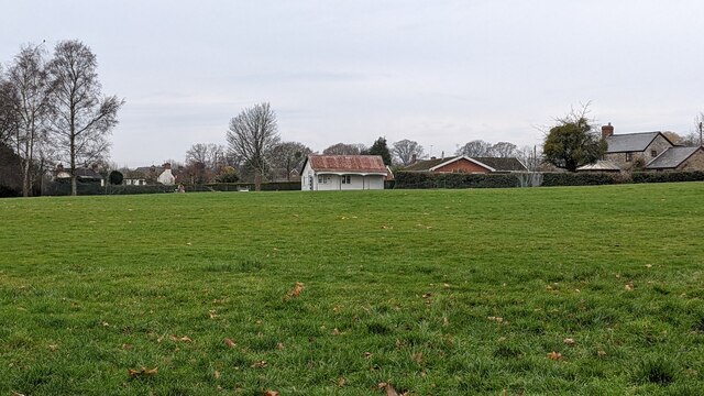
Lower Wootton is a small village located in the county of Herefordshire, England. Situated about 5 miles northwest of the town of Hereford, it is nestled in a picturesque rural setting surrounded by rolling hills and open countryside. The village is part of the civil parish of Yazor, and has a population of approximately 200 residents.

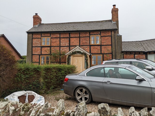
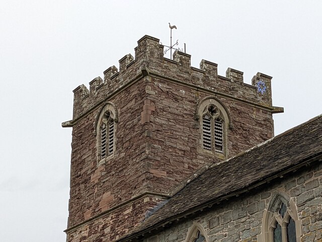
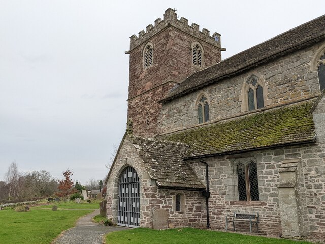
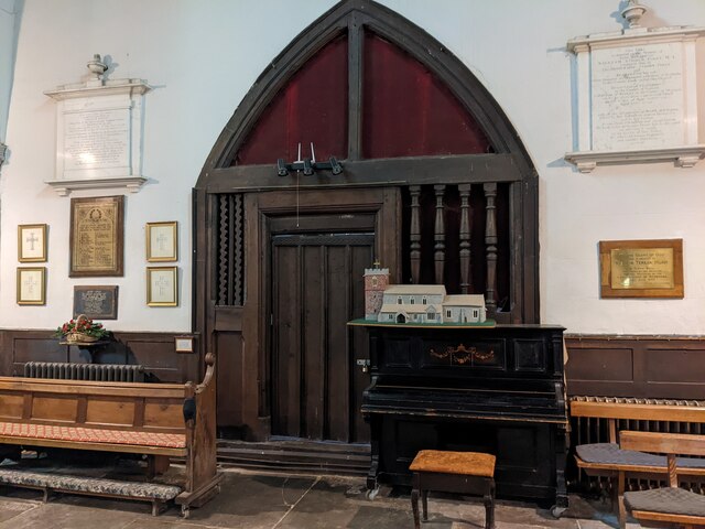
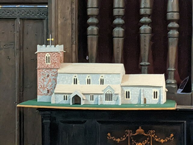
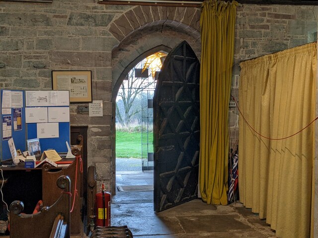
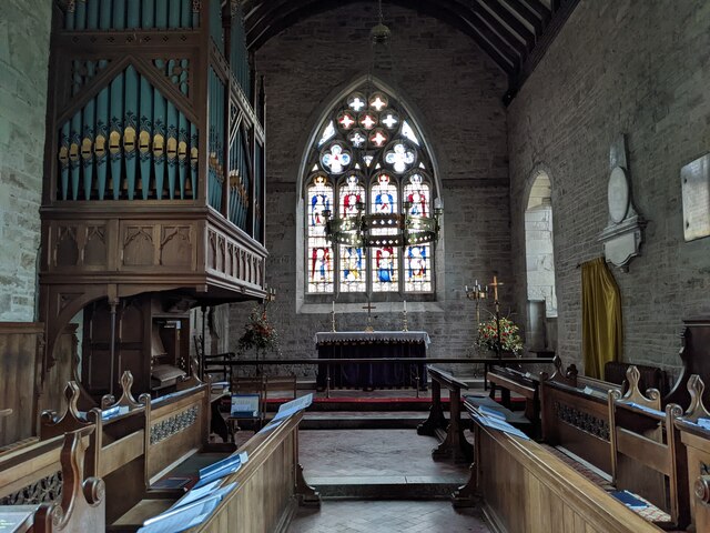
Lower Wootton comprises a collection of traditional stone houses and cottages, many of which date back several centuries, giving the village a charming and historic character. The village is known for its peaceful and tranquil atmosphere, offering a welcome retreat from the hustle and bustle of nearby urban areas.

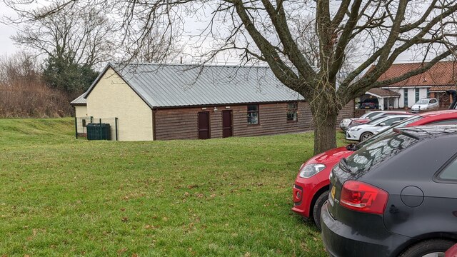
Despite its small size, Lower Wootton has a strong sense of community, with various local events and activities taking place throughout the year. The village benefits from a local pub, which serves as a popular meeting place for locals and visitors alike.

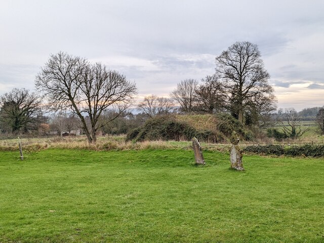
Surrounded by stunning natural beauty, Lower Wootton provides ample opportunities for outdoor pursuits, such as hiking, cycling, and horseback riding. The surrounding countryside offers breathtaking views and is home to an abundance of wildlife, making it a haven for nature enthusiasts.

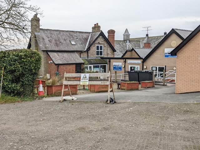
In terms of amenities, the village is serviced by nearby towns and villages, with a range of shops, schools, and healthcare facilities within easy reach. Despite its rural location, Lower Wootton enjoys good transport links, with major road networks connecting it to Hereford and other nearby towns.

Overall, Lower Wootton is a charming and idyllic village that offers a peaceful and rural lifestyle, combined with easy access to essential amenities and the natural beauty of the Herefordshire countryside.

If you have any feedback on the listing, please let us know in the comments section below.

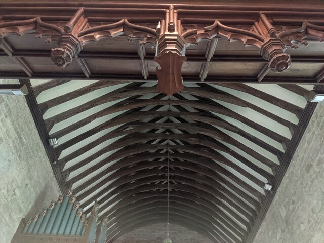
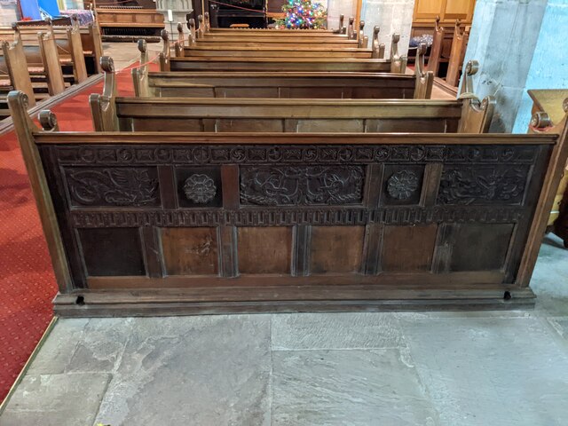
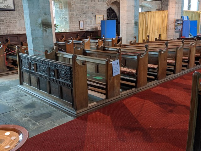
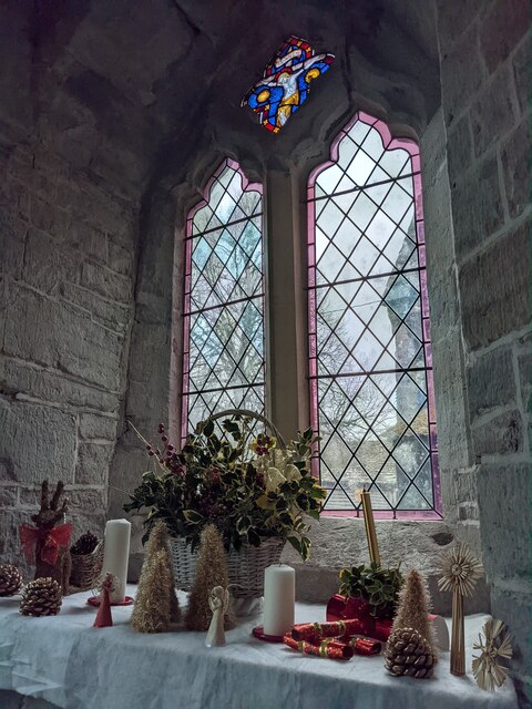
Lower Wootton Images

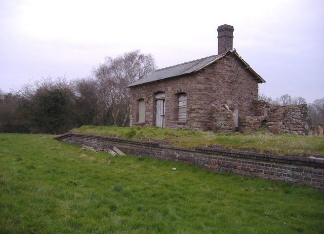
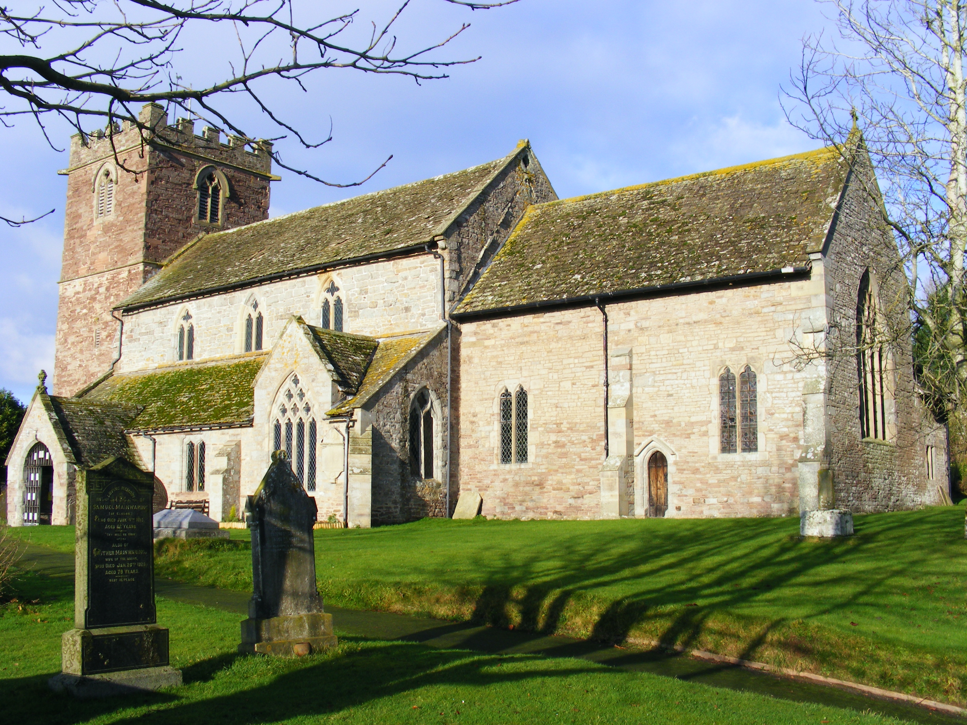
Images are sourced within 2km of 52.169604/-2.9841782 or Grid Reference SO3252. Thanks to Geograph Open Source API. All images are credited.

Pavilion at Almeley cricket ground This pavilion is on the cricket ground at Almeley, situated adjacent to the village hall and primary school.
Pavilion at Almeley cricket ground
This pavilion is on the cricket ground at Almeley, situated adjacent to the village hall and primary school.
Almeley village hall Here is the rear view of the village hall at Almeley from the car park by the primary school.
Almeley village hall
Here is the rear view of the village hall at Almeley from the car park by the primary school.
Almeley primary school Here is the primary school at Almeley, housed in a Victorian building that may have been built in the 1860s. This is the rear view of the school, and this view shows a modern extension to the right that dates from 2012. This was taken from the car park by the primary school.
Almeley primary school
Here is the primary school at Almeley, housed in a Victorian building that may have been built in the 1860s. This is the rear view of the school, and this view shows a modern extension to the right that dates from 2012. This was taken from the car park by the primary school.
Brick timber-framed house (Almeley) This brick timber-framed house is placed close to the primary school at Almeley, and this might have been built in the 17th century. The Christmas decorations on the porch looks nice, although this building does not have listed status.
Brick timber-framed house (Almeley)
This brick timber-framed house is placed close to the primary school at Almeley, and this might have been built in the 17th century. The Christmas decorations on the porch looks nice, although this building does not have listed status.
St. Mary's church (Bell tower | Almeley) Here is the west bell tower at St. Mary's parish church, which was built in the early 13th century. There was a Christmas star on the north-east turret when I visited.
St. Mary's church (Bell tower | Almeley)
Here is the west bell tower at St. Mary's parish church, which was built in the early 13th century. There was a Christmas star on the north-east turret when I visited.
St. Mary's church (Bell tower and porch | Almeley) Here are two structures in the west end of St. Peter's parish church in Almeley, and the bell tower dates from the early 13th century.
St. Mary's church (Bell tower and porch | Almeley)
Here are two structures in the west end of St. Peter's parish church in Almeley, and the bell tower dates from the early 13th century.
Star inside St. Mary's church (Porch | Almeley) This seven-pointed star hangs from the ceiling of the south porch at St. Mary's parish church in Almeley during December, and it lights up automatically when someone enters the church interior.
Star inside St. Mary's church (Porch | Almeley)
This seven-pointed star hangs from the ceiling of the south porch at St. Mary's parish church in Almeley during December, and it lights up automatically when someone enters the church interior.
Almeley Castle (Motte) Here is the motte south of the parish church of St. Mary at Almeley, taken from the interior of the south porch.
Almeley Castle (Motte)
Here is the motte south of the parish church of St. Mary at Almeley, taken from the interior of the south porch.
Christmas tree inside St. Mary's church (Almeley) The Christmas tree in the west end of the nave at St. Mary's parish church has nice decorations on it.
Christmas tree inside St. Mary's church (Almeley)
The Christmas tree in the west end of the nave at St. Mary's parish church has nice decorations on it.
Entrance to St. Mary's church (Bell tower | Almeley) The entrance to the bell tower in the west end of the nave at St. Mary's parish church has great oak carvings on it.
Entrance to St. Mary's church (Bell tower | Almeley)
The entrance to the bell tower in the west end of the nave at St. Mary's parish church has great oak carvings on it.
Model inside St. Mary's church (Almeley) This model of St. Mary's parish church is placed in the west end of the nave, although it was in the south aisle when I first visited St. Mary's parish church in August 2019.
Model inside St. Mary's church (Almeley)
This model of St. Mary's parish church is placed in the west end of the nave, although it was in the south aisle when I first visited St. Mary's parish church in August 2019.
Entrance to St. Mary's church (Almeley) This is the main entrance to St. Mary's parish church in Almeley, and this door is in the south aisle.
Entrance to St. Mary's church (Almeley)
This is the main entrance to St. Mary's parish church in Almeley, and this door is in the south aisle.
Ceiling inside St. Mary's church (Nave | Almeley) There are many Tudor roses seen in this roof in the east end of the nave at St. Mary's parish church. Built in the early 16th century, this type of ceiling is incredibly hard to find in the British Isles.
Ceiling inside St. Mary's church (Nave | Almeley)
There are many Tudor roses seen in this roof in the east end of the nave at St. Mary's parish church. Built in the early 16th century, this type of ceiling is incredibly hard to find in the British Isles.
St. Mary's church (Chancel | Almeley) Here is the two bay chancel in the east end of St. Mary's parish church in Almeley, built in the 14th century.
St. Mary's church (Chancel | Almeley)
Here is the two bay chancel in the east end of St. Mary's parish church in Almeley, built in the 14th century.
Ceiling inside St. Mary's church (Chancel | Almeley) Here is the open wagon chancel roof in the east end of St. Mary's parish church. The roof of the rood screen from the restoration of 1868-70 by George F. Bodley and Garner can be seen on the top of this photograph.
Ceiling inside St. Mary's church (Chancel | Almeley)
Here is the open wagon chancel roof in the east end of St. Mary's parish church. The roof of the rood screen from the restoration of 1868-70 by George F. Bodley and Garner can be seen on the top of this photograph.
St. Mary's church (Pews | Almeley) The eastern end of the pews in the nave includes panelling from the 17th century, which incorporates grotesques and arch motifs.
St. Mary's church (Pews | Almeley)
The eastern end of the pews in the nave includes panelling from the 17th century, which incorporates grotesques and arch motifs.
Window inside St. Mary's church (North aisle | Almeley) This window is placed in the east end of the north aisle at St. Mary's parish church. Christmas decorations can be seen below the window.
Window inside St. Mary's church (North aisle | Almeley)
This window is placed in the east end of the north aisle at St. Mary's parish church. Christmas decorations can be seen below the window.
Show me another place!

Lower Wootton is located at Grid Ref: SO3252 (Lat: 52.169604, Lng: -2.9841782)

Unitary Authority: County of Herefordshire

Police Authority: West Merica

What 3 Words

///twinkled.remote.skills. Near Kinnersley, Herefordshire

Related Wikis

Almeley railway station

Almeley railway station was a railway station on the line from Kington to Eardisley in the English county of Herefordshire. == History == Opened on the...

Almeley

Almeley (pronounced ) is a village and civil parish in Herefordshire, England. The civil parish includes the hamlets of Almeley Wooton and Upcott. The...

Holme Marsh

Holme Marsh (Originally Holmes) is a village in Herefordshire, England on the A480 road. It is near the Welsh border and the small town of Kington. A...

Woonton

Woonton is a hamlet which forms part of the parish of Almeley in Herefordshire, England. It is on the A480 road and is near the town of Kington.

Nearby Amenities

Located within 500m of 52.169604,-2.9841782
Lower Wootton
Place: locality
Source: OS OpenData StreetView
Lat/Long: 52.1695657/-2.9841429
Ford: yes
Lat/Long: 52.1682655/-2.985723
Barrier: stile
Source: survey+GPS
Lat/Long: 52.1671149/-2.9810167
Information: guidepost
Tourism: information
Lat/Long: 52.1665621/-2.9804374
Barrier: stile
Source: survey+GPS
Lat/Long: 52.1666914/-2.9806103
Upper Wootton
Place: locality
Source: OS OpenData StreetView
Lat/Long: 52.1705036/-2.9899979
Power: pole
Lat/Long: 52.1652391/-2.9823965
Power: pole
Lat/Long: 52.1657771/-2.9839924
Power: pole
Lat/Long: 52.1663184/-2.9856473
Power: pole
Lat/Long: 52.1666836/-2.9868221
Power: pole
Lat/Long: 52.1670999/-2.9880184
Power: pole
Lat/Long: 52.1678797/-2.9883912
Power: pole
Lat/Long: 52.1686759/-2.9887855
Power: pole
Lat/Long: 52.1694803/-2.9891959
Power: pole
Lat/Long: 52.17052/-2.989684
Power: pole
Lat/Long: 52.1712998/-2.9905316
Ford: yes
Lat/Long: 52.1705154/-2.9882837
Information: guidepost
Tourism: information
Lat/Long: 52.1688039/-2.9824818
The data included in this document is from www.openstreetmap.org. The data is made available under ODbL.

Have you been to Lower Wootton?

Leave your review of Lower Wootton below (or comments, questions and feedback).