Lower Foddington
Settlement in Somerset South Somerset
England
Lower Foddington
Lower Foddington is a small village located in the county of Somerset, England. Situated approximately 5 miles southwest of the town of Glastonbury, Lower Foddington is nestled amidst the picturesque countryside of the Somerset Levels.
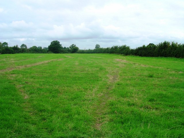
The village is characterized by its peaceful and idyllic setting, with rolling green hills and charming farmland surrounding it. It is primarily an agricultural community, with farming being the primary occupation of its residents. The fertile soil and favorable climate of the area make it an ideal location for agriculture, particularly the cultivation of crops such as wheat, barley, and potatoes.
Lower Foddington is a close-knit community, with a population of around 300 people. Despite its small size, the village features a few amenities to cater to the needs of its residents. These include a local pub, a village hall, and a small primary school, known as Foddington Primary School, which serves children from Lower Foddington and the neighboring areas.
The village also benefits from its proximity to the nearby attractions and amenities of Glastonbury, such as shops, restaurants, and leisure facilities. Additionally, the iconic Glastonbury Tor, a prominent hill featuring the remains of a medieval church, is a short distance away, offering stunning views of the surrounding countryside.
Lower Foddington is a tranquil and charming village, offering a peaceful lifestyle amidst the beauty of rural Somerset. Its strong agricultural heritage, close community ties, and proximity to nearby amenities make it an attractive place to live for those seeking a rural retreat.
If you have any feedback on the listing, please let us know in the comments section below.
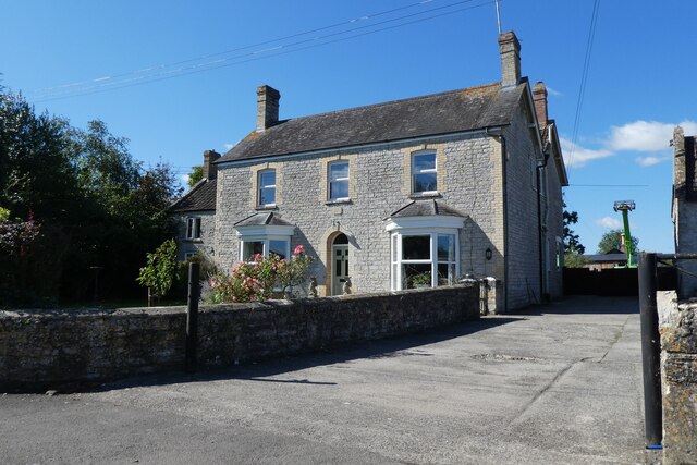
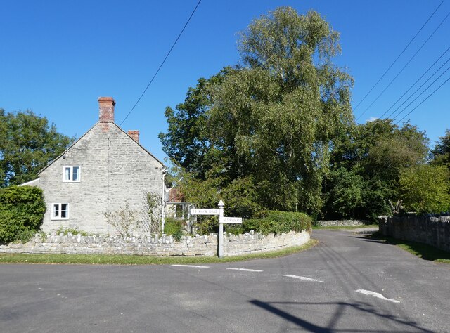
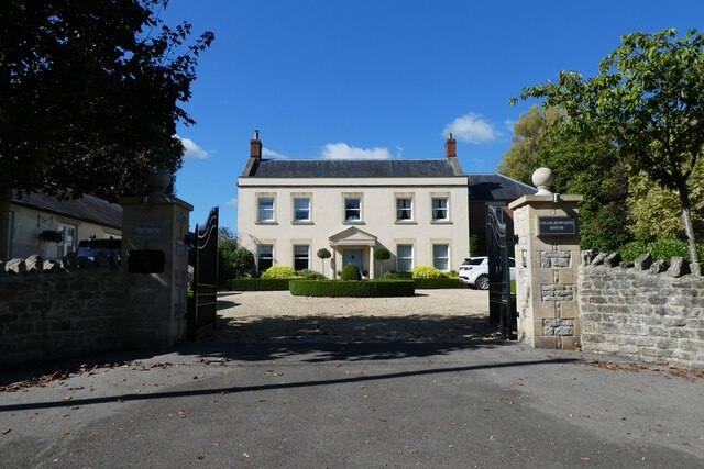
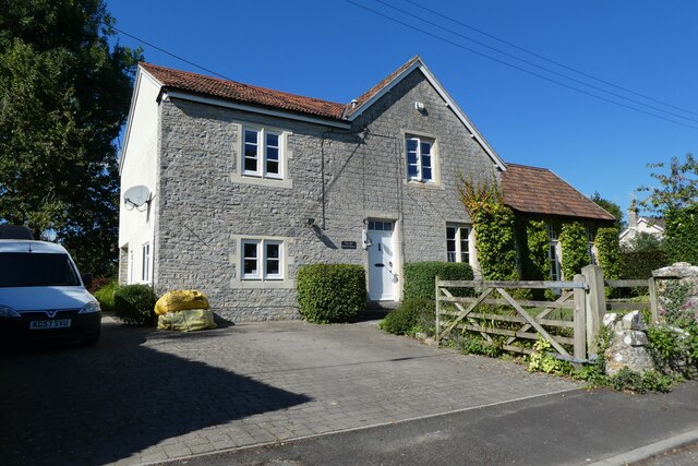
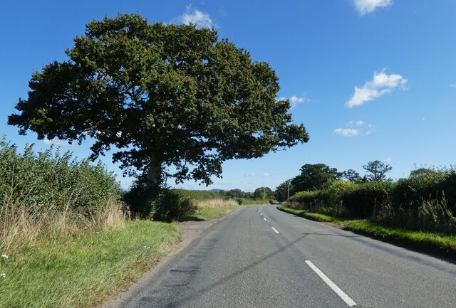
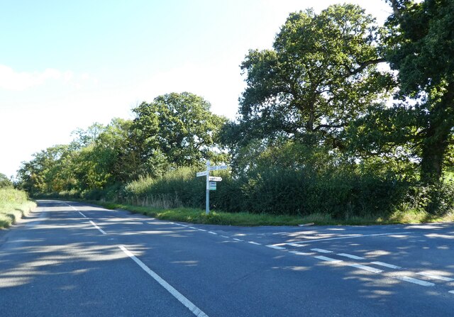
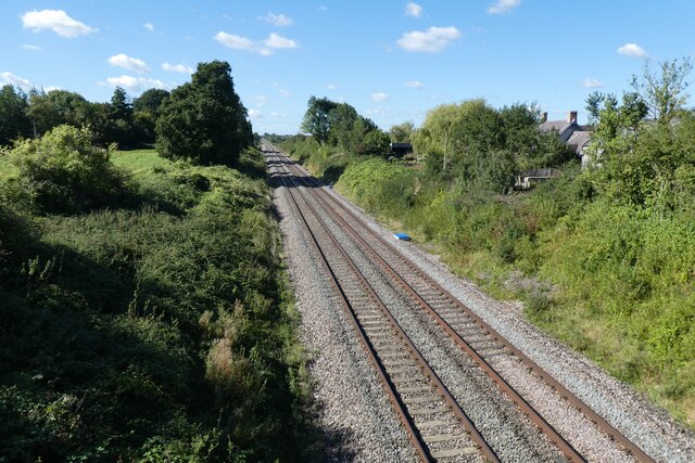
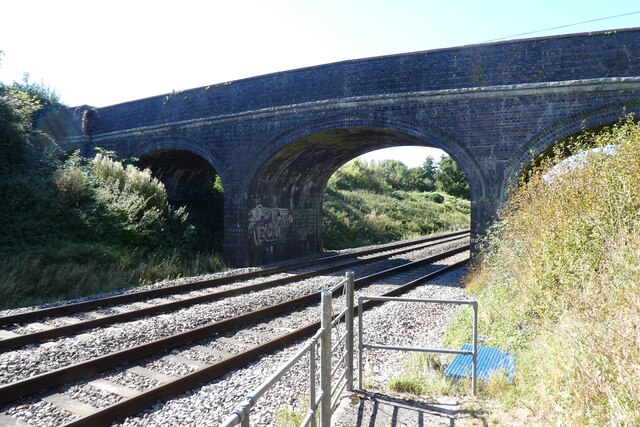
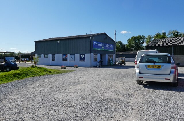
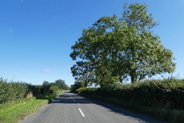
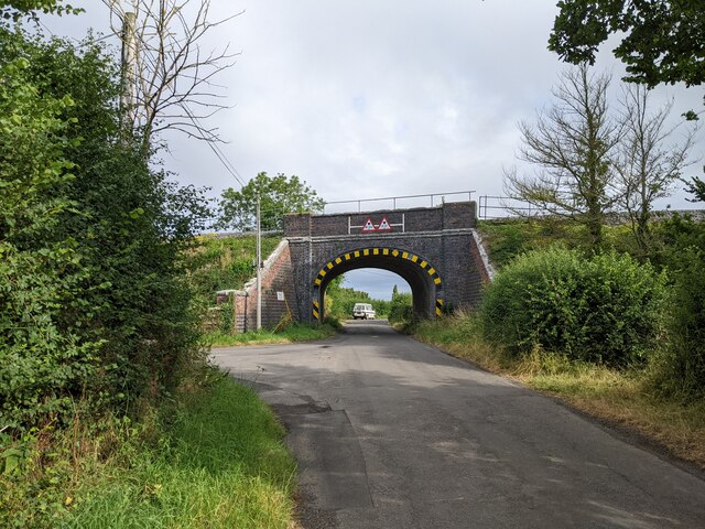
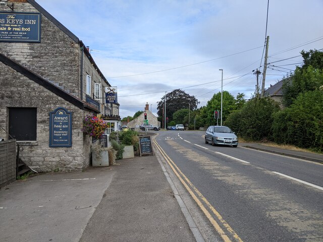
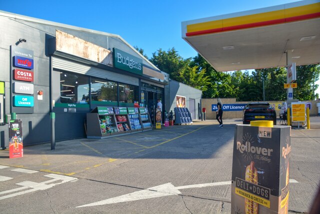
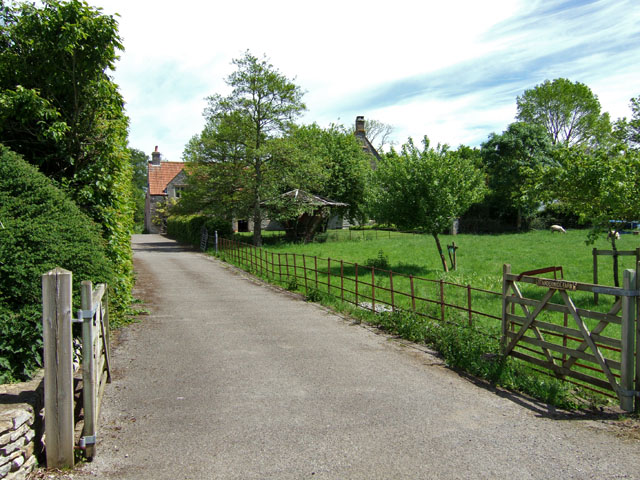
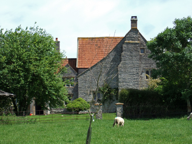
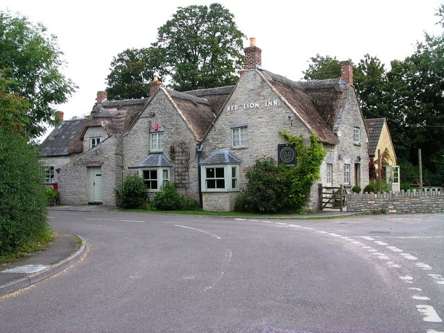
Lower Foddington Images
Images are sourced within 2km of 51.064193/-2.6016803 or Grid Reference ST5729. Thanks to Geograph Open Source API. All images are credited.

Lower Foddington is located at Grid Ref: ST5729 (Lat: 51.064193, Lng: -2.6016803)
Administrative County: Somerset
District: South Somerset
Police Authority: Avon and Somerset
What 3 Words
///sketch.galaxy.marine. Near Castle Cary, Somerset
Nearby Locations
Related Wikis

Babcary Meadows
Babcary Meadows (grid reference ST567293) is a 13.6 hectares (34 acres) biological Site of Special Scientific Interest north of Babcary in Somerset, notified...
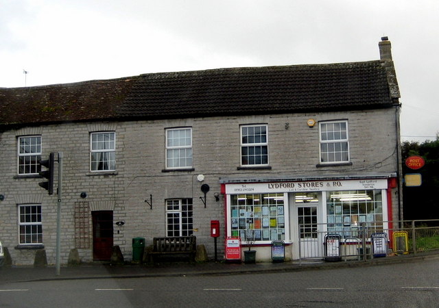
Lydford-on-Fosse
Lydford-on-Fosse is a village and civil parish in the Mendip district of Somerset, England. The parish includes the village of West Lydford and hamlet...

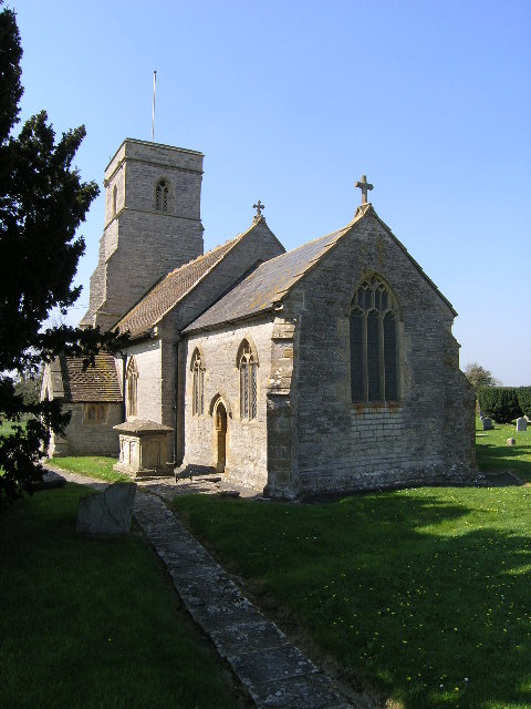
Church of the Blessed Virgin Mary, East Lydford
The Church of the Blessed Virgin Mary is a former Church of England church in East Lydford, Somerset, England. Designed by Benjamin Ferrey, it was built...
Lovington, Somerset
Lovington is a village and civil parish in Somerset, England, situated 3 miles (4.8 km) south west of Castle Cary, between the River Brue and River Cary...

Babcary
Babcary is a village and civil parish in Somerset, England, about 5 miles (8.0 km) east of Somerton and 6 miles (9.7 km) southwest of Castle Cary. The...

Church of the Holy Cross, Babcary
The Anglican Church of the Holy Cross in Babcary, Somerset, England, was built in the 14th century. It is a Grade II* listed building. == History == The...
Church of St Thomas of Canterbury, Lovington
The Church of St Thomas of Canterbury in Lovington, Somerset, England, was built in the 13th century. It is a Grade II* listed building. == History... ==
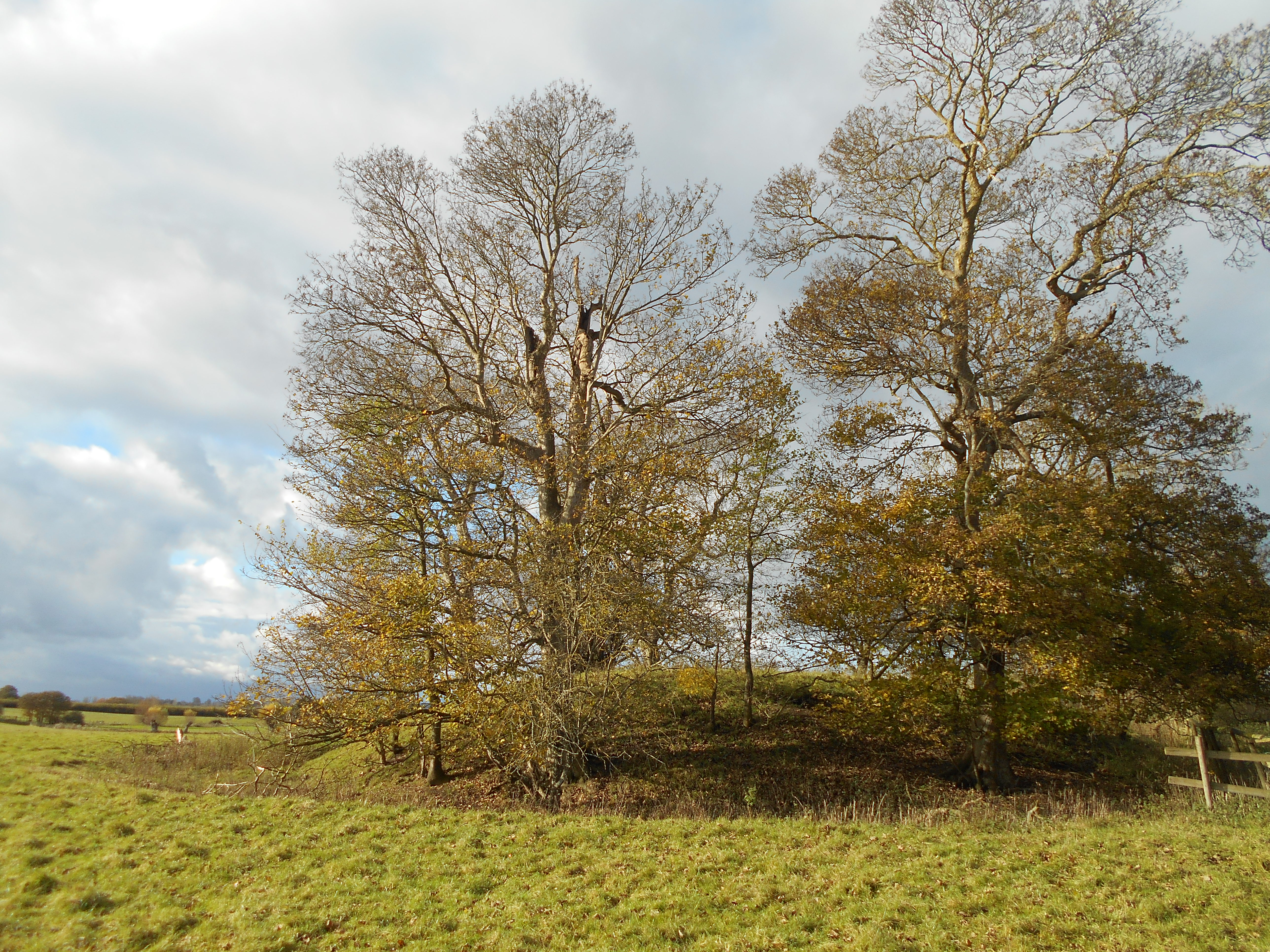
Wimble Toot
Wimble Toot is a burial mound or, possibly, a motte built near the village of Babcary, Somerset, England. It is a scheduled ancient monument with a list...
Nearby Amenities
Located within 500m of 51.064193,-2.6016803Have you been to Lower Foddington?
Leave your review of Lower Foddington below (or comments, questions and feedback).