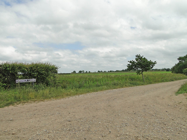
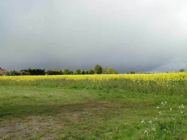
Low Common
Settlement in Norfolk South Norfolk
England
Low Common
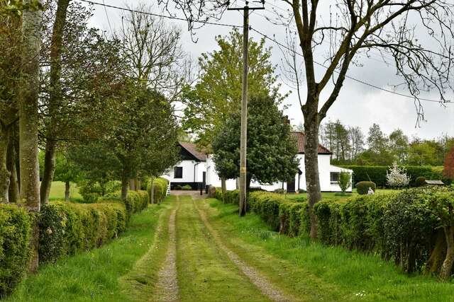
Low Common is a small village located in the county of Norfolk, England. Situated approximately 10 miles southeast of the city of Norwich, it is surrounded by picturesque countryside and is part of the South Norfolk district. The village is nestled on the banks of the River Tas, which adds to its natural charm and beauty.
Low Common is known for its peaceful and tranquil atmosphere, offering a welcome escape from the hustle and bustle of city life. The village is characterized by its quaint cottages and traditional architecture, reflecting its rich history and heritage. The community is close-knit, with a population of around 300 residents, fostering a strong sense of community spirit.
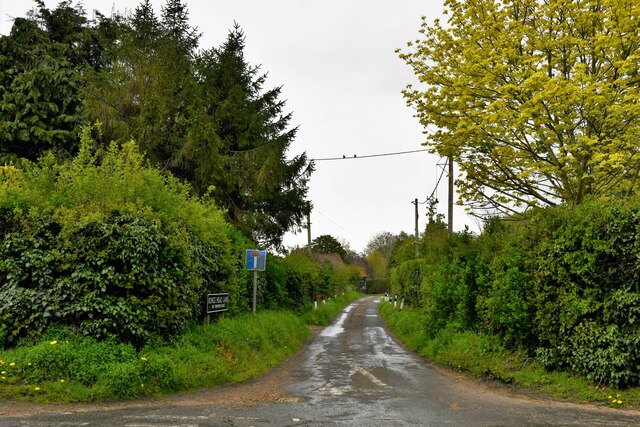
Although small in size, Low Common boasts a range of amenities and facilities to cater to the needs of its residents. These include a village hall, a local pub, and a small convenience store. Additionally, the surrounding countryside provides ample opportunities for outdoor activities such as walking, cycling, and fishing, making it an ideal location for nature enthusiasts.
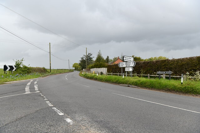
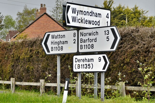
The village is well-connected to larger towns and cities in the region through a network of roads, making it easily accessible for both residents and visitors. Furthermore, its proximity to Norwich ensures that a wider range of amenities and services are within reach.
Overall, Low Common offers a peaceful and idyllic setting, combining natural beauty with a strong sense of community. It is a place where residents can enjoy a slower pace of life while still being able to access the conveniences of nearby urban areas.
If you have any feedback on the listing, please let us know in the comments section below.
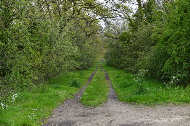
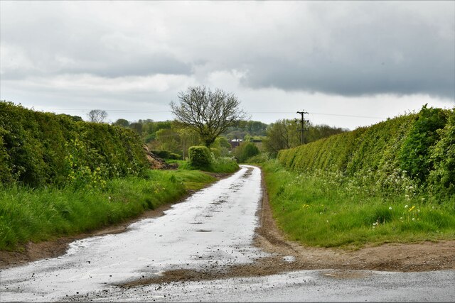
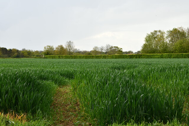
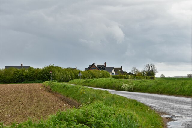
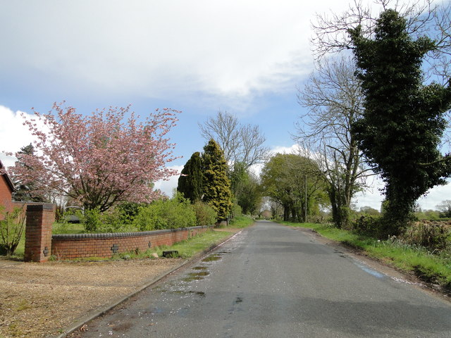
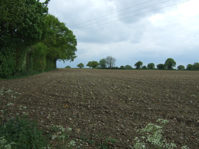
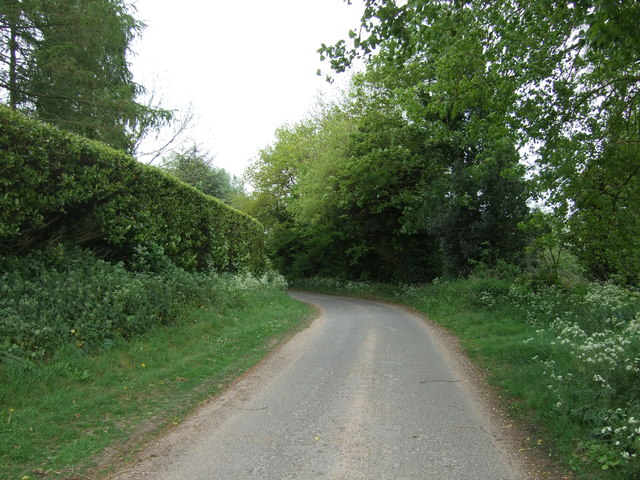
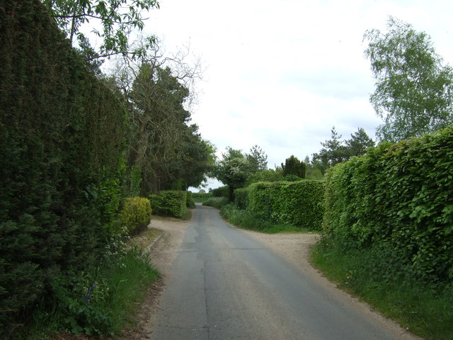
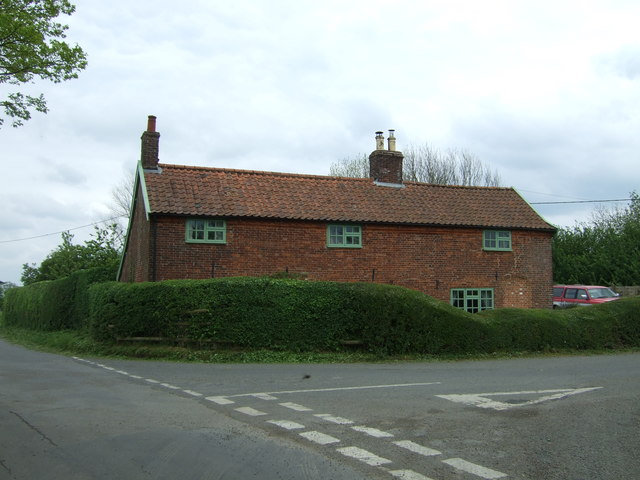
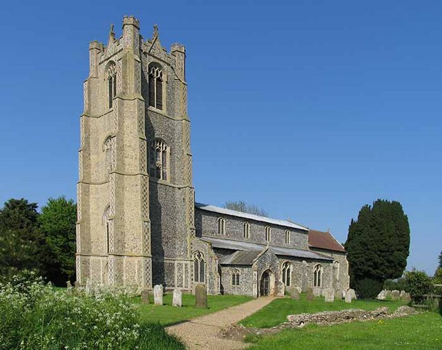
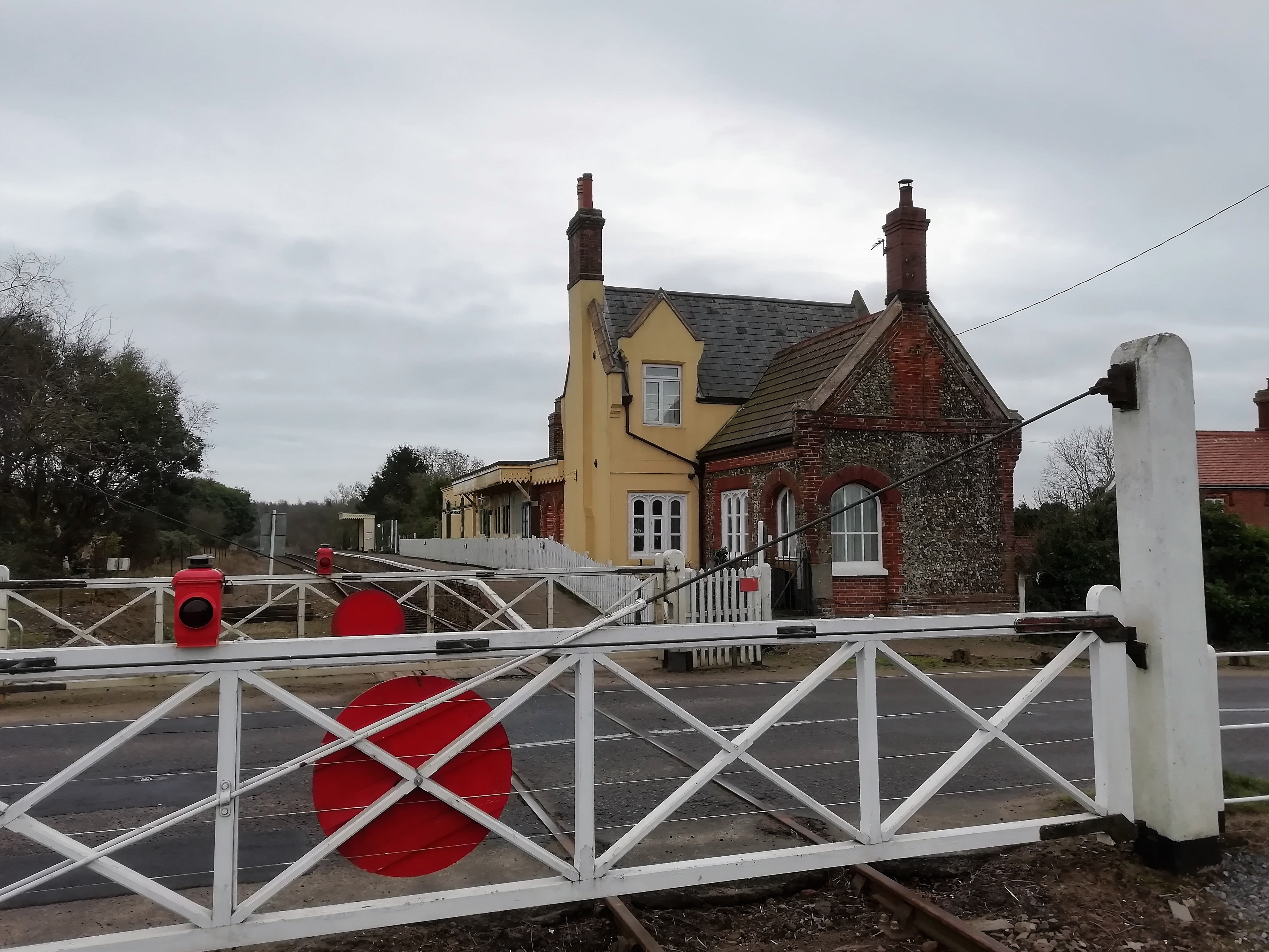
Low Common Images
Images are sourced within 2km of 52.570554/1.0248715 or Grid Reference TG0501. Thanks to Geograph Open Source API. All images are credited.

Low Common is located at Grid Ref: TG0501 (Lat: 52.570554, Lng: 1.0248715)
Administrative County: Norfolk
District: South Norfolk
Police Authority: Norfolk
What 3 Words
///wobbling.remove.severe. Near Hingham, Norfolk
Nearby Locations
Related Wikis
Deopham
Deopham is a village and civil parish in the English county of Norfolk. Deopham is located 3.9 miles west of Wymondham and 12 miles south-west of Norwich...

Sea Mere, Hingham
Sea Mere, Hingham is a 36.3-hectare (90-acre) biological Site of Special Scientific Interest close to the town of Hingham in Norfolk.The site has a natural...

Wicklewood
Wicklewood is a village and civil parish in the South Norfolk district of Norfolk, England. It is located 11 miles (18 km) west of Norwich next to the...

Morley Saint Botolph
Morley Saint Botolph is a village and former civil parish, now in the parish of Morley, in the South Norfolk district, in the county of Norfolk, England...

Hardingham
Hardingham is a civil parish in the English county of Norfolk. It covers an area of 4 square miles (9.78 km) with a population of 274 in 110 households...
Morley, Norfolk
Morley is a civil parish in the South Norfolk district, in the county of Norfolk, England. It includes the villages of Morley St Botolph and Morley St...

Morley Old Hall
Morley Old Hall is a Grade I-listed moated manor house built in the sixteenth century in the village of Morley Saint Peter, some twelve miles from the...
Kimberley Park railway station
Kimberley Park railway station is a railway station in the village of Kimberley in the English county of Norfolk. == History == The Wymondham-Dereham branch...
Nearby Amenities
Located within 500m of 52.570554,1.0248715Have you been to Low Common?
Leave your review of Low Common below (or comments, questions and feedback).