Low Common

Settlement in Norfolk Breckland

England

Low Common

The Street, South Lopham
The Street, South Lopham Credit: David Howard

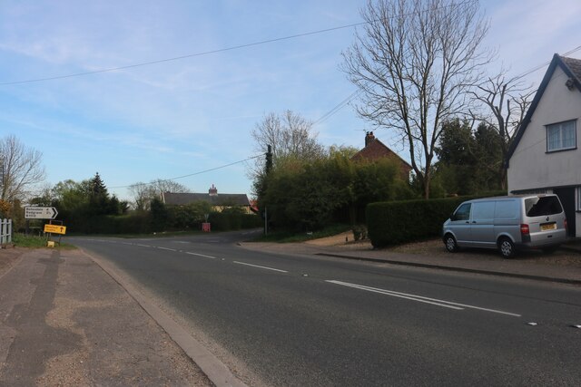
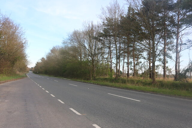
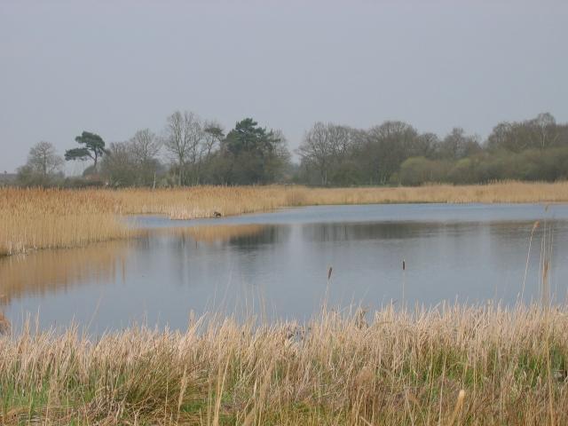
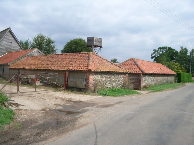
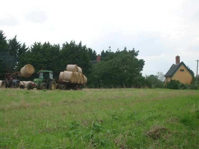
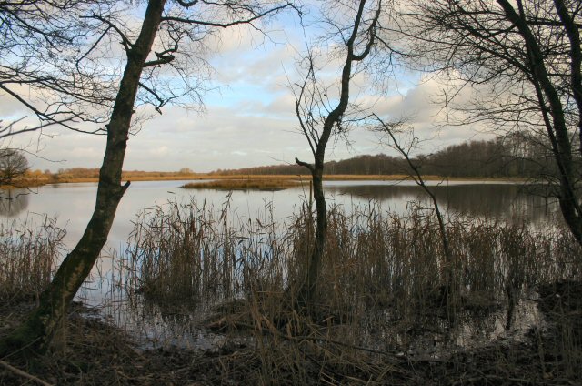
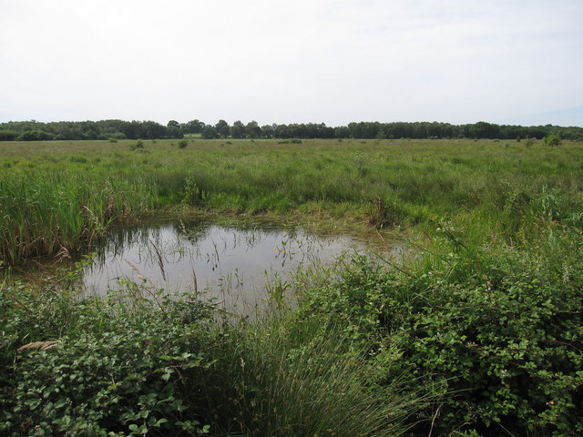
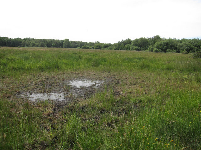
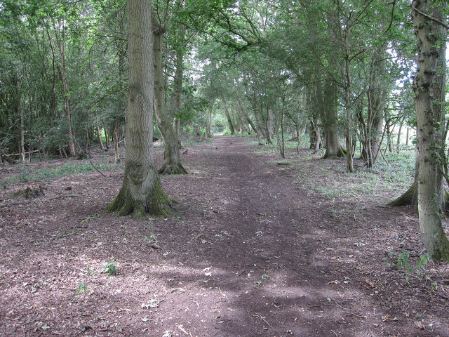
Low Common is a small village located in the county of Norfolk, England. Situated in the South Norfolk district, it lies approximately 10 miles south of Norwich, the county town. The village is surrounded by picturesque countryside, characterized by rolling fields and patches of woodland, making it an attractive location for nature enthusiasts and those seeking a peaceful retreat.

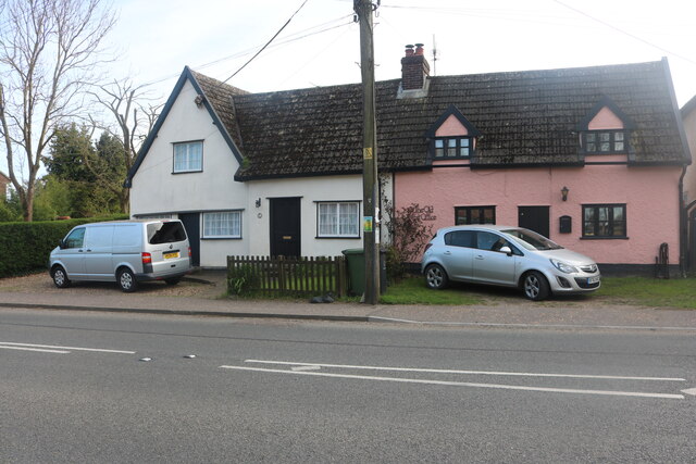
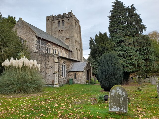
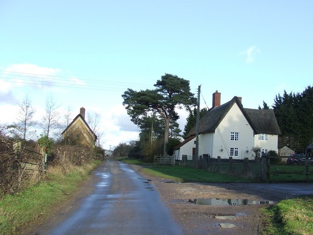
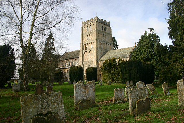
Low Common has a modest population, with a close-knit community that fosters a friendly and welcoming atmosphere. The village is known for its traditional architecture, with many buildings dating back to the 18th and 19th centuries. The charming village church, St. Mary's, is a prominent feature and serves as a focal point for community gatherings and events.

Agriculture plays a significant role in the local economy, with the fertile land supporting farming activities such as crop cultivation and animal husbandry. The village is also home to a few small businesses, including a local grocery store and a handful of quaint cafes and pubs, where residents and visitors can enjoy a drink or a meal.

Low Common benefits from its proximity to the city of Norwich, which provides access to a wider range of amenities and employment opportunities. The village is well-connected by road, with the A140 passing nearby, offering easy access to neighboring towns and cities.

Overall, Low Common offers a tranquil and picturesque setting, with a strong sense of community and a variety of amenities within reach. It is a place where residents can enjoy a peaceful lifestyle while still benefiting from the conveniences of nearby urban areas.

If you have any feedback on the listing, please let us know in the comments section below.
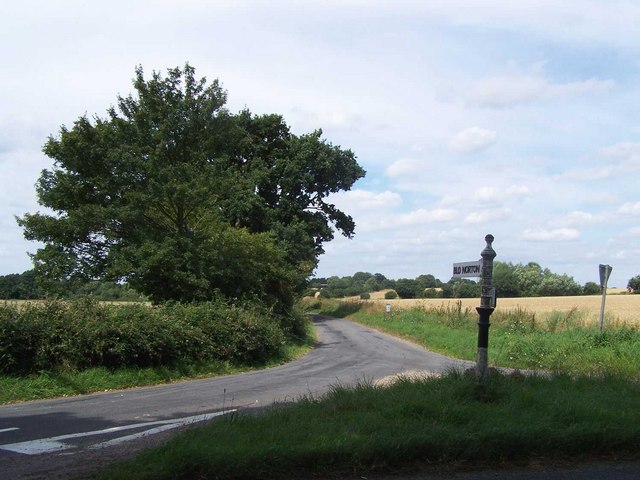
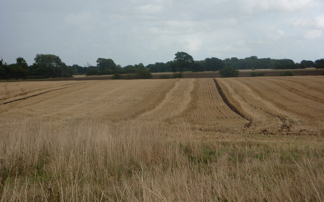
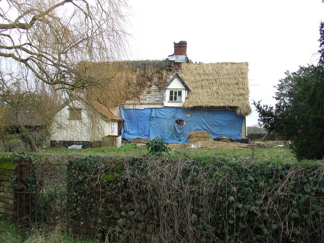
Low Common Images

Images are sourced within 2km of 52.384451/1.0156237 or Grid Reference TM0580. Thanks to Geograph Open Source API. All images are credited.

The Street, South Lopham
Diss Road, Pooley Street
Cottages on The Street, South Lopham The pink house is the old post office.
Cottages on The Street, South Lopham
The pink house is the old post office.
St Andrew's Church, South Lopham A magnificent Norman tower. So impressive on a village church.
St Andrew's Church, South Lopham
A magnificent Norman tower. So impressive on a village church.
Redgrave and South Lopham Fen Suffolk Wildlife Trust site on Norfolk/Suffolk Border.
Redgrave and South Lopham Fen
Suffolk Wildlife Trust site on Norfolk/Suffolk Border.
Dashes Farm
Dashes Farm
Field near Pond Farm, Fen Street The tractor on the left is unloading bales from the trailer
Field near Pond Farm, Fen Street
The tractor on the left is unloading bales from the trailer
Little Fen The source of the River Waveney.
Little Fen
The source of the River Waveney.
Middle Road to Blo' Norton
Fields south of Dashes Farm Looking east from the footpath from Redgrave Road to Low Road.
Fields south of Dashes Farm
Looking east from the footpath from Redgrave Road to Low Road.
Footbridge over the River Waveney The river forms the boundary between Suffolk and Norfolk.  This view is looking into Suffolk.
Footbridge over the River Waveney
The river forms the boundary between Suffolk and Norfolk. This view is looking into Suffolk.
River Waveney Seen from the footbridge.  Norfolk on the left, Suffolk on the right, looking east.
River Waveney
Seen from the footbridge. Norfolk on the left, Suffolk on the right, looking east.
Chequers Farm Chequers Farm in the process of restoration near to South Lopham, Norfolk.
Chequers Farm
Chequers Farm in the process of restoration near to South Lopham, Norfolk.
Pond Farm Looking east along minor road with Pond Farm on the right near to Redgrave, Suffolk.
Pond Farm
Looking east along minor road with Pond Farm on the right near to Redgrave, Suffolk.
Country Track Looking north along a track that is part of the Angles Way Footpath near to Redgrave, Suffolk.
Country Track
Looking north along a track that is part of the Angles Way Footpath near to Redgrave, Suffolk.
Redgrave and Lopham Fen Looking over a small pond and some wet grassland. This pond appears permanent, but several pools on the reserve are seasonal.
Redgrave and Lopham Fen
Looking over a small pond and some wet grassland. This pond appears permanent, but several pools on the reserve are seasonal.
Ephemeral pool, Redgrave and Lopham Fen This pool is almost dried up. This makes it suitable for Scarce Emerald Damselflies, a localised species which occurs here and a few other site in Breckland and along the Thames Estuary.
Ephemeral pool, Redgrave and Lopham Fen
This pool is almost dried up. This makes it suitable for Scarce Emerald Damselflies, a localised species which occurs here and a few other site in Breckland and along the Thames Estuary.
Redgrave and Lopham Fen Small patch of woodland. The reserve has a very wide range of habitats, mostly wetter than this.
Redgrave and Lopham Fen
Small patch of woodland. The reserve has a very wide range of habitats, mostly wetter than this.
Show me another place!

Low Common is located at Grid Ref: TM0580 (Lat: 52.384451, Lng: 1.0156237)

Administrative County: Norfolk

District: Breckland

Police Authority: Norfolk

What 3 Words

///lawful.producing.unit. Near Botesdale, Suffolk

Nearby Locations

Low Common Pooley Street

Related Wikis

Redgrave and Lopham Fens

Redgrave and Lopham Fens is a 127 hectare biological Site of Special Scientific Interest between Thelnetham in Suffolk and Diss in Norfolk. It is a national...

South Lopham

South Lopham is a village and civil parish in the English county of Norfolk. It covers an area of 7.91 km2 (3.05 sq mi) and had a population of 371 in...

Bressingham

Bressingham is a village and civil parish in the English county of Norfolk. It covers an area of 15.77 km2 (6.09 sq mi) and had a population of 751 in...

St Mary's Church, Redgrave

St Mary's Church is the redundant Church of England parish church of the village of Redgrave, Suffolk, England. It is a Grade I listed building. and is...

Nearby Amenities

Located within 500m of 52.384451,1.0156237
Created By: Potlatch 0.10f
Tourism: information
Lat/Long: 52.380934/1.0142138
Toilets
Lat/Long: 52.3815131/1.013833
Post Box
Collection Times: Mo-Fr 09:00; Sa 07:00
Post Box Design: hovis
Post Box Type: lamp
Ref: IP22 7177
Royal Cypher: GR
Royal Cypher Wikidata: Q33102273
Lat/Long: 52.3844017/1.0155945
Tourism: viewpoint
Lat/Long: 52.3814122/1.0138669
Barrier: stile
Lat/Long: 52.3859404/1.0200195
Bicycle Parking
Bicycle Parking: stands
Capacity: 12
Covered: no
Lat/Long: 52.3817691/1.0139171
Barrier: stile
Lat/Long: 52.3861811/1.0217931
Barrier: stile
Lat/Long: 52.3861857/1.0218347
Barrier: kissing_gate
Lat/Long: 52.3810463/1.0138733
Leisure: picnic_table
Lat/Long: 52.3814582/1.0141553
Bench
Lat/Long: 52.3815078/1.0141445
Barrier: kissing_gate
Lat/Long: 52.3825776/1.0161868
Leisure: picnic_table
Lat/Long: 52.381469/1.0141036
Give Way
Lat/Long: 52.3844476/1.0156145
Give Way
Lat/Long: 52.3844813/1.0156449
Waste Basket
Waste: dog_excrement
Lat/Long: 52.3817829/1.0139591
Barrier: kissing_gate
Lat/Long: 52.3807993/1.0139526
Man Made: monitoring_station
Monitoring Water Level: yes
Lat/Long: 52.3819116/1.0122391
Cafe
Cafe Piccolo
Cuisine: coffee_shop
Fhrs Id: 1114415
Opening Hours: Sa,Su 10:00-16:00
Website: https://www.facebook.com/cafepiccolosuffolk/
Lat/Long: 52.38162/1.0139349
Leisure: picnic_table
Lat/Long: 52.3813655/1.014105
Leisure: picnic_table
Lat/Long: 52.3813487/1.0140949
Leisure: picnic_table
Lat/Long: 52.3814858/1.0141392
Charging Station
Brand: Plug in Suffolk
Capacity: 2
Network: Fuuse
Operator: ElectRoad
Socket Type2: 2
Lat/Long: 52.3816483/1.0140614
The data included in this document is from www.openstreetmap.org. The data is made available under ODbL.

Have you been to Low Common?

Leave your review of Low Common below (or comments, questions and feedback).