Lound

Settlement in Lincolnshire South Kesteven

England

Lound

Toft lodge entrance
Toft lodge entrance Credit: Bob Harvey

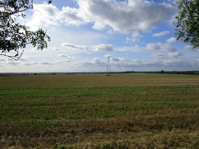
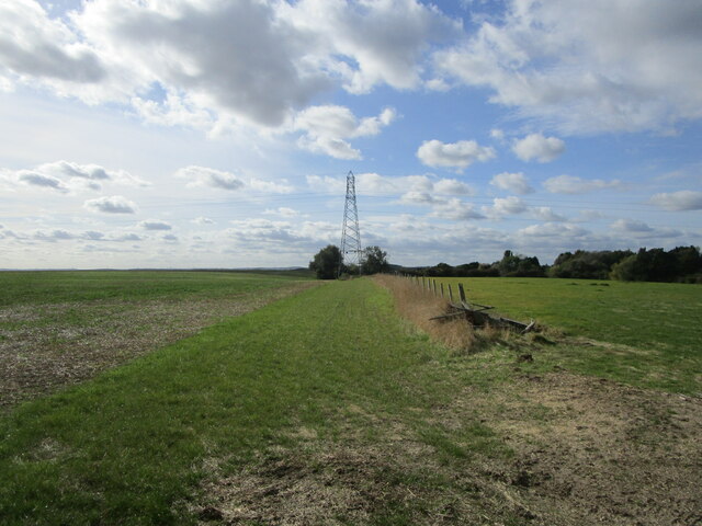
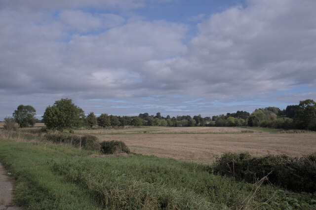
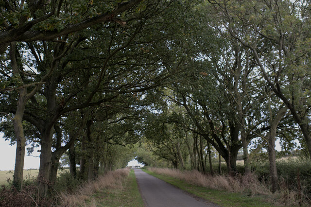
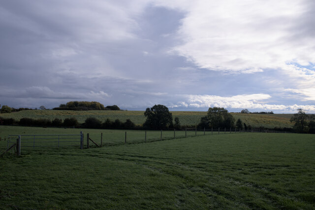
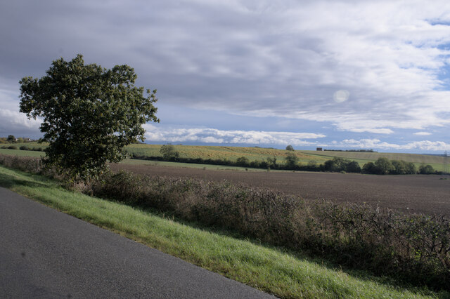
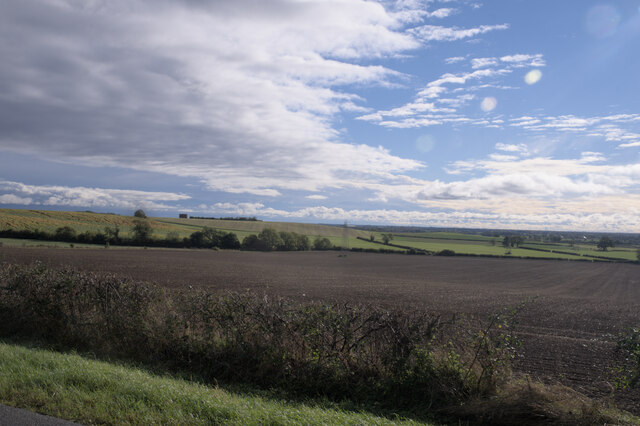
Lound is a small village located in the North East of Lincolnshire, England. It is situated near the town of Scunthorpe and is part of the civil parish of Lound and Manby. The village is known for its picturesque countryside, with rolling hills and open fields surrounding the area.

Lound has a population of around 500 residents and is a close-knit community with a strong sense of local pride. The village is home to a number of historic buildings, including the Grade II listed All Saints Church, which dates back to the 12th century.

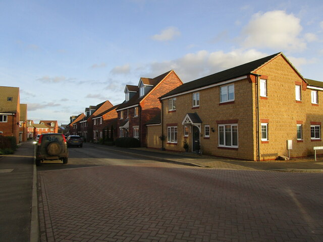
In terms of amenities, Lound has a village hall, a primary school, and a pub, providing residents with essential services and a sense of community. The village is also well-connected, with good transport links to nearby towns and cities.

Overall, Lound is a peaceful and charming village, offering residents a tranquil rural lifestyle within easy reach of larger urban areas. Its natural beauty and strong community spirit make it a desirable place to live for those seeking a quiet and idyllic setting in Lincolnshire.

If you have any feedback on the listing, please let us know in the comments section below.
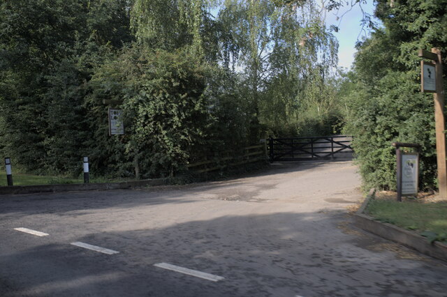
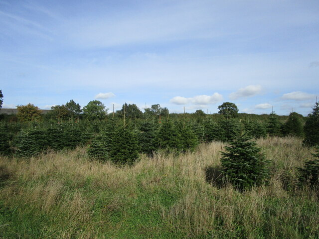
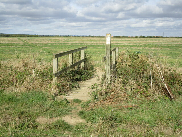
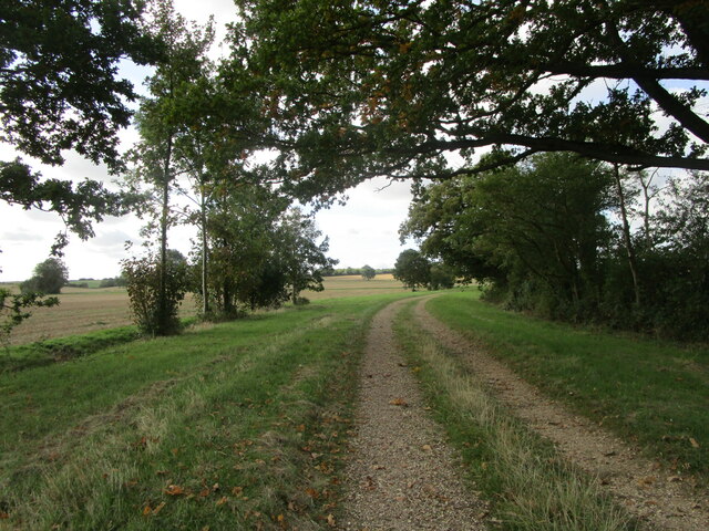
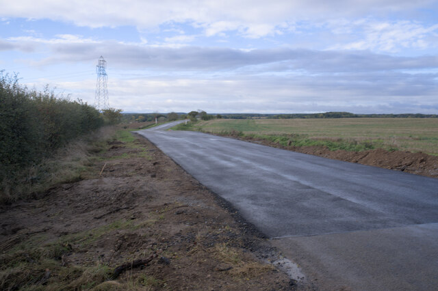
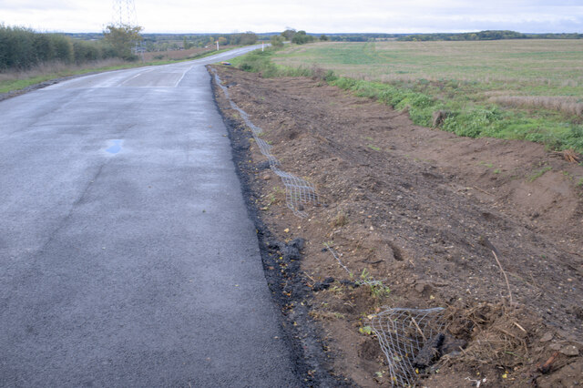
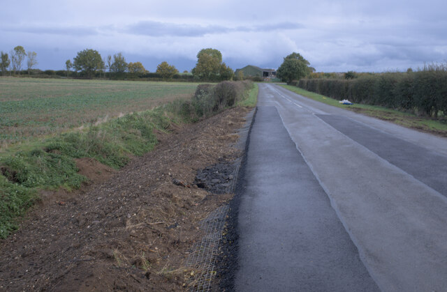
Lound Images

Images are sourced within 2km of 52.750884/-0.41658285 or Grid Reference TF0618. Thanks to Geograph Open Source API. All images are credited.

Toft lodge entrance
Toft lodge entrance
Christmas tree plantation near Thurlby
Footbridge on the footpath from Thurlby to the A6121
Farm track near Northorpe
Stubble field and pylon near Toft
Field boundary and pylon near Roundhills Lodge
Toward Toft
Toward Toft
Arched with trees
Arched with trees
New road surface This was closed for a week to effect these repairs.  This is the spot seen in <a href="https://www.geograph.org.uk/photo/6865678">TF0716 : Badger hole</a> and <a href="https://www.geograph.org.uk/photo/6859588">TF0716 : The works of the badger</a>, where between spring 2019 and autumn 2021 the road was reduced to single lane working because it had been undermined by badgers.  Substantial repairs have now been completed.

See <a href="https://www.geograph.org.uk/photo/7004497">TF0716 : Badger-proof verge</a> <a href="https://www.geograph.org.uk/photo/7004499">TF0716 : Construction detail</a> and <a href="https://www.geograph.org.uk/photo/7004502">TF0816 : Verge repairs </a> for more details
New road surface
This was closed for a week to effect these repairs. This is the spot seen in TF0716 : Badger hole and TF0716 : The works of the badger, where between spring 2019 and autumn 2021 the road was reduced to single lane working because it had been undermined by badgers. Substantial repairs have now been completed. See TF0716 : Badger-proof verge TF0716 : Construction detail and TF0816 : Verge repairs for more details
Badger-proof verge In an attempt to stop the recurrence of a badger-induced road collapse, the verge has been removed, lined with steel mesh, and reinstated over a considerable distance. (about 2 minutes walk for a badger).

See also <a href="https://www.geograph.org.uk/photo/6865678">TF0716 : Badger hole</a> and <a href="https://www.geograph.org.uk/photo/7004492">TF0716 : New road surface</a>.
Badger-proof verge
In an attempt to stop the recurrence of a badger-induced road collapse, the verge has been removed, lined with steel mesh, and reinstated over a considerable distance. (about 2 minutes walk for a badger). See also TF0716 : Badger hole and TF0716 : New road surface.
Construction detail The precautions described in <a href="https://www.geograph.org.uk/photo/7004497">TF0716 : Badger-proof verge</a> against burrowing under the road.

The same technique can be seen in <a href="https://www.geograph.org.uk/photo/7004502">TF0816 : Verge repairs </a>.
Construction detail
The precautions described in TF0716 : Badger-proof verge against burrowing under the road. The same technique can be seen in TF0816 : Verge repairs .
Verge repairs  At either end of the new surface seen in <a href="https://www.geograph.org.uk/photo/7004492">TF0716 : New road surface</a> the verge edges have been repaired and the verge reinforced as seen in <a href="https://www.geograph.org.uk/photo/7004499">TF0716 : Construction detail</a>.
Verge repairs
At either end of the new surface seen in TF0716 : New road surface the verge edges have been repaired and the verge reinforced as seen in TF0716 : Construction detail.
Clouds and hillside Funny old game, photography.  The large stand of maize on the hill looked vivid against the green of winter wheat and the grey clouds.  Out of the camera, the clouds have acquired a luscious detail, and the crop has faded into the background.
Clouds and hillside
Funny old game, photography. The large stand of maize on the hill looked vivid against the green of winter wheat and the grey clouds. Out of the camera, the clouds have acquired a luscious detail, and the crop has faded into the background.
More sunlight Not unlike the view in <a href="https://www.geograph.org.uk/photo/7004513">TF0816 : Clouds and hillside</a>, but with rapidly improving light.
More sunlight
Not unlike the view in TF0816 : Clouds and hillside, but with rapidly improving light.
Clearing cloud The cold front that had brought the morning's rain was clearing away to the north-east, leaving a better sky behind it.
Clearing cloud
The cold front that had brought the morning's rain was clearing away to the north-east, leaving a better sky behind it.
Musselburgh Way, Bourne Typical cramped modern estate.
Musselburgh Way, Bourne
Typical cramped modern estate.
Next to the Co-op The community shopping centre at <a href="https://www.geograph.org.uk/photo/6459398">TF0819 : Co-op foodstore</a> also has these two units, the charity shop and the coffee shop - and a defibrillator.
Next to the Co-op
The community shopping centre at TF0819 : Co-op foodstore also has these two units, the charity shop and the coffee shop - and a defibrillator.
Defibrillator box Between the shops seen in <a href="https://www.geograph.org.uk/photo/7070345">TF0819 : Next to the Co-op</a>.  I think this is the seventh defibrillator I have spotted in town.
Defibrillator box
Between the shops seen in TF0819 : Next to the Co-op. I think this is the seventh defibrillator I have spotted in town.
Show me another place!

Lound is located at Grid Ref: TF0618 (Lat: 52.750884, Lng: -0.41658285)

Division: Parts of Kesteven

Administrative County: Lincolnshire

District: South Kesteven

Police Authority: Lincolnshire

What 3 Words

///wishing.losing.occur. Near Bourne, Lincolnshire

Nearby Locations

Lound

Related Wikis

Lound, Lincolnshire

Lound is a village in the South Kesteven district of Lincolnshire, England. It is situated about 2 miles (3 km) south-west from the town of Bourne. Originally...

Toft, Lincolnshire

Toft is a small village in the South Kesteven district of Lincolnshire, England. It is situated approximately 2 miles (3 km) south-west from Bourne on...

Bourne Woods

Bourne Woods are situated near Bourne, Lincolnshire, England, and includes Bourne Wood and Fox Wood. Bourne Wood (National Grid reference TF0821; Co...

Manthorpe, Bourne

Manthorpe is a village in the civil parish of Toft with Lound and Manthorpe, in the South Kesteven district of Lincolnshire, England. It lies 0.5 miles...

Nearby Amenities

Located within 500m of 52.750884,-0.41658285
Lound
Place: hamlet
Population: 359
Source: survey
Lat/Long: 52.750616/-0.4171994
Bus Stop
Lound House
Bus: yes
Naptan AtcoCode: 270000014547
Naptan Bearing: S
Naptan CommonName: Lound House
Naptan Indicator: S - bound
Naptan Landmark: Lound House
Naptan NaptanCode: linjpwjg
Naptan Street: Lound
Naptan Verified: no
Public Transport: platform
Source: naptan_import
Lat/Long: 52.7500173/-0.416523
Bus Stop
Lound House
Bus: yes
Naptan AtcoCode: 2700LLC03095
Naptan Bearing: N
Naptan CommonName: Lound House
Naptan Indicator: N - bound
Naptan Landmark: Lound House
Naptan NaptanCode: linawjgm
Naptan Street: Lound
Naptan Verified: no
Public Transport: platform
Source: naptan_import
Lat/Long: 52.7500013/-0.4166718
Post Box
Ele: 27
Lat/Long: 52.7506241/-0.4166844
Ele: 26
Information: board
Tourism: information
Lat/Long: 52.7505997/-0.4166924
Noexit: yes
Lat/Long: 52.7507207/-0.4169928
Note: End of Public Highway
Lat/Long: 52.7488516/-0.4216663
Power: tower
Lat/Long: 52.7483568/-0.410657
Power: tower
Lat/Long: 52.7502/-0.4115977
Power: tower
Lat/Long: 52.7527559/-0.4130237
Power: tower
Lat/Long: 52.7550115/-0.4140983
Hillside Farm
Place: farm
Source: Bing
Lat/Long: 52.7496086/-0.4207505
Manor House Farm
Place: farm
Source: Bing
Lat/Long: 52.7519475/-0.4161104
Noexit: yes
Lat/Long: 52.7517725/-0.4162707
Noexit: yes
Lat/Long: 52.7502368/-0.4188881
Noexit: yes
Lat/Long: 52.7500865/-0.4186522
Noexit: yes
Lat/Long: 52.7502985/-0.4170079
The data included in this document is from www.openstreetmap.org. The data is made available under ODbL.

Have you been to Lound?

Leave your review of Lound below (or comments, questions and feedback).