Lotts
Settlement in Sutherland
Scotland
Lotts
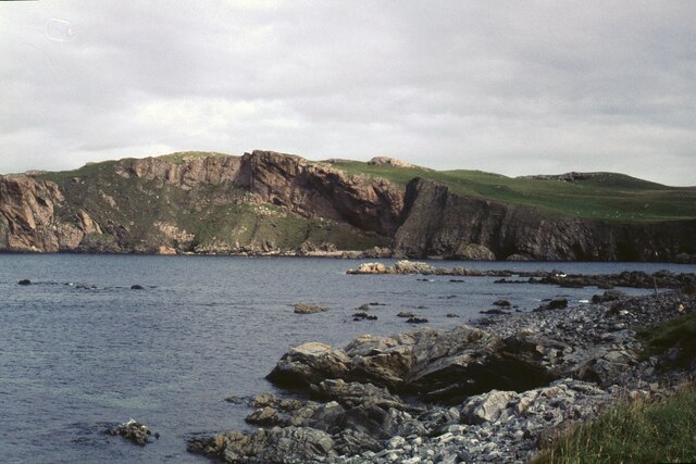
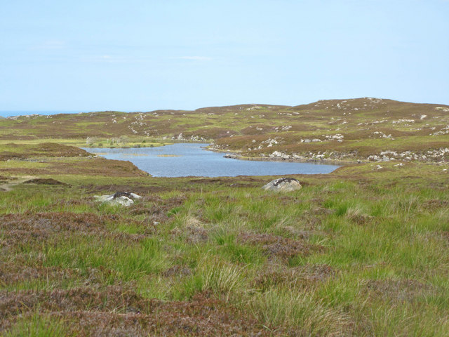
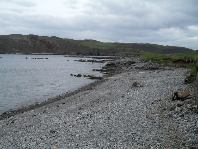
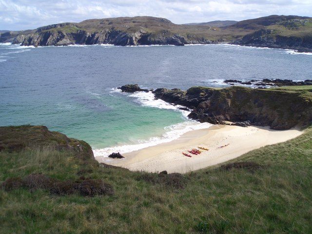
Lotts is a small village located in the county of Sutherland, in the northern part of Scotland. Nestled amidst the picturesque Scottish Highlands, Lotts is known for its breathtaking natural beauty and tranquil atmosphere. The village is situated near the shores of Loch Shin, a large freshwater lake that offers stunning views and recreational activities such as fishing and boating.
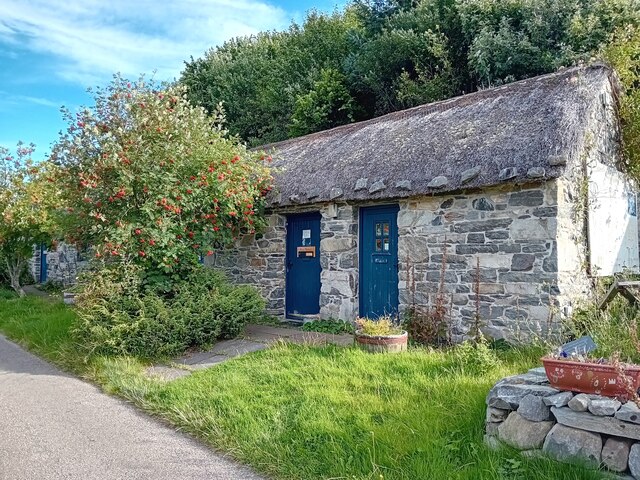
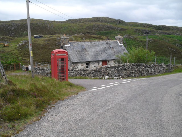
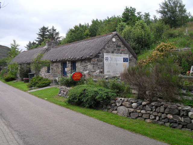
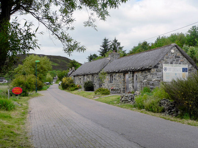
Lotts is characterized by its quaint charm and traditional Scottish architecture. The village is comprised of a handful of cottages and houses, with a population of around 100 residents. The community is tightly knit, with a friendly and welcoming atmosphere.
Surrounded by rolling hills and lush greenery, Lotts provides ample opportunities for outdoor enthusiasts. The area is a haven for hikers and nature lovers, with numerous scenic trails and pathways to explore. Wildlife is abundant in the region, and visitors may spot red deer, golden eagles, and other native species.
Despite its small size, Lotts boasts a few amenities for its residents and visitors. There is a small village shop that caters to basic needs, as well as a cozy pub where locals gather for a pint and conversation. For more extensive shopping and dining options, the nearby town of Lairg is easily accessible.
Lotts offers a peaceful and idyllic retreat for those seeking a respite from the hustle and bustle of city life. With its stunning natural surroundings and friendly community, the village provides an authentic Scottish experience that is sure to captivate visitors.
If you have any feedback on the listing, please let us know in the comments section below.
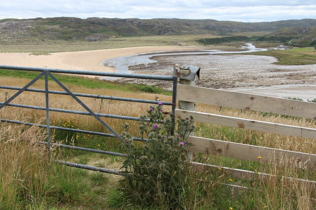
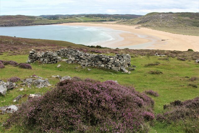
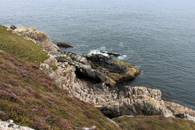
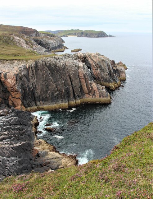
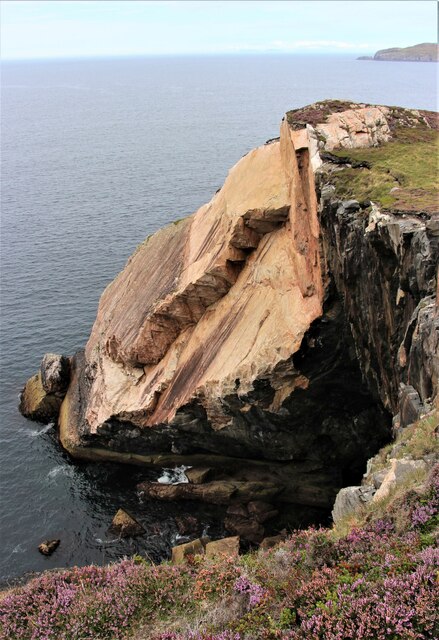
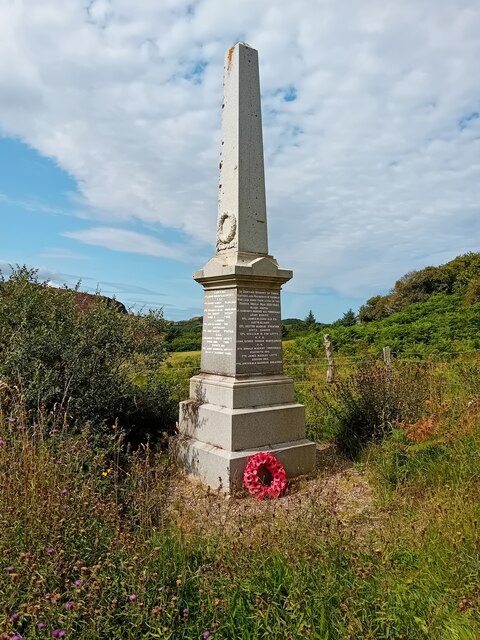
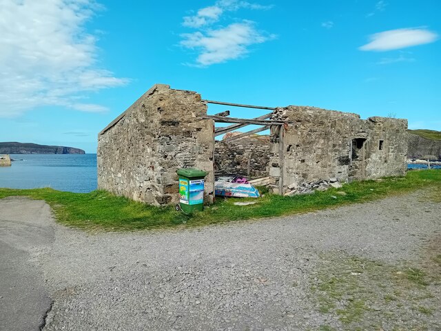
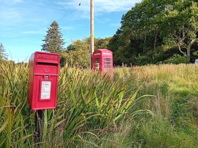
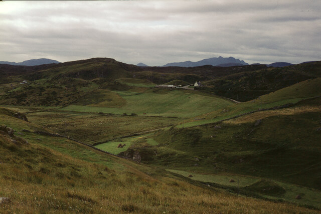
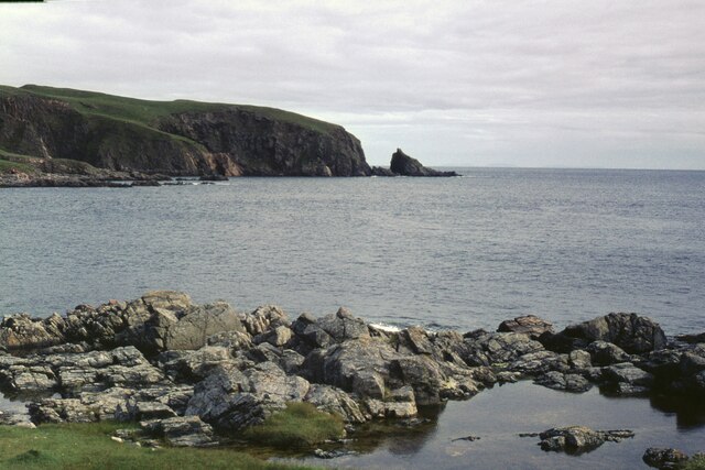
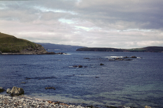
Lotts Images
Images are sourced within 2km of 58.533485/-4.2871781 or Grid Reference NC6662. Thanks to Geograph Open Source API. All images are credited.
Lotts is located at Grid Ref: NC6662 (Lat: 58.533485, Lng: -4.2871781)
Unitary Authority: Highland
Police Authority: Highlands and Islands
What 3 Words
///motive.clues.repeats. Near Forsinard, Highland
Related Wikis
Achtoty
Achtoty (Scottish Gaelic: Achadh Toitidh) is a remote hamlet in the Scottish Highland Council area. Achtoty is about 26 miles (42 km) west of Thurso....

Skerray
Skerray (Scottish Gaelic: Sgeirea) is a remote small crofting hamlet and fishing port on the north coast of Sutherland, Scotland. It is located 7+3⁄4 miles...
Skerray Bay
Skerray Bay is an arm of the Atlantic Ocean, located on the north coast of Sutherland, Highland, Scotland. Small and rocky, it is situated to the north...

Torrisdale, Sutherland
Torrisdale is a remote hamlet on the western shore of Torrisdale Bay in Sutherland, Highland, on the north coast of Scotland. It is 3 kilometres (2 mi...
Nearby Amenities
Located within 500m of 58.533485,-4.2871781Have you been to Lotts?
Leave your review of Lotts below (or comments, questions and feedback).