Longnewton
Settlement in Roxburghshire
Scotland
Longnewton
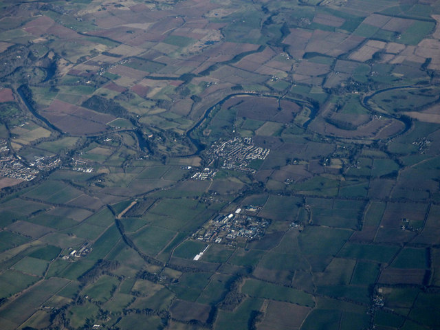
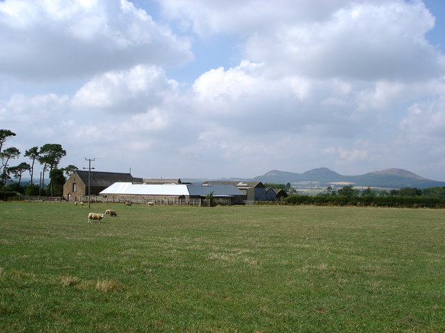
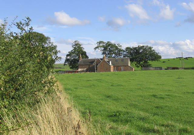
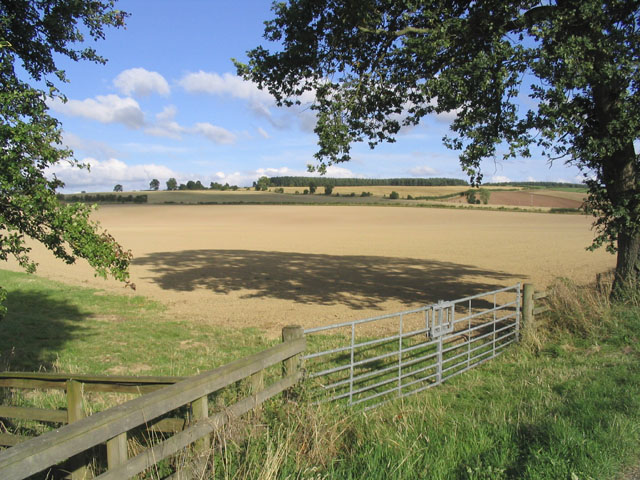
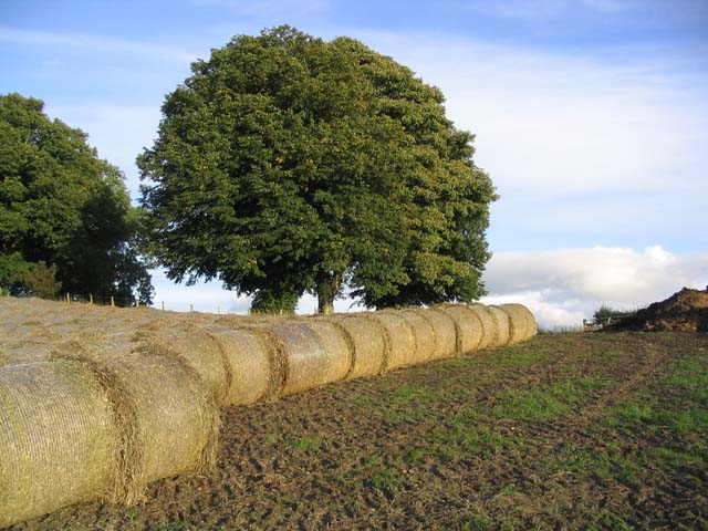
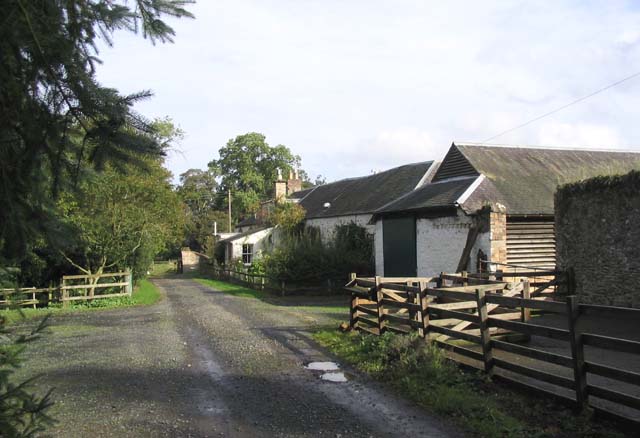
Longnewton is a small village located in the historic county of Roxburghshire, in the Scottish Borders region of Scotland. Situated about 6 miles southeast of Jedburgh, it is nestled in a picturesque rural landscape, surrounded by rolling hills and farmland.
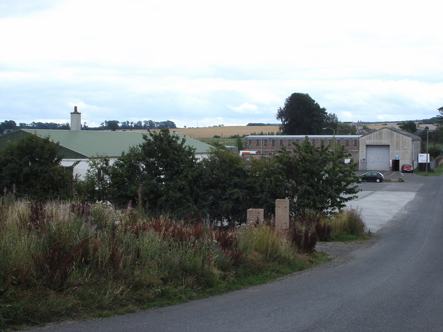
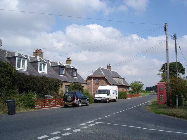
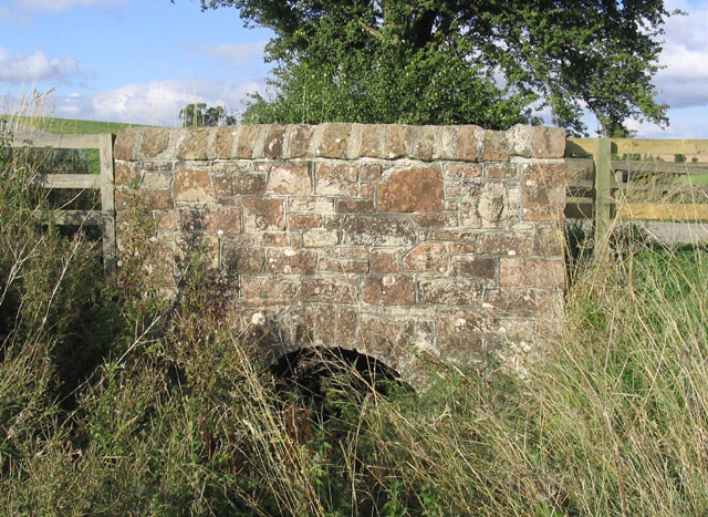
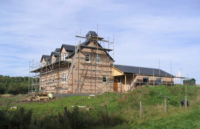
The village is primarily residential, consisting of a cluster of stone-built houses, many of which date back several centuries, lending a charming and traditional character to the area. Longnewton is known for its tranquil atmosphere and close-knit community, attracting those seeking a peaceful countryside retreat.
Despite its small size, Longnewton has a strong sense of community spirit and offers a few amenities to its residents. These include a village hall, which serves as a gathering place for local events and activities, as well as a small primary school. Additionally, a few miles away, there are various shops, services, and recreational facilities available in the nearby towns.
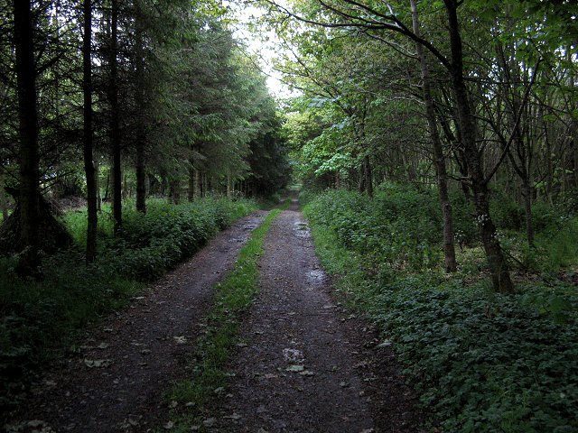
The surrounding area offers plenty of opportunities for outdoor pursuits, with numerous walking and cycling trails crisscrossing the countryside. The nearby River Teviot also provides opportunities for fishing enthusiasts. For those seeking cultural experiences, the historic town of Jedburgh is within easy reach, offering attractions such as Jedburgh Abbey, Mary Queen of Scots' House, and a range of shops, restaurants, and cafes.
Overall, Longnewton presents an idyllic countryside setting with a close-knit community, making it an attractive place for those seeking a peaceful and picturesque lifestyle in rural Scotland.
If you have any feedback on the listing, please let us know in the comments section below.
Longnewton Images
Images are sourced within 2km of 55.540401/-2.6611801 or Grid Reference NT5827. Thanks to Geograph Open Source API. All images are credited.

Longnewton is located at Grid Ref: NT5827 (Lat: 55.540401, Lng: -2.6611801)
Unitary Authority: The Scottish Borders
Police Authority: The Lothians and Scottish Borders
What 3 Words
///parties.retiring.contoured. Near Saint Boswells, Scottish Borders
Nearby Locations
Related Wikis

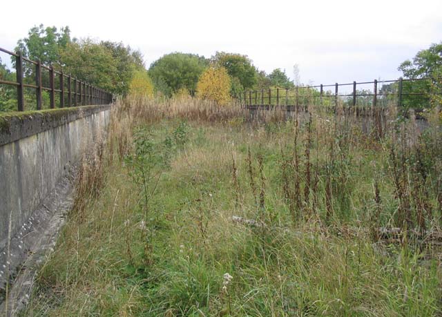
Charlesfield Halt railway station
Charlesfield Halt railway station served the village of Charlesfield, Melrose, Scotland, from 1942 to 1961 on the Waverley Route. == History == The station...

Belses railway station
Belses railway station served the village of Belses, Scottish Borders, Scotland from 1849 to 1969 on the Waverley Route. == History == The station opened...

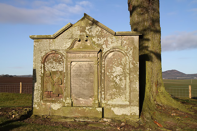
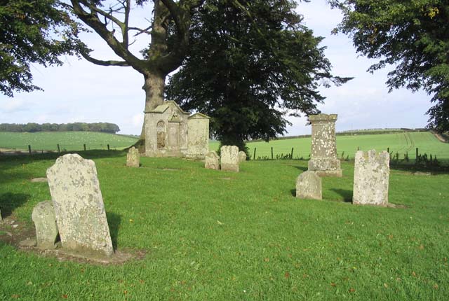
Monteath Mausoleum
The Monteath Mausoleum is a large landmark in the Scottish Borders near the village of Ancrum. The listed building can be seen from the A68 road just north...
Belses
Belses is a village on the Ale Water, in the Scottish Borders area of Scotland the former Selkirkshire. It is situated close to Old Belses, and lies south...

Old Belses
Old Belses is a village by the Ale Water, in the Parish of Ancrum, in the Scottish Borders of Scotland, in the historic county of Roxburghshire. Other...
Greycrook
Greycrook is a village off the A68 and the A699 in the Scottish Borders, approximately 500 m (550 yd) south-east of St Boswells, and close to Dryburgh...
Battle of Ancrum Moor
The Battle of Ancrum Moor was fought during the War of the Rough Wooing in 1545. The Scottish victory put a temporary end to English incursions in the...

St Boswells
St Boswells (Scots: Bosels / Bosells; Scottish Gaelic: Cille Bhoisil [ˈçiʎəˈvɔʃɪl]) is a village on the south side of the River Tweed in the Scottish Borders...
Related Videos

Monteath Douglas Mausoleum
Anafi drone fottage.


Inside the Monteath Mausoleum, Jedburgh, Scotland.
The angels from inside General Monteath's mausoleum.

Residual Biocidal Activity
The use of disinfectants based on quaternary ammonium compounds (QACs) has played, and will continue to play, a massive role ...
Nearby Amenities
Located within 500m of 55.540401,-2.6611801Have you been to Longnewton?
Leave your review of Longnewton below (or comments, questions and feedback).