Lochgarthside

Settlement in Inverness-shire

Scotland

Lochgarthside

Field and Loch Garth Loch Garth is part of the Loch Mhòr hydroelectric reservoir which once powered the Foyers aluminium smelter - one of the first electrochemical smelters. The smelter has gone, but there is still a hydroelectric power station.
Field and Loch Garth Credit: Richard Webb

The requested URL returned error: 429 Too Many Requests

If you have any feedback on the listing, please let us know in the comments section below.

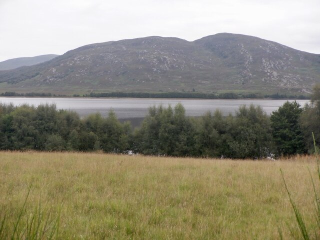
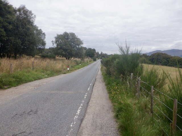
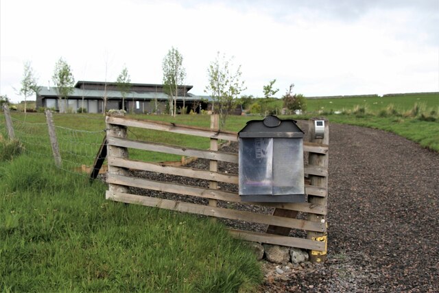
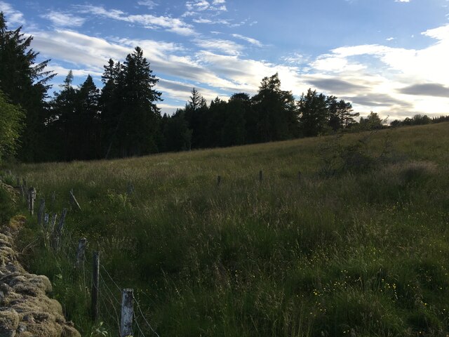
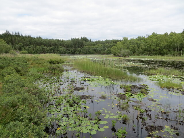
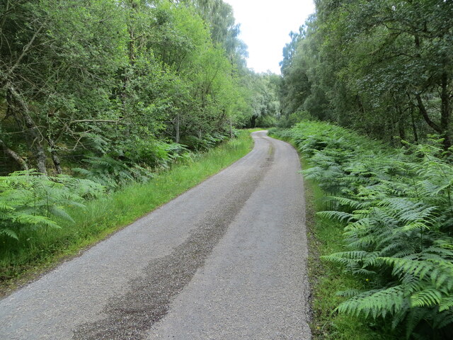
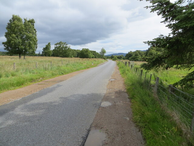
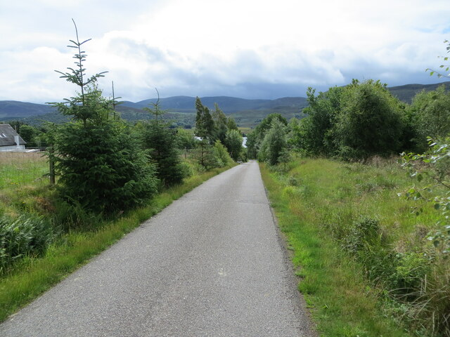
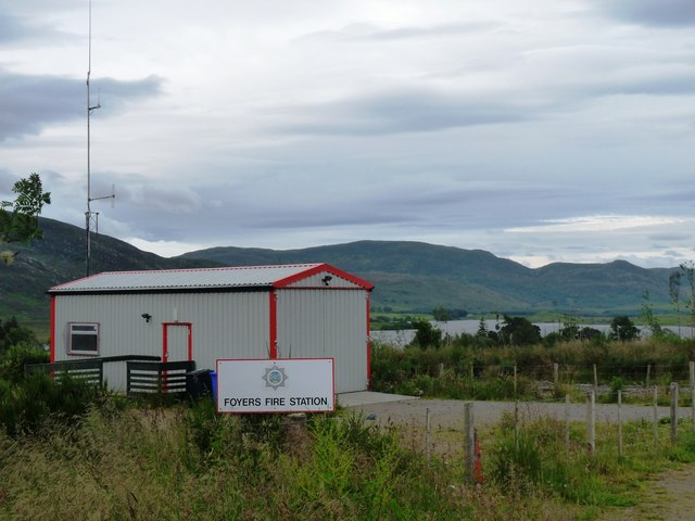
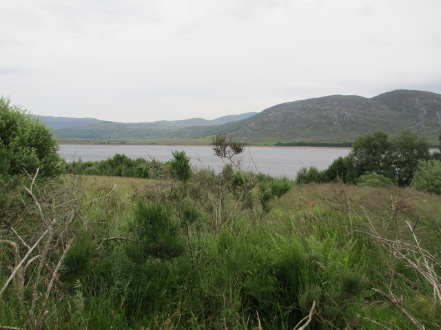
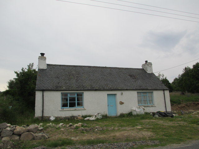
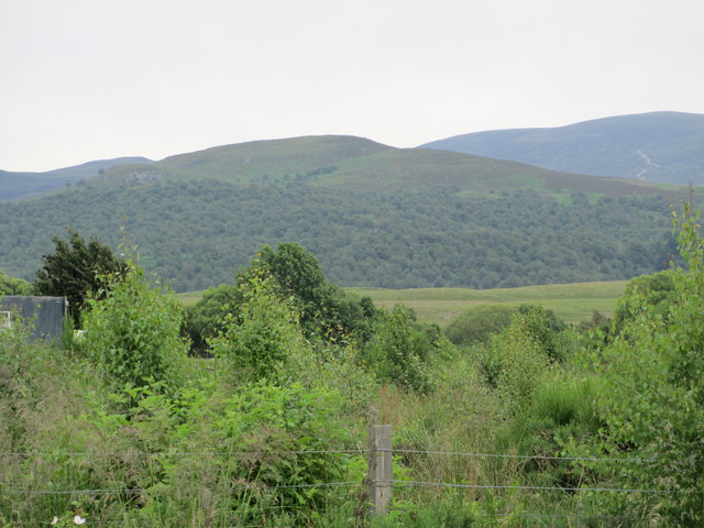
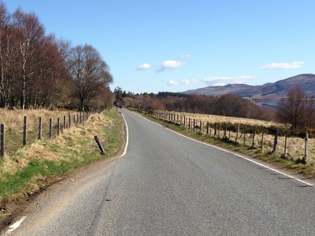
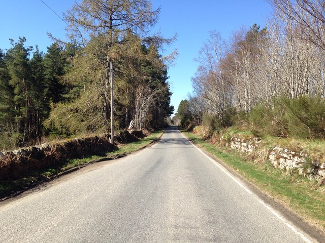
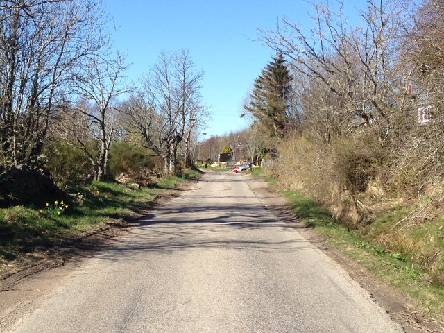
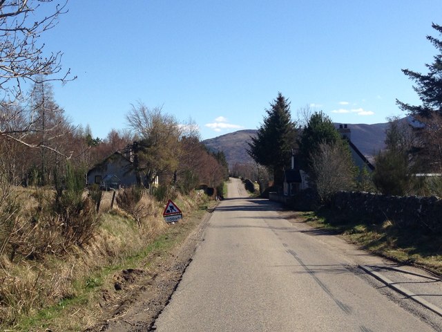
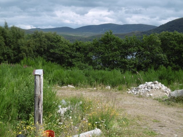
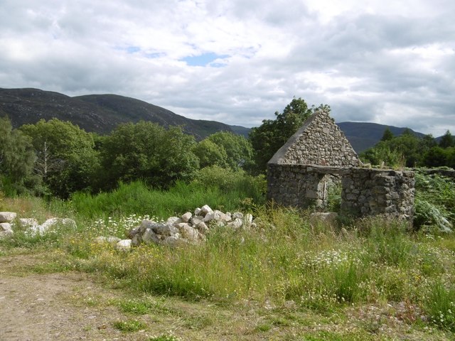
Lochgarthside Images

Images are sourced within 2km of 57.240107/-4.4489691 or Grid Reference NH5219. Thanks to Geograph Open Source API. All images are credited.

Field and Loch Garth Loch Garth is part of the Loch Mhòr hydroelectric reservoir which once powered the Foyers aluminium smelter - one of the first electrochemical smelters. The smelter has gone, but there is still a hydroelectric power station.
Field and Loch Garth
Loch Garth is part of the Loch Mhòr hydroelectric reservoir which once powered the Foyers aluminium smelter - one of the first electrochemical smelters. The smelter has gone, but there is still a hydroelectric power station.
B862, Lochgarth
B862, Lochgarth
New house
New house
Overgrown fields in Stratherrick
Loch Bran Looking northward.
Water lilies abound at this time of year (July).
Loch Bran
Looking northward. Water lilies abound at this time of year (July).
Tree and bracken enclosed minor road near Loch Bran Looking south-eastward.
Tree and bracken enclosed minor road near Loch Bran
Looking south-eastward.
Road (B862) at Craigview Looking north-eastward in the direction of Lochgarthside.
Road (B862) at Craigview
Looking north-eastward in the direction of Lochgarthside.
Minor road at Lochgartside Looking south-eastward towards its junction with the B862.
Minor road at Lochgartside
Looking south-eastward towards its junction with the B862.
Fire station in Stratherrick This station serves a wide rural community east of Loch Ness
Fire station in Stratherrick
This station serves a wide rural community east of Loch Ness
Loch Mhor
Loch Mhor
Croft house at Lochgarthside
Scrub land at Lochmhòr Carn Liath in the distance.
Scrub land at Lochmhòr
Carn Liath in the distance.
B862 near Gorthleck
B862 near Gorthleck
B862 near Gorthleck
B862 near Gorthleck
B862 at Gorthleck
B862 at Gorthleck
B862 at Gorthleck
B862 at Gorthleck
Plot, Lochgarthside Disturbed land which will no doubt be sprouting a house soon. The view is towards Loch Mhòr which is an enlarged loch built to provide electricity to the pioneering aluminium smelter at Foyers.   Previously there were two small lochs here quite far apart.  One of the lochs, Loch Garth was here, beyond the trees. The Ordnance Survey have preserved the name Loch Garth on their maps.
Plot, Lochgarthside
Disturbed land which will no doubt be sprouting a house soon. The view is towards Loch Mhòr which is an enlarged loch built to provide electricity to the pioneering aluminium smelter at Foyers. Previously there were two small lochs here quite far apart. One of the lochs, Loch Garth was here, beyond the trees. The Ordnance Survey have preserved the name Loch Garth on their maps.
Ruin, Lochgarthside Beside the site of Loch Garth which is now under the aluminium smelting hydro electric loch Loch Mhòr.
Ruin, Lochgarthside
Beside the site of Loch Garth which is now under the aluminium smelting hydro electric loch Loch Mhòr.
Show me another place!

Lochgarthside is located at Grid Ref: NH5219 (Lat: 57.240107, Lng: -4.4489691)

Unitary Authority: Highland

Police Authority: Highlands and Islands

What 3 Words

///flippers.corded.recruited. Near Drumnadrochit, Highland

Nearby Locations

Gorthleck Lochgarthside

Related Wikis

Loch Mhòr

Loch Mhòr is a loch in the traditional county of Inverness-shire in the Scottish Highlands. Its name literally translates to "Big Loch". It occupies much...

Stratherrick

Stratherrick (Scottish Gaelic: Srath Fhairgeag / Srath Fharragaig) is a strath situated above the south-eastern shore of Loch Ness, in the Scottish Highlands...

River E

The River E is a river in the Highlands of Scotland. It begins in the north-west of the Monadh Liath, to the south-east of Loch Ness. It runs in a north...

Falls of Foyers

The Falls of Foyers (Scottish Gaelic: Eas na Smùide, meaning the smoking falls) are two waterfalls on the River Foyers, which feeds Loch Ness, in Highland...

Nearby Amenities

Located within 500m of 57.240107,-4.4489691
Bus Stop
Gorthleck House
Naptan AtcoCode: 6700712741A
Naptan Bearing: NE
Naptan CommonName: Gorthleck House
Naptan Indicator: opp Letterbox
Naptan Landmark: Letterbox
Naptan NaptanCode: 45329456
Naptan Street: B862
Naptan Verified: no
Source: naptan_import
Lat/Long: 57.2400913/-4.4488387
Power: pole
Lat/Long: 57.2431986/-4.4479899
Power: pole
Lat/Long: 57.2417665/-4.4511897
Power: pole
Lat/Long: 57.2409293/-4.4530009
Power: pole
Lat/Long: 57.2401978/-4.4546286
Power: pole
Lat/Long: 57.2395813/-4.4559936
Power: pole
Lat/Long: 57.2439538/-4.4463307
Power: pole
Lat/Long: 57.2424676/-4.4496659
Power: pole
Lat/Long: 57.2404733/-4.4540154
Post Box
Post Box Type: lamp
Source: survey
Lat/Long: 57.2402445/-4.4487675
Power: pole
Lat/Long: 57.2395568/-4.4535134
Power: pole
Lat/Long: 57.2389559/-4.4523514
Power: pole
Lat/Long: 57.238361/-4.4532519
Power: pole
Lat/Long: 57.2386427/-4.4528184
Power: pole
Lat/Long: 57.2391953/-4.451871
Power: pole
Lat/Long: 57.2396004/-4.4510443
Power: pole
Lat/Long: 57.2397696/-4.4502041
Power: pole
Lat/Long: 57.2400356/-4.4494153
Power: pole
Lat/Long: 57.2425034/-4.4423567
The data included in this document is from www.openstreetmap.org. The data is made available under ODbL.

Have you been to Lochgarthside?

Leave your review of Lochgarthside below (or comments, questions and feedback).