Llansadwrnen

Settlement in Carmarthenshire

Wales

Llansadwrnen

Plashett, Llansadurnen This is a hamlet on the A4066.  The chapel has been converted to a house.
Plashett, Llansadurnen Credit: Humphrey Bolton

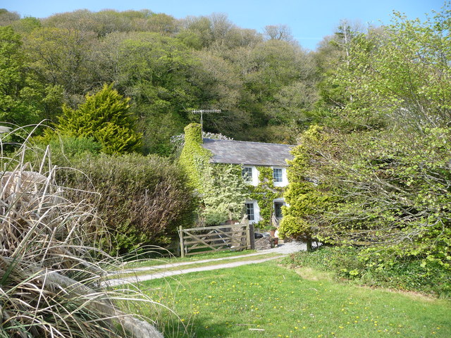
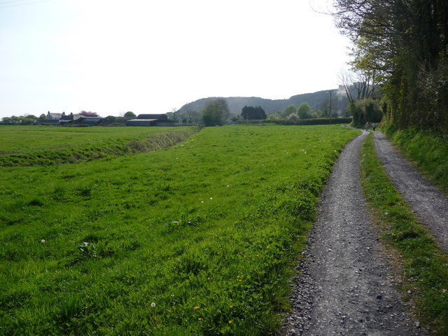
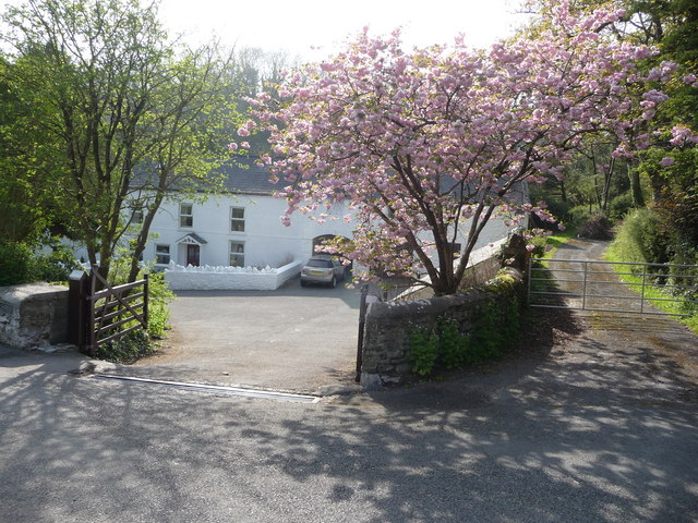
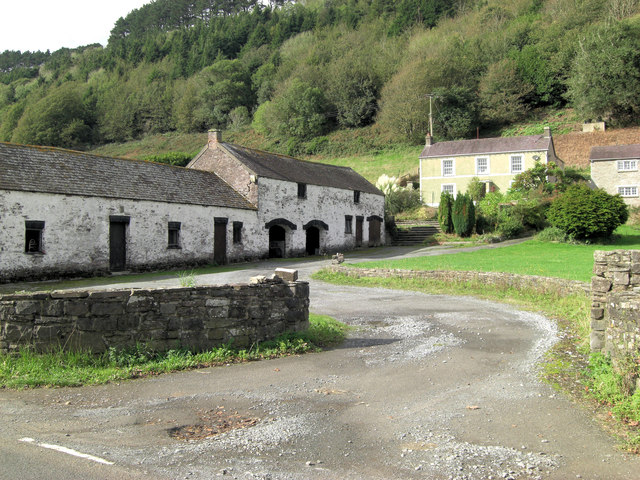
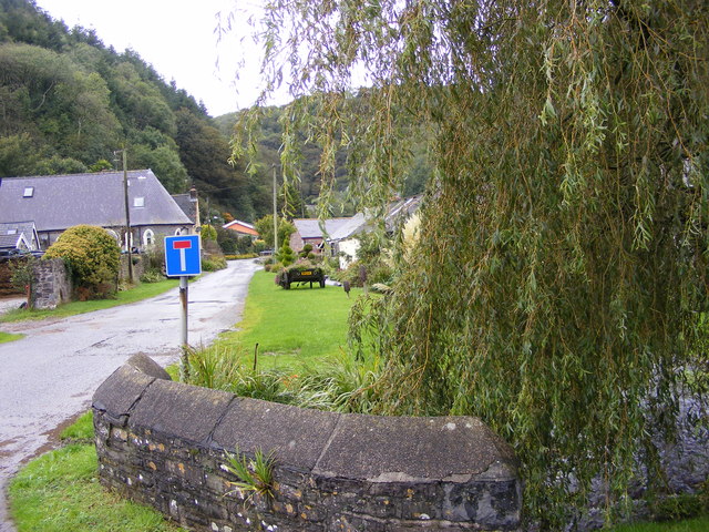
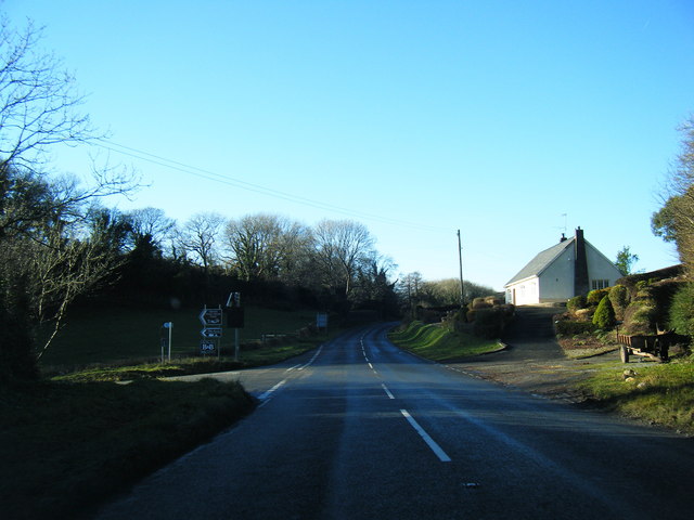
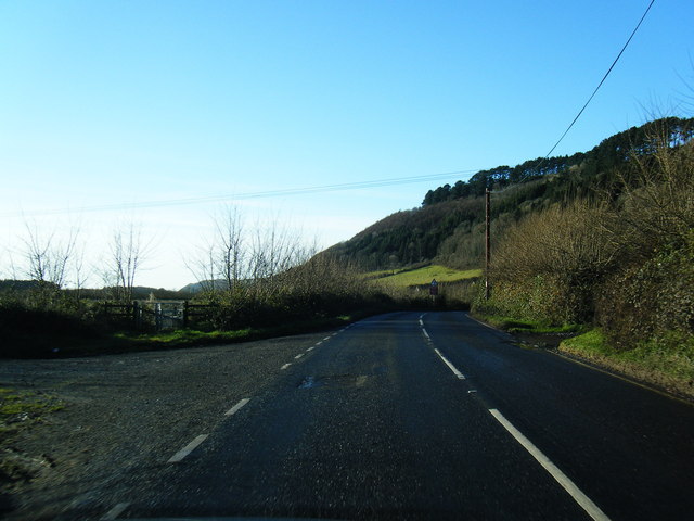
Llansadwrnen is a small village located in the county of Carmarthenshire, Wales. Situated in the western part of the county, it is nestled within the beautiful Welsh countryside, surrounded by rolling hills and green fields. The village is part of the larger community of Llanfynydd.

With a population of around 300 residents, Llansadwrnen is known for its peaceful and tight-knit community. The village features a picturesque parish church, St. Sadwrn's Church, which dates back to the 13th century. The church is a prominent architectural landmark, showcasing medieval features and serving as a focal point for local religious and community events.

Although small in size, Llansadwrnen has a rich history and cultural heritage. It has been inhabited since ancient times, with evidence of prehistoric settlements in the area. The village has witnessed significant changes throughout the centuries but has managed to retain its rural charm and character.

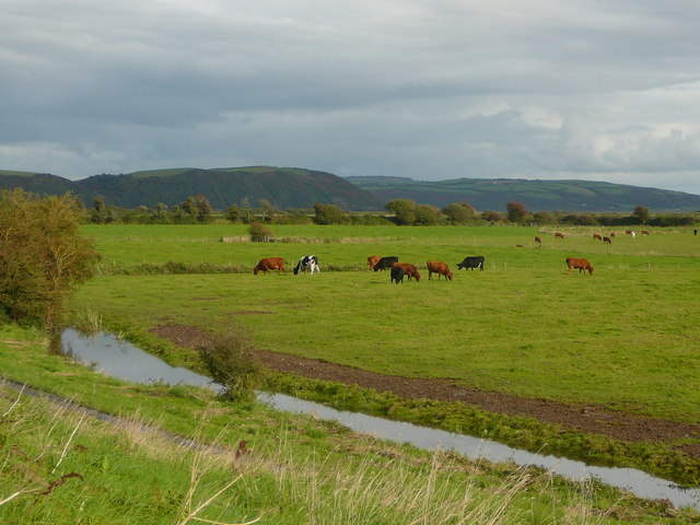
The surrounding countryside offers ample opportunities for outdoor activities, such as hiking, cycling, and exploring nature. Llansadwrnen is also known for its proximity to the Brechfa Forest, a large woodland area popular among outdoor enthusiasts.

While it may lack major amenities and facilities, Llansadwrnen benefits from its peaceful atmosphere, providing a perfect escape from the bustling urban life. With its idyllic setting and strong sense of community, the village offers a tranquil and welcoming environment for both residents and visitors alike.

If you have any feedback on the listing, please let us know in the comments section below.
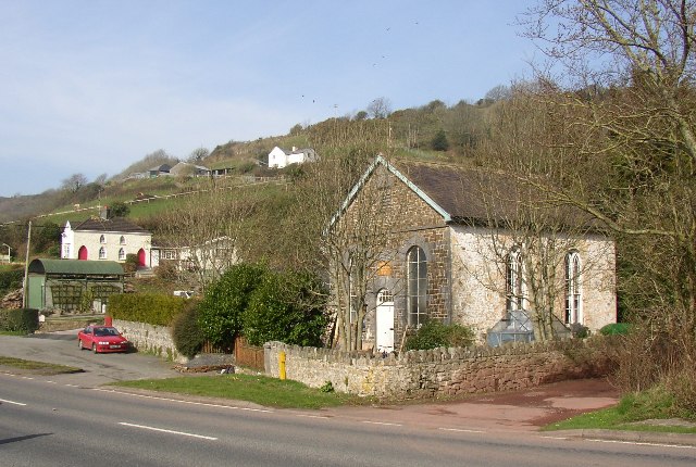
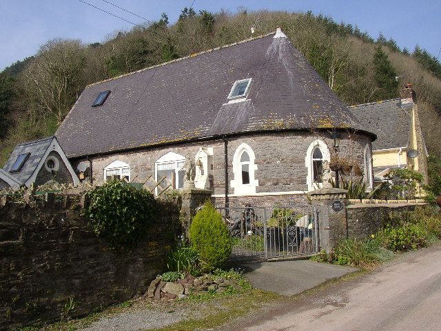
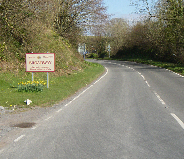
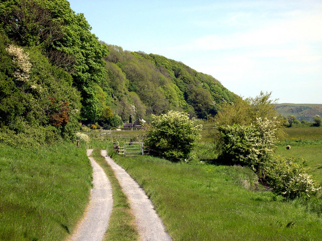
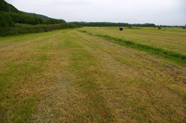
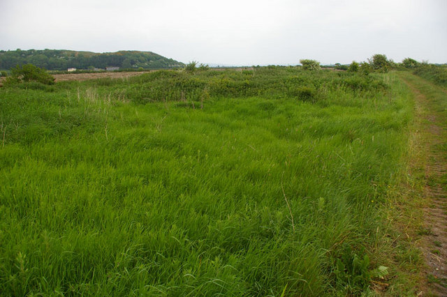
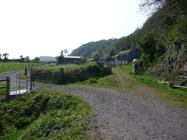
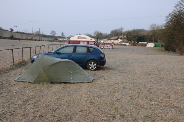
Llansadwrnen Images

Images are sourced within 2km of 51.764528/-4.4906234 or Grid Reference SN2810. Thanks to Geograph Open Source API. All images are credited.

Plashett, Llansadurnen This is a hamlet on the A4066.  The chapel has been converted to a house.
Plashett, Llansadurnen
This is a hamlet on the A4066. The chapel has been converted to a house.
Former School, Brook, Llansadurnen This is now a house, but has a sculpture of two children in the garden.  There was a mill up the lane in the valley, but nothing to see now except modern houses.
Former School, Brook, Llansadurnen
This is now a house, but has a sculpture of two children in the garden. There was a mill up the lane in the valley, but nothing to see now except modern houses.
Broadway I wonder what's playing??
Broadway
I wonder what's playing??
Salthouse
Salthouse
Silage all wrapped up The field boundary on the left is formed by the A4066. Pan right <a href="https://www.geograph.org.uk/photo/1885970">SN2608 : Silage all wrapped up</a>
Silage all wrapped up
The field boundary on the left is formed by the A4066. Pan right SN2608 : Silage all wrapped up
West end of East Marsh In the distance is Coygen headland, centre of which has been removed by quarrying - see Google Earth.
West end of East Marsh
In the distance is Coygen headland, centre of which has been removed by quarrying - see Google Earth.
Cattle grazing on salt marsh, west of Salt House Farm
Footpath by-passing Salt House Farm This gate takes walkers outside the farm yard.
Footpath by-passing Salt House Farm
This gate takes walkers outside the farm yard.
Salt House Farm, Laugharne A pretty idyllic looking farm house overlooking pasture and salt marsh just outside Laugharne.
Salt House Farm, Laugharne
A pretty idyllic looking farm house overlooking pasture and salt marsh just outside Laugharne.
Walkers near Causeway Farm, near Laugharne This footpath follows the field edge alongside rich grazing.
Walkers near Causeway Farm, near Laugharne
This footpath follows the field edge alongside rich grazing.
Picturesque cottage at Broadway near Laugharne This whitewashed old farm house with its outbuildings sits behind blossom and leafing trees in April sunshine. (In return, however, their own outlook is not so good - they look at a wall and a slurry storage facility).
Picturesque cottage at Broadway near Laugharne
This whitewashed old farm house with its outbuildings sits behind blossom and leafing trees in April sunshine. (In return, however, their own outlook is not so good - they look at a wall and a slurry storage facility).
Slurry storage system This slurry storage facility may have been used to fill muck-spreaders. There is no odour but the pretty farm house, now seemingly converted to a cottage opposite looks out onto this. Still, I've seen worse outlooks.
Slurry storage system
This slurry storage facility may have been used to fill muck-spreaders. There is no odour but the pretty farm house, now seemingly converted to a cottage opposite looks out onto this. Still, I've seen worse outlooks.
Brook Farm, Llanmiloe This rather striking courtyard complex of stone farm buildings is advertised for sale by board (not in this picture) from Thomas Estate Agents. It's not clear from that information whether all or part of the holding is for sale.
Brook Farm, Llanmiloe
This rather striking courtyard complex of stone farm buildings is advertised for sale by board (not in this picture) from Thomas Estate Agents. It's not clear from that information whether all or part of the holding is for sale.
Brook View The view from the A4066 near Brook Farm.
Brook View
The view from the A4066 near Brook Farm.
Entrance to Coygen Quarry - Broadway
A4066 at Llansadurnen
A4066 at Brook
A4066 at Brook
A frosty start... The cold spring of 2013 continues with a white frost this morning on Broadway Caravan and Camping Park near Laugharne.
A frosty start...
The cold spring of 2013 continues with a white frost this morning on Broadway Caravan and Camping Park near Laugharne.
Show me another place!

Llansadwrnen is located at Grid Ref: SN2810 (Lat: 51.764528, Lng: -4.4906234)

Unitary Authority: Carmarthenshire

Police Authority: Dyfed Powys

What 3 Words

///depend.faster.importers. Near Llanddowror, Carmarthenshire

Related Wikis

St Odoceus' Church, Llandawke

St Odoceus' Church, Llandawke, is a redundant church situated in a hollow near the road between Llandawke and Laugharne in Carmarthenshire, Wales. It...
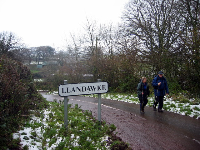
Llandawke

Llandawke is a small settlement in Carmarthenshire, Wales, situated roughly 1 mile from Laugharne, toward Tenby.It contains the now redunandant 13th century...

Coygan Cave

Coygan Cave was an ossiferous cave near Laugharne in Carmarthenshire, Wales. The cave was about a mile from the sea and located in a limestone hillside...

Island House, Laugharne

Island House is a Grade II* listed, partly Tudor, sub-medieval townhouse located in Laugharne, Carmarthenshire, in southwest Wales. It sits below the...

Nearby Amenities

Located within 500m of 51.764528,-4.4906234
Power: pole
Lat/Long: 51.7624864/-4.4850853
Power: pole
Lat/Long: 51.7622076/-4.4859034
Power: pole
Lat/Long: 51.7618208/-4.4871694
Power: pole
Lat/Long: 51.7613908/-4.488591
Power: pole
Lat/Long: 51.7609508/-4.4899508
Power: pole
Lat/Long: 51.7605192/-4.4913724
Direction: SSW
Generator Method: photovoltaic
Generator Output Electricity: yes
Generator Solar Modules: 14
Generator Source: solar
Generator Type: solar_photovoltaic_panel
Location: roof
Power: generator
Lat/Long: 51.7611036/-4.4947922
Direction: S
Generator Method: photovoltaic
Generator Output Electricity: yes
Generator Solar Modules: 16
Generator Source: solar
Generator Type: solar_photovoltaic_panel
Location: roof
Power: generator
Lat/Long: 51.7611617/-4.4943872
Direction: 185
Generator Method: photovoltaic
Generator Output Electricity: yes
Generator Solar Modules: 21
Generator Source: solar
Generator Type: solar_photovoltaic_panel
Location: roof
Power: generator
Lat/Long: 51.7646698/-4.4890355
Direction: S
Generator Method: photovoltaic
Generator Output Electricity: yes
Generator Solar Modules: 15
Generator Source: solar
Generator Type: solar_photovoltaic_panel
Location: roof
Power: generator
Lat/Long: 51.7641648/-4.4892561
Direction: 175
Generator Method: photovoltaic
Generator Output Electricity: yes
Generator Solar Modules: 15
Generator Source: solar
Generator Type: solar_photovoltaic_panel
Location: roof
Power: generator
Lat/Long: 51.7644818/-4.4900849
Direction: 175
Generator Method: photovoltaic
Generator Output Electricity: yes
Generator Solar Modules: 22
Generator Source: solar
Generator Type: solar_photovoltaic_panel
Location: roof
Power: generator
Lat/Long: 51.7642324/-4.4914133
Llansadwrnen
Place: village
Lat/Long: 51.7651201/-4.4902486
The data included in this document is from www.openstreetmap.org. The data is made available under ODbL.

Have you been to Llansadwrnen?

Leave your review of Llansadwrnen below (or comments, questions and feedback).