Llanfihangel-y-pennant

Settlement in Caernarfonshire

Wales

Llanfihangel-y-pennant

Cae Amos Bothy A shelter maintained by The Mountain Bothies Association.
Cae Amos Bothy Credit: Colin Kinnear

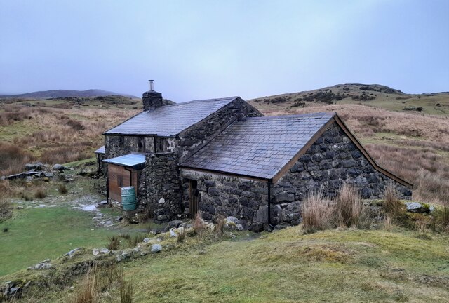
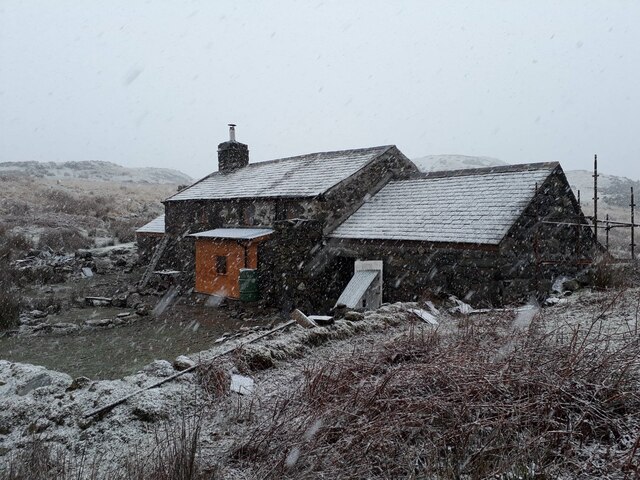
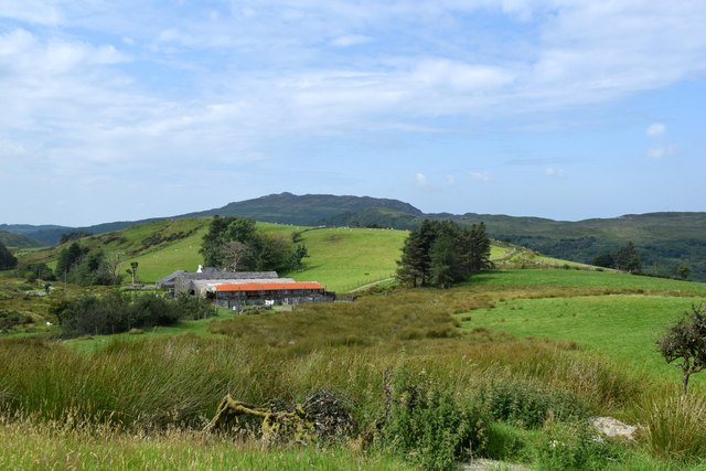
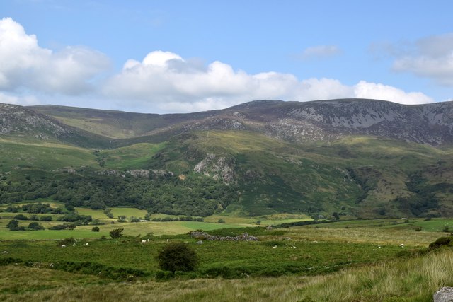
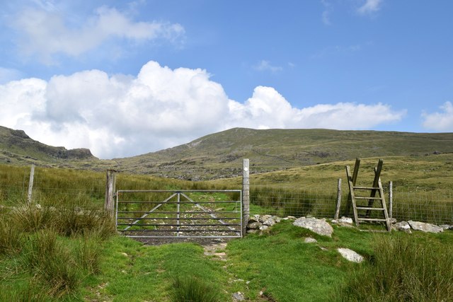
Llanfihangel-y-pennant is a small village located in the historical county of Caernarfonshire, Wales. Situated in the picturesque Snowdonia National Park, it is surrounded by stunning natural beauty and offers a tranquil escape for visitors. The village is nestled in a valley, surrounded by lush green hills and mountains, providing visitors with breathtaking views.

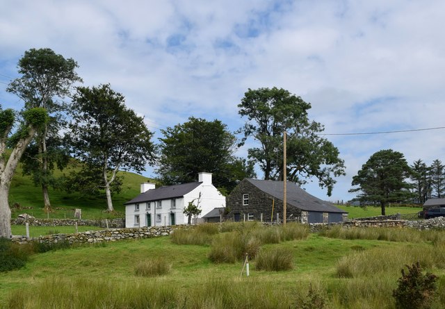
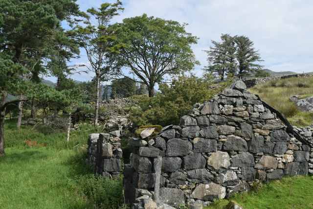
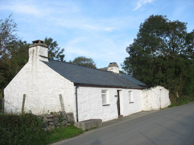
Llanfihangel-y-pennant is known for its charming, traditional Welsh cottages, which exude an old-world charm. The village is also home to St. Michael's Church, a beautiful 13th-century place of worship that stands as a testament to the area's rich history.

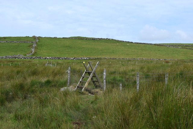
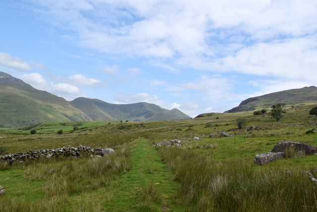
The village is popular with hikers and outdoor enthusiasts due to its proximity to several walking trails and the nearby Cader Idris mountain range. These trails offer a range of difficulty levels, catering to both seasoned hikers and beginners looking to explore the area's natural wonders.

In addition to its natural beauty, Llanfihangel-y-pennant boasts a strong sense of community. The locals are welcoming and friendly, often engaging in traditional Welsh cultural activities. Visitors can immerse themselves in the local culture by attending events such as music festivals, traditional dances, and eisteddfods (Welsh cultural festivals).

Although Llanfihangel-y-pennant is a small village, it offers basic amenities such as a local pub and a few small shops. For more extensive facilities, visitors can travel to nearby towns such as Dolgellau or Porthmadog.

Overall, Llanfihangel-y-pennant is a hidden gem in the heart of Snowdonia National Park, offering a peaceful retreat for those seeking natural beauty, Welsh culture, and outdoor adventures.

If you have any feedback on the listing, please let us know in the comments section below.

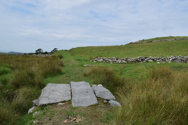
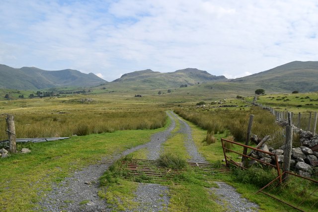
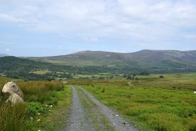
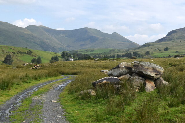
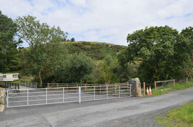
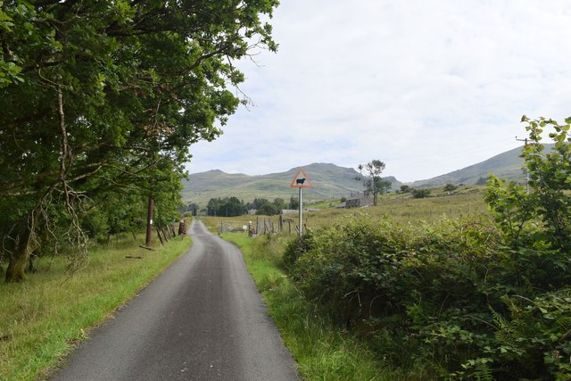
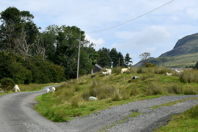
Llanfihangel-y-pennant Images

Images are sourced within 2km of 52.985651/-4.1893487 or Grid Reference SH5345. Thanks to Geograph Open Source API. All images are credited.

Cae Amos Bothy A shelter maintained by The Mountain Bothies Association.
Cae Amos Bothy
A shelter maintained by The Mountain Bothies Association.
Cooking Dinner At Cae Amos Using the stove at Cae Amos Bothy to cook dinner.
Cooking Dinner At Cae Amos
Using the stove at Cae Amos Bothy to cook dinner.
Cae Amos bothy in the snow Cae Amos is a basic shelter maintained by volunteers of the Mountain Bothies Association with permission of the landowner. This photograph was taken during its renovation before opening for use as a bothy. It had previously been used as a climbing club hut.
Cae Amos bothy in the snow
Cae Amos is a basic shelter maintained by volunteers of the Mountain Bothies Association with permission of the landowner. This photograph was taken during its renovation before opening for use as a bothy. It had previously been used as a climbing club hut.
Ladder stile The stile was a useful landmark because the path marked on the OS map was very indistinct.
Ladder stile
The stile was a useful landmark because the path marked on the OS map was very indistinct.
Clapper bridge This appears to be a relic of the horse-drawn tramway that once transported slate from Cwm Pennant.
Clapper bridge
This appears to be a relic of the horse-drawn tramway that once transported slate from Cwm Pennant.
Lonely trek up Cwm Pennant The wrecked cattle grid and gate add to the general air of desolation.   The targets of the hike -- Moel Lefon (elev. 638 m) and Moel yr Ogof (elev. 655 m) loom in the distance.
Lonely trek up Cwm Pennant
The wrecked cattle grid and gate add to the general air of desolation. The targets of the hike -- Moel Lefon (elev. 638 m) and Moel yr Ogof (elev. 655 m) loom in the distance.
Trekking along... ...on the way up Cwm Pennant.   The cows that harassed Eric Jones in 2006 (<a title="https://www.geograph.org.uk/photo/258102" href="https://www.geograph.org.uk/photo/258102">Link</a> ) seem to be long gone.    The Nantlle Ridge can be seen in the distance.
Trekking along...
...on the way up Cwm Pennant. The cows that harassed Eric Jones in 2006 (Link ) seem to be long gone. The Nantlle Ridge can be seen in the distance.
Negotiating a bend on the track... ...heading up Cwm Pennant while being observed by two sheep.   There are several piles of huge rocks beside the track.
Negotiating a bend on the track...
...heading up Cwm Pennant while being observed by two sheep. There are several piles of huge rocks beside the track.
Piles of rocks Somebody has gone to considerable effort to gather several piles of huge rocks beside the track.   The whitewashed Cwrt Isaf (Low Courtyard?) farmhouse can be seen in the distance.    The spectacular glacial bowl of Cwm Dwyfor can be seen even farther back.
Piles of rocks
Somebody has gone to considerable effort to gather several piles of huge rocks beside the track. The whitewashed Cwrt Isaf (Low Courtyard?) farmhouse can be seen in the distance. The spectacular glacial bowl of Cwm Dwyfor can be seen even farther back.
Wide gate at Fferm Rhwngddwyafon I'm not sure I'd like to pronounce the name of the farm but I think it translates as  'Between two rivers'
Wide gate at Fferm Rhwngddwyafon
I'm not sure I'd like to pronounce the name of the farm but I think it translates as 'Between two rivers'
Warning: sheep ahead And indeed there were...
Warning: sheep ahead
And indeed there were...
Sheep in their element Sheep graze and wander over the road...
Sheep in their element
Sheep graze and wander over the road...
Fferm Cwrt Isaf The attractive Lower Court (or Courtyard) Farm in Cwm Pennant.
Fferm Cwrt Isaf
The attractive Lower Court (or Courtyard) Farm in Cwm Pennant.
Byre, Fferm Cwrt Isaf Not sure if it accommodates cattle or sheep or both...
Byre, Fferm Cwrt Isaf
Not sure if it accommodates cattle or sheep or both...
Ruin of Fferm Cwrt Uchaf Upper Court Farm is shown on the 1888 OS 6-inch map.
Ruin of Fferm Cwrt Uchaf
Upper Court Farm is shown on the 1888 OS 6-inch map.
Walking north on the former tramway The horse-drawn tramway once transported slates from the Prince of Wales Quarry at the head of the valley, but the venture was not successful and the 1899 OS 6-inch map shows that the tramway was already dismantled.
Walking north on the former tramway
The horse-drawn tramway once transported slates from the Prince of Wales Quarry at the head of the valley, but the venture was not successful and the 1899 OS 6-inch map shows that the tramway was already dismantled.
Looking west, towards the valley of Afon Dwyfor
Long-distance view towards Bwlch Meillionen The gate and ladder stile mark the edge of the moorland.
Long-distance view towards Bwlch Meillionen
The gate and ladder stile mark the edge of the moorland.
Show me another place!

Llanfihangel-y-pennant is located at Grid Ref: SH5345 (Lat: 52.985651, Lng: -4.1893487)

Unitary Authority: Gwynedd

Police Authority: North Wales

What 3 Words

///clincher.whimpered.juniors. Near Porthmadog, Gwynedd

Nearby Locations

Llanfihangel-y-pennant

Related Wikis

Llanfihangel-y-Pennant, Dolbenmaen

See also Llanfihangel (disambiguation).Llanfihangel-y-Pennant is a small village in Gwynedd, Wales. It is in the community of Dolbenmaen in Snowdonia...

Cwm Pennant Fault

The Cwm Pennant Fault is a SSW-NNE trending normal fault system in North Wales. It forms part of the structures that bound the Snowdon graben. The main...

Dolbenmaen

Dolbenmaen () is a village and community in the Welsh county of Gwynedd, located in Eifionydd, of which it was the administrative centre until 1239. The...

Moel yr Ogof

Moel yr Ogof is a summit in Snowdonia. It is a subsidiary summit of Moel Hebog and a sister peak to the lower Moel Lefn. There is an asbestos trial mine...

Nearby Amenities

Located within 500m of 52.985651,-4.1893487
Barrier: cattle_grid
Lat/Long: 52.9896855/-4.1902945
Passing Place
Lat/Long: 52.9873379/-4.189294
Telephone
Booth: K6
Covered: booth
Operator: BT
Phone: +44 1766 530213
Lat/Long: 52.9856464/-4.1893101
Post Box
Post Box Type: lamp
Royal Cypher: EIIR
Royal Cypher Wikidata: Q33102113
Lat/Long: 52.9856449/-4.1893548
Craig Isallt
Ele: 233
Natural: peak
Lat/Long: 52.9821692/-4.186121
Place: farm
Lat/Long: 52.9883944/-4.1836104
Passing Place
Lat/Long: 52.9860444/-4.1843266
The data included in this document is from www.openstreetmap.org. The data is made available under ODbL.

Have you been to Llanfihangel-y-pennant?

Leave your review of Llanfihangel-y-pennant below (or comments, questions and feedback).