Lix

Settlement in Perthshire

Scotland

Lix

The Rob Roy Way Section of the path as it rises up through the forestry above Glen Ogle.
The Rob Roy Way Credit: Iain Russell

Lix is a small village located in Perthshire, Scotland. It is situated on the southern edge of the Scottish Highlands, surrounded by picturesque countryside and rolling hills. The village is known for its tranquil and scenic setting, making it a popular destination for those seeking a peaceful retreat from the hustle and bustle of city life.

Lix is home to a small population of residents who enjoy a close-knit community atmosphere. The village has a few amenities, including a local pub, a post office, and a small grocery store. There are also several walking and hiking trails in the area, allowing visitors to explore the stunning natural beauty of the surrounding landscape.

One of the main attractions near Lix is the Falls of Dochart, a series of waterfalls on the River Dochart that cascade through the village. This natural wonder draws visitors from far and wide to admire its beauty and power. Lix is also conveniently located near the town of Killin, where visitors can find additional amenities, shops, and restaurants.

Overall, Lix offers a peaceful and idyllic setting for those looking to escape to the Scottish countryside and immerse themselves in nature.

If you have any feedback on the listing, please let us know in the comments section below.
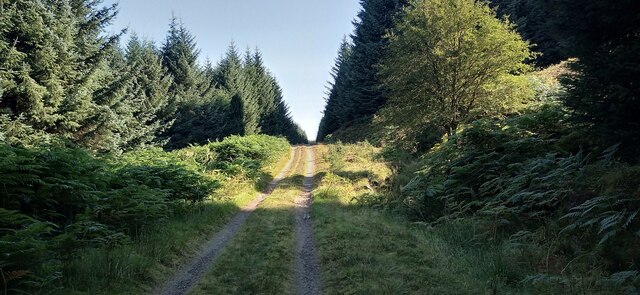
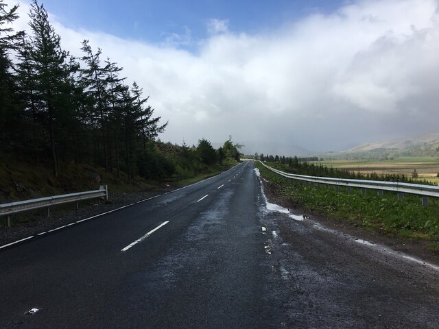
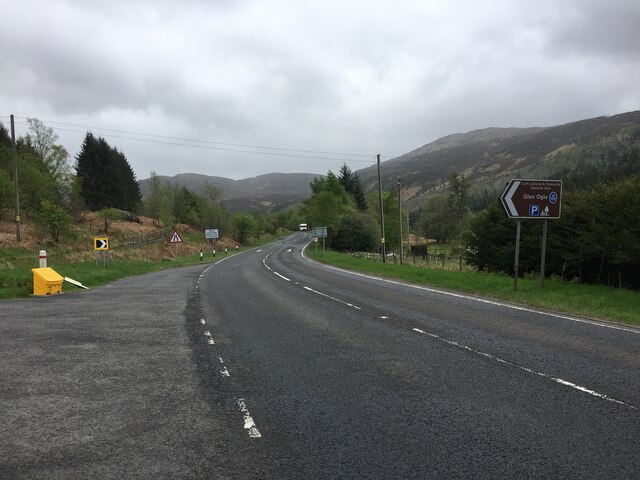
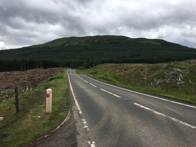
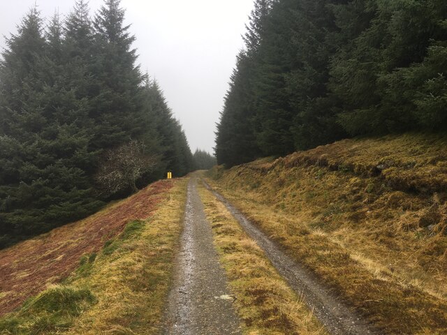
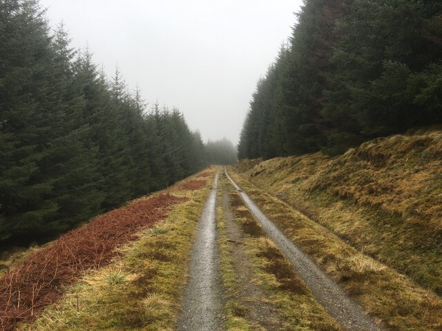
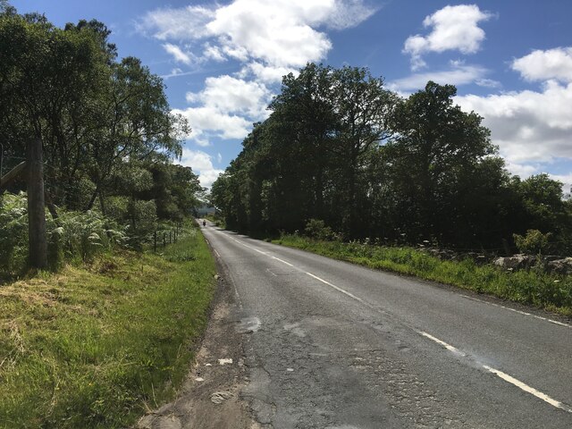
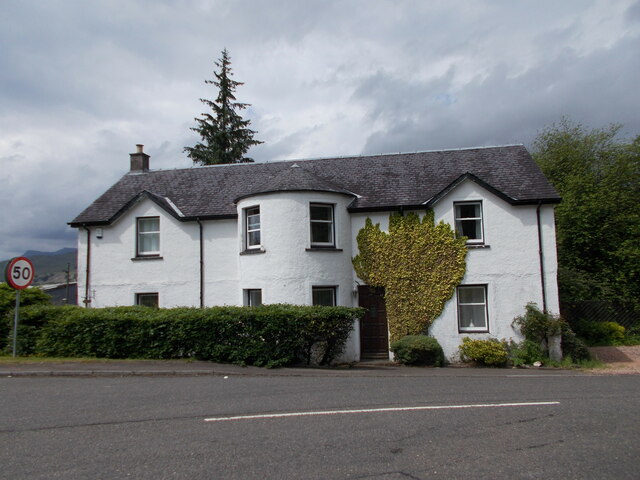
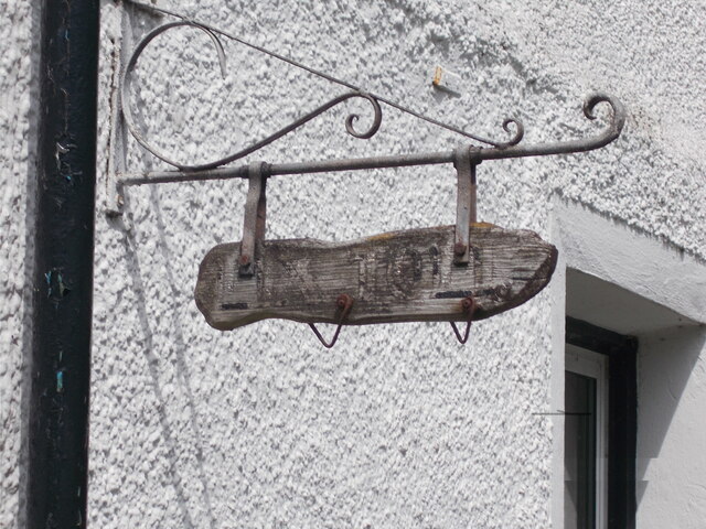
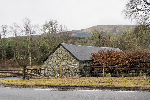
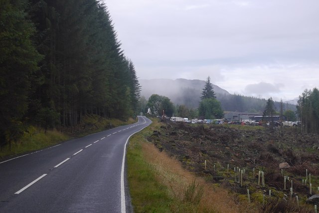
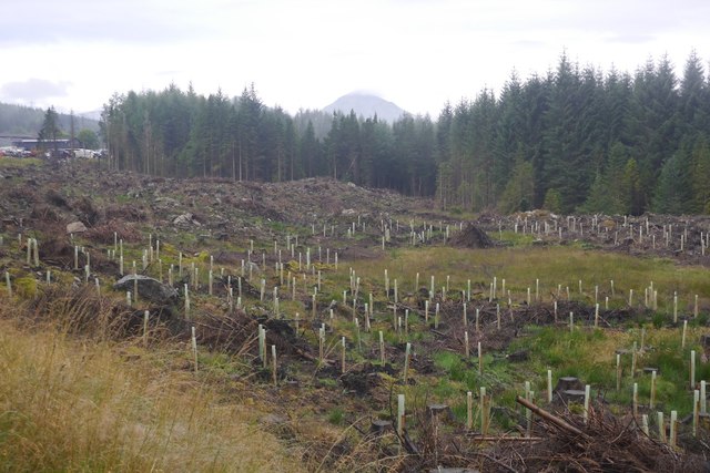
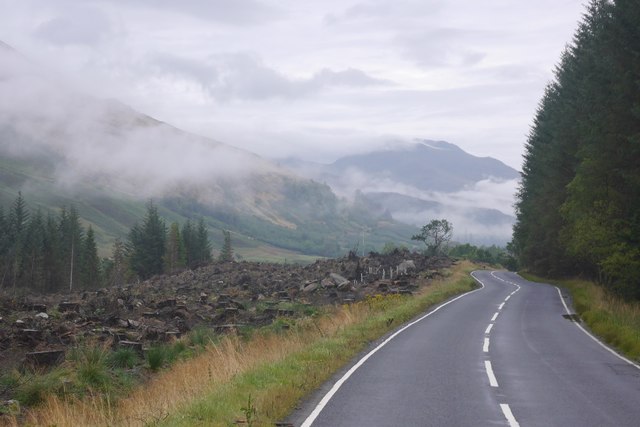
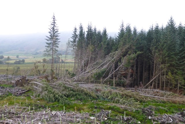
Lix Images

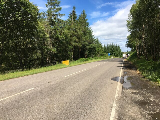
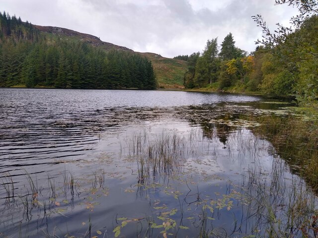
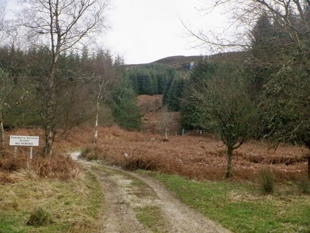
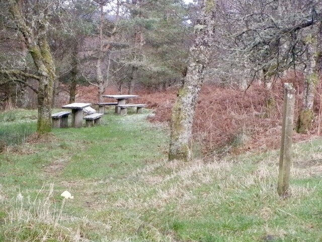
Images are sourced within 2km of 56.438192/-4.3538353 or Grid Reference NN5429. Thanks to Geograph Open Source API. All images are credited.

The Rob Roy Way Section of the path as it rises up through the forestry above Glen Ogle.
The Rob Roy Way
Section of the path as it rises up through the forestry above Glen Ogle.
A85 near Lix Toll
A85 near Lix Toll
A85, Glen Ogle
A85, Glen Ogle
A85 at Mid Lix
A85 at Mid Lix
A85 near Lix Toll
A85 near Lix Toll
Shallow waters The northern end of Lochan Lairig Cheile.
Shallow waters
The northern end of Lochan Lairig Cheile.
Track, Head of Glen Ogle The track serves a mast on the slopes of Meall Buidhe. There is a frozen waterfall in the background.
Track, Head of Glen Ogle
The track serves a mast on the slopes of Meall Buidhe. There is a frozen waterfall in the background.
Picnic tables, Head of Glen Ogle
Forestry road in Acharn forest
A827 between Killin and Lix Toll
Former tollhouse This large house is at an important junction of routes from the south, east along Loch Tay, west to the coast and then north towards Fort William.   It has the typical protruding bay with windows each side for a good view of the road and passers-by.  This area was once in Perthshire but now part of the administrative area of Stirling.
Former tollhouse
This large house is at an important junction of routes from the south, east along Loch Tay, west to the coast and then north towards Fort William. It has the typical protruding bay with windows each side for a good view of the road and passers-by. This area was once in Perthshire but now part of the administrative area of Stirling.
Former tollhouse The old sign hanging by the drainpipe on the left corner of the house.  Just legible 'LIX TOLL'
Former tollhouse
The old sign hanging by the drainpipe on the left corner of the house. Just legible 'LIX TOLL'
Barn at Easter Lix The barn is on the south side of the A827, the house at Easter Lix is along the obvious drive and out of view.
The barn has the OS flush bracket No. G1226 low down on the gable end facing the road.
Barn at Easter Lix
The barn is on the south side of the A827, the house at Easter Lix is along the obvious drive and out of view. The barn has the OS flush bracket No. G1226 low down on the gable end facing the road.
A827, Lix Toll Recent felling has opened up views and put an end to the "gloomy mile" here.
A827, Lix Toll
Recent felling has opened up views and put an end to the "gloomy mile" here.
Felled woodland, Lix Toll The old views of Ben More from the A827 are back.
Felled woodland, Lix Toll
The old views of Ben More from the A827 are back.
A827 Views have now been returned to what in recent years has been a very gloomy stretch of road.
A827
Views have now been returned to what in recent years has been a very gloomy stretch of road.
Fallen trees It looks like the surrounding area has been felled leaving these trees open to the force of the wind which they were unable to withstand.
Fallen trees
It looks like the surrounding area has been felled leaving these trees open to the force of the wind which they were unable to withstand.
Show me another place!

Lix is located at Grid Ref: NN5429 (Lat: 56.438192, Lng: -4.3538353)

Unitary Authority: Stirling

Police Authority: Forth Valley

What 3 Words

///elbowed.unsigned.club. Near Pubil, Perth & Kinross

Nearby Locations

Lix

Related Wikis

Glenoglehead railway station

Glenoglehead was a railway station located at the head of Glen Ogle, Stirling district, Scotland. It was situated on a remote mountainside, some 3 miles...

Killin Junction railway station

Killin Junction was a railway station located in Glen Dochart, Stirling (district) close to where the road from Glen Ogle joins the Crianlarich to Killin...

Ardchyle

Ardchyle is a small hamlet in Stirling, Scotland. The Glendhu viaduct, just south of Ardchyle, was built for the now disused section of the Callander and...

Falls of Dochart

The Falls of Dochart (Scottish Gaelic:Eas Dochart) are a cascade of waterfalls situated on the River Dochart at Killin in Perthshire, Scotland, near the...

Nearby Amenities

Located within 500m of 56.438192,-4.3538353
Motorway Junction
Lix Toll
Lat/Long: 56.4406465/-4.3572721
Wester Lix
Is In: Stirlingshire
Place: hamlet
Postal Code: FK21
Lat/Long: 56.4373095/-4.3565969
Fuel
Lix Toll Garage
Brand: Gulf
Fuel Diesel: yes
Fuel Octane 95: yes
Opening Hours: 24/7
Operator: Gulf
Payment Cash: no
Payment Credit Cards: yes
Lat/Long: 56.4407801/-4.3586581
Power: tower
Lat/Long: 56.4422202/-4.3525341
Mid Lix
Is In: Stirlingshire
Place: hamlet
Postal Code: FK21
Lat/Long: 56.4397615/-4.3482826
Power: tower
Lat/Long: 56.4388241/-4.3609955
Power: tower
Lat/Long: 56.440677/-4.3563466
Noexit: yes
Lat/Long: 56.4375096/-4.3571922
Material: wood
Power: pole
Lat/Long: 56.4370004/-4.3579137
Material: wood
Power: pole
Lat/Long: 56.4369826/-4.3574329
Material: wood
Power: pole
Lat/Long: 56.436921/-4.3555172
Material: wood
Power: pole
Lat/Long: 56.4368847/-4.3544537
Material: wood
Power: pole
Lat/Long: 56.4368484/-4.3534184
Material: wood
Power: pole
Lat/Long: 56.4365651/-4.3463105
Material: wood
Power: pole
Lat/Long: 56.436623/-4.347315
Material: wood
Power: pole
Lat/Long: 56.4366645/-4.3480848
Material: wood
Power: pole
Lat/Long: 56.4367253/-4.3499114
Material: wood
Power: pole
Lat/Long: 56.4367572/-4.3507254
Material: wood
Power: pole
Lat/Long: 56.436775/-4.3513584
Material: wood
Power: pole
Lat/Long: 56.4368172/-4.3524916
Material: wood
Power: pole
Transformer: distribution
Lat/Long: 56.4397147/-4.347775
Material: wood
Power: pole
Lat/Long: 56.4390682/-4.3480647
Material: wood
Power: pole
Lat/Long: 56.4384825/-4.3483302
Material: wood
Power: pole
Lat/Long: 56.4366964/-4.3491228
Material: wood
Power: pole
Lat/Long: 56.4374964/-4.3487627
Material: wood
Power: pole
Lat/Long: 56.4379731/-4.3485475
Power: pole
Lat/Long: 56.4398562/-4.3574655
Power: pole
Lat/Long: 56.4393157/-4.3570163
Power: pole
Lat/Long: 56.4387606/-4.3571264
Power: pole
Lat/Long: 56.4381702/-4.3572519
Power: pole
Lat/Long: 56.4377965/-4.3573378
Power: pole
Lat/Long: 56.4377283/-4.3573598
The data included in this document is from www.openstreetmap.org. The data is made available under ODbL.

Have you been to Lix?

Leave your review of Lix below (or comments, questions and feedback).