Livingstone Park
Settlement in Surrey Epsom and Ewell
England
Livingstone Park
Livingstone Park is a popular outdoor recreational space located in Surrey, British Columbia. Covering an area of 15 acres, the park offers a variety of amenities and activities for visitors of all ages.
The park features a large playground area with swings, slides, and climbing structures, making it a great destination for families with young children. There are also several picnic tables and benches scattered throughout the park, providing a perfect spot for a relaxing lunch or afternoon snack.
For those looking to stay active, Livingstone Park offers a basketball court, soccer field, and tennis courts for sports enthusiasts to enjoy. Additionally, there are walking paths and open green spaces for visitors to explore and soak in the natural beauty of the surrounding area.
The park is well-maintained and clean, with garbage bins conveniently located throughout the grounds. There is ample parking available for visitors, making it easy to access the park by car. Overall, Livingstone Park is a vibrant and welcoming community space that serves as a hub for outdoor fun and relaxation in Surrey.
If you have any feedback on the listing, please let us know in the comments section below.
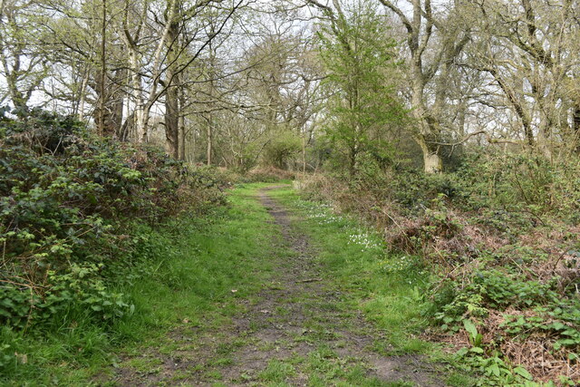
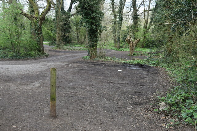
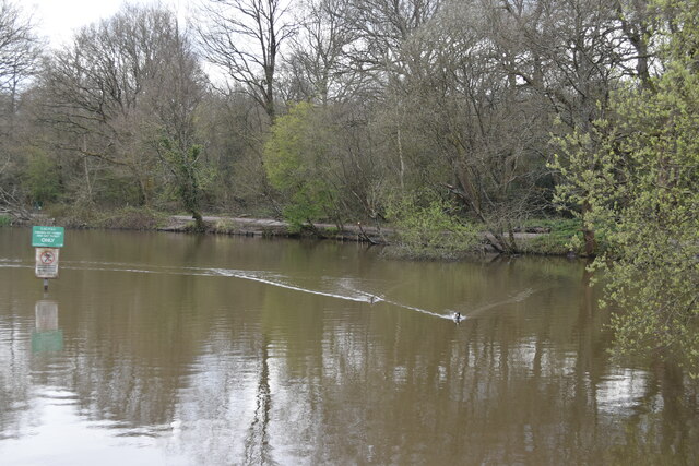
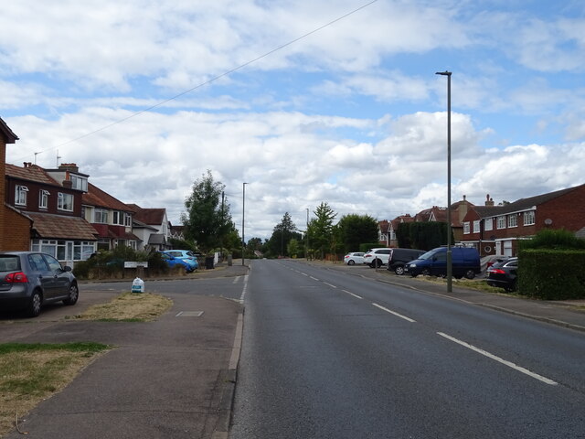
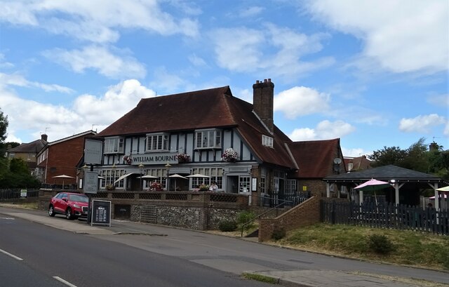
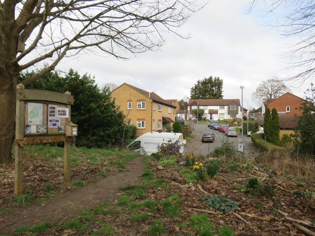
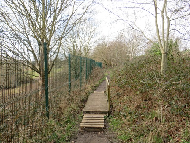
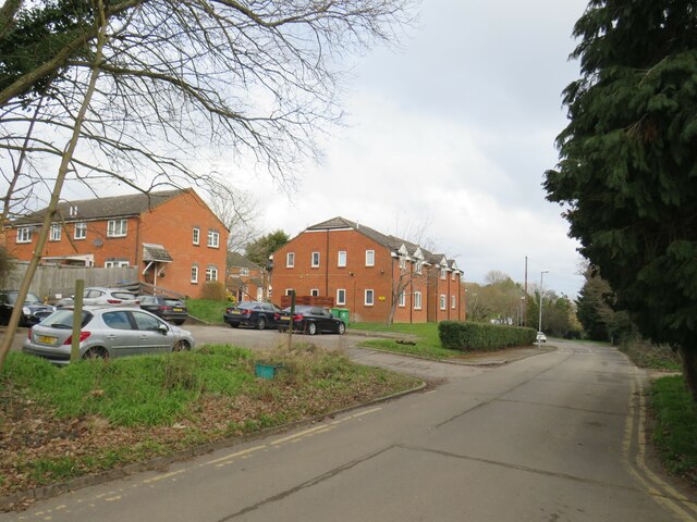
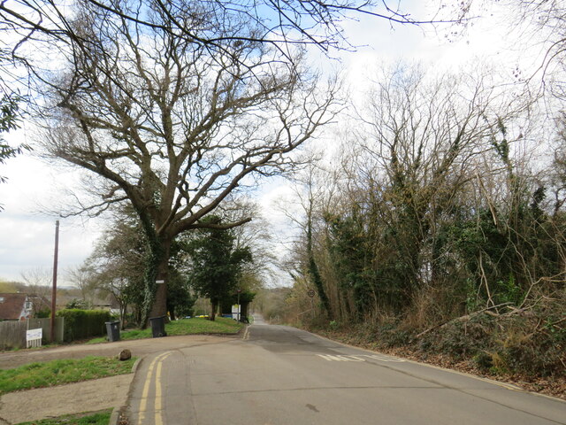
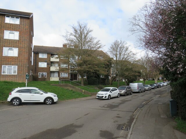
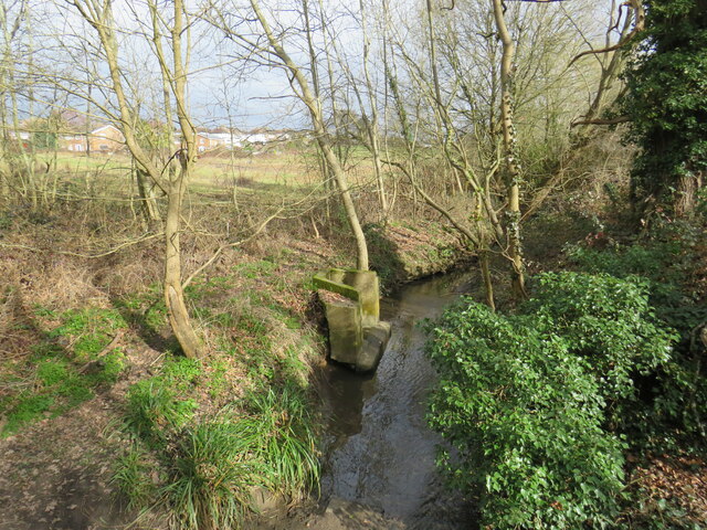
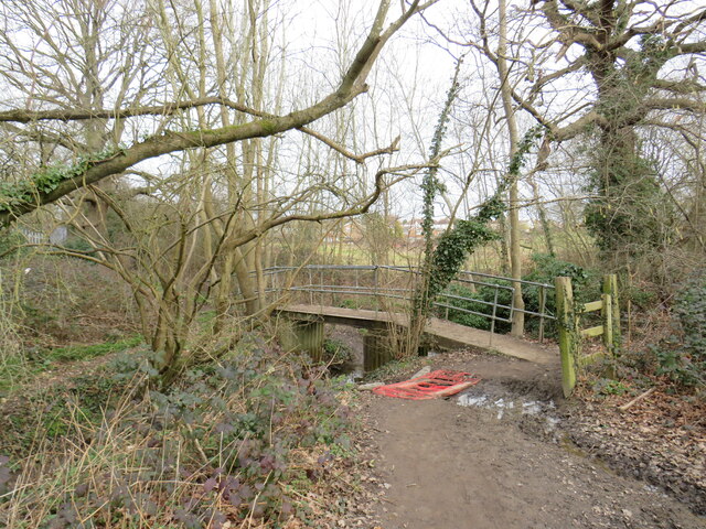
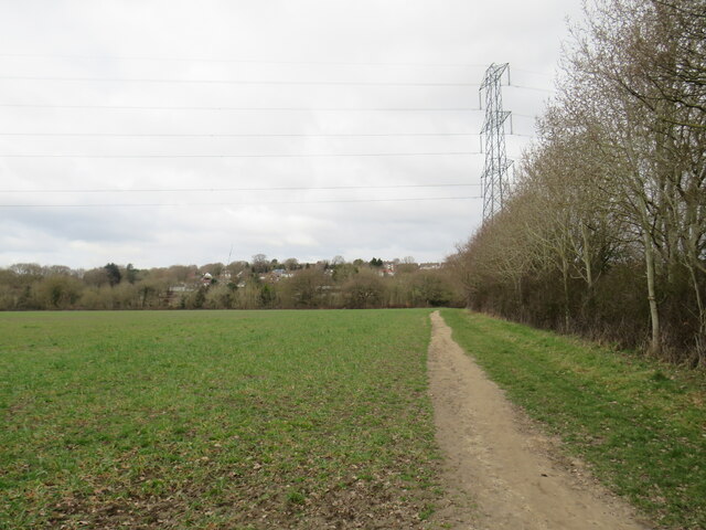
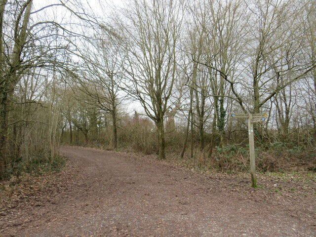
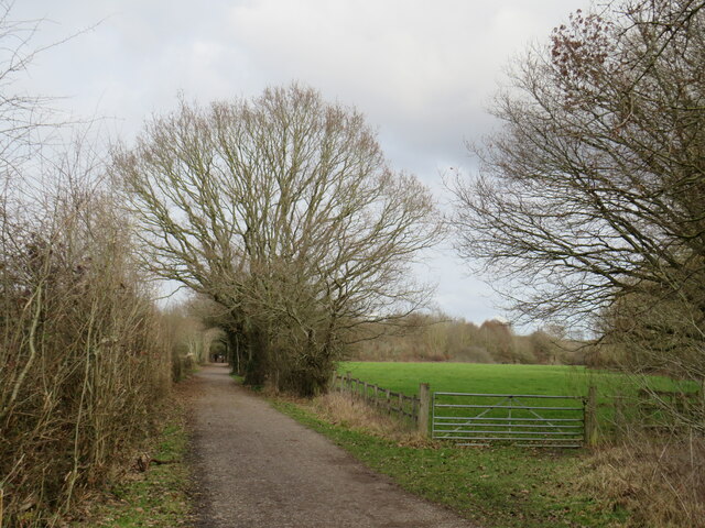
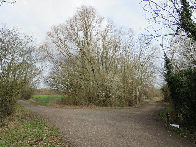
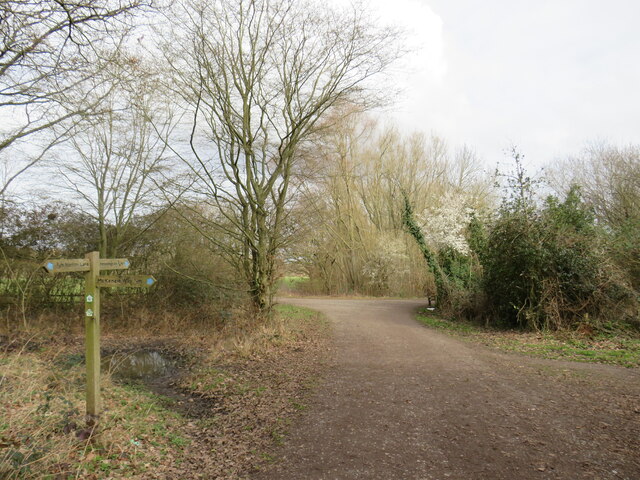
Livingstone Park Images
Images are sourced within 2km of 51.345973/-0.28094867 or Grid Reference TQ1962. Thanks to Geograph Open Source API. All images are credited.
Livingstone Park is located at Grid Ref: TQ1962 (Lat: 51.345973, Lng: -0.28094867)
Administrative County: Surrey
District: Epsom and Ewell
Police Authority: Surrey
What 3 Words
///pans.belts.lifts. Near Epsom, Surrey
Nearby Locations
Related Wikis
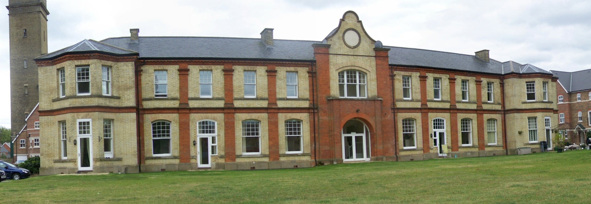
Horton Hospital
Horton Hospital, formerly called Horton Asylum, was a large psychiatric hospital in the Horton area of Epsom, Surrey. == History == === Origins === The hospital...
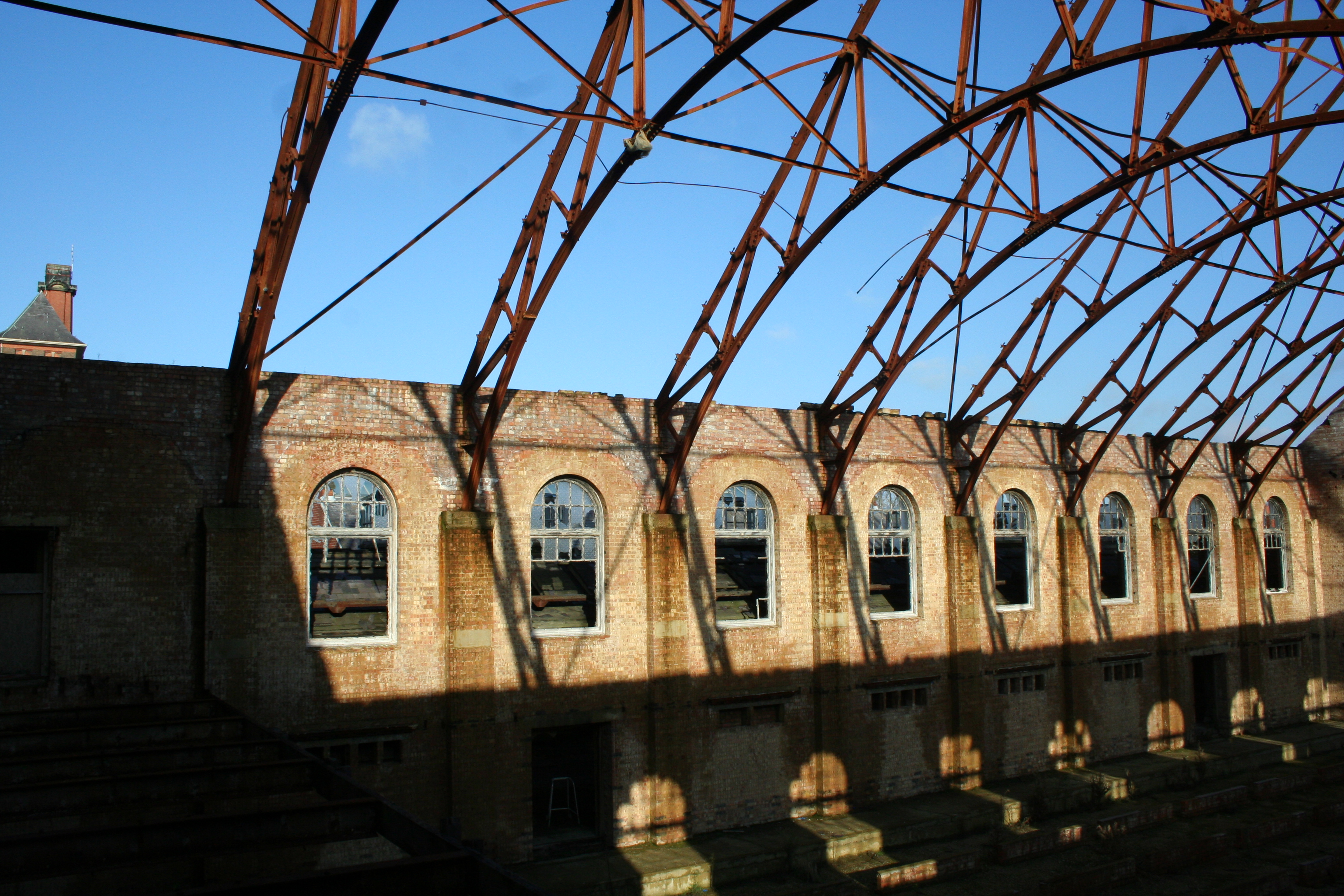
Epsom Cluster
The Epsom Cluster, also referred to as the Horton Estate, was a cluster or group of five large psychiatric hospitals situated on land to the west of Epsom...

Horton, Surrey
Horton is a village in the borough of Epsom and Ewell, in the county of Surrey, England. It is situated between the towns and villages of Epsom, West Ewell...

St Ebba's Hospital
St Ebba's Hospital formerly Ewell Epileptic Colony (1904–1918) and later Ewell Mental Hospital (1927–1938) is a mental handicap and former psychiatric...
Related Videos

⁴ᴷ EPSOM Walking Tour, Surrey ENGLAND 🇬🇧 GB
It is warm Friday afternoon, 13th of August 2021. Let's take a walk together around Epsom Thank you to my father for sharing ...

Epsom High street Lunch Walk #tamil #travel #london #vlog #walk #music #food
Epsom High street Lunch Walk #tamil #travel Ullasa Payani, Ullasapayani, London, Tamil vlog.

Walking Slow Ways route from Ewell to Motspur Park
This Slow Ways walking route from Ewell Village to Motspur Park passes through Nonsuch Park, Cuddington Recreation Ground, ...
Nearby Amenities
Located within 500m of 51.345973,-0.28094867Have you been to Livingstone Park?
Leave your review of Livingstone Park below (or comments, questions and feedback).