Little Knowley
Settlement in Lancashire Chorley
England
Little Knowley
The requested URL returned error: 429 Too Many Requests
If you have any feedback on the listing, please let us know in the comments section below.
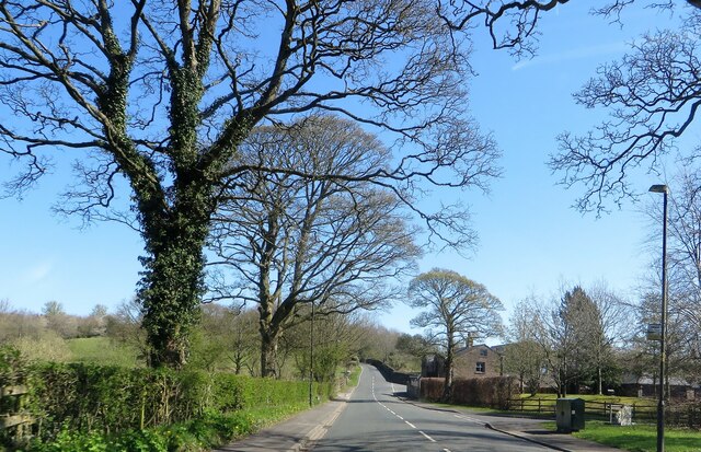
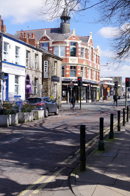
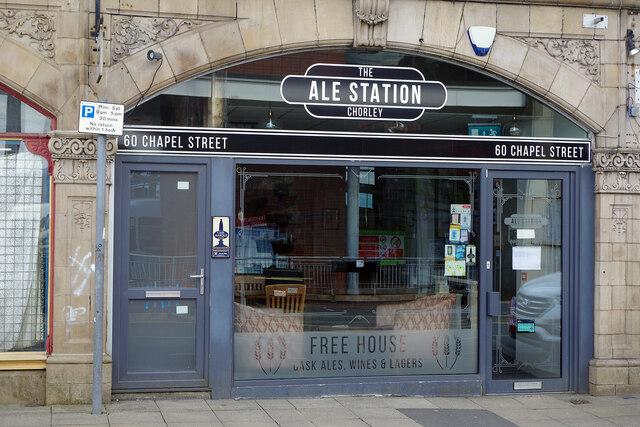
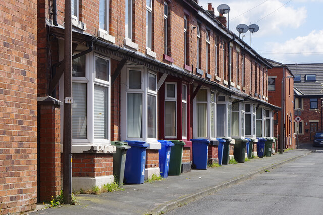
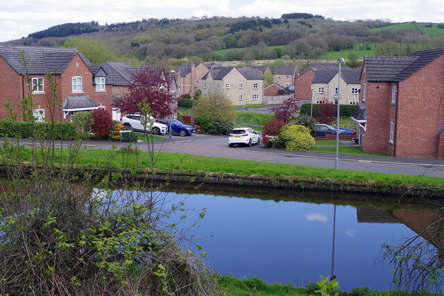
Little Knowley Images
Images are sourced within 2km of 53.665266/-2.6157394 or Grid Reference SD5918. Thanks to Geograph Open Source API. All images are credited.


Little Knowley is located at Grid Ref: SD5918 (Lat: 53.665266, Lng: -2.6157394)
Administrative County: Lancashire
District: Chorley
Police Authority: Lancashire
What 3 Words
///crisp.lied.hurls. Near Chorley, Lancashire
Nearby Locations
Related Wikis
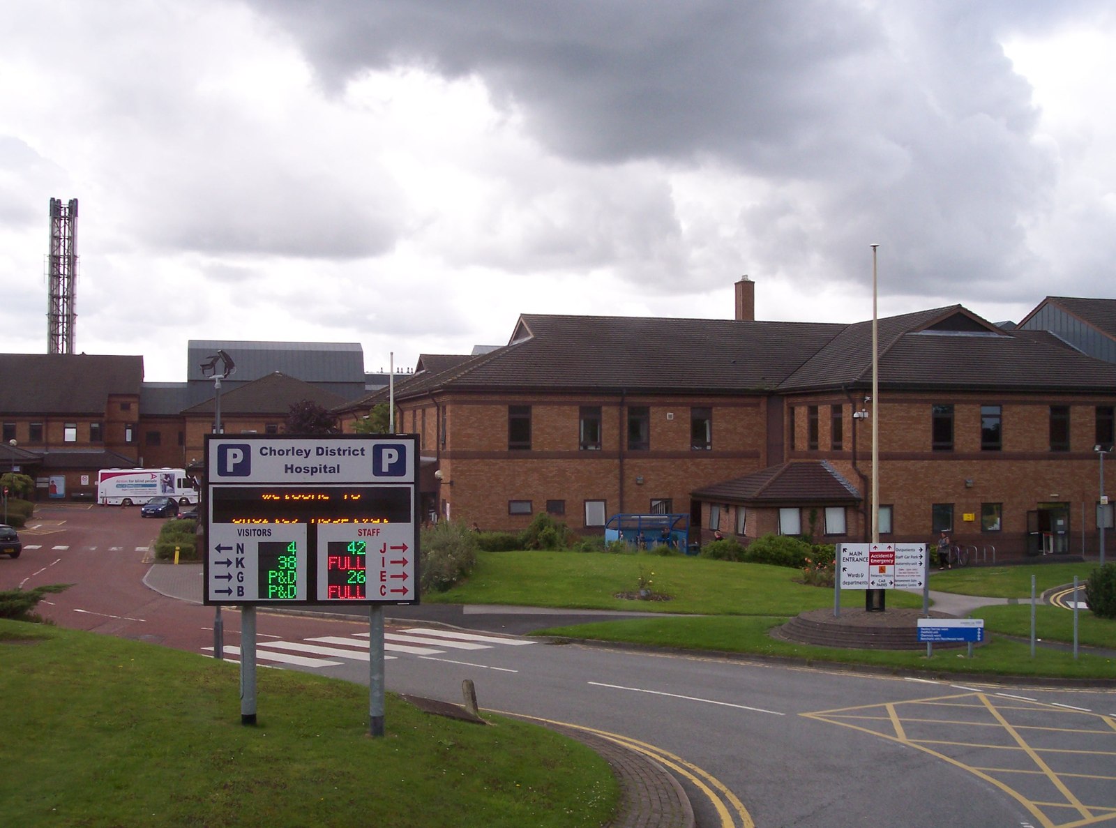
Chorley and South Ribble Hospital
Chorley and South Ribble Hospital is an acute general hospital in Chorley. The hospital is situated on Euxton lane in Chorley close to junction 8 of the...

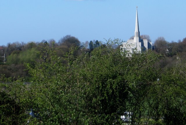
Preston England Temple
The Preston England Temple is the 52nd operating temple of the Church of Jesus Christ of Latter-day Saints (LDS Church). The temple is located in the town...

St Michael's Church of England High School, Chorley
St Michael's is a Church of England secondary school located in the town of Chorley, Lancashire, England. The school is home to 1,200 pupils, and is a...
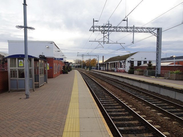
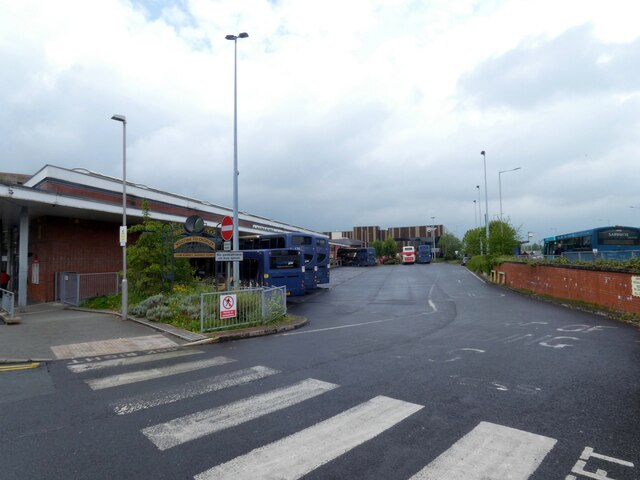
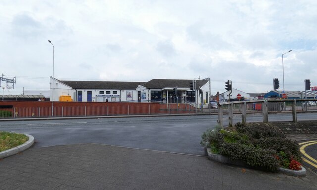
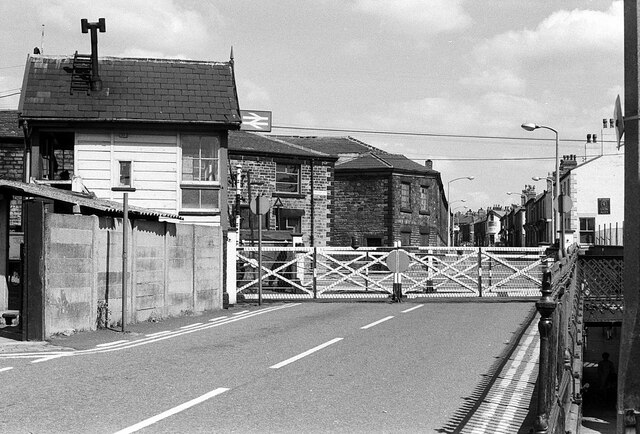
Chorley railway station
Chorley railway station serves the town of Chorley in Lancashire, England. Since 2004 it has been linked with Chorley Interchange bus and coach station...
Nearby Amenities
Located within 500m of 53.665266,-2.6157394Have you been to Little Knowley?
Leave your review of Little Knowley below (or comments, questions and feedback).