Knowley
Settlement in Lancashire Chorley
England
Knowley
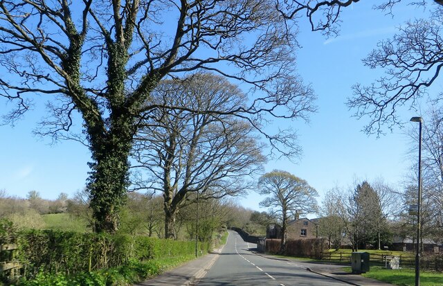
Knowley is a small village located in the county of Lancashire, England. Situated approximately 5 miles south of the town of Skelmersdale, Knowley is part of the West Lancashire district. It is a rural area surrounded by picturesque countryside, offering a peaceful and tranquil atmosphere.
The village is characterized by its charming traditional architecture, with a number of old stone cottages and farmhouses dotting the landscape. The local community is close-knit and welcoming, and residents enjoy a strong sense of community spirit.
Knowley is primarily an agricultural area, with farming playing a key role in the local economy. The fertile land surrounding the village is ideal for crop cultivation and livestock rearing. The rolling green fields provide a beautiful backdrop to the village and are often enjoyed by walkers and nature enthusiasts.
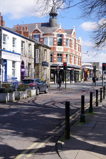
Although a small village, Knowley offers some amenities to its residents. These include a local pub, where locals can gather for a drink and socialize, as well as a small convenience store for essential supplies. However, for more extensive shopping and services, residents typically travel to nearby towns.
The village also benefits from its proximity to several natural attractions. Within a short drive, residents can access the stunning Beacon Country Park, which offers scenic walks, wildlife spotting, and recreational activities for all ages.
Overall, Knowley is a charming rural village in Lancashire, offering a peaceful and idyllic lifestyle for its residents.
If you have any feedback on the listing, please let us know in the comments section below.
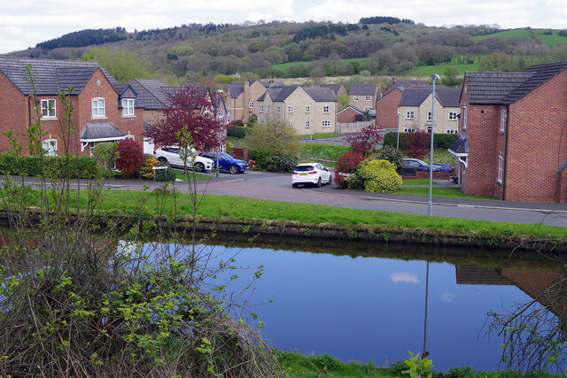
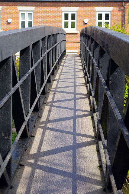
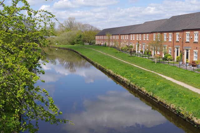
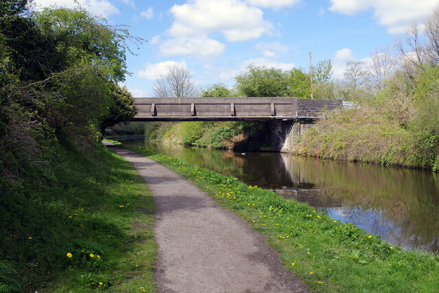
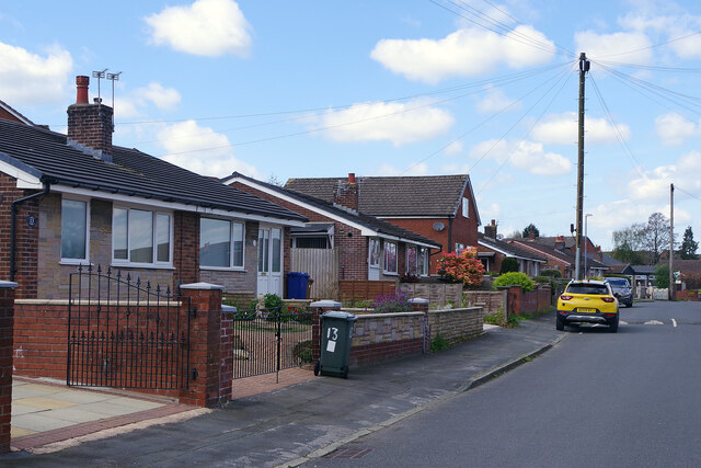
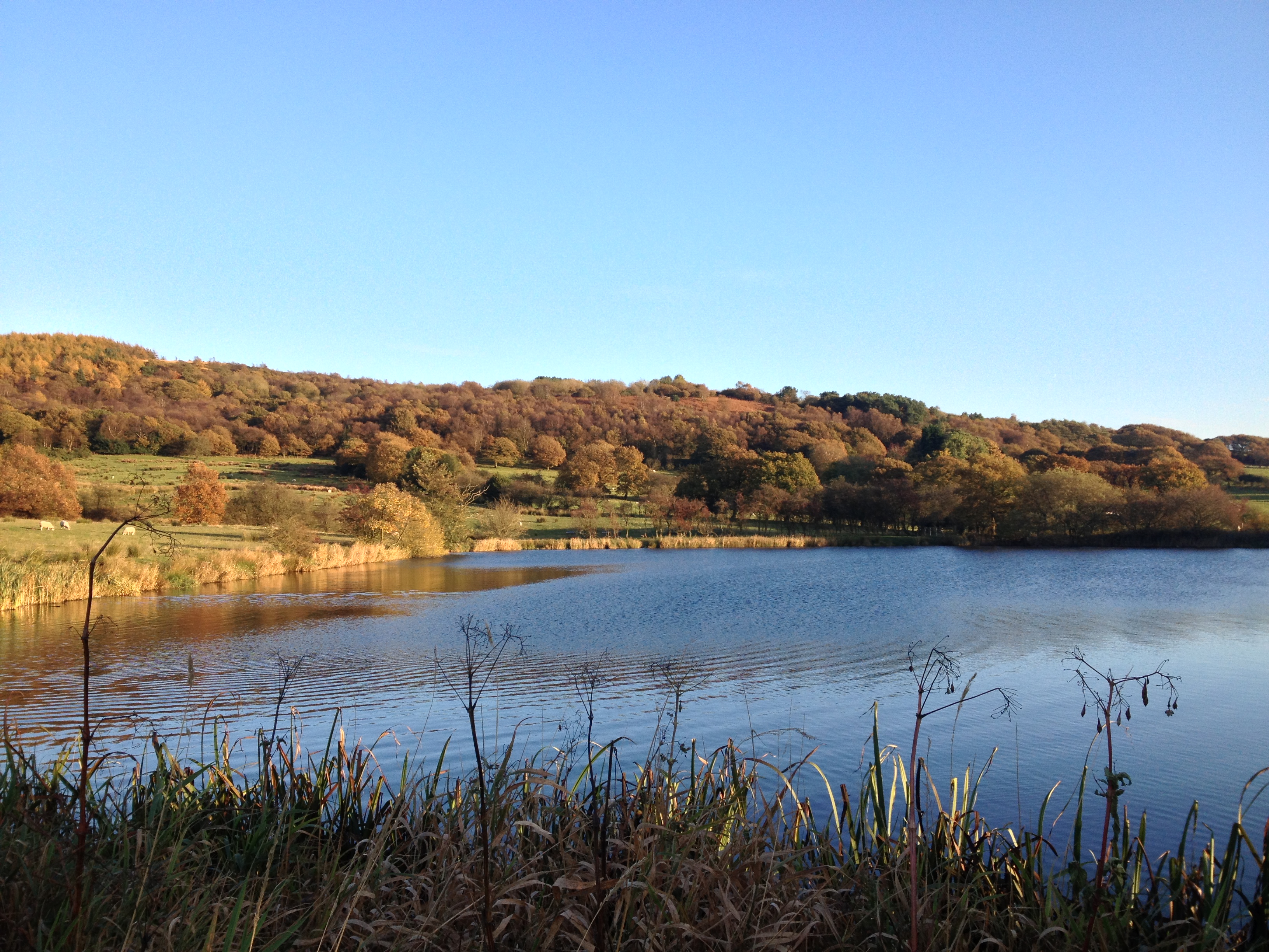
Knowley Images
Images are sourced within 2km of 53.665908/-2.609695 or Grid Reference SD5918. Thanks to Geograph Open Source API. All images are credited.

Knowley is located at Grid Ref: SD5918 (Lat: 53.665908, Lng: -2.609695)
Administrative County: Lancashire
District: Chorley
Police Authority: Lancashire
What 3 Words
///party.damage.short. Near Chorley, Lancashire
Nearby Locations
Related Wikis

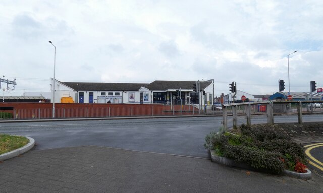
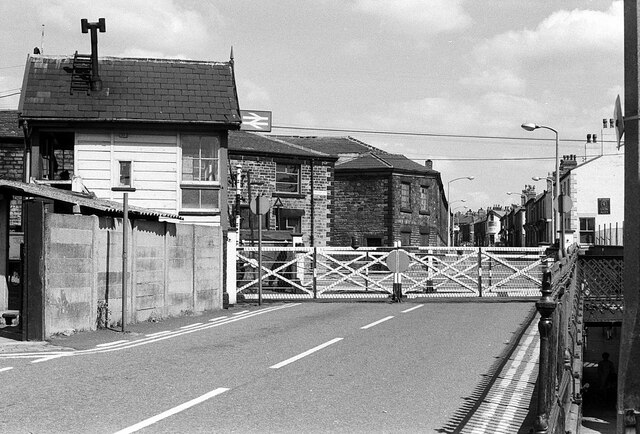
Heapey railway station
Heapey railway station served the village of Heapey, in Lancashire, England. == History == The station was opened by the Lancashire and Yorkshire Railway...
Healey Nab
Healey Nab or "The Nab" is an area of countryside owned partly by Lancashire County Council containing rolling hills, moorland, woodland, ponds and streams...

Heapey
Heapey is a village and civil parish of the Borough of Chorley, in Lancashire, England. The village is two miles from Chorley and on the western fringe...

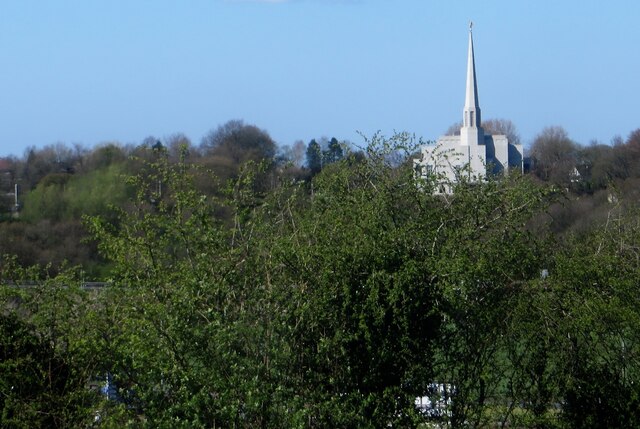
Preston England Temple
The Preston England Temple is the 52nd operating temple of the Church of Jesus Christ of Latter-day Saints (LDS Church). The temple is located in the town...
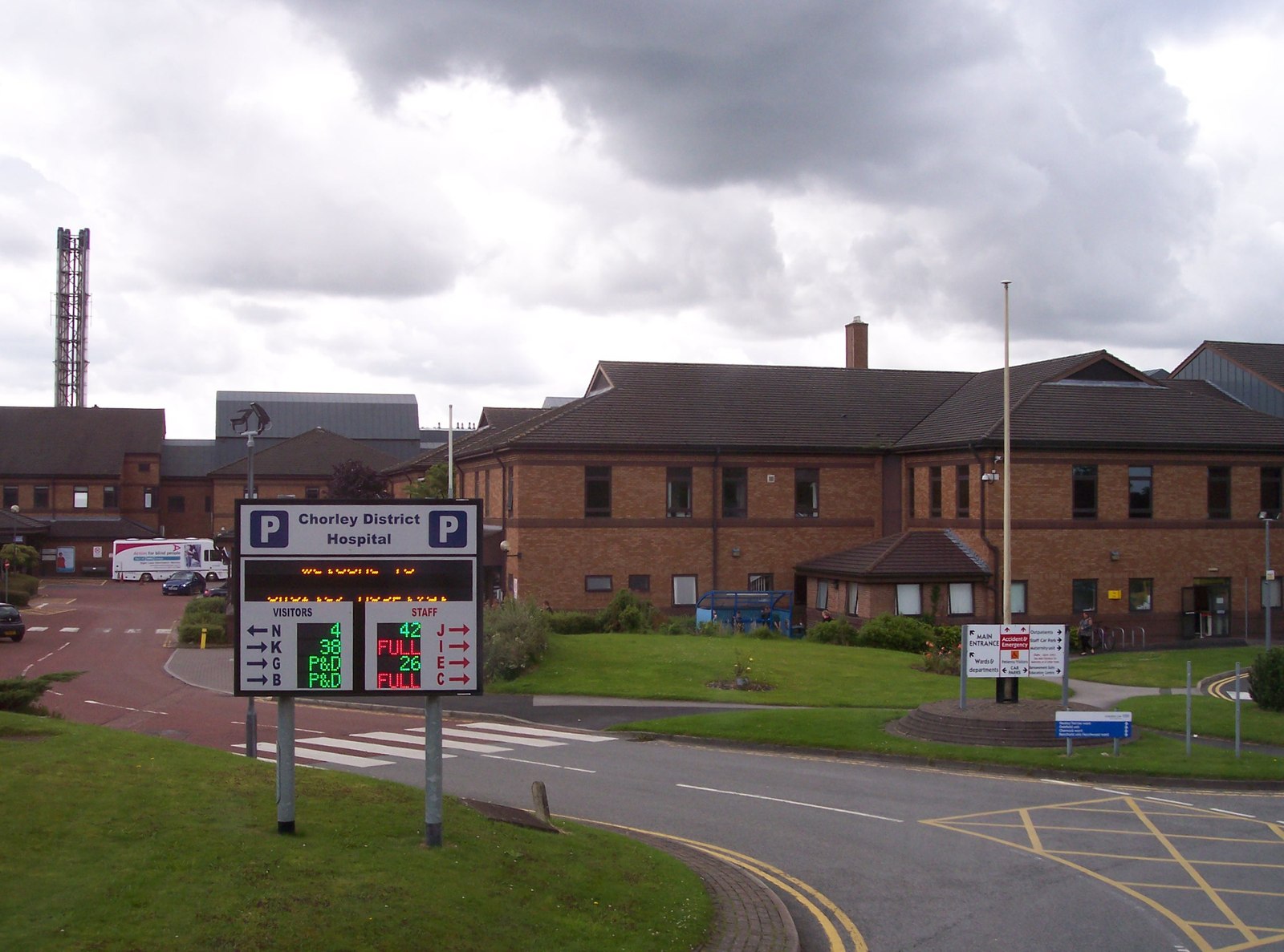
Chorley and South Ribble Hospital
Chorley and South Ribble Hospital is an acute general hospital in Chorley. The hospital is situated on Euxton lane in Chorley close to junction 8 of the...

St Michael's Church of England High School, Chorley
St Michael's is a Church of England secondary school located in the town of Chorley, Lancashire, England. The school is home to 1,200 pupils, and is a...

White Coppice
White Coppice is a hamlet near Chorley, Lancashire, England. It was the most populated part of the township of Anglezarke in the 19th century. Close to...
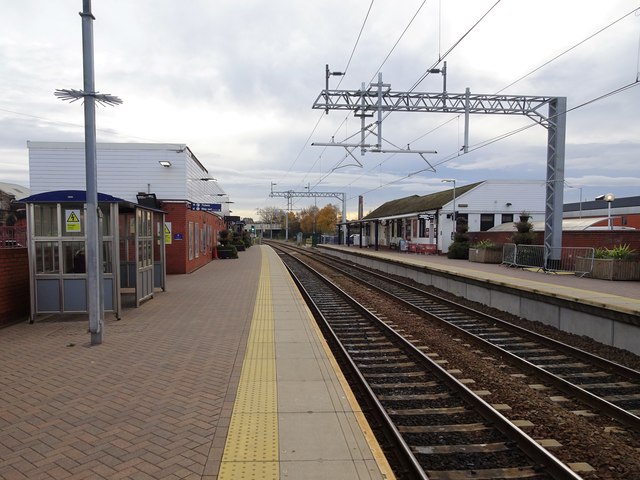
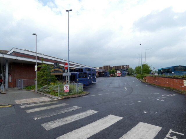
Chorley railway station
Chorley railway station serves the town of Chorley in Lancashire, England. Since 2004 it has been linked with Chorley Interchange bus and coach station...
Nearby Amenities
Located within 500m of 53.665908,-2.609695Have you been to Knowley?
Leave your review of Knowley below (or comments, questions and feedback).