Little Heath

Settlement in Oxfordshire South Oxfordshire

England

Little Heath
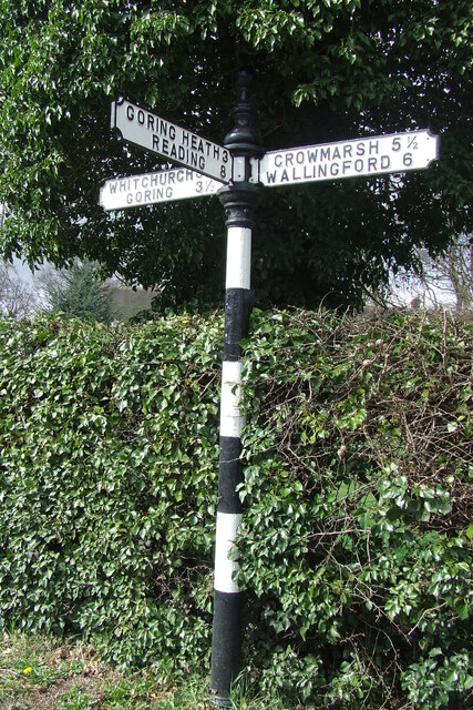
Direction Sign – Signpost on the B471 in Woodcote parish Located on the northwest side of the junction of the B471 Goring Road and Whitehouse Road in Woodcote parish. 3 arms and pawn finial. The Goring Heath / Reading arm had been lost by 2017.

Milestone Society National ID: OX_SU6481
Direction Sign – Signpost on the B471 in Woodcote parish Credit: John V Nicholls

Little Heath is a small village located in Oxfordshire, England. Situated approximately 5 miles northeast of the city of Oxford, it falls within the Cherwell district. The village is surrounded by picturesque countryside, offering residents and visitors a serene and tranquil atmosphere.

The history of Little Heath dates back centuries, with evidence of settlement in the area from the Roman period. It has remained a predominantly rural village, characterized by its charming thatched-roof cottages, quaint village green, and a traditional pub that serves as a focal point for the community.

Despite its small size, Little Heath boasts a strong sense of community spirit. Local events and activities, such as fairs and festivals, are organized throughout the year, bringing residents together. The village also has a primary school, providing education for the local children.

For those seeking outdoor pursuits, Little Heath offers numerous opportunities. The surrounding countryside is ideal for walking, hiking, and cycling, with several footpaths and bridleways crisscrossing the area. Additionally, the nearby River Cherwell provides opportunities for boating and fishing.

While Little Heath itself may be relatively quiet, it benefits from its proximity to Oxford, which offers a wide range of amenities and cultural attractions. Residents of Little Heath can easily access the city for shopping, dining, and entertainment options.

Overall, Little Heath is a charming rural village, with a close-knit community, beautiful countryside, and convenient access to the city of Oxford. It offers a peaceful and idyllic lifestyle for its residents.

If you have any feedback on the listing, please let us know in the comments section below.

Little Heath Images

Images are sourced within 2km of 51.522054/-1.0887316 or Grid Reference SU6380. Thanks to Geograph Open Source API. All images are credited.
Direction Sign – Signpost on the B471 in Woodcote parish Located on the northwest side of the junction of the B471 Goring Road and Whitehouse Road in Woodcote parish. 3 arms and pawn finial. The Goring Heath / Reading arm had been lost by 2017.

Milestone Society National ID: OX_SU6481
Direction Sign – Signpost on the B471 in Woodcote parish
Located on the northwest side of the junction of the B471 Goring Road and Whitehouse Road in Woodcote parish. 3 arms and pawn finial. The Goring Heath / Reading arm had been lost by 2017. Milestone Society National ID: OX_SU6481
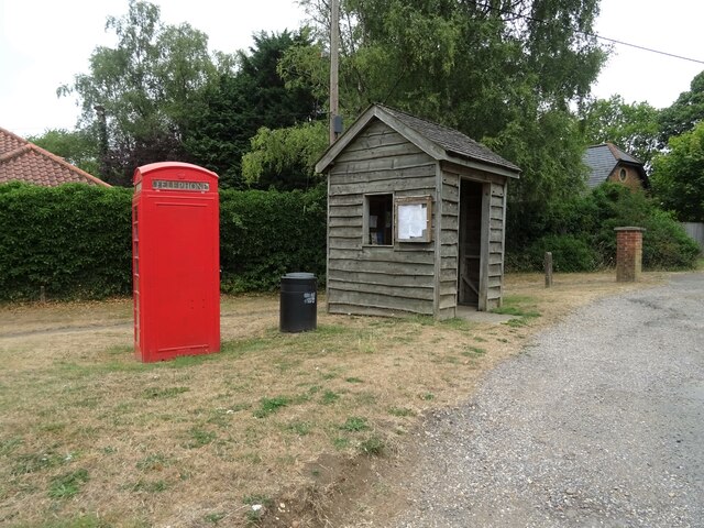
K6 telephone box and bus shelter, Cray's Pond
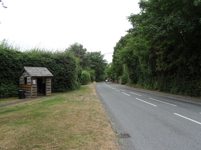
Bus shelter on the B4256, Cray's Pond
B4526, Cray's Pond
B4526, Cray's Pond
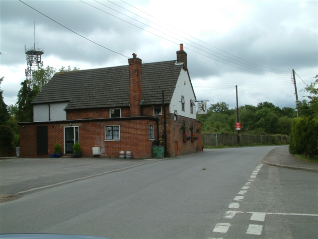
The White Lion, Cray's Pond Not currently open (2022).
See <a href="https://www.geograph.org.uk/photo/2829589">SU6380 : The White Lion, Crays Pond</a> for happier times.
The White Lion, Cray's Pond
Not currently open (2022). See SU6380 : The White Lion, Crays Pond for happier times.
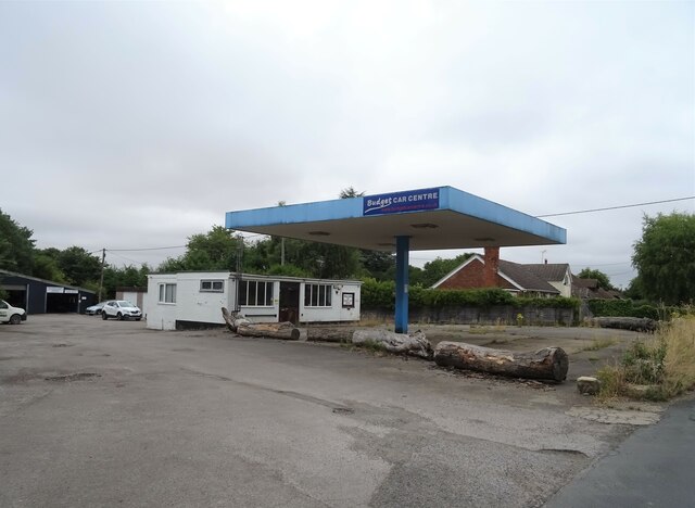
Garage and car sales, Cray's Pond
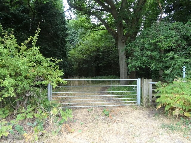
Gated track and footpath off Goring Road
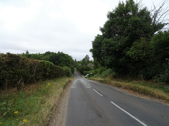
Goring Road The B471 towards Woodcote.
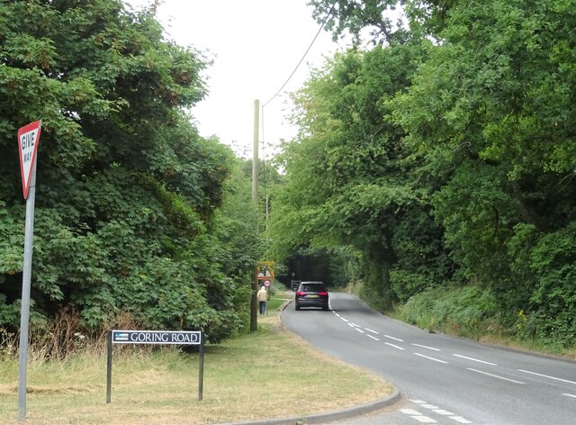
Goring Road
The B471 towards Woodcote.
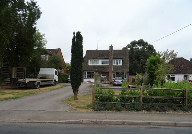
House on Goring Road
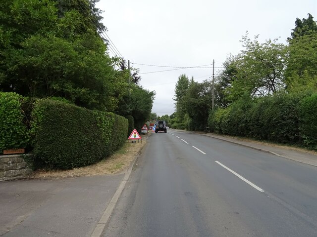
Roadworks on Goring Road (B471)
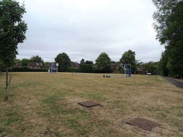
Recreation ground, Woodcote
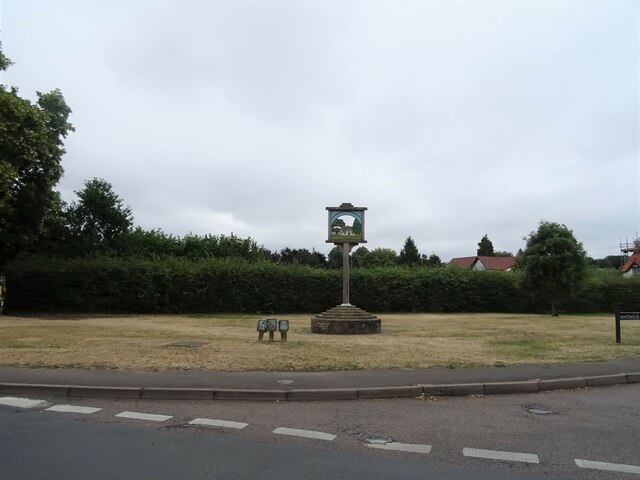
Village sign, Woodcote
The Red Lion, Woodcote On Goring Road.
See <a href="https://www.geograph.org.uk/photo/7246411">SU6482 : Sign for the Red Lion, Woodcote</a> for sign.
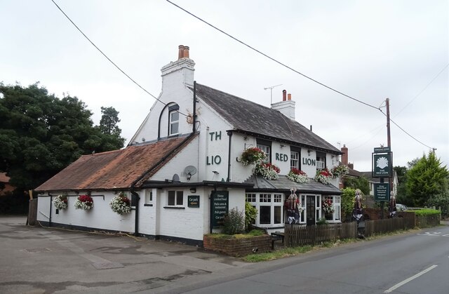
The Red Lion, Woodcote
On Goring Road. See SU6482 : Sign for the Red Lion, Woodcote for sign.
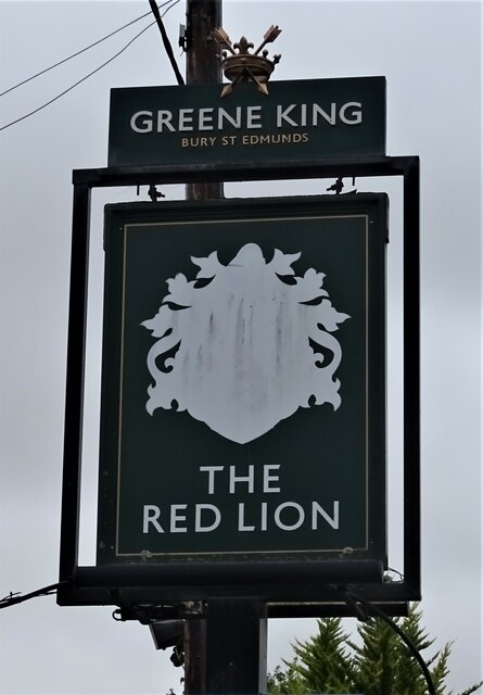
Sign for the Red Lion, Woodcote See <a href="https://www.geograph.org.uk/photo/7246410">SU6482 : The Red Lion, Woodcote</a> for context.
Sign for the Red Lion, Woodcote
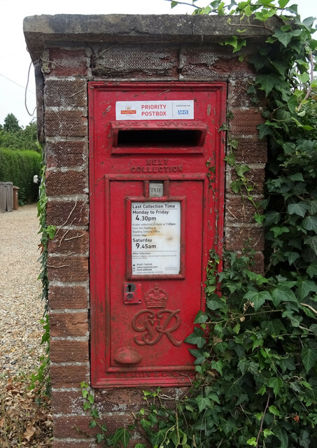
George VI postbox on Goring Road, Woodcote Postbox No. RG8 356.
George VI postbox on Goring Road, Woodcote
Postbox No. RG8 356.
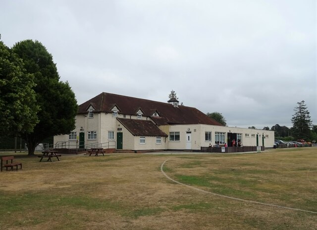
Woodcote Village Hall
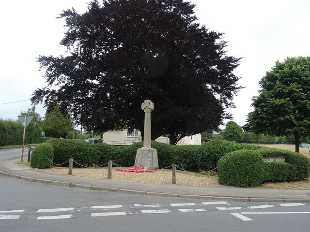
War Memorial, Woodcote
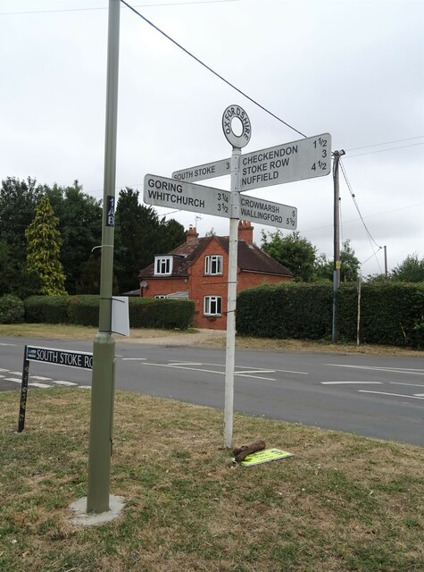
Fingerpost, Woodcote
Show me another place!

Little Heath is located at Grid Ref: SU6380 (Lat: 51.522054, Lng: -1.0887316)

Administrative County: Oxfordshire

District: South Oxfordshire

Police Authority: Thames Valley

What 3 Words

///quieter.headstone.rewarding. Near Goring, Oxfordshire

Related Wikis

Crays Pond

Crays Pond is a hamlet situated in the parish of Goring Heath in South Oxfordshire. Crays Pond is about 2.4 miles (3.9 km) northeast of Goring-on-Thames...

Goring Heath

Goring Heath is a hamlet and civil parish in the Chiltern Hills in South Oxfordshire. The civil parish includes the villages of Whitchurch Hill and Crays...

The Oratory Preparatory School

The Oratory Prep School is a Roman Catholic day and boarding school for some 330 boys and girls aged from two to thirteen, founded in 1925. The school...

Elvendon

Elvendon is a small settlement in Oxfordshire and the Chiltern Hills, near Goring. It includes the grade II listed building Elvendon Priory. == Etymology... ==

Goring Rural District

Goring was a rural district in Oxfordshire, England from 1894 to 1932. It was formed from that part of the Bradfield rural sanitary district which was...

Whitchurch Hill

Whitchurch Hill is a village in the Chiltern Hills in Oxfordshire, about 5.5 miles (9 km) northwest of Reading, Berkshire, near Whitchurch-on-Thames. The...

Woodcote

Woodcote is a village and civil parish in South Oxfordshire, about 5 miles (8 km) southeast of Wallingford and about 7 miles (11 km) northwest of Reading...

Langtree School

Langtree School is a coeducational secondary school located in the village of Woodcote in South Oxfordshire, England. The school has approximately 624...

Nearby Amenities

Located within 500m of 51.522054,-1.0887316
Created By: osmeditor2
Lat/Long: 51.5223333/-1.0816614
Cray's Pond
Alt Name: Crays Pond
Place: hamlet
Wikidata: Q5183060
Wikipedia: en:Crays Pond
Lat/Long: 51.5209663/-1.0835591
Created By: Merkaartor 0.13
Lat/Long: 51.5177679/-1.0887837
Created By: Merkaartor 0.13
Lat/Long: 51.5180367/-1.0892343
Created By: Merkaartor 0.13
Lat/Long: 51.5240335/-1.0921096
Barrier: kissing_gate
Lat/Long: 51.5219708/-1.0886333
Created By: Merkaartor 0.13
Lat/Long: 51.5183043/-1.0910367
Bus Stop
White Lion
Naptan AtcoCode: 340000237OPP
Naptan Bearing: N
Naptan CommonName: White Lion PH
Naptan Indicator: Opposite
Naptan Landmark: White Lion
Naptan NaptanCode: oxfajtpa
Naptan Notes: Timetable Case Only
Naptan Street: Goring Road
Naptan Verified: no
Shelter: yes
Source: naptan_import
Wheelchair: limited
Lat/Long: 51.5206976/-1.0826407
Bus Stop
Goring Road
Bus: yes
Naptan AtcoCode: 340001610NOR
Naptan Bearing: NW
Naptan CommonName: Goring Road
Naptan Indicator: Opposite
Naptan Landmark: Opp Bus Shelter
Naptan NaptanCode: oxfgmagj
Naptan Street: Reading Road
Naptan Verified: no
Public Transport: platform
Shelter: yes
Source: naptan_import
Wheelchair: no
Lat/Long: 51.5205017/-1.083433
Goring Road
Naptan AtcoCode: 340001610SOU
Naptan Bearing: SE
Naptan BusStopType: CUS
Naptan CommonName: Goring Road
Naptan Indicator: Corner
Naptan Landmark: Bus Shelter
Naptan NaptanCode: oxfgdwjm
Naptan Street: Reading Road
Naptan Verified: no
Source: naptan_import
Lat/Long: 51.5205599/-1.0833714
Addr Housenumber: 1
Source: survey
Lat/Long: 51.5220042/-1.0868556
Addr Housenumber: 8
Source: survey
Lat/Long: 51.5217905/-1.0861046
Post Box
Post Box Mounting: brick_pillar
Post Box Type: wall
Ref: RG8 261
Royal Cypher: EIIR
Royal Cypher Wikidata: Q33102113
Lat/Long: 51.5207703/-1.0826517
Turning Loop
Lat/Long: 51.5220163/-1.0844652
Public Bookcase
Booth: K6
Disused Amenity: telephone
Man Made: telephone_box
Public Bookcase Type: phone_box
Lat/Long: 51.5206693/-1.0826987
Direction: 205
Generator Method: photovoltaic
Generator Output Electricity: yes
Generator Solar Modules: 10
Generator Source: solar
Generator Type: solar_photovoltaic_panel
Location: roof
Power: generator
Lat/Long: 51.522607/-1.094884
Direction: 205
Fixme: survey for panel count
Generator Method: photovoltaic
Generator Output Electricity: yes
Generator Solar Modules: 12
Generator Source: solar
Generator Type: solar_photovoltaic_panel
Location: roof
Power: generator
Lat/Long: 51.5210633/-1.0843432
The data included in this document is from www.openstreetmap.org. The data is made available under ODbL.

Have you been to Little Heath?

Leave your review of Little Heath below (or comments, questions and feedback).