Little Acton

Settlement in Worcestershire Wychavon

England

Little Acton

The door of Doverdale church
The door of Doverdale church Credit: Jeff Gogarty

Little Acton is a small village located in the county of Worcestershire, England. Situated approximately 4 miles east of the town of Kidderminster, Little Acton is nestled in a picturesque rural setting, surrounded by rolling hills and lush green fields.

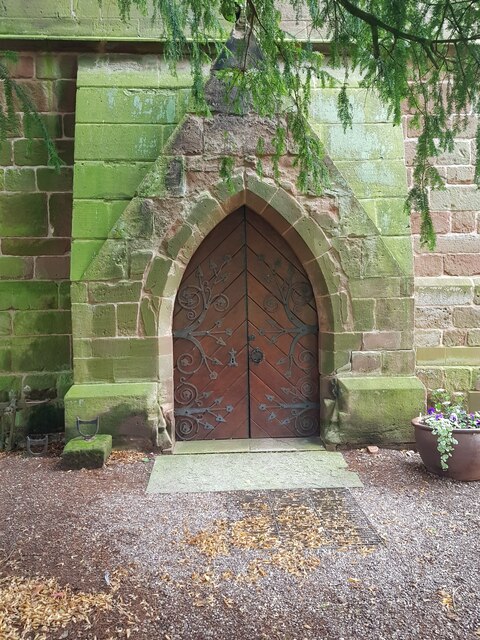
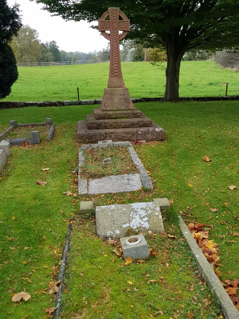
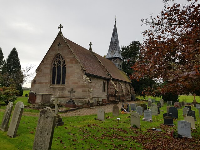
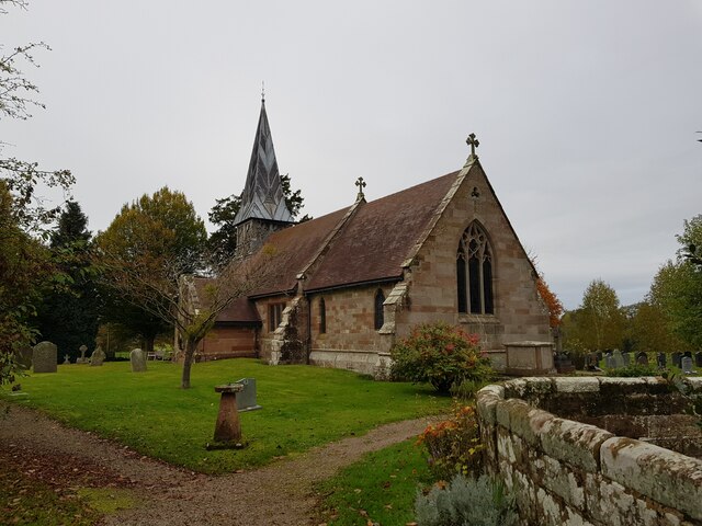
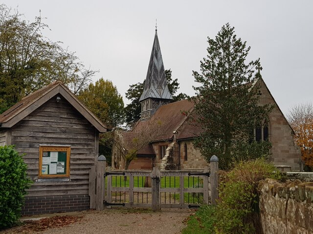
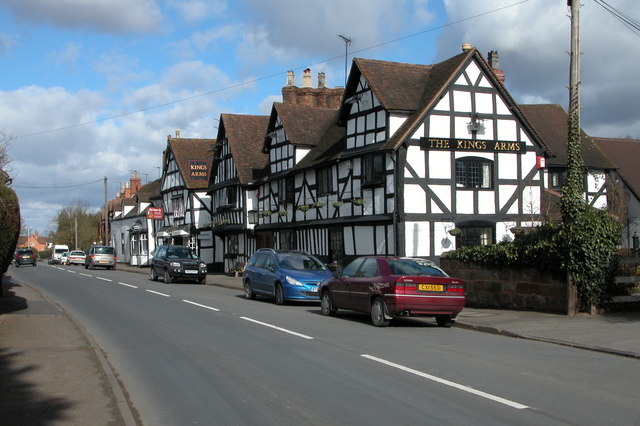
The village itself is characterized by its charming traditional houses, many of which date back several centuries. The architecture reflects the area's rich history, with timber-framed buildings and thatched roofs adding to its quaint charm. The local church, St. Mary's, is a prominent feature of the village, serving as a focal point for the community.

Despite its small size, Little Acton boasts a tight-knit community and a strong sense of local pride. Residents often engage in various community events and activities, fostering a friendly and welcoming atmosphere. The village has a primary school, providing education for the local children, and a small village hall that serves as a hub for social gatherings and events.

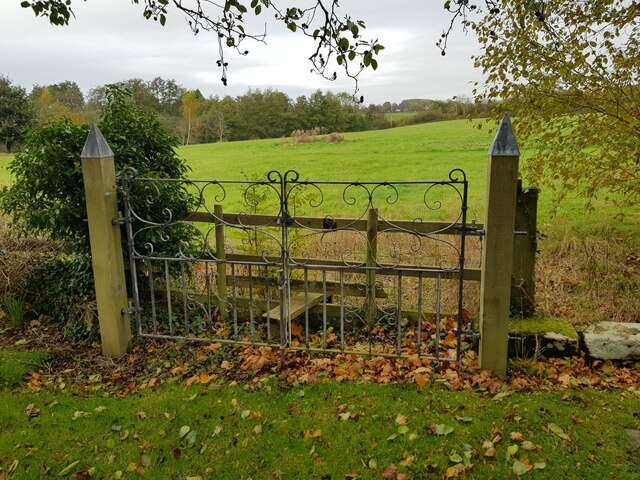
While Little Acton primarily serves as a residential area, it benefits from its proximity to larger towns for amenities and services. The village is well-connected by road, making it easily accessible to surrounding areas. The tranquil countryside setting offers numerous opportunities for outdoor activities, such as hiking and cycling, with many scenic trails and pathways to explore.

In summary, Little Acton is a charming and idyllic village in Worcestershire, known for its beautiful architecture, strong community spirit, and stunning rural surroundings.

If you have any feedback on the listing, please let us know in the comments section below.
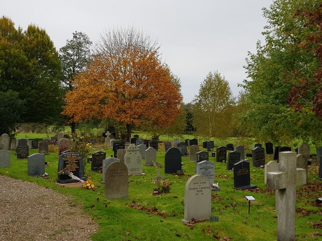
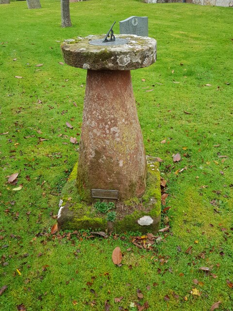
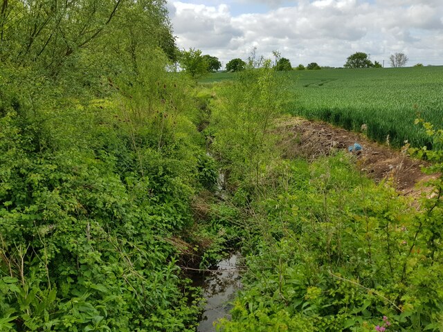
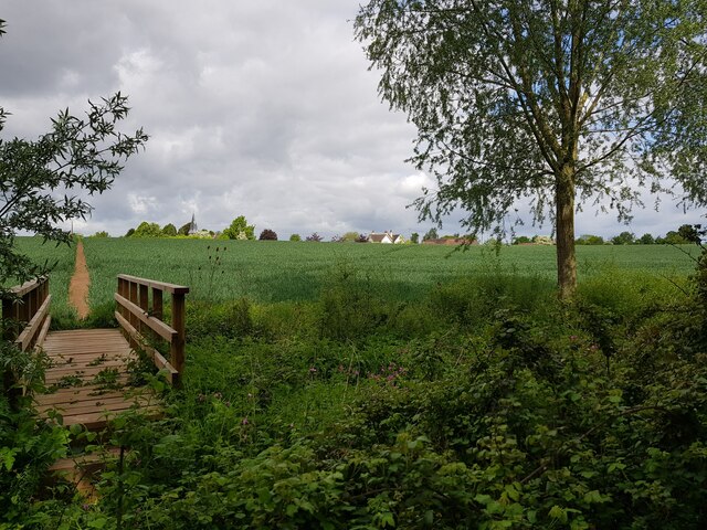
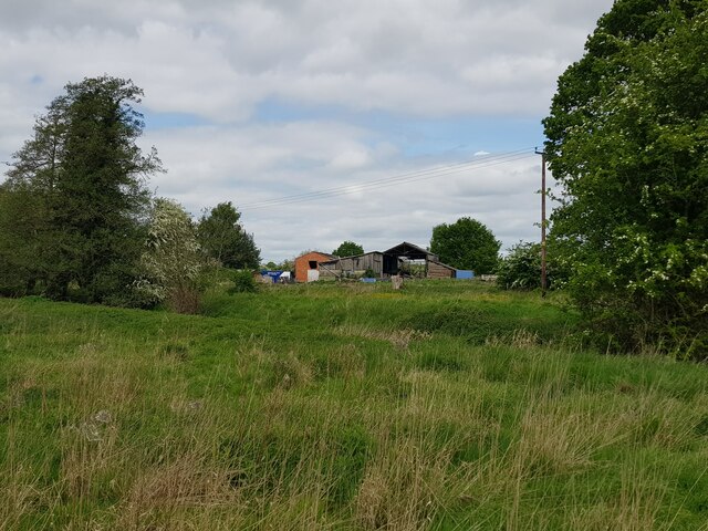
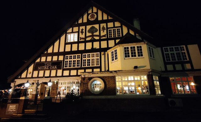
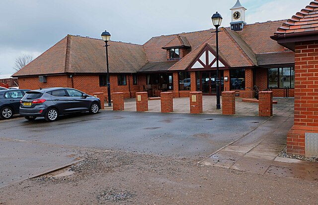
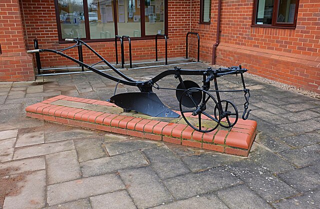
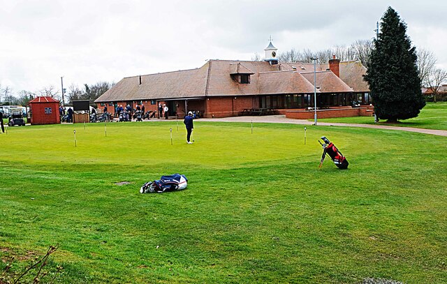
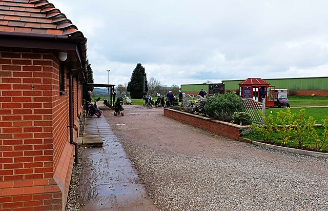
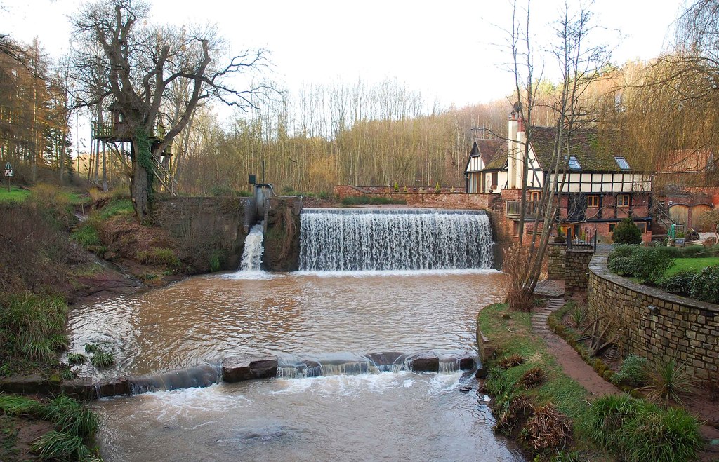
Little Acton Images

Images are sourced within 2km of 52.300091/-2.2287194 or Grid Reference SO8466. Thanks to Geograph Open Source API. All images are credited.

The door of Doverdale church
Gated stile at corner of Doverdale churchyard
Cross and graves in Doverdale Churchyard
Church of St Mary, Doverdale (from the North East)
Autumn colour, Doverdale churchyard
Sundial, Doverdale church
Church of St Mary, Doverdale (from the South East)
St Mary's Doverdale from the car park
Ditch with stream, near Church Farm, Doverdale
Footbridge and footpath through crops, Doverdale The spire of Doverdale Church <a href="https://www.geograph.org.uk/photo/5136945">SO8666 : St Mary's Church, Doverdale</a> can just be made out to the right of the path.
Footbridge and footpath through crops, Doverdale
The spire of Doverdale Church SO8666 : St Mary's Church, Doverdale can just be made out to the right of the path.
Yarding's Farm, Oldfield
Doverdale Mill
Doverdale Mill
The Mitre Oak Inn A large Marston's food pub along the A449 Worcester Road at Crossway Green.
The Mitre Oak Inn
A large Marston's food pub along the A449 Worcester Road at Crossway Green.
Ombersley Golf Club Clubhouse (1), Bishops Wood Road, near Ombersley, Worcs The club was developed by a local farming family who continue to run it. The course opened in late 1991. The impressive Clubhouse includes a bar and restaurant which is open to the public, including those who do not play golf.  There is a large car park in front with access from Bishops Wood Road.

<a href="https://www.geograph.org.uk/photo/7436394">SO8267 : Ombersley Golf Club Clubhouse (2), Bishops Wood Road, near Ombersley, Worcs</a>.
Ombersley Golf Club Clubhouse (1), Bishops Wood Road, near Ombersley, Worcs
The club was developed by a local farming family who continue to run it. The course opened in late 1991. The impressive Clubhouse includes a bar and restaurant which is open to the public, including those who do not play golf. There is a large car park in front with access from Bishops Wood Road. SO8267 : Ombersley Golf Club Clubhouse (2), Bishops Wood Road, near Ombersley, Worcs.
Plough in front of Clubhouse, Ombersley Golf Club, near Ombersley, Worcs The Ombersley Golf Club is located in a very rural area and on former farmland. The plough is a symbol of this.

<a href="https://www.geograph.org.uk/photo/7436273">SO8367 : Ombersley Golf Club Clubhouse (1), Bishops Wood Road, near Ombersley, Worcs</a>.
<a href="https://www.geograph.org.uk/photo/7436394">SO8267 : Ombersley Golf Club Clubhouse (2), Bishops Wood Road, near Ombersley, Worcs</a>.
Plough in front of Clubhouse, Ombersley Golf Club, near Ombersley, Worcs
The Ombersley Golf Club is located in a very rural area and on former farmland. The plough is a symbol of this. SO8367 : Ombersley Golf Club Clubhouse (1), Bishops Wood Road, near Ombersley, Worcs. SO8267 : Ombersley Golf Club Clubhouse (2), Bishops Wood Road, near Ombersley, Worcs.
Ombersley Golf Club Clubhouse (2), Bishops Wood Road, near Ombersley, Worcs The clubhouse includes a bar and restaurant and an extensively stocked golf shop.

<a href="https://www.geograph.org.uk/photo/7436273">SO8367 : Ombersley Golf Club Clubhouse (1), Bishops Wood Road, near Ombersley, Worcs</a>.
Ombersley Golf Club Clubhouse (2), Bishops Wood Road, near Ombersley, Worcs
The clubhouse includes a bar and restaurant and an extensively stocked golf shop. SO8367 : Ombersley Golf Club Clubhouse (1), Bishops Wood Road, near Ombersley, Worcs.
Path by Ombersley Golf Course Clubhouse to Driving Range, near Ombersley, Worcs The path leads to the Driving Range, which is the green building in the distance.
Path by Ombersley Golf Course Clubhouse to Driving Range, near Ombersley, Worcs
The path leads to the Driving Range, which is the green building in the distance.
Golf buggies at Ombersley Golf Club, Bishops Wood Road, near Ombersley, Worcs Golf buggies (a.k.a. golf carts) parked near the Clubhouse.
Golf buggies at Ombersley Golf Club, Bishops Wood Road, near Ombersley, Worcs
Golf buggies (a.k.a. golf carts) parked near the Clubhouse.
Show me another place!

Little Acton is located at Grid Ref: SO8466 (Lat: 52.300091, Lng: -2.2287194)

Administrative County: Worcestershire

District: Wychavon

Police Authority: West Merica

What 3 Words

///sponge.tagging.nooks. Near Hartlebury, Worcestershire

Related Wikis

Dunhampton

Dunhampton is a village in Worcestershire, England.

Crossway Green

Crossway Green is a village in Worcestershire, England.

Snead's Green

Snead's Green, sometimes written Sneads Green, is an area of Droitwich Spa, Worcestershire, England.Francis Moule, of Snead's Green House, sold the manorial...

Ombersley and Doverdale

Ombersley and Doverdale is an area in Wychavon district, Worcestershire, England served by a single parish council but comprising the two separate civil...

Cutnall Green Halt railway station

Cutnall Green Halt was a railway station in Worcestershire, England, serving the nearby village of Hampton Lovett on the Oxford, Worcester and Wolverhampton...

Doverdale

Doverdale is a small village and civil parish in Worcestershire, England, to the west of Droitwich. It has a parish church. Doverdale Manor is one of largest...

Ombersley

Ombersley is a village and civil parish in Wychavon district, in the county of Worcestershire, England. The parish includes the hamlet of Holt Fleet,...

Dick Brook

Dick Brook is small tributary stream of the River Severn that flows through Worcestershire, England.The brook is formed from two small unnamed streams...

Nearby Amenities

Located within 500m of 52.300091,-2.2287194
Bus Stop
A449 North Bound
Bus: yes
Naptan AtcoCode: 2000G002419
Naptan Bearing: N
Naptan CommonName: A449 North Bound
Naptan Indicator: Adj
Naptan Landmark: Struges Farm
Naptan NaptanCode: wocdagaj
Naptan Street: A449
Naptan Verified: no
Public Transport: platform
Source: naptan_import
Lat/Long: 52.2966741/-2.2276239
Bus Stop
A449 North Bound- Halfway House
Bus: yes
Naptan AtcoCode: 2000G502420
Naptan Bearing: N
Naptan CommonName: A449 North Bound- Halfway House
Naptan Indicator: Adj
Naptan Landmark: Public House
Naptan NaptanCode: wocdpwat
Naptan Street: Halfway House
Naptan Verified: no
Public Transport: platform
Source: naptan_import
Lat/Long: 52.2981589/-2.2279267
Bus Stop
Acton- A449 South Bound
Bus: yes
Naptan AtcoCode: 2000G502437
Naptan Bearing: SE
Naptan CommonName: Acton- A449 South Bound
Naptan Indicator: Adj
Naptan Landmark: Acton- Farm
Naptan NaptanCode: wocgmgwa
Naptan Street: Kidderminster A449
Naptan Verified: no
Public Transport: platform
Source: naptan_import
Lat/Long: 52.303603/-2.2290527
Bus Stop
A449 South Bound
Bus: yes
Naptan AtcoCode: 2000G502438
Naptan Bearing: N
Naptan BusStopType: CUS
Naptan CommonName: A449 South Bound
Naptan Indicator: Adj
Naptan Landmark: Halfway House
Naptan NaptanCode: wocgmgwd
Naptan Street: Halfway House
Naptan Verified: no
Public Transport: platform
Shelter: no
Source: naptan_import
Lat/Long: 52.2988832/-2.2277192
Post Box
Collection Plate: CP7
Collection Times: Mo-Fr 16:00; Sa 09:30
Historic Operator: Post Office
Post Box Type: lamp
Ref: DY13 67
Royal Cypher: EIIR
Royal Cypher Wikidata: Q33102113
Lat/Long: 52.3044038/-2.2299137
Restaurant
Spice Fusion
Addr Postcode: DY13 9SW
Cuisine: indian
Website: http://www.spicefusion-restaurant.co.uk/
Lat/Long: 52.2977993/-2.2269765
Fuel
Lat/Long: 52.296031/-2.226896
Acton South
Power: pole
Transformer: distribution
Voltage Primary: 11000
Lat/Long: 52.3028992/-2.2287279
Power: pole
Lat/Long: 52.3037841/-2.2280936
Power: pole
Lat/Long: 52.3044869/-2.2275759
Power: pole
Lat/Long: 52.3029025/-2.2230604
Power: pole
Lat/Long: 52.30195/-2.2230926
Power: pole
Lat/Long: 52.3012796/-2.2231221
Power: pole
Lat/Long: 52.3004693/-2.223161
Power: pole
Lat/Long: 52.300008/-2.2231731
Little Acton
Power: pole
Transformer: distribution
Voltage Primary: 11000
Lat/Long: 52.2997685/-2.2289003
Power: pole
Lat/Long: 52.2990078/-2.2282411
Power: pole
Lat/Long: 52.2987438/-2.2268316
Power: pole
Lat/Long: 52.2978428/-2.2345825
Power: pole
Lat/Long: 52.2977985/-2.2337289
Power: pole
Lat/Long: 52.2977563/-2.2328632
Power: pole
Lat/Long: 52.2977022/-2.2315409
Power: pole
Lat/Long: 52.2972429/-2.2304412
Strudges Farm
Power: pole
Transformer: distribution
Voltage Primary: 11000
Lat/Long: 52.2967914/-2.2293616
Power: pole
Lat/Long: 52.296711/-2.2277268
Power: pole
Lat/Long: 52.2974397/-2.2268705
Dunhampton
Power: pole
Transformer: distribution
Voltage Primary: 11000
Lat/Long: 52.2979019/-2.22632
Power: pole
Lat/Long: 52.2983505/-2.225915
Power: pole
Lat/Long: 52.2989512/-2.2253551
Dunhampton Farm Buildings
Power: pole
Transformer: distribution
Voltage Primary: 11000
Lat/Long: 52.2991235/-2.2241588
Power: pole
Lat/Long: 52.2995028/-2.2232053
Power: pole
Lat/Long: 52.2988329/-2.2232455
Power: pole
Lat/Long: 52.2981368/-2.223267
Power: pole
Lat/Long: 52.2973027/-2.2232535
The data included in this document is from www.openstreetmap.org. The data is made available under ODbL.

Have you been to Little Acton?

Leave your review of Little Acton below (or comments, questions and feedback).