Leys
Settlement in Angus
Scotland
Leys
Leys is a small village located in the Angus region of Scotland. Situated about 4 miles northeast of Forfar, it is nestled amidst picturesque countryside, offering residents and visitors a tranquil and scenic setting.
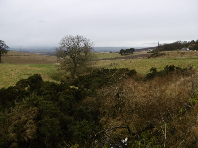
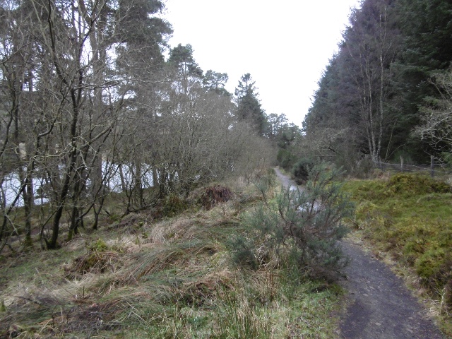
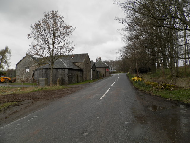
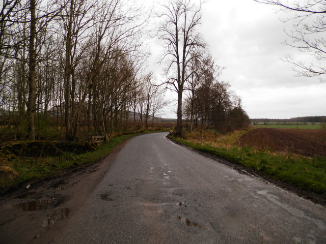
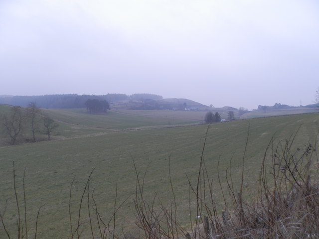
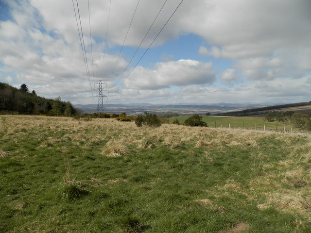
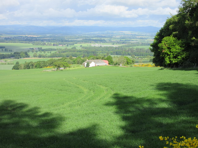
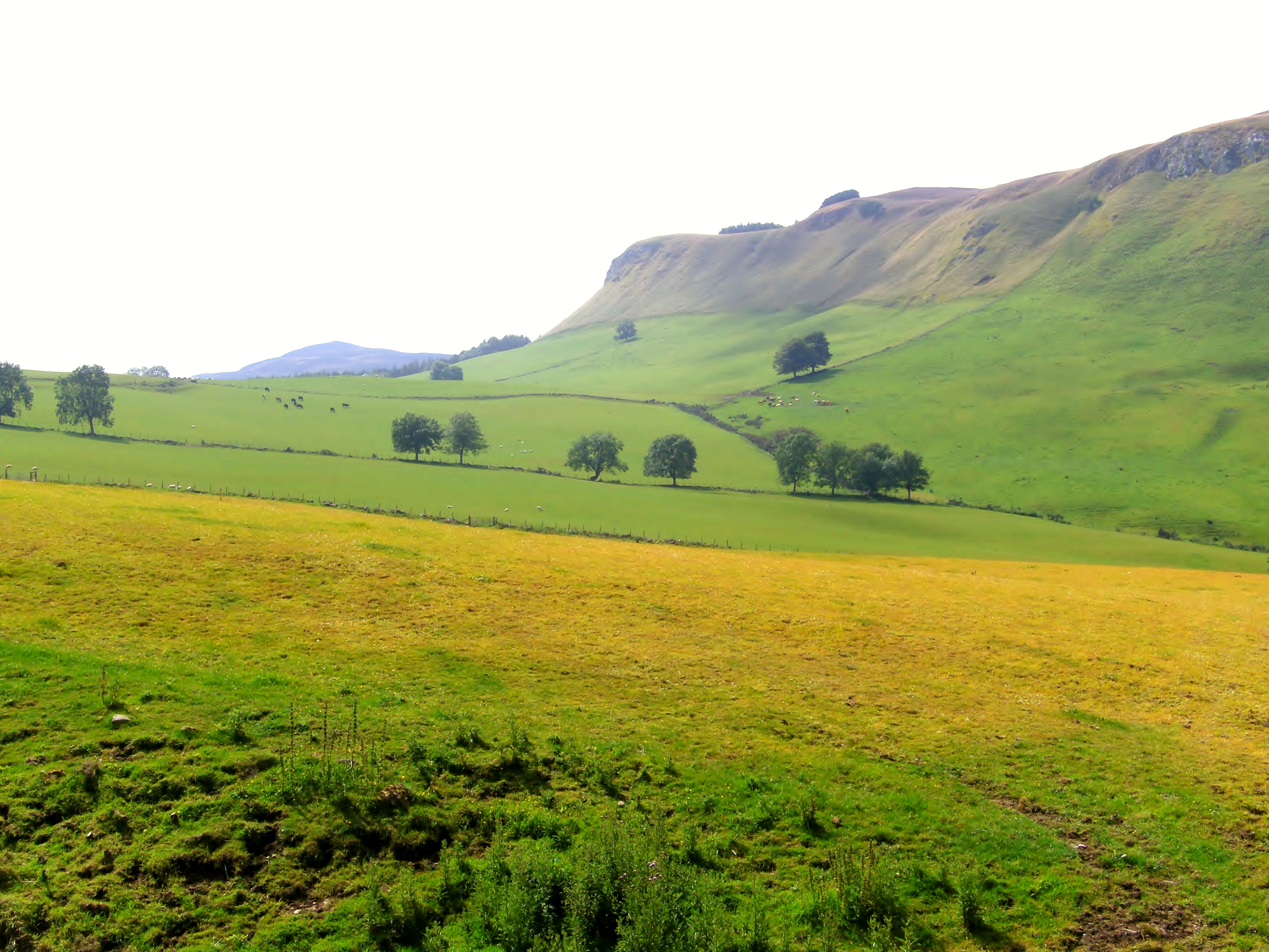
The village of Leys is known for its charming and rustic atmosphere. It features a collection of traditional stone cottages and houses, giving it a quaint and idyllic feel. The surrounding landscape is dominated by rolling hills, lush green fields, and the occasional woodland, making it a haven for nature enthusiasts and hikers.
Although Leys is a small village, it boasts a strong sense of community and has a few amenities to cater to its residents. The village has a primary school, ensuring that children have access to education within their local area. Additionally, there is a small shop and post office that provides essential groceries and services.
Leys is well-positioned for those looking to explore the wider Angus region. It is within easy reach of the bustling town of Forfar, where further amenities can be found, including supermarkets, shops, and leisure facilities. For outdoor enthusiasts, the nearby Angus Glens offer a myriad of opportunities for hiking, cycling, and wildlife spotting.
Overall, Leys is a charming and peaceful village, offering residents a serene lifestyle and a strong sense of community. Its beautiful surroundings and proximity to larger towns make it an attractive place for those seeking a balance between rural tranquility and access to essential services.
If you have any feedback on the listing, please let us know in the comments section below.
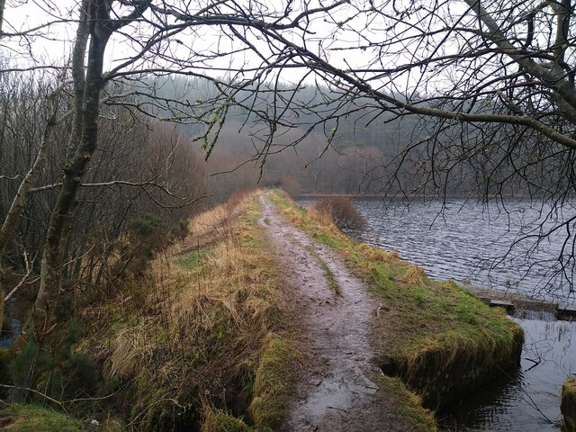
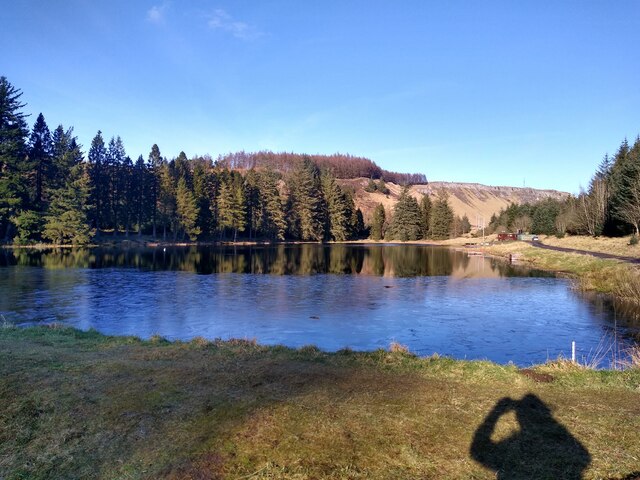
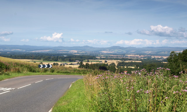
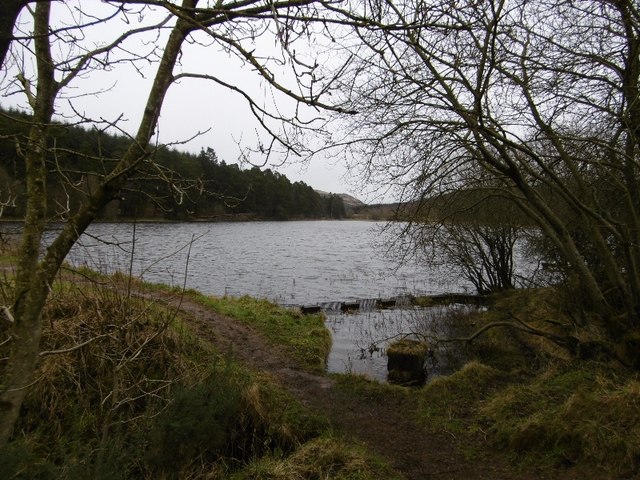
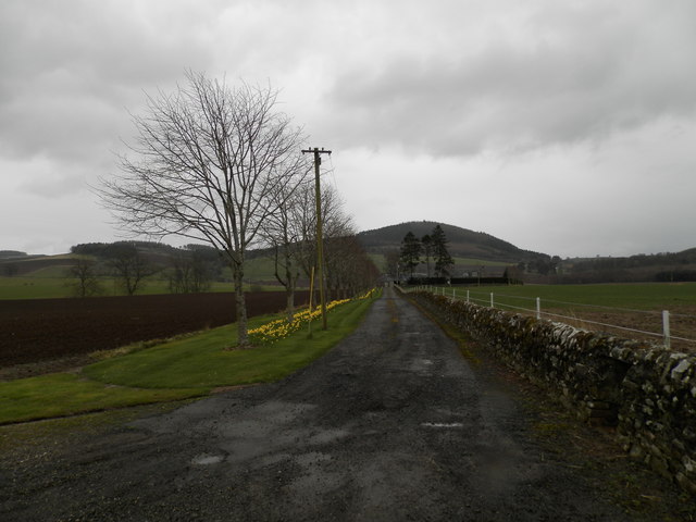
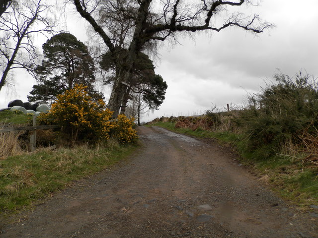
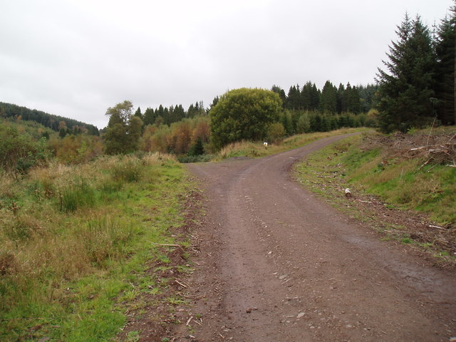
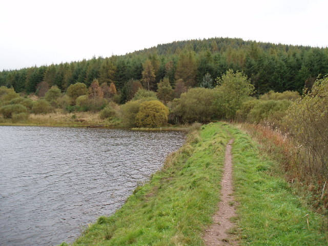
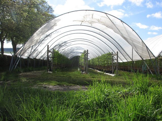
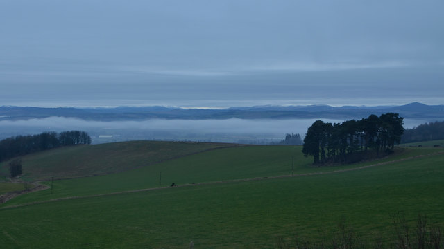
Leys Images
Images are sourced within 2km of 56.525244/-3.2160355 or Grid Reference NO2537. Thanks to Geograph Open Source API. All images are credited.
Leys is located at Grid Ref: NO2537 (Lat: 56.525244, Lng: -3.2160355)
Unitary Authority: Perth and Kinross
Police Authority: Tayside
What 3 Words
///brownish.writings.kidney. Near Coupar Angus, Perth & Kinross
Nearby Locations
Related Wikis

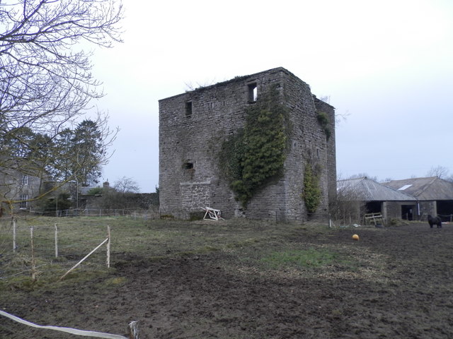
Pitcur
Pitcur is a hamlet at the eastern edge of Perth and Kinross, Scotland, about 2.5 miles (4.0 km) southeast of Coupar Angus.It is home to the ruined 16th...

Kettins
Kettins is a village in Perth and Kinross, Scotland about 14 miles (23 kilometres) northeast of Perth and 11 miles (18 kilometres) northwest of Dundee...

Northballo Hill
Northballo Hill is one of the hills of the Sidlaw range in South East Perthshire, and is located near Coupar Angus. It is popular with dog walkers and...

Lundie Craigs
Lundie Craigs/Westerkeith Hill is one of the hills of the Sidlaw range in South East Perthshire.Lundie Craigs/Westerkeith Hill is located near Coupar Angus...
Campmuir
Campmuir () is a small village in the Perth and Kinross area of Scotland.Campmuir is located less than 1 mile (2 kilometres) south of the main A94 road...
Gask Hill
Gask Hill is one of the least climbed hills of the Sidlaw range in south east Perthshire, Scotland. Gask Hill is located near Coupar Angus and is seen...
Coupar Angus railway station
Coupar Angus railway station served the town of Coupar Angus, Perth and Kinross, Scotland from 1837 to 1967 on the Scottish Midland Junction Railway....
Coupar Angus F.C.
Coupar Angus Junior Football Club are a Scottish Junior football club based in Coupar Angus, Perth and Kinross. Their home ground is Foxhall Park. Formed...
Nearby Amenities
Located within 500m of 56.525244,-3.2160355Have you been to Leys?
Leave your review of Leys below (or comments, questions and feedback).