Leweston
Settlement in Dorset
England
Leweston
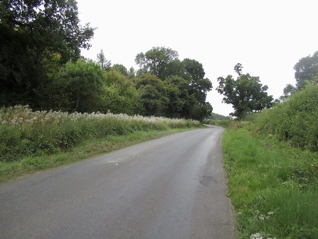
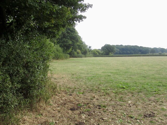
Leweston is a small village located in the county of Dorset, England. Situated on the outskirts of the town of Sherborne, Leweston is known for its picturesque countryside and charming rural atmosphere. The village is nestled amidst rolling hills, lush green fields, and meandering streams, offering breathtaking views of the surrounding landscape.
Leweston's history can be traced back to medieval times when it was primarily an agricultural community. Today, it retains its rural character but has also become a popular residential area, attracting those seeking a peaceful and idyllic lifestyle. The village is home to a close-knit community, with a population of around 500 residents.
One of Leweston's notable landmarks is the Leweston Manor, a beautiful country house that dates back to the 16th century. The manor exudes historic charm and is surrounded by well-maintained gardens, adding to the village's overall aesthetic appeal.
Despite its small size, Leweston offers a range of amenities for its residents and visitors. The village has a primary school, a village hall, and a local pub, providing essential services and a sense of community. Additionally, the nearby town of Sherborne offers a wider array of amenities, including shops, restaurants, and leisure facilities.
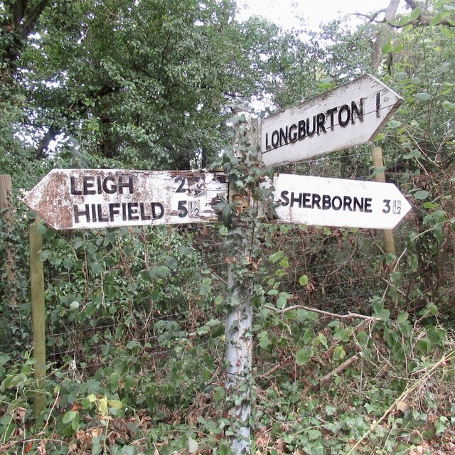
Leweston's location also makes it an ideal base for outdoor enthusiasts. The surrounding countryside provides ample opportunities for walking, cycling, and exploring nature. The nearby Sherborne Castle and Abbey are popular tourist attractions, offering a glimpse into the region's rich history and heritage.
In conclusion, Leweston is a charming village in Dorset that offers a peaceful and picturesque setting with a close-knit community, historic landmarks, and easy access to the beautiful countryside.
If you have any feedback on the listing, please let us know in the comments section below.
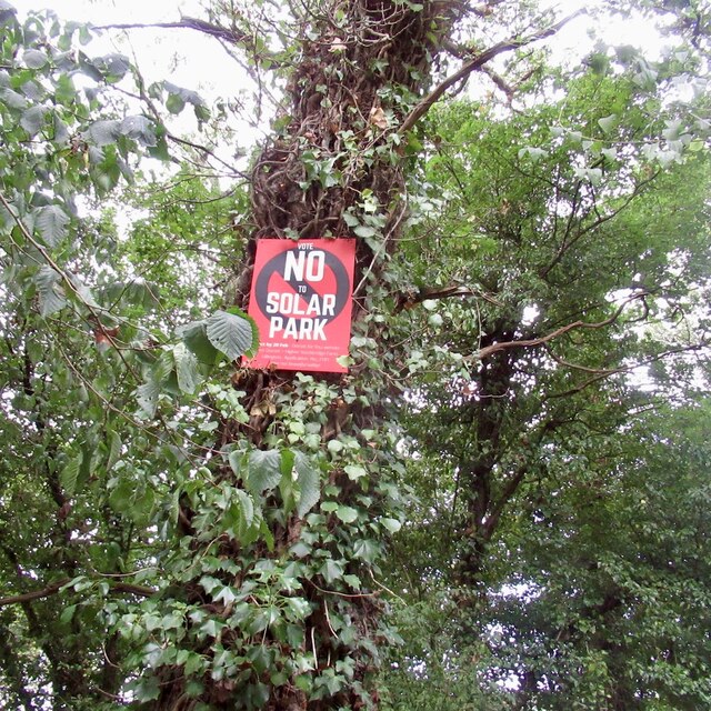
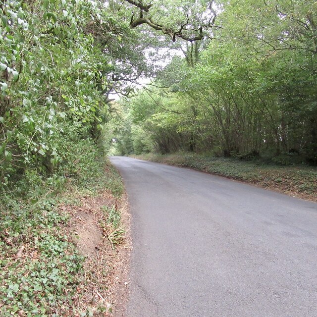
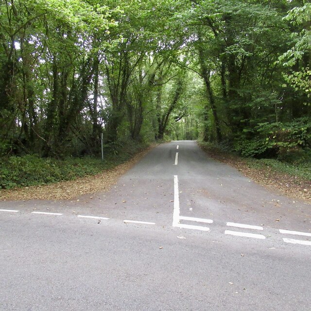
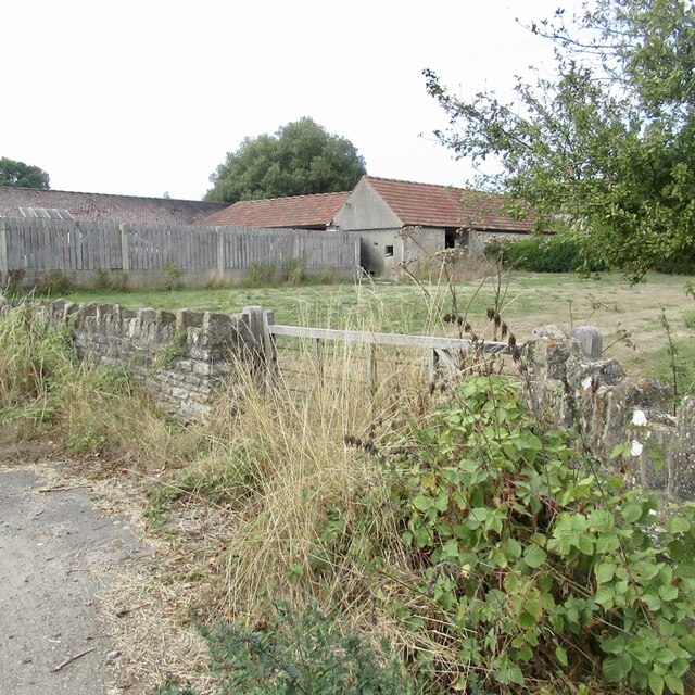
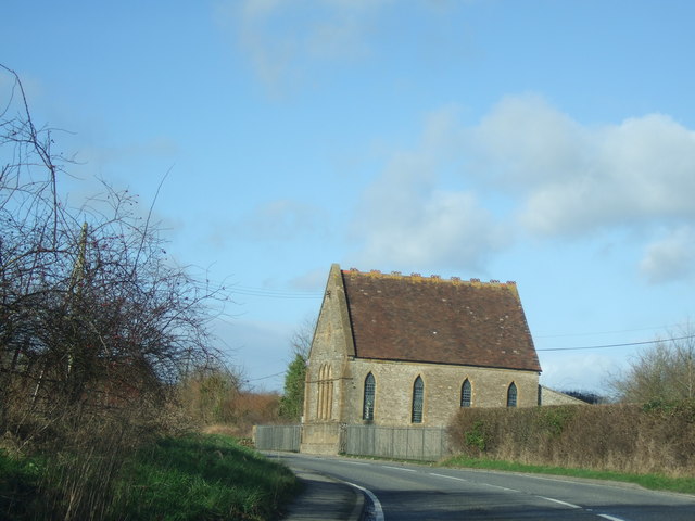
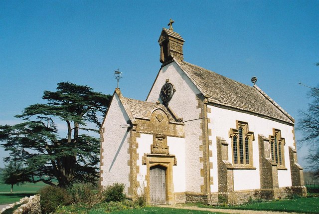
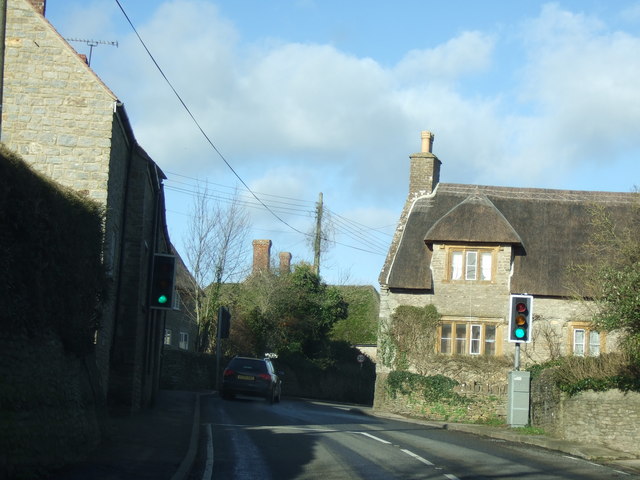
Leweston Images
Images are sourced within 2km of 50.910382/-2.5205119 or Grid Reference ST6312. Thanks to Geograph Open Source API. All images are credited.


Leweston is located at Grid Ref: ST6312 (Lat: 50.910382, Lng: -2.5205119)
Unitary Authority: Dorset
Police Authority: Dorset
What 3 Words
///fake.twists.refusals. Near Sherborne, Dorset
Nearby Locations
Related Wikis
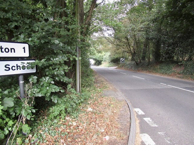
Leweston School
Leweston School is an independent day and boarding school near Sherborne in Dorset, England. The school is co-educational in the Nursery and Preparatory...

Lillington, Dorset
Lillington is a hamlet and civil parish in north west Dorset, England, situated 3 miles (4.8 km) south of Sherborne. Dorset County Council estimate that...
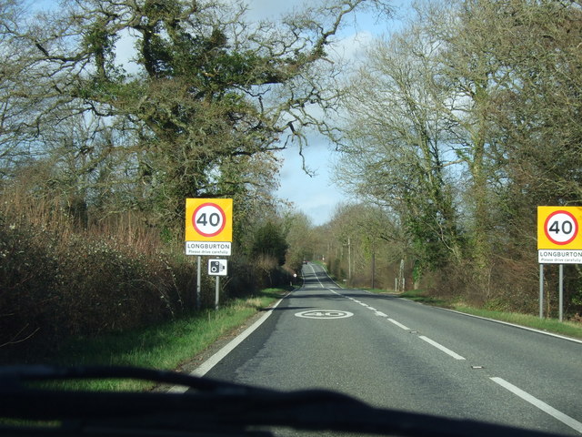
Longburton
Longburton or Long Burton is a village in Dorset, England, three miles (5 km) south of Sherborne. It is sited on a narrow outcrop of Cornbrash limestone...

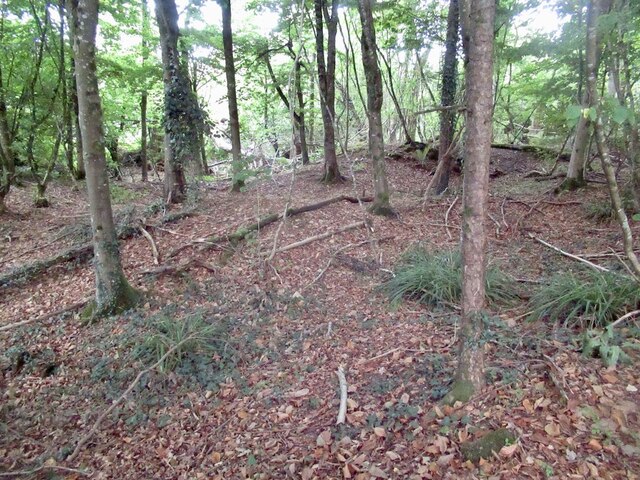
Folke Wood
Folke Wood is a wood near Folke in Dorset, England. It was planted by the Woodland Trust in 1985. It consists of native broadleaved trees as well as apple...
Nearby Amenities
Located within 500m of 50.910382,-2.5205119Have you been to Leweston?
Leave your review of Leweston below (or comments, questions and feedback).