Leicester Forest West

Settlement in Leicestershire Blaby

England

Leicester Forest West

Farmland near Desford
Farmland near Desford Credit: John Welford

Leicester Forest West is a small village located in Leicestershire, England. Situated approximately 5 miles west of the city of Leicester, it falls within the district of Hinckley and Bosworth. The village is predominantly residential, with a population of around 1,500 people.

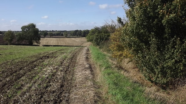
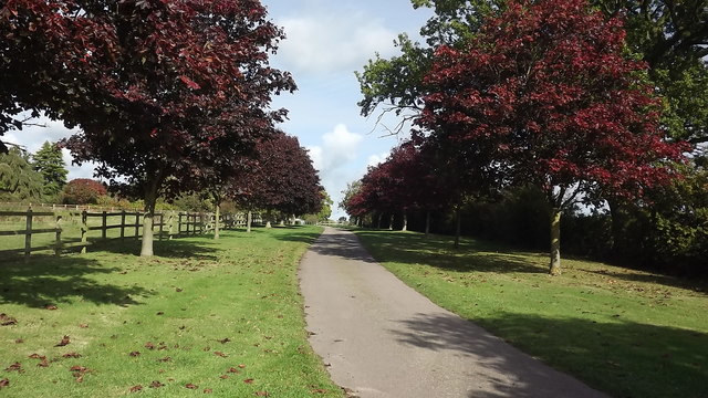
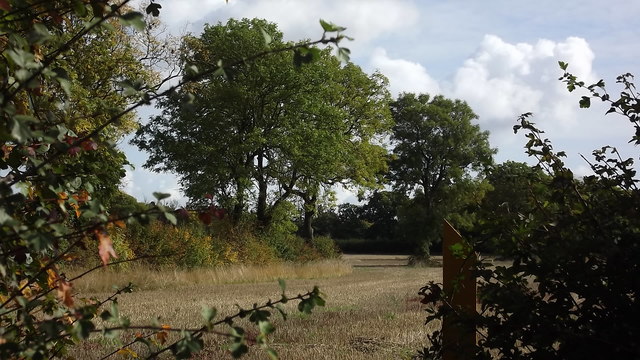
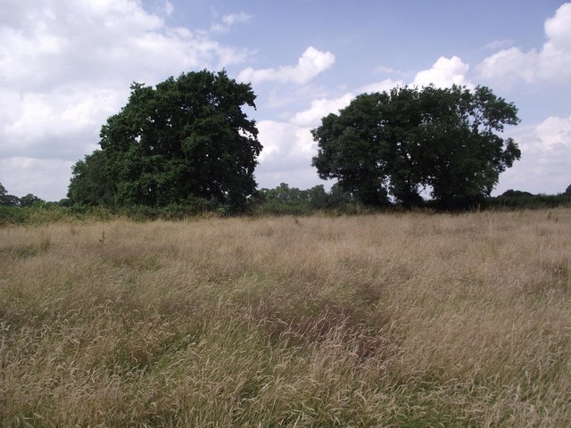
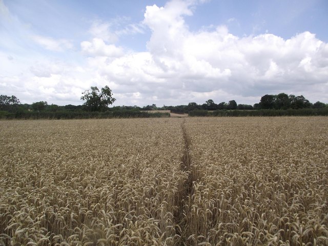
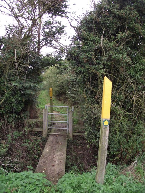
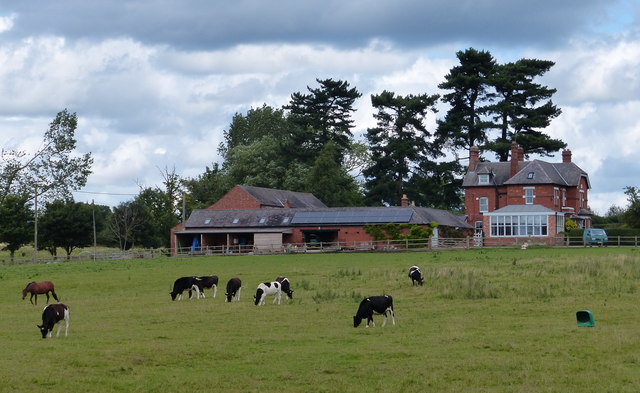
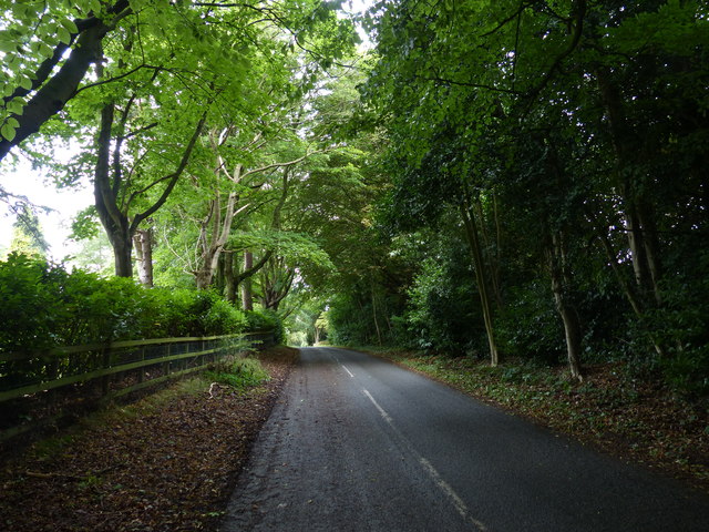
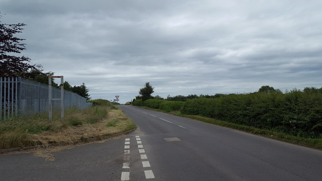
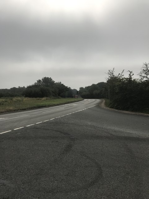
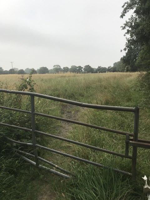
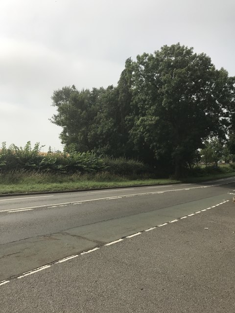
The area is known for its picturesque countryside, with the village being surrounded by fields and woodlands. Leicester Forest West is situated close to the Leicester Forest East motorway services, which lies just off the M1 motorway, providing easy access to the city and other parts of the country.

Although small in size, the village offers a range of amenities for its residents, including a primary school, a village hall, and a local pub. There are also several sports clubs and recreational facilities nearby, offering opportunities for outdoor activities such as football, cricket, and tennis.

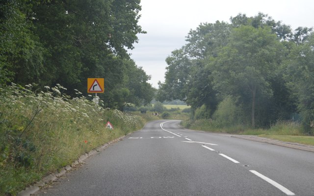
Leicester Forest West is well connected to the surrounding areas by road, with the M1 motorway and the A47 road passing nearby. The village is also served by regular bus services, providing transport links to Leicester and other nearby towns.

Overall, Leicester Forest West offers a peaceful and rural living environment, while still being within easy reach of the amenities and attractions of the city of Leicester.

If you have any feedback on the listing, please let us know in the comments section below.

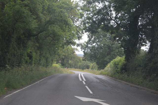
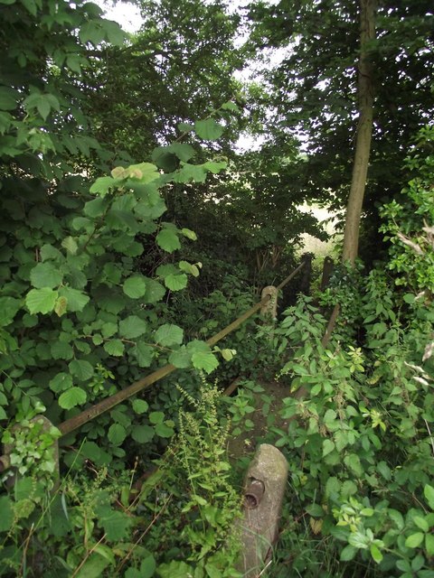
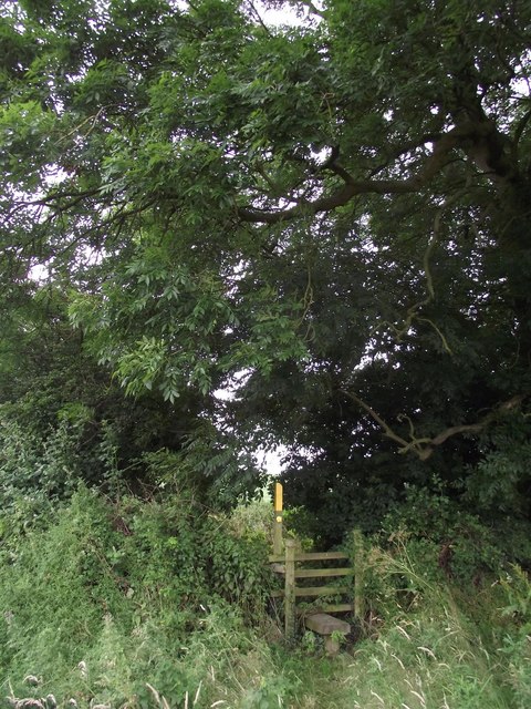
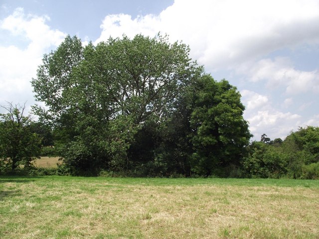
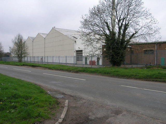
Leicester Forest West Images

Images are sourced within 2km of 52.615674/-1.2599812 or Grid Reference SK5002. Thanks to Geograph Open Source API. All images are credited.

Farmland near Desford
An avenue of copper beeches at Leicester Forest West
Trees and field near Desford
Leicester Lane, B582 The B582 runs 20 miles from Belcher's Bar to Stoneygate, forming a southerly route past Leicester.
<span class="nowrap"><a title="http://www.sabre-roads.org.uk/wiki/index.php?title=B582" rel="nofollow ugc noopener" href="http://www.sabre-roads.org.uk/wiki/index.php?title=B582">Link</a><img style="margin-left:2px;" alt="External link" title="External link - shift click to open in new window" src="https://s1.geograph.org.uk/img/external.png" width="10" height="10"/></span>
Leicester Lane, B582
The B582 runs 20 miles from Belcher's Bar to Stoneygate, forming a southerly route past Leicester. LinkExternal link
B582, Leicester Lane The B582 runs 20 miles from Belcher's Bar to Stoneygate, forming a southerly route past Leicester.
<span class="nowrap"><a title="http://www.sabre-roads.org.uk/wiki/index.php?title=B582" rel="nofollow ugc noopener" href="http://www.sabre-roads.org.uk/wiki/index.php?title=B582">Link</a><img style="margin-left:2px;" alt="External link" title="External link - shift click to open in new window" src="https://s1.geograph.org.uk/img/external.png" width="10" height="10"/></span>
B582, Leicester Lane
The B582 runs 20 miles from Belcher's Bar to Stoneygate, forming a southerly route past Leicester. LinkExternal link
Footpath from the B582 to Kirby Muxloe crosses a tributary of Rothley Brook
Footpath to Kirby Muxloe
Footpath from the Bulls Head to Pendlewood Farm
Footpath from Pendlewood Farm to Desford
Footpath from Thurlaston to Leicester Forest West
Footpath from Leicester Lane to Desford
Oaklands at Leicester Forest West
Peckleton Lane near Broadlands Manor
Minor road servicing Desford industrial estates This minor road takes a lot of traffic heading to and from the industrial works nearby.
Minor road servicing Desford industrial estates
This minor road takes a lot of traffic heading to and from the industrial works nearby.
Junction at Peckleton Common
Field view
Field view
Junction with Hinckley Road
Huge Caterpillar Or at least a huge works where Caterpillar assemble their diggers.  This works fills a good proportion of this square and much of the next one too.
Huge Caterpillar
Or at least a huge works where Caterpillar assemble their diggers. This works fills a good proportion of this square and much of the next one too.
Show me another place!

Leicester Forest West is located at Grid Ref: SK5002 (Lat: 52.615674, Lng: -1.2599812)

Administrative County: Leicestershire

District: Blaby

Police Authority: Leicestershire

What 3 Words

///masks.depths.thudded. Near Desford, Leicestershire

Nearby Locations

Leicester Forest West

Related Wikis

Leicester Forest West

Leicester Forest West is a hamlet and civil parish in the Blaby district of Leicestershire, England. It has a population of about 30, making it much smaller...

Leicester Forest

Leicester Forest was a Royal Forest that existed to the West of Leicester. == Site and history == The forest occupied an area fourteen miles long and four...

Leicester Ivanhoe Cricket Club Ground

Leicester Ivanhoe Cricket Club Ground is a cricket ground in Kirby Muxloe, Leicestershire. The first recorded match on the ground was in 1952, when the...

Bosworth Academy

Bosworth Academy (formerly Bosworth Community College) is a coeducational secondary school located in Desford, Leicester, England and is part of the LiFE...

RAF Desford

Royal Air Force Desford or more simply RAF Desford is a former Royal Air Force station located one mile (1.6 km) south of Desford, Leicestershire, and...

Kirby Muxloe railway station

Kirby Muxloe railway station was a station on the Midland Railway line between Leicester and Desford that bypassed part of the Leicester and Swannington...

Desford railway station

Desford railway station was a railway station in Leicestershire, England on the Leicester and Swannington Railway, which later became part of the Midland...

Newtown Unthank

Newtown Unthank is a hamlet in the Hinckley and Bosworth district of Leicestershire about 6 miles (10 km) west of Leicester. It is in the civil parish...

Nearby Amenities

Located within 500m of 52.615674,-1.2599812
Traffic Signals
Lat/Long: 52.6132931/-1.2543446
Fuel
Cross Rd Service Station
Addr City: Leicester Forest West
Addr Country: GB
Addr Postcode: LE9 9JE
Addr Street: Hinckley Road
Brand: Esso
Brand Wikidata: Q867662
Brand Wikipedia: en:Esso
Contact Website: https://www.esso.co.uk/en-gb/find-station/esso-leicester-essomfgdesfordcross-100335027
Fhrs Authority: Blaby
Fhrs Id: 1202141
Fhrs Local Authority Id: 48220
Operator: Motor Fuel Group
Operator Website: https://www.motorfuelgroup.com/locations/desford-crossroads-fs882/
Operator Wikidata: Q107271358
Lat/Long: 52.6130838/-1.2552573
Traffic Signals
Lat/Long: 52.6133534/-1.2542122
Bus Stop
Desford Crossroads
Bus: yes
Naptan AtcoCode: 260004219
Naptan Bearing: NW
Naptan CommonName: Desford Crossroads
Naptan Indicator: beyond
Naptan Landmark: Desford Crossroads
Naptan NaptanCode: leidtgpm
Naptan Notes: Non-Hourly - County
Naptan Street: Leicester Lane
Naptan Verified: no
Public Transport: platform
Source: naptan_import
Lat/Long: 52.6148467/-1.2579052
Bus Stop
Desford Crossroads
Bus: yes
Naptan AtcoCode: 260004220
Naptan Bearing: SE
Naptan CommonName: Desford Crossroads
Naptan Indicator: before
Naptan Landmark: Desford Crossroads
Naptan NaptanCode: leidtgpt
Naptan Notes: Non-Hourly - County
Naptan Street: Leicester Lane
Naptan Verified: no
Public Transport: platform
Source: naptan_import
Lat/Long: 52.6149271/-1.25783
Bus Stop
Desford Crossroads
Bus: yes
Naptan AtcoCode: 260005100
Naptan Bearing: SW
Naptan CommonName: Desford Crossroads
Naptan Indicator: after
Naptan Landmark: Desford Crossroads
Naptan NaptanCode: leidtmpw
Naptan Notes: Hourly - County
Naptan Street: Hinckley Road
Naptan Verified: no
Public Transport: platform
Source: naptan_import
Lat/Long: 52.6128687/-1.2550143
Bus Stop
Desford Crossroads
Bus: yes
Naptan AtcoCode: 260005101
Naptan Bearing: NE
Naptan CommonName: Desford Crossroads
Naptan Indicator: adjacent
Naptan Landmark: Desford Crossroads
Naptan NaptanCode: leidtmta
Naptan Notes: Hourly - County
Naptan Street: Hinckley Road
Naptan Verified: no
Public Transport: platform
Source: naptan_import
Lat/Long: 52.6125072/-1.2561429
Pub
White Horse
Source: OS_OpenData_StreetView
Lat/Long: 52.6156484/-1.2611981
Coton House Farm
Alt Name: Coton House
Place: farm
Source: Bing
Lat/Long: 52.6140993/-1.2609326
Desford Cross Roads
Place: isolated_dwelling
Source: Bing
Lat/Long: 52.6134165/-1.2542335
Forest House
Place: isolated_dwelling
Source: Bing
Lat/Long: 52.6153482/-1.2638999
Rose Paddock
Place: isolated_dwelling
Source: Bing
Lat/Long: 52.6119087/-1.2579991
Crossing
Lat/Long: 52.6159591/-1.263327
The data included in this document is from www.openstreetmap.org. The data is made available under ODbL.

Have you been to Leicester Forest West?

Leave your review of Leicester Forest West below (or comments, questions and feedback).