Leedon
Settlement in Bedfordshire
England
Leedon
Leedon is a small village located in the county of Bedfordshire, England. Situated approximately 10 miles south of Bedford, it falls within the Central Bedfordshire local government district. With a population of around 400 residents, Leedon is a tight-knit community known for its tranquility and rural charm.
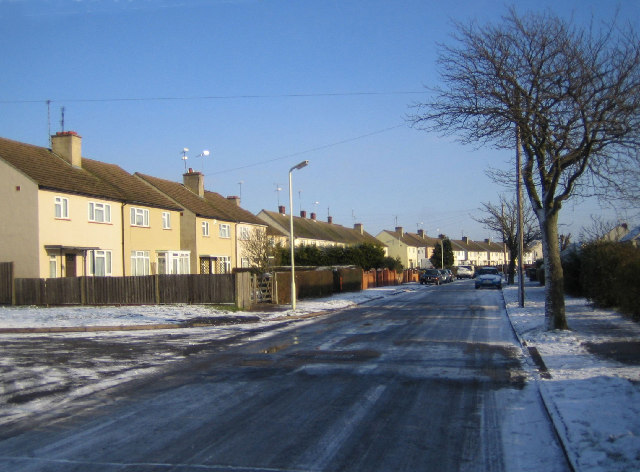
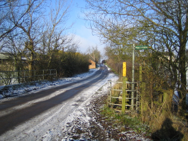
The village is characterized by its picturesque setting, surrounded by rolling hills and beautiful countryside. It boasts a number of traditional stone houses and cottages, giving it a quaint and timeless atmosphere. Leedon is primarily a residential area, with a scattering of farms and agricultural land in the surrounding area.
Despite its small size, Leedon has a strong sense of community and offers a range of amenities for its residents. The village has a local pub, The Leedon Arms, which serves as a gathering place for locals and visitors alike. There is also a village hall that hosts various events and activities throughout the year, fostering a sense of community spirit.
Leedon benefits from its proximity to the larger town of Bedford, which provides additional amenities and services. Residents have easy access to a range of schools, shops, and recreational facilities in Bedford, while still enjoying the peace and tranquility of village life.
Overall, Leedon offers a charming rural lifestyle, with its idyllic countryside setting and close-knit community. It provides a peaceful retreat from the hustle and bustle of larger towns, while still offering convenient access to nearby amenities and services.
If you have any feedback on the listing, please let us know in the comments section below.
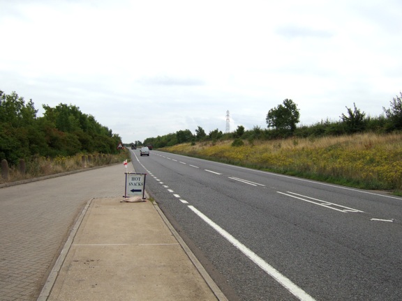
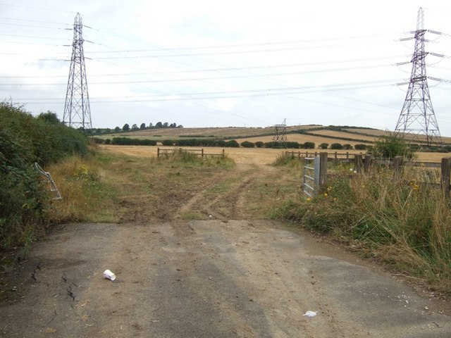
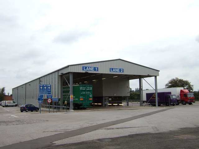
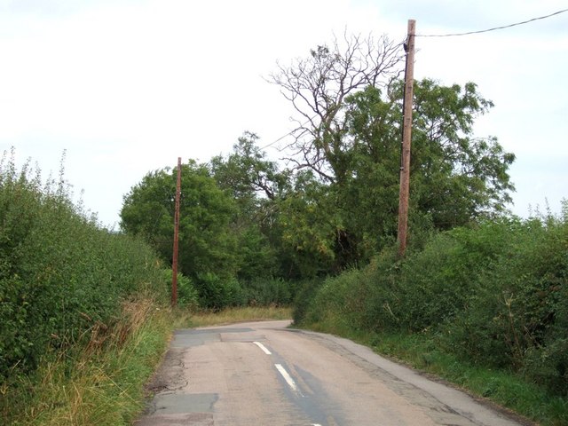
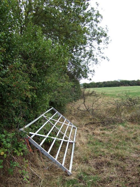
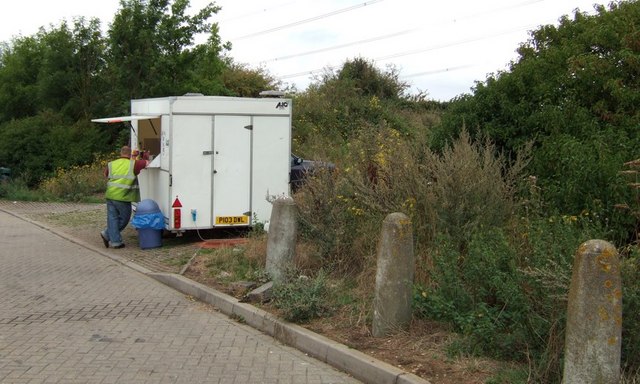
Leedon Images
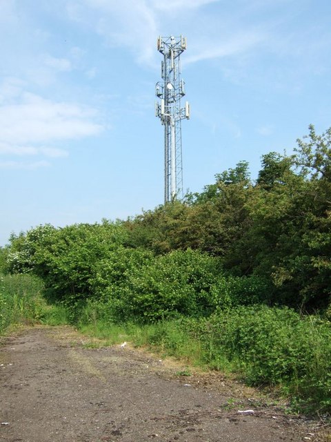
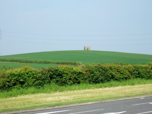
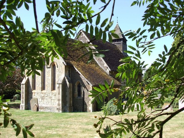
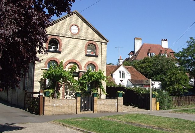
Images are sourced within 2km of 51.918977/-0.63550199 or Grid Reference SP9325. Thanks to Geograph Open Source API. All images are credited.
Leedon is located at Grid Ref: SP9325 (Lat: 51.918977, Lng: -0.63550199)
Unitary Authority: Central Bedfordshire
Police Authority: Bedfordshire
What 3 Words
///crib.miss.voter. Near Leighton Buzzard, Bedfordshire
Nearby Locations
Related Wikis

RAF Stanbridge
RAF Stanbridge (originally RAF Leighton Buzzard) was a non-flying RAF station situated on the outskirts of Leighton Buzzard, Bedfordshire, England and...
Leedon
Leedon is a former hamlet in Bedfordshire, England, which is now part of Leighton Buzzard town. Originally, Leedon was a small rural settlement and was...
Clipstone, Bedfordshire
Clipstone is a small hamlet in Bedfordshire, England. It lies within the parish of Eggington that borders with Leighton Buzzard, Heath and Reach and Hockliffe...

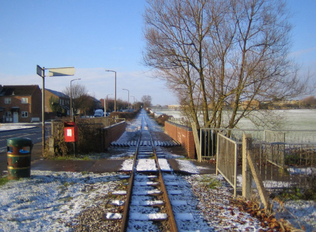
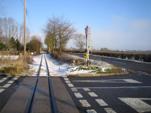
Page's Park railway station
Page's Park railway station is a railway station serving the southern area of Leighton Buzzard. Page's Park is the terminus of the heritage Leighton Buzzard...

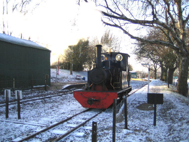
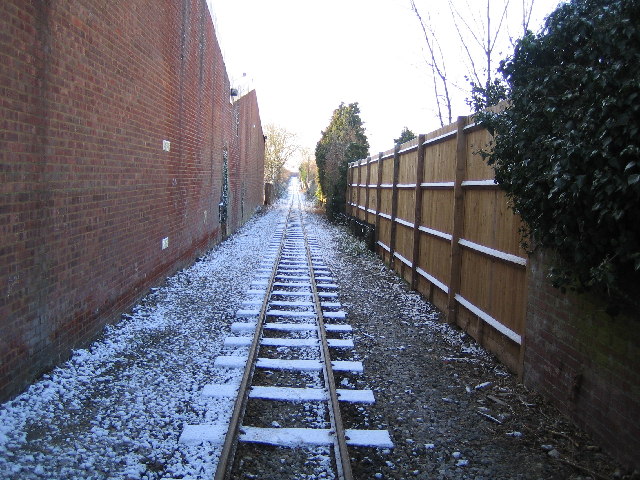
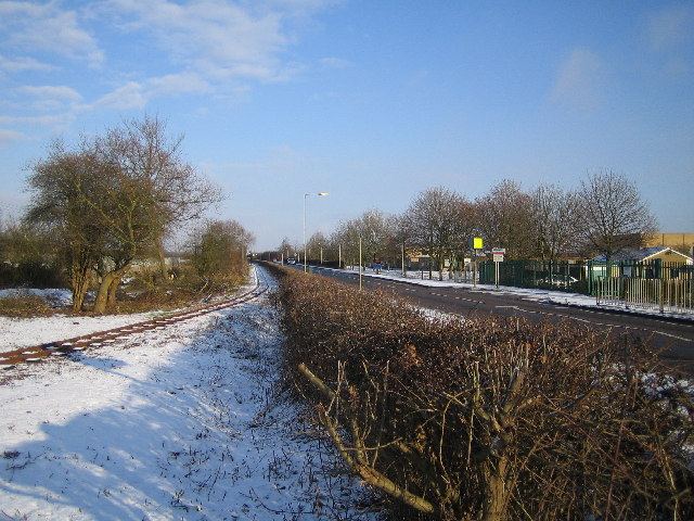
Leighton Buzzard Light Railway
The Leighton Buzzard Light Railway (LBLR) is a light railway in Leighton Buzzard in Bedfordshire, England. It operates on 2 ft (610 mm) narrow-gauge track...
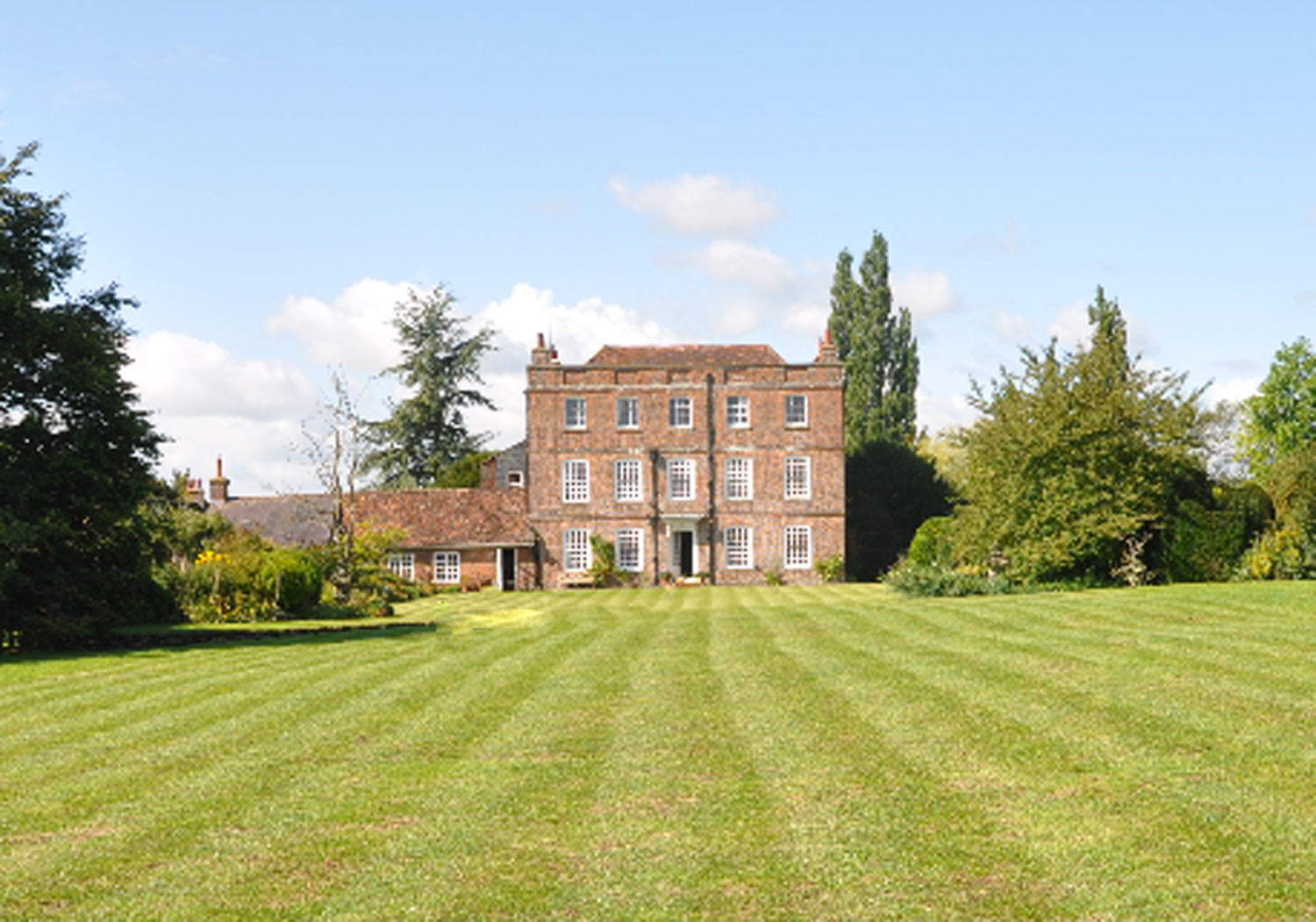
Eggington House
Eggington House is the manor house of the village of Eggington situated near Leighton Buzzard, Bedfordshire, England. The house is regarded as a very...

Bedfordshire Greensand Ridge
Bedfordshire Greensand Ridge is an escarpment which runs through Buckinghamshire, Bedfordshire, and Cambridgeshire in the south and east of England. A...

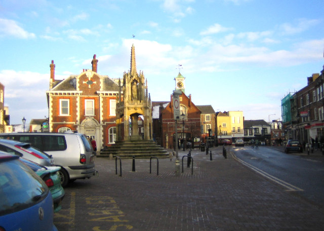
Old Town Hall, Leighton Buzzard
The Old Town Hall is a municipal building in the Market Square, Leighton Buzzard, Bedfordshire, England. The town hall, which is currently used as a restaurant...
Related Videos

UK vacation | Fun filled day at Mead Open Farm.
If you are travelling to UK with kids and you are going to live country side. Then, this is the best picnic you can book for the family ...
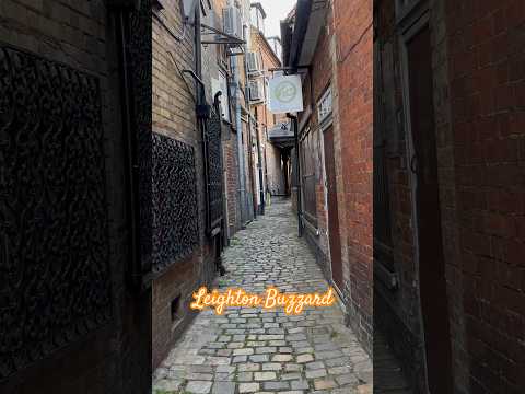


walk tour Leighton Buzzard UK
walk tour Leighton Buzzard UK.
Nearby Amenities
Located within 500m of 51.918977,-0.63550199Have you been to Leedon?
Leave your review of Leedon below (or comments, questions and feedback).