Leatherhead Common
Settlement in Surrey Mole Valley
England
Leatherhead Common

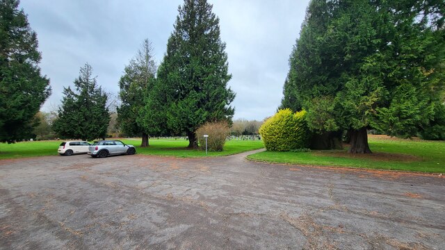
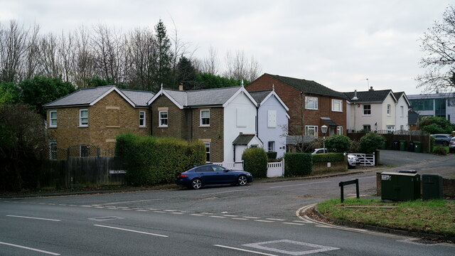
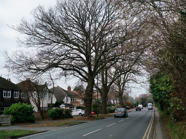
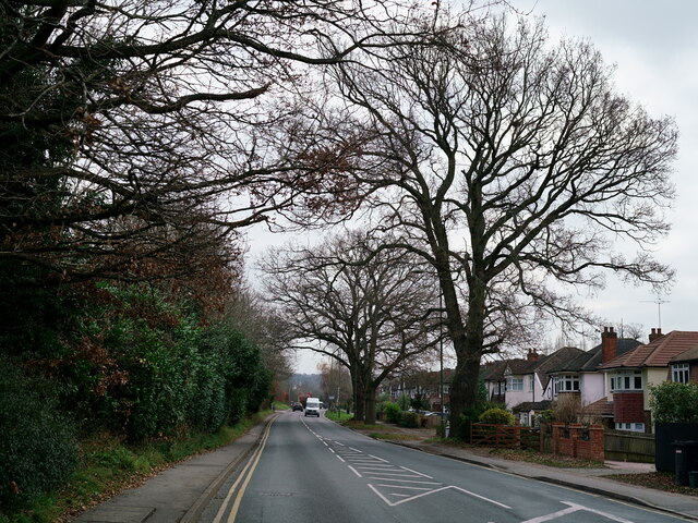
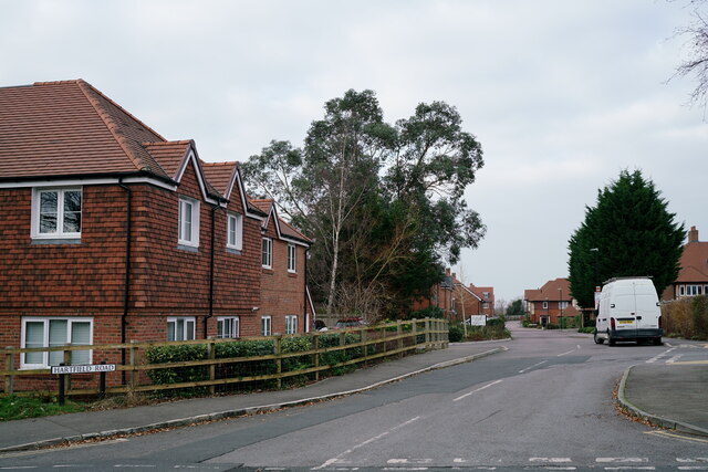
Leatherhead Common is a picturesque open space located in Leatherhead, Surrey, England. Covering an area of approximately 90 acres, it is a popular destination for both locals and visitors seeking tranquility and natural beauty.
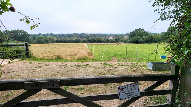
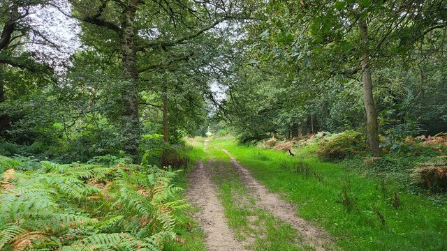
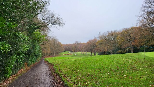
The common is characterized by its diverse landscape, comprising of heathland, woodland, and meadows. This variety of habitats supports a rich array of flora and fauna, making it a haven for nature enthusiasts. Visitors can spot a range of bird species, including the green woodpecker and the kestrel, as well as various butterflies and wildflowers during the warmer months.
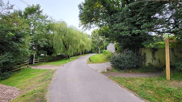
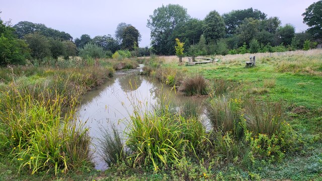
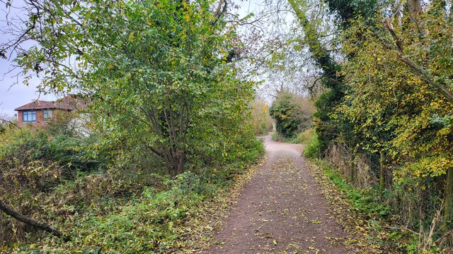
The common also features several walking trails, allowing visitors to explore and enjoy the surroundings at their own pace. One of the most prominent features of Leatherhead Common is the large pond, known as the "Pond at Common," which adds to the overall charm of the area.
In addition to its natural beauty, Leatherhead Common holds historical significance. It has been a common land since medieval times, serving as a valuable resource for grazing livestock. Today, it is managed by the local council to preserve its ecological and cultural importance.
Leatherhead Common provides an ideal escape from the hustle and bustle of everyday life, offering a peaceful retreat for nature lovers, walkers, and those seeking a breath of fresh air. Its accessibility, combined with its natural and historical value, makes it a cherished gem within the Surrey county.
If you have any feedback on the listing, please let us know in the comments section below.
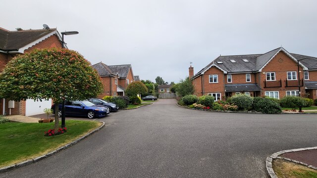
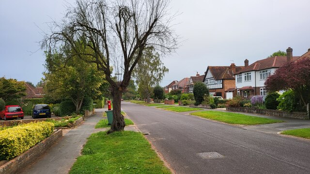
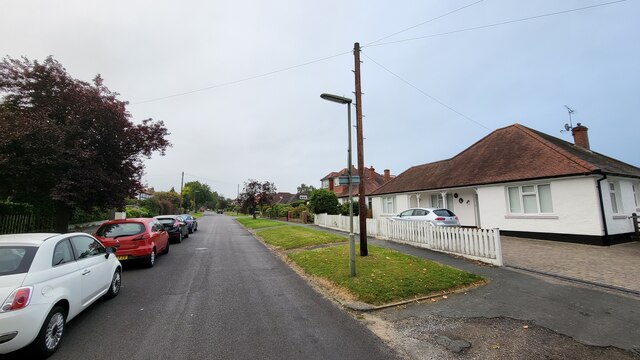
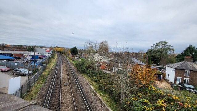
Leatherhead Common Images
Images are sourced within 2km of 51.311203/-0.33352928 or Grid Reference TQ1658. Thanks to Geograph Open Source API. All images are credited.

Leatherhead Common is located at Grid Ref: TQ1658 (Lat: 51.311203, Lng: -0.33352928)
Administrative County: Surrey
District: Mole Valley
Police Authority: Surrey
What 3 Words
///twins.quest.avoid. Near Leatherhead, Surrey
Nearby Locations
Related Wikis

Therfield School
Therfield School is a coeducational secondary school and sixth form located in Leatherhead, Surrey, England. Therfield School sixth form teaches courses...
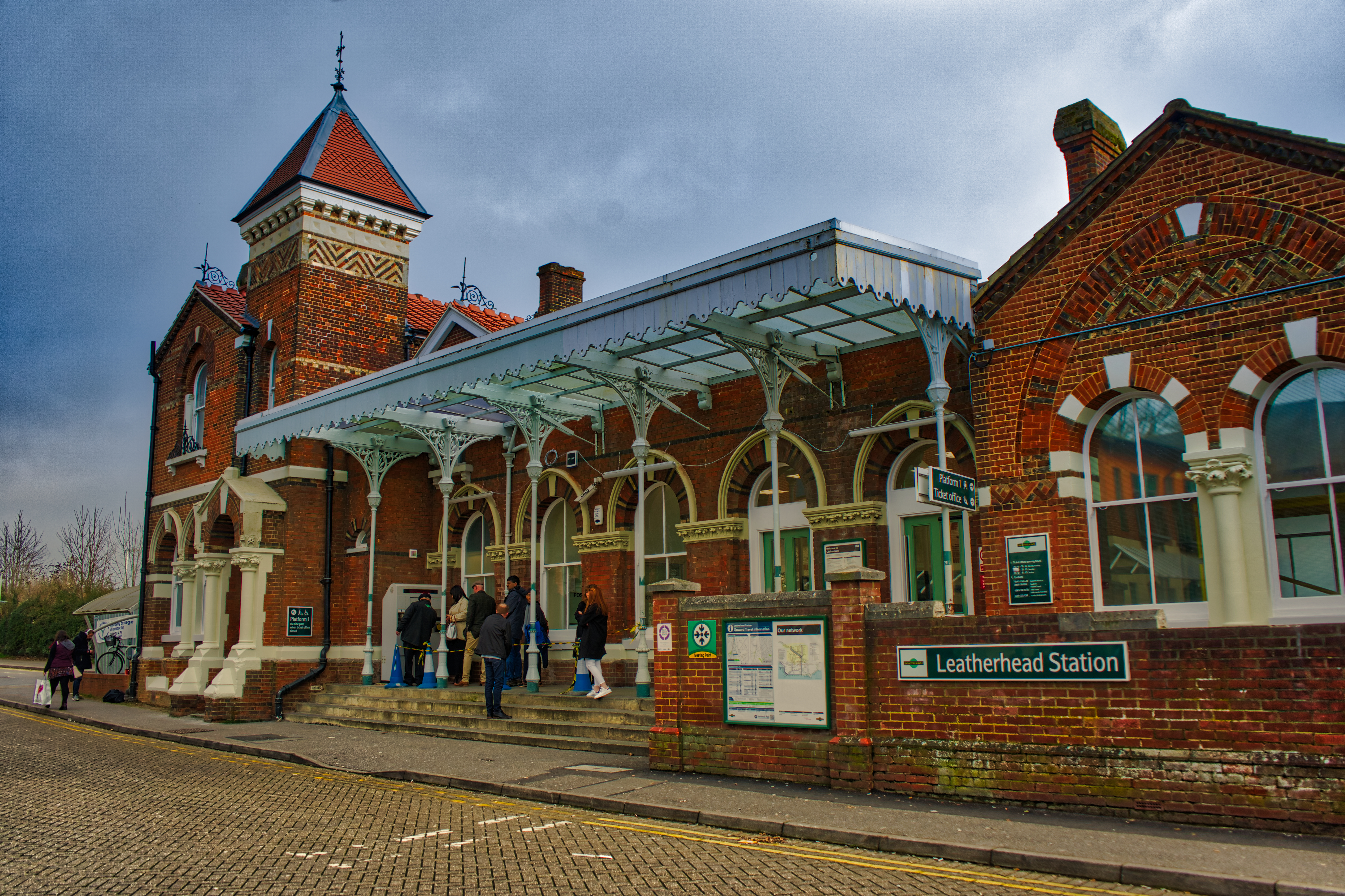
Leatherhead railway station
Leatherhead railway station is in Leatherhead, Surrey, England. It is managed by Southern, with services provided by them and South Western Railway. It...

Church of Our Lady and St Peter, Leatherhead
The Church of Our Lady and St Peter is a Roman Catholic church in Leatherhead, Surrey. It was founded as a local chapel during the First World War and...
St Andrew's Catholic School
St Andrew's Catholic School is a Christian secondary school and sixth form college in Grange Road, Ottways Lane, Leatherhead, close to the town of Epsom...

Ashtead Common
Ashtead Common, nearly 495 acres (c. 200 ha), is a wooded area open to the public, to the north of the village of Ashtead in Surrey, England. It is owned...

Wesley House, Leatherhead
Wesley House, formerly the Council Offices, is a former municipal building on Bull Hill, Leatherhead, Surrey, England. The building, which was the headquarters...
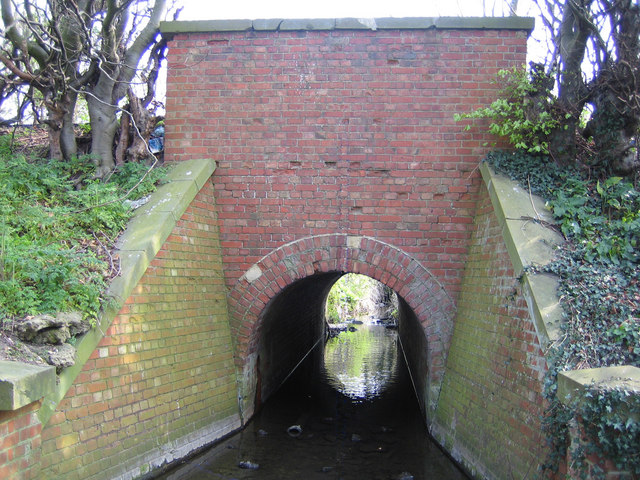
The Rye (brook)
The Rye is a stream rising east of Ashtead and flowing into the River Mole near Leatherhead, Surrey. == Course == The Rye Brook flows westwards across...

St John's School, Leatherhead
St John's School in Leatherhead, Surrey is a fully co-educational private school for pupils aged 11 to 18. The school offers day, weekly and flexible boarding...
Nearby Amenities
Located within 500m of 51.311203,-0.33352928Have you been to Leatherhead Common?
Leave your review of Leatherhead Common below (or comments, questions and feedback).