Leaston
Settlement in East Lothian
Scotland
Leaston

Located in East Lothian, Scotland, Leaston is a small village with a population of around 200 residents. Nestled in the picturesque countryside, this rural settlement offers a peaceful and idyllic lifestyle for its inhabitants.
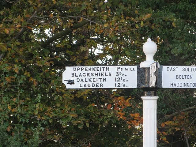
Leaston is situated approximately 15 miles east of Edinburgh, making it an ideal location for commuters who work in the city but prefer a quieter environment to reside in. The village is well-connected to the capital via a network of well-maintained roads, ensuring easy accessibility for both residents and visitors.
Despite its small size, Leaston boasts a strong sense of community spirit, with various local events and gatherings held throughout the year, bringing residents together. The village has a close-knit atmosphere, where neighbors often know each other by name and readily lend a helping hand.
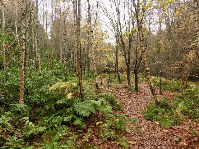
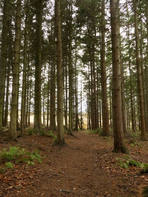
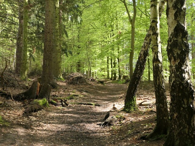
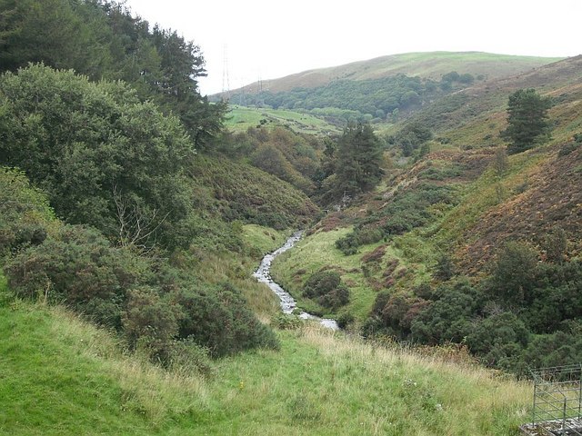
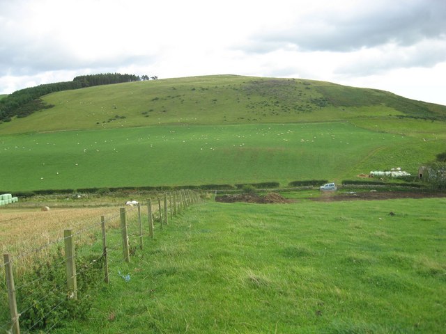
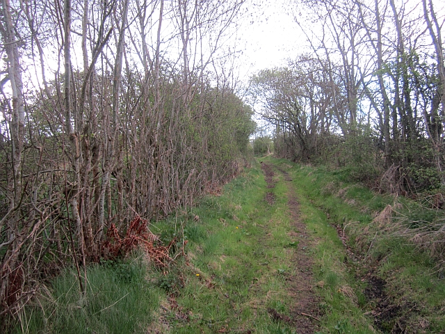
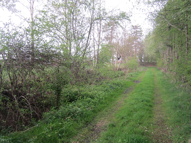
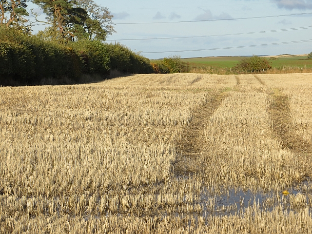
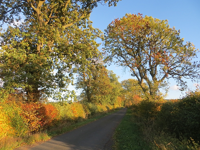
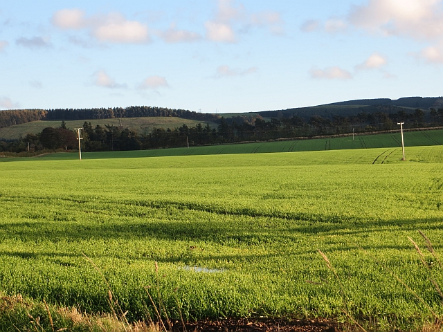
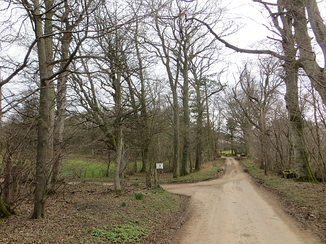
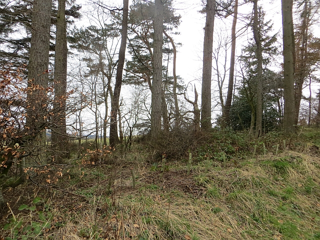
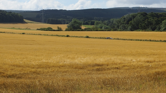
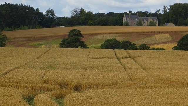
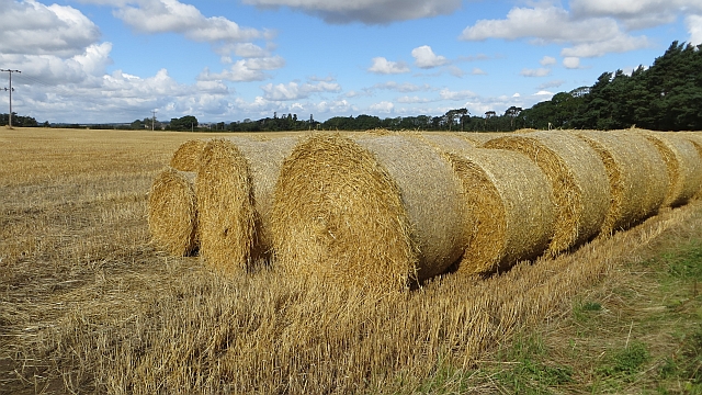
Surrounded by lush green fields and rolling hills, Leaston offers ample opportunities for outdoor activities. The village is within close proximity to several nature reserves and hiking trails, making it an excellent destination for nature enthusiasts and those seeking a peaceful retreat from the bustle of city life.
While there are limited amenities within the village itself, neighboring towns provide essential services such as grocery stores, schools, and healthcare facilities. Additionally, Leaston benefits from its proximity to various historical landmarks and tourist attractions in East Lothian, including stunning castles, charming market towns, and beautiful coastline.
In summary, Leaston is a tranquil village that offers a close-knit community, beautiful natural surroundings, and easy access to both rural charm and urban amenities. It is a desirable place to call home for those seeking a quieter lifestyle while still enjoying proximity to larger urban centers.
If you have any feedback on the listing, please let us know in the comments section below.
Leaston Images
Images are sourced within 2km of 55.861257/-2.8263887 or Grid Reference NT4863. Thanks to Geograph Open Source API. All images are credited.

Leaston is located at Grid Ref: NT4863 (Lat: 55.861257, Lng: -2.8263887)
Unitary Authority: East Lothian
Police Authority: The Lothians and Scottish Borders
What 3 Words
///sober.pranced.basin. Near Pencaitland, East Lothian
Nearby Locations
Related Wikis

Humbie railway station
Humbie railway station served the civil parish of Humbie, East Lothian, Scotland, from 1901 to 1933 on the Macmerry Branch. == History == The station was...
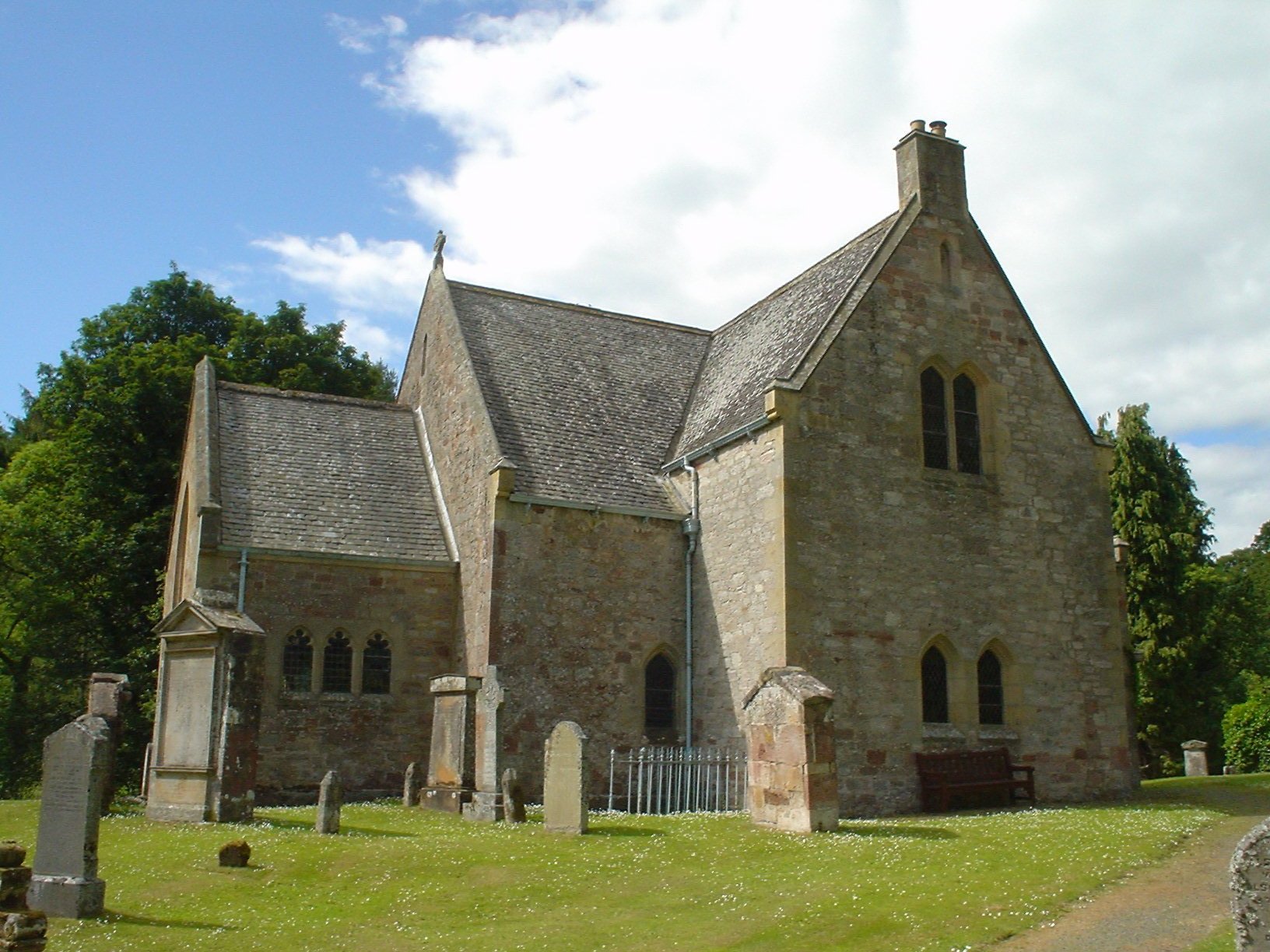
Humbie Parish Church
Humbie Parish Church is a church in the small village of Humbie, East Lothian, Scotland. It is part of the Church of Scotland, and is a linked charge which...

Humbie
Humbie is a hamlet and rural parish in East Lothian, Scotland lying in south-east of the county, approximately 10 miles (16 km) south-west of Haddington...
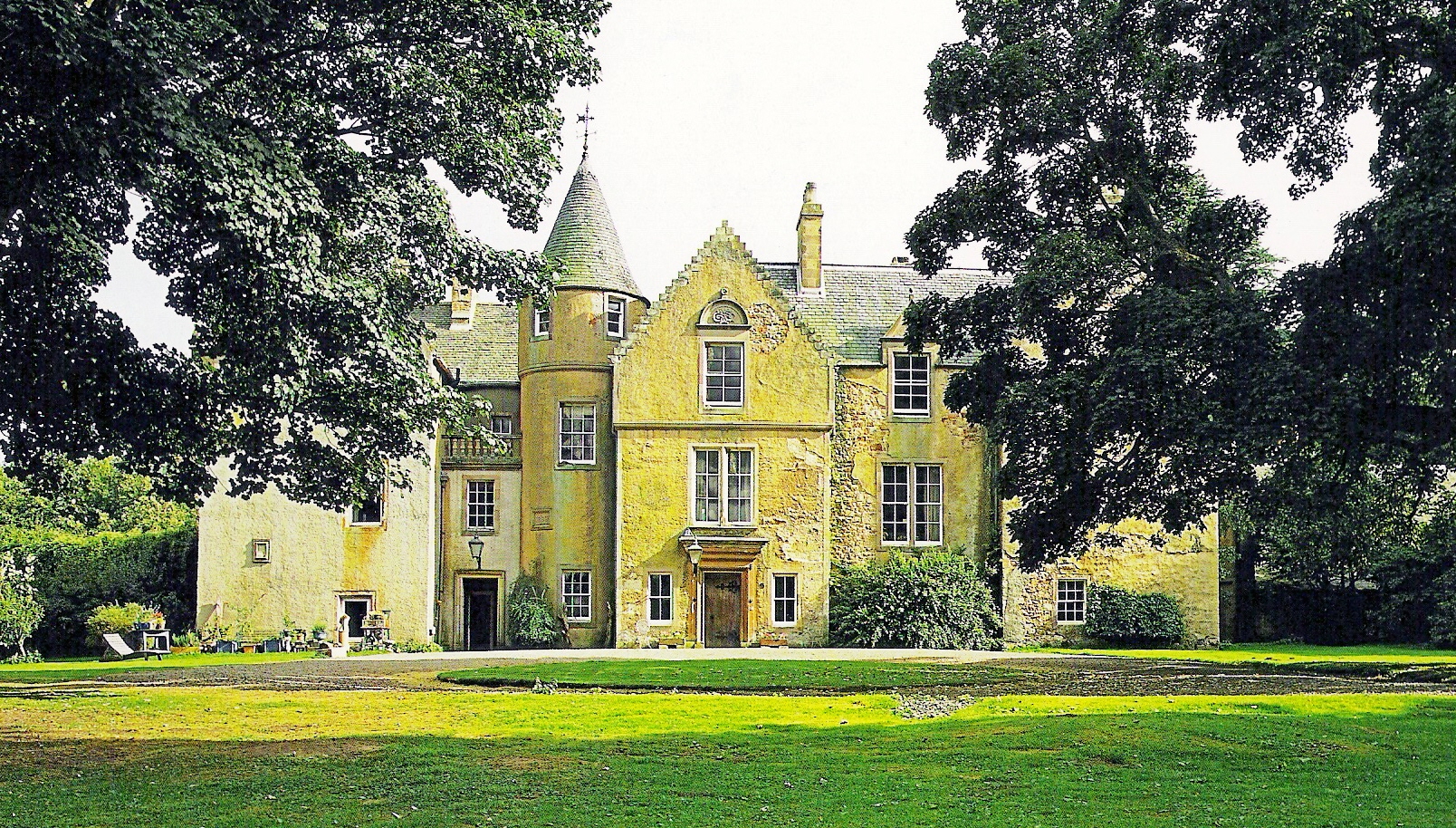
Keith Marischal
Keith Marischal is a Scottish Baronial Country house lying in the parish of Humbie, East Lothian, Scotland. The original building was an "L-shaped" Tower...
Nearby Amenities
Located within 500m of 55.861257,-2.8263887Have you been to Leaston?
Leave your review of Leaston below (or comments, questions and feedback).