Beedon Hill
Settlement in Berkshire
England
Beedon Hill

Beedon Hill is a picturesque village located in the county of Berkshire, England. Situated approximately 5 miles southwest of the town of Newbury, Beedon Hill is nestled within the stunning rural landscape of the North Wessex Downs Area of Outstanding Natural Beauty.
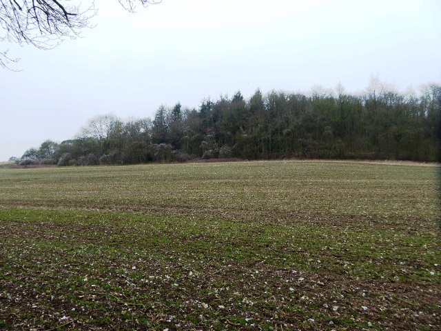
The village is known for its charming and tranquil atmosphere, making it an ideal destination for those seeking a peaceful retreat away from the hustle and bustle of city life. Beedon Hill is characterized by its rolling hills, meandering streams, and lush green fields, offering breathtaking views and ample opportunities for outdoor activities such as walking, hiking, and horseback riding.
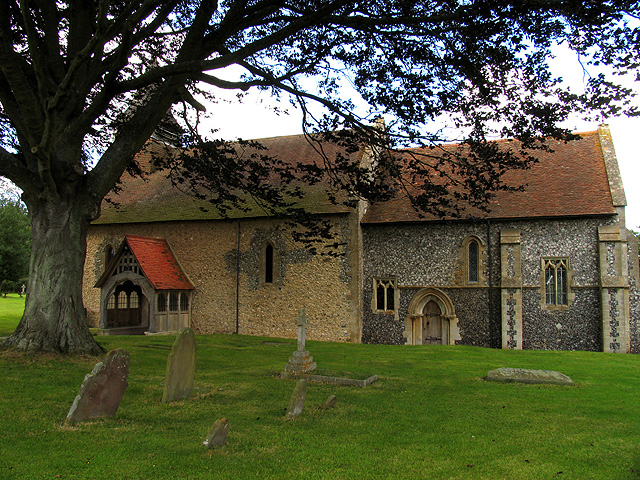
The heart of the village is centered around St. Nicholas Church, a beautiful medieval church that dates back to the 12th century. The church serves as a focal point for the community and provides a sense of history and heritage. Additionally, Beedon Hill boasts a small but vibrant community, with a local pub, village hall, and a primary school that cater to the needs of its residents.
The surrounding area of Beedon Hill is dotted with historic landmarks and attractions, including the nearby ruins of Donnington Castle and the picturesque village of East Ilsley. The village also benefits from its proximity to Newbury, which offers a wide range of amenities, shopping centers, and entertainment options.
In summary, Beedon Hill is a charming village nestled in the beautiful Berkshire countryside, offering a peaceful retreat and a strong sense of community for both residents and visitors.
If you have any feedback on the listing, please let us know in the comments section below.
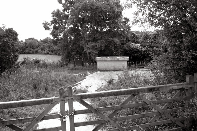
Beedon Hill Images
Images are sourced within 2km of 51.491147/-1.298506 or Grid Reference SU4877. Thanks to Geograph Open Source API. All images are credited.


Beedon Hill is located at Grid Ref: SU4877 (Lat: 51.491147, Lng: -1.298506)
Unitary Authority: West Berkshire
Police Authority: Thames Valley
What 3 Words
///converged.author.hurt. Near Compton, Berkshire
Nearby Locations
Related Wikis

World's End, Berkshire
World's End is a hamlet in Berkshire, England. It is in the district of West Berkshire, near the A34 north of Newbury. To the north is the village of Beedon...
Beedon
Beedon is a village and civil parish about 6+1⁄2 miles (10.5 km) north of Newbury in West Berkshire, England. == Geography == The village has outlying...
Ashridge Wood
Ashridge Wood is a 15.9-hectare (39-acre) biological Site of Special Scientific Interest south-west of Compton in Berkshire. It is in the North Wessex...

Bothampstead
Bothampstead is a hamlet in the English county of Berkshire, and within the civil parish of Hampstead Norreys. It consists of several houses and a farm...

Stanmore, Berkshire
Stanmore is a hamlet in Berkshire, England. In the 2011 Census it was included in the civil parish of Beedon. It is situated west of the A34, 7 miles north...

Peasemore
Peasemore is a village and civil parish in the English ceremonial and historic county of Berkshire in the West Berkshire unitary authority area, west of...

Perborough Castle
Perborough Castle is the site of an Iron Age univallate hillfort located at Compton in Berkshire. The site covers approximately 14 acres (5.7 ha), and...
Chieveley House
Chieveley House, on the High Street in the village of Chieveley, Berkshire is a country house dating from the early 18th century. It is a Grade II* listed...
Nearby Amenities
Located within 500m of 51.491147,-1.298506Have you been to Beedon Hill?
Leave your review of Beedon Hill below (or comments, questions and feedback).